NOUS41 KGYX 202058 CCA
PNSGYX
MEZ007>009-012>014-018>028-NHZ001>015-210900-

Public Information Statement...CORRECTED
National Weather Service Gray ME
458 PM EDT WED JUL 20 2016

...Tornado Confirmed Near Pittsburg in Coos County New Hampshire...

Location...Pittsburg in Coos County New Hampshire
Date...July 18 2016
Estimated Time...1242 PM EDT TO 1245 PM EDT
Maximum EF-Scale Rating...EF0
Estimated Maximum Wind Speed...75 MPH
Maximum Path Width...200 YARDS
Path Length...1.75 MILES
Beginning Lat/Lon...45.069N 71.341W
Ending lat/Lon...45.070N 71.306W
* Fatalities...0
* Injuries...0

* The information in this statement is preliminary and subject to
change pending final review of the event(s) and publication in
NWS Storm Data.

...Summary...
The National Weather Service in Gray ME has confirmed a tornado
near Pittsburg in Coos County New Hampshire on July 18 2016.

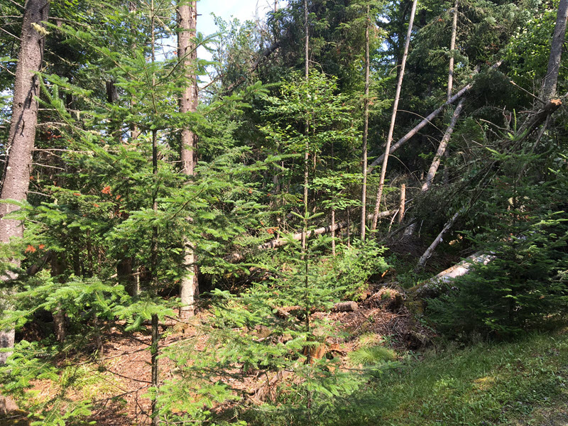
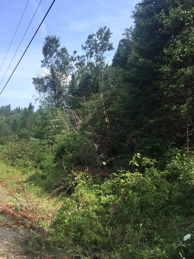
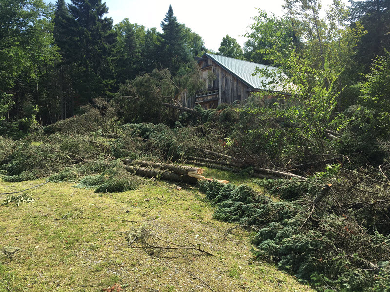
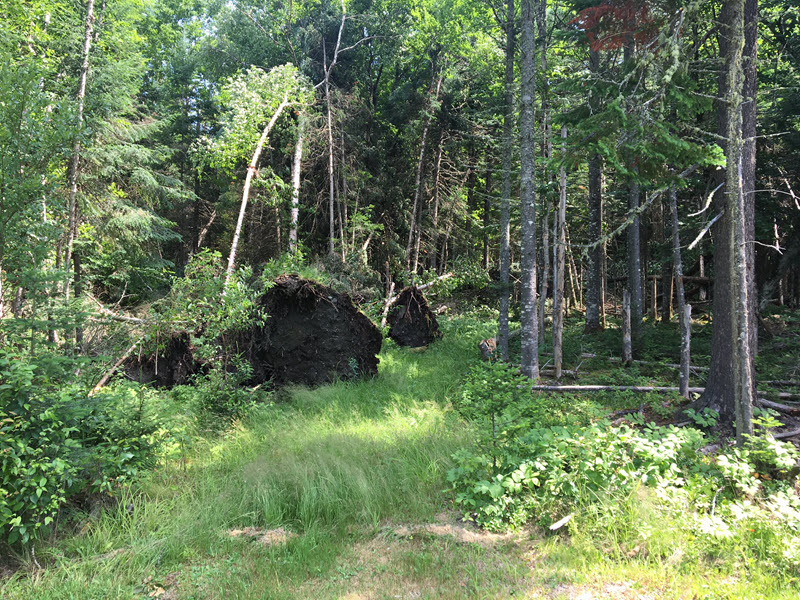
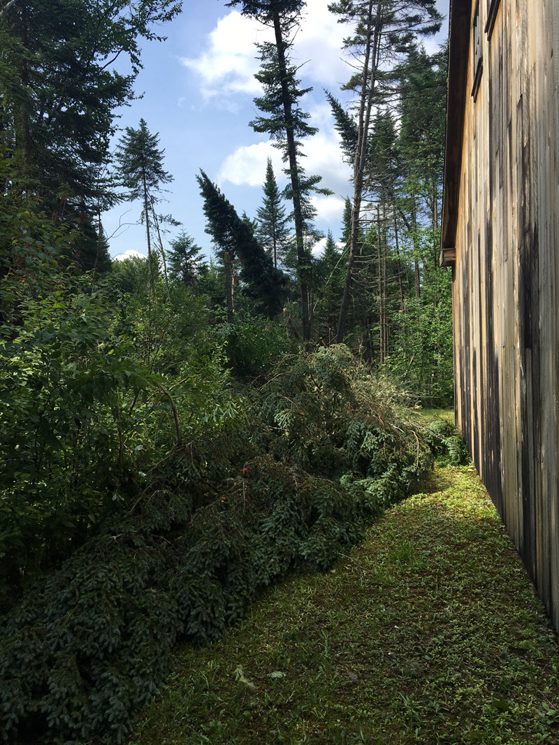
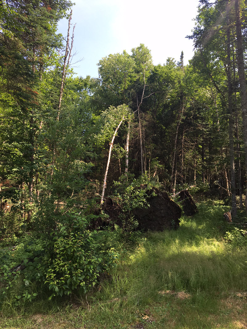
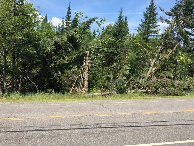
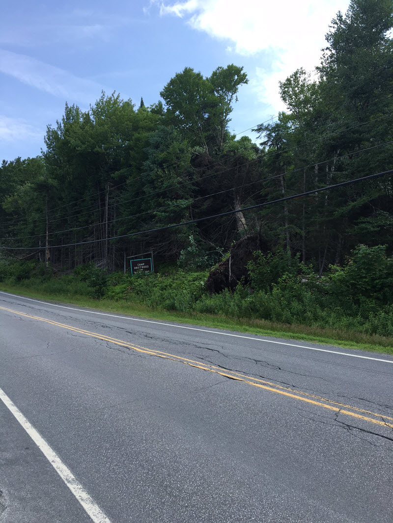
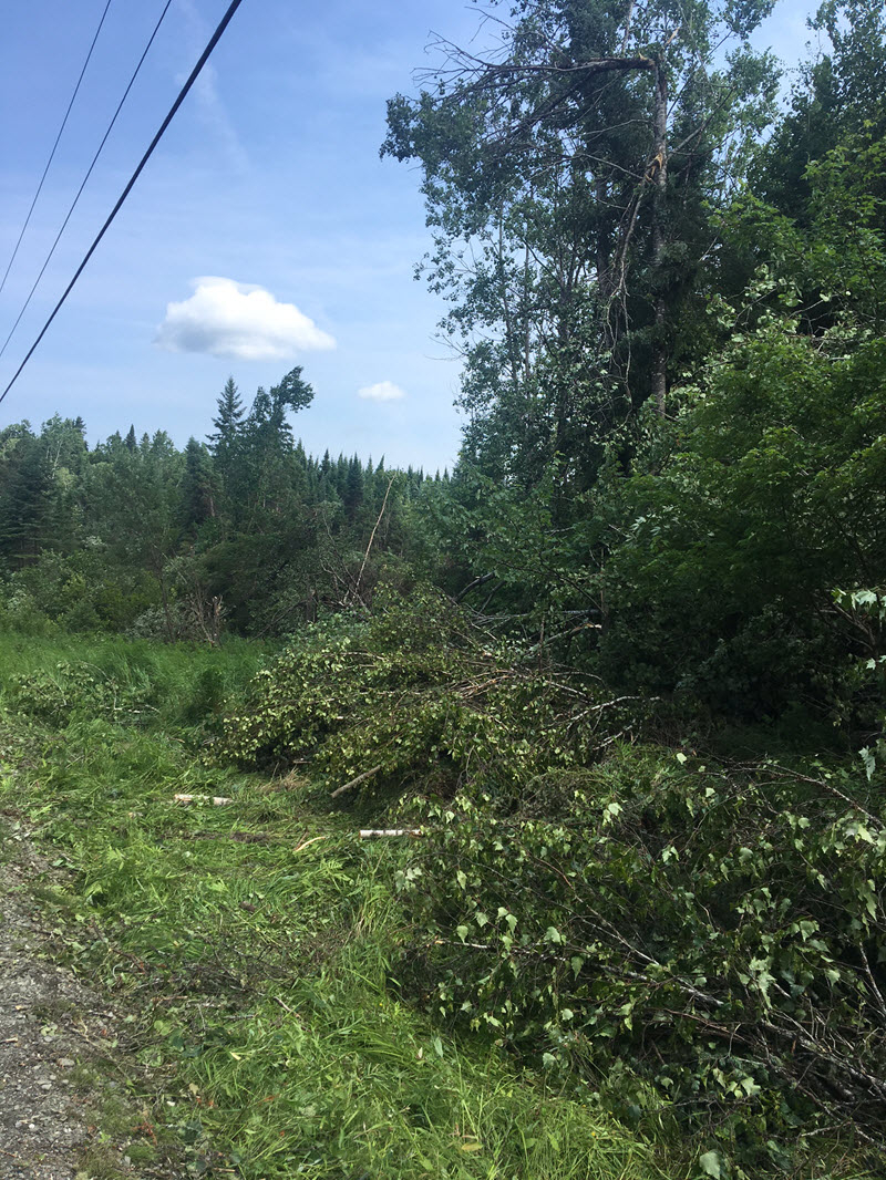
A concentrated area of tree damage consistent with a tornado was
found in Pittsburg from near Back Lake to River Road just north
of Lake Francis State park. Hundreds of trees were uprooted with
dozens snapped. Downed trees took wires down in multiple
locations. This damage was consistent with maximum winds of 75
mph.

This information can also be found on our website at
WEATHER.GOV/GYX.

For reference...the Enhanced Fujita Scale classifies tornadoes
into the following categories:

EF0...wind speeds 65 to 85 mph.
EF1...wind speeds 86 to 110 mph.
EF2...wind speeds 111 to 135 mph.
EF3...wind speeds 136 to 165 mph.
EF4...wind speeds 166 to 200 mph.
EF5...wind speeds greater than 200 mph.

$$

LEGRO/ARNOTT
Damage Photos
