
A strengthening storm system will bring impactful weather to the much of Central U.S. over the next couple of days, including heavy snow in the northern Rockies, Critical fire weather conditions for portions of the Plains, and increasing severe weather chances from the central/southern Plains to the Upper Midwest. Read More >
|
Definitions for Marine Forecasts |
Coastal Waters Forecast (CWF)
The marine forecast for the area, including lagoons and harbors, from the mean high water mark (average height of high water over a 19-year period) along the island's coastline extending out to 40 NM. WFO-Guam issues a CWF for these islands: Guam, Rota, Tinian, Saipan, Koror Palau, Yap, Weno Chuuk, Pohnpei, Kosrae, and Delap Majuro.
Combined Seas
Generally referred to as SEAS. Used to describe the combination or interaction of wind waves and swells in which the separate components are not distinguished. This includes the case when swell is negligible or is not considered in describing sea state. Specifically, SEAS = sqrt(S²+W²) where S is the height of the swell and W is the height of the wind wave. When used, SEAS should be considered as being the same as the total significant wave height.
Coordinated Universal Time (UTC)
The standard international time reference based on the time at 0 degrees longitude (Greenwich Meridian).
Fetch
The across water distance over which waves are generated by winds having an approximately constant direction and speed.
Gale Warning
A warning of sustained winds or frequent gusts from 34 to 47 kt inclusive, predicted or occurring, not generated by a tropical cyclone.
Gust
A fluctuation of the mean wind speed with variations of 10 kt or more between peaks and lulls.
High Seas Forecasts (HSF)
Marine forecasts for the major oceans of the world. In Hawaii , High Seas Forecasts are issued for the North Pacific...from the Equator to 30N, between 140W and 160E longitude, and the South Pacific, from the Equator to 25S, between 120W and 160E.
Typhoon (also known as Hurricane east of the date line)
A tropical cyclone generating sustained winds of 64 kt or greater.
Typhoon Force Wind Warning
A warning for sustained winds or frequent gusts of 64 kt or greater, either predicted or occurring, NOT associated with a tropical cyclone.
Knot
Unit of speed used in navigation, equal to 1 nautical mile per hour or about 1.15 statute mile per hour.
Nautical Mile
Unit of distance, equal to about 1.15 statute mile (length of 1 minute of latitude).
Rip Currents
Narrow channels of water flowing seaward from the beach or reef through channels in the reef.
Significant Wave Height
The average height (trough to crest) of the one-third highest waves. An experienced observer will most frequently report heights equivalent to the average of the highest one-third of all waves observed.
Small Craft Advisory for Wind
An advisory for areas included in the Marianas coastal waters forecast for sustained winds of 22 to 33 knots.
Small Craft Advisory for Hazardous Seas
An advisory for areas included in the Marianas coastal waters forecast for combined seas conditions of 10 feet or more and winds speeds less than 22 knots.
Special Marine Warning (SMW)
A warning of potentially hazardous weather conditions usually of short duration (less than 2 hours) producing wind speeds of 34 kt or more, and / or waterspouts affecting areas included in a coastal waters forecast.
Storm Warning
A warning of sustained winds or frequent gusts of 48 to 63 kt inclusive not generated by a tropical cyclone.
Sustained Wind
The wind speed obtained in the U.S. by averaging observed values over a period of 1 minute.
Surf Zone Forecast (SRF)
A routine or event-driven forecast geared toward non-boating marine users issued for an area extending from the near-coastal point where waves begin breaking (frequently along the reef line) to the high tide point on shore. In the Marianas this is a routine forecast product, issued twice daily and updated as needed.
Swell
Wind-generated waves that have traveled out of their generating area. Swell characteristically exhibits smoother, more regular and uniform crests and a longer period than wind waves. A typical swell will have a period which ranges from 9 seconds to 20 seconds.
Tropical Cyclone
A generic term for a synoptic scale cyclone originating over tropical or subtropical waters with organized convection and definite cyclonic surface wind circulation.
Tropical Depression
A tropical cyclone in which the maximum sustained surface wind is 33 kt or less.
Tropical Storm
A tropical cyclone in which the maximum sustained surface wind ranges from 34 to 63 kt inclusive.
Waterspout
An over-water rotating column of air which extends from the base of the cloud to the surface of the water.
Wave Period
Time, in seconds, between the passage of consecutive wave crests past a fixed point.
Wave Spectrum
The distribution of wave energy with respect to wave frequency or period. Wave spectra assist in differentiating between wind waves and swell.
Wind Waves
Waves generated from the action of wind on the local water surface. A typical wind wave field will have a period which ranges from 4 seconds to 8 seconds.
|


 Public Forecast
 Marine Forecast
 Radar
Radar Satellite
 Area Forecast Discussion
.png) Active Tropical Cyclones
Active Tropical Cyclones Palau Sector
 Yap Sector
 Marianas Sector
 Chuuk Sector
 Pohnpei/Kosrae Sector
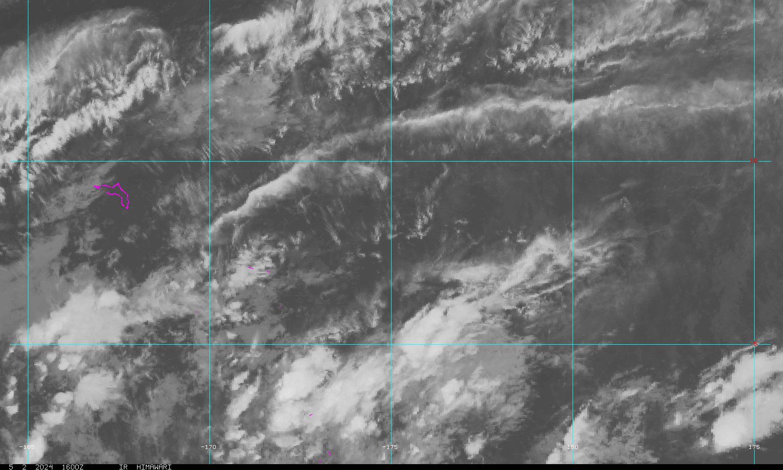 Marshall Islands Sector