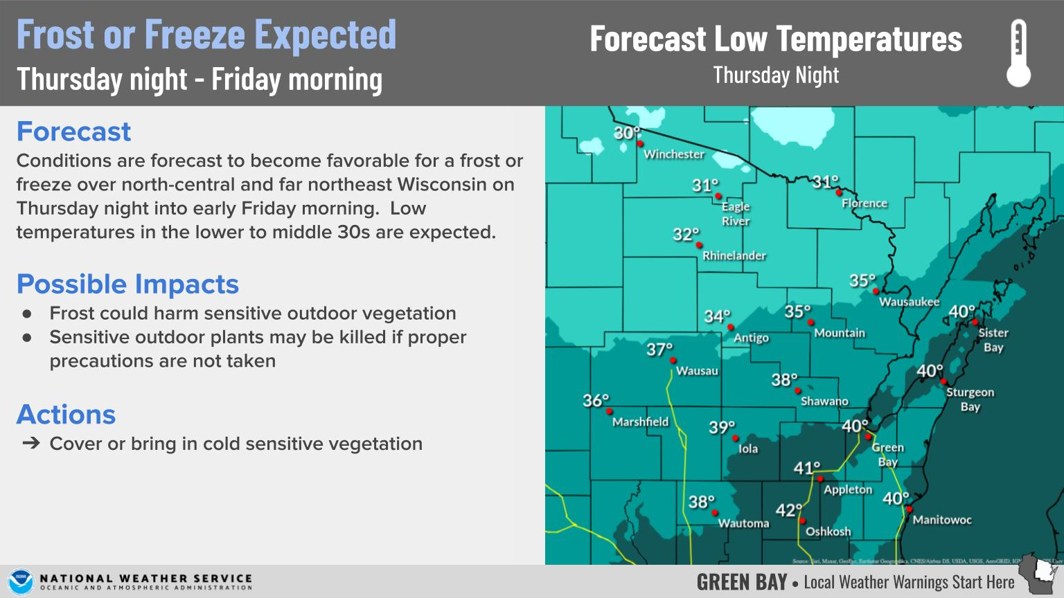
Thunderstorms, some severe, may produce heavy to excessive rainfall and isolated flooding over portions of the Southern Plains through Saturday. Widespread showers and thunderstorms will spread east into the Great Lakes, Ohio Valley, Mid Atlantic and Northeast. Dry conditions, combined with gusty winds will continue to support an elevated fire weather threat in the Desert Southwest. Read More >
Overview
|
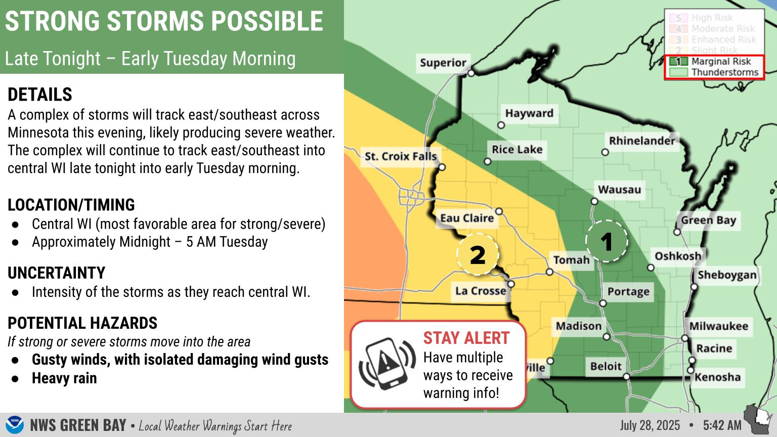
Flooding: Heavy rainfall is possible through this afternoon, especially across central and northern Wisconsin where flood watches remain are in effect, as periods of rain push across the area. Some places could see additional rainfall amounts up to 2 inches, with a few locally higher amounts. The heavy rain could lead to urban, rural, river and small stream flooding. If you are in a flood prone area, be prepared for rapidly changing conditions. Remember, if you come upon a flooded roadway...Turn Around, Do Not Drown!
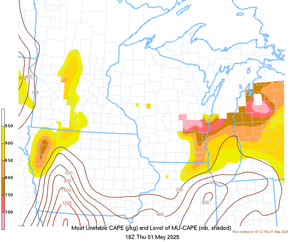
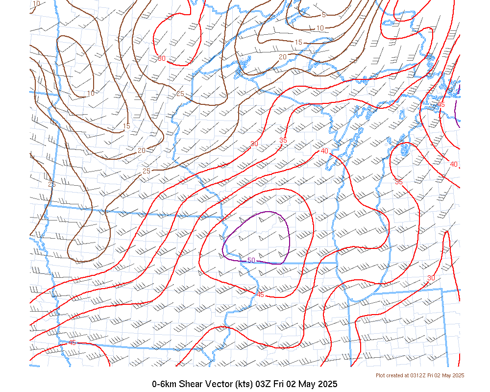
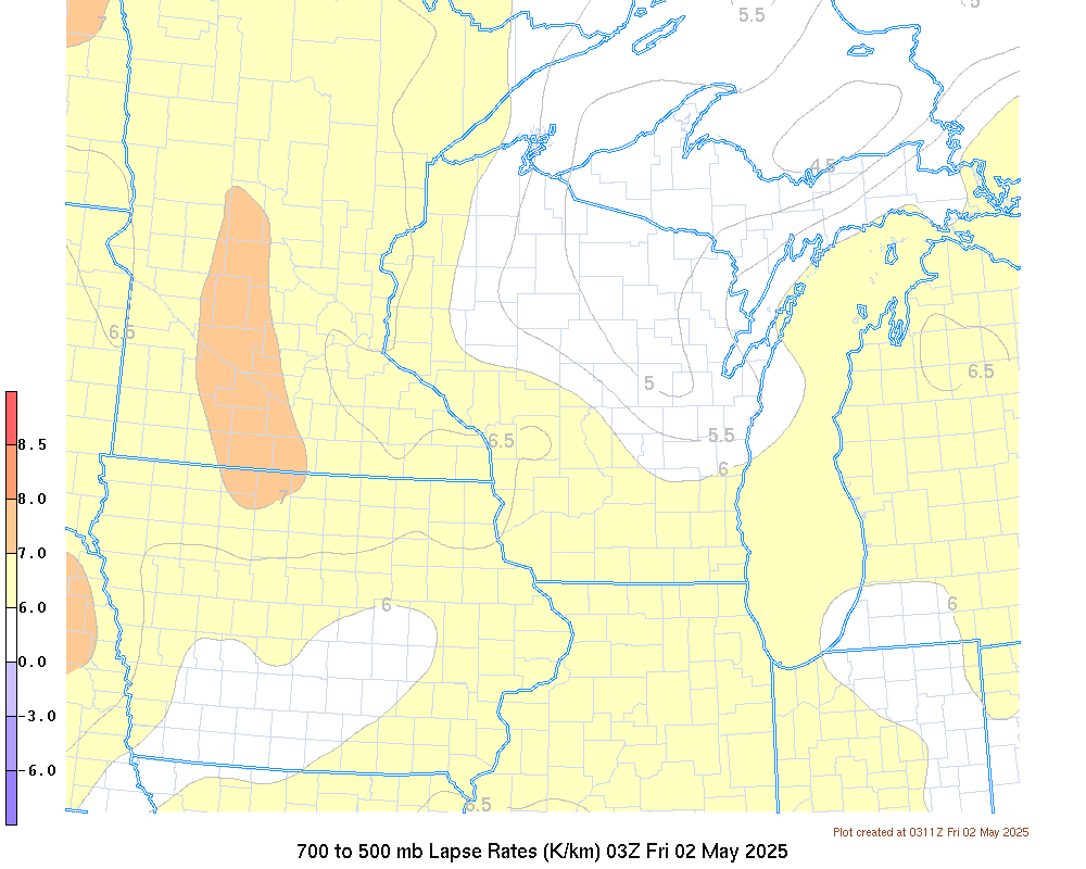
Severe Weather: Thunderstorms are possible across central and east central Wisconsin this afternoon. A few storms could be strong to severe and produce damaging straight-line winds and hail. See the SPC tab below for more info. These maps will be updated as needed throughout the course of day, so check back for updates. Greatest Threat Time For Severe Storms: 1 pm to 6 pm Today If You Receive Storm Damage: Report storm damage and hail to us through Social Media! Search NWSGreenBay on Facebook and send us a direct message, or tweet to us using @NWSGreenBay.
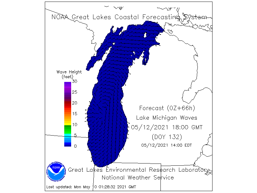
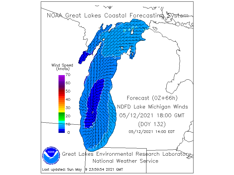
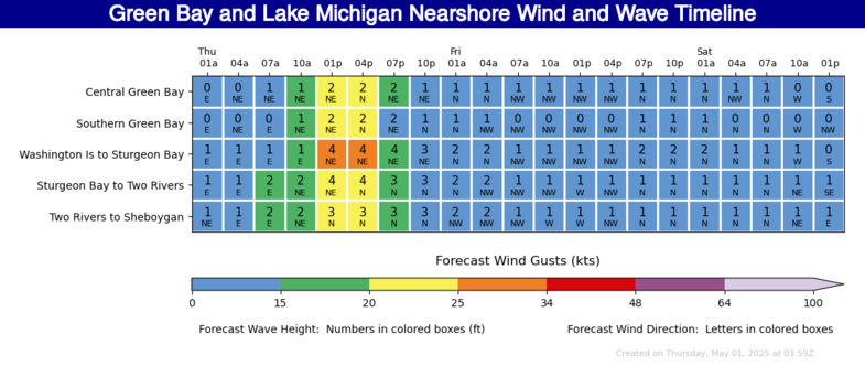
Marine: South winds will increase to 30 knots today, then shift to the west late Wednesday night into Thursday. A few gusts to 35 knots are possible. The winds will build waves to 4 to 7 feet on Lake Michigan this morning and 3 to 6 feet on Green Bay tonight. Make sure you follow the forecast and have a way to get the latest weather information, including any watches or warnings. If you are planning outdoor activities on land or water in the risk area, have alternate plans in place, including knowing where the nearest sturdy shelter is, in the event severe weather threatens your area.
Please click on the tabs below for more information. Click on any image for a larger view. |
|
  |
|
Latest Watches & Warnings
|
|
 Current Watches, Warnings, & Advisories Current Watches, Warnings, & Advisories |
|
 National Hazards Map (click map for more info) National Hazards Map (click map for more info) |
 Current Convective Watches Current Convective Watches |
Rainfall Forecasts / Flooding
|
|
 WPC Rainfall Forecast Day 2 (more info) WPC Rainfall Forecast Day 2 (more info) |
 WPC Rainfall Forecast Day 3 (more info) WPC Rainfall Forecast Day 3 (more info) |
 WPC Rainfall Forecast Days 1-3 (more info) WPC Rainfall Forecast Days 1-3 (more info) |
 WPC Excessive Rainfall Day 1 (discussion) WPC Excessive Rainfall Day 1 (discussion) |
 WPC Excessive Rainfall Day 2 (discussion) WPC Excessive Rainfall Day 2 (discussion) |
 WPC Excessive Rainfall Day 3 (discussion) WPC Excessive Rainfall Day 3 (discussion) |
 WPC Mesoscale Precip Discussions (more info) WPC Mesoscale Precip Discussions (more info) |
|
SPC Outlooks
 Day 1 (discussion) Day 1 (discussion) |
 Day 1 Tornado Probabilities Day 1 Tornado Probabilities |
 Day 1 Hail Probabilities Day 1 Hail Probabilities |
 Day 1 Wind Probabilities Day 1 Wind Probabilities |
 Day 2 (discussion) Day 2 (discussion) |
 Day 2 Probabilities Day 2 Probabilities |
 Day 3 (discussion) Day 3 (discussion) |
 Day 3 Probabilities Day 3 Probabilities |
 Mesoscale Discussions (more info) Mesoscale Discussions (more info) |
 Severe Storm Risk Categories Severe Storm Risk Categories |
|
|
|
|
|
|
|
|
Other Forecast Tools:
|
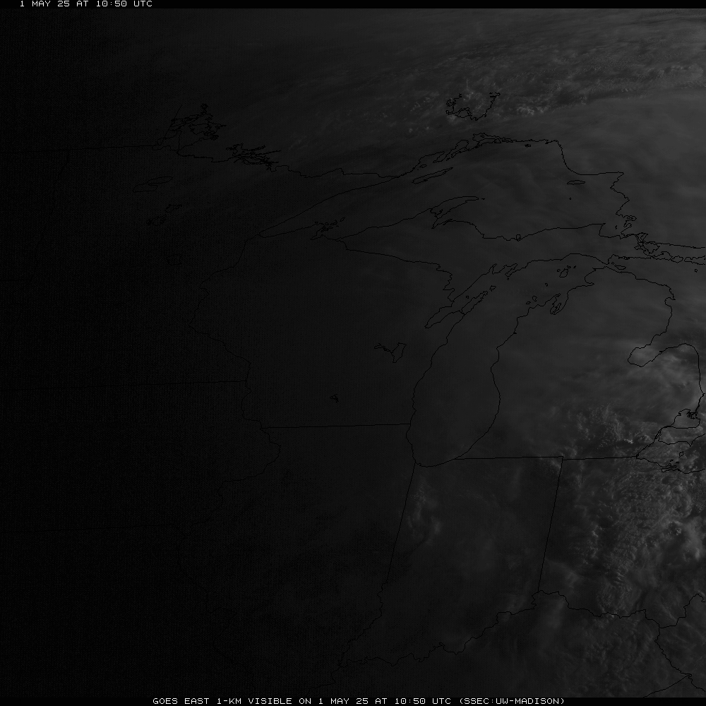
Radar & Satellite
| Radar Data | ||
 |
|
|
|
|
||
    |
||
| Satellite Imagery | ||
|
Visible (Click here for LOOP) |
|
|
Severe Weather Reports
|
Today's Storm Reports |
Yesterday's Storm Reports |
 |
Media use of NWS Web News Stories is encouraged! Please acknowledge the NWS as the source of any news information accessed from this site. |
|


 "
"