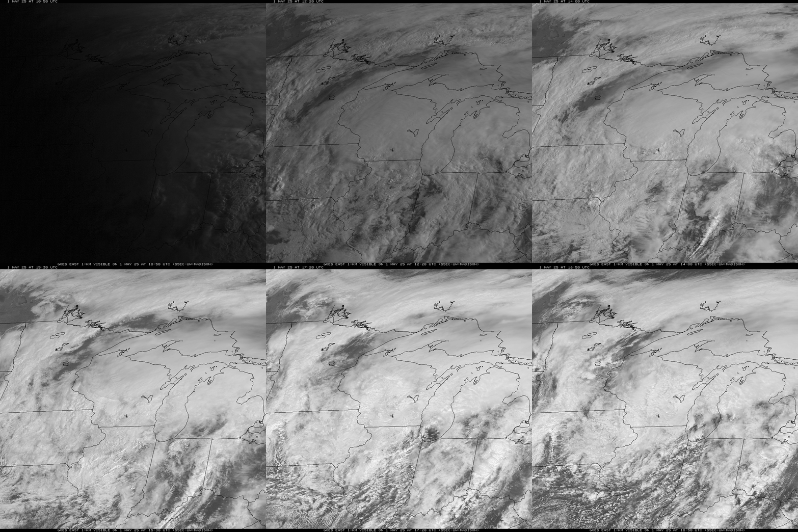
Winter Storm Ending This Morning
|
What: A winter storm will end from west to east across the area this morning. North to northwest winds gusting to 30 to 45 mph will create areas of blowing and drifting snow, especially across western and northern Wisconsin.
Impacts: Hazardous travel is expected. Travel may become extremely difficult into this morning, especially in the winter storm warning area. Motorists should expect snow covered and slippery roads and bridges, and poor visibilities due to falling or blowing snow. Actions: Consider delaying your travel plans until road conditions improve this afternoon. If you must travel, remember to slow down, keep extra distance between vehicles, and allow extra time to reach your destination. In case of an emergency, keep an extra flashlight, food, blankets and water in your vehicle. See tabs below for more information. Click on any image for a larger view.
|
Snowfall Forecasts
|
Latest Snowfall Forecast |
For additional snowfall maps and information, please visit: |
Radar/Satellite
Click on image for more radar options. Be sure to "Reload/Refresh" to ensure you are looking at the most recent image.
|
Green Bay, WI |
Milwaukee, WI |
|
|
Duluth, MN |
Marquette, MI |
Minneapolis, MN |
Regional Radar Mosaics
 |
 |
Satellite Imagery
 |
|
| Visible/Infrared Loop |
|
|
|
  Geo Color Geo Color |
|
Snow / Road Reports
Click here for a list of storm reports:
|
Latest Snowfall Reports |
For the latest Wisconsin road conditions, visit: |
|
Weather Safety Information
| Winter Safety Info | ||
 |
 |
.png) |
|
|
|
|
 |
Media use of NWS Web News Stories is encouraged! Please acknowledge the NWS as the source of any news information accessed from this site. |
 |