Isolated heavy rainfall will continue through tonight across portions of central Texas, though some relief from the heavy rain is expected on Tuesday. Heat and humidity will remain in place across the Eastern U.S. and interior Northwest U.S. over the next few days with widespread moderate to major Heat Risk. Dangerous heat will build into the Desert Southwest Tuesday through Thursday. Read More >
Snow Ends This Evening, Then Getting Colder
|
WHAT: Mostly snow through the evening, a little light freezing drizzle possible.
WHEN: Through this evening, ending from southwest to northeast.
IMPACTS: Snow or ice-covered and slippery roads, bridges, and sidewalks. Visibility should improve as snow becomes light.
ACTIONS: Remember...TAKE IT SLOW in ICE and SNOW! Keep extra distance between vehicles and allow extra time to reach your destination. TEMPS: Temperatures will be falling quickly tonight, with lows ranging from -5 to 5 above zero. Wind chills late tonight and early Friday will range from -20 to -30.
See tabs below for more information. Click on any image for a larger view. |
Snowfall and Ice Forecasts
|
|
|
|
Snowfall Forecast |
Ice Accumulation Forecast |
|
|
|
Radar
 |
|
Snow / Road Reports
|
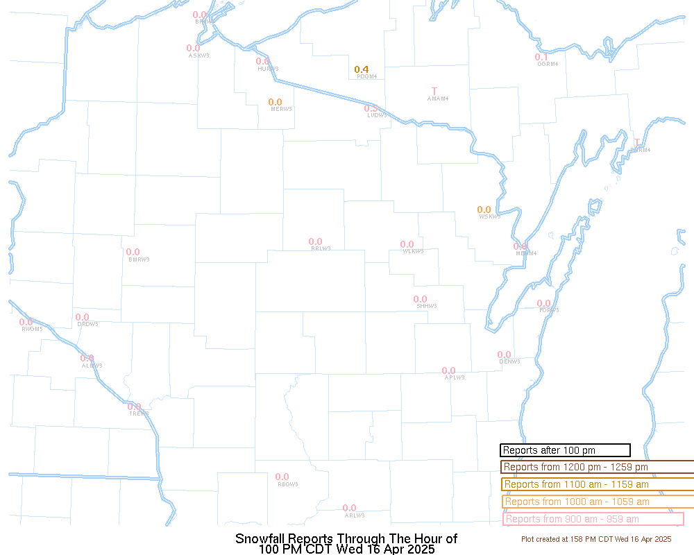
Latest Snowfall Reports |
For more snow and ice reports, please click HERE:
For the latest Wisconsin road conditions, visit: |
|
Weather Safety Information
| Winter Safety Info | ||
 |
 |
 |
 |
 |
 |
 |
Media use of NWS Web News Stories is encouraged! Please acknowledge the NWS as the source of any news information accessed from this site. |
|