
Thunderstorms, some severe, may produce heavy to excessive rainfall and isolated flooding over portions of the Southern Plains today and Saturday. Dry conditions, combined with gusty winds and low relative humidities will continue to support an elevated to critical fire weather threat in the Desert Southwest into to early next week. Read More >
Green Bay, WI
Weather Forecast Office
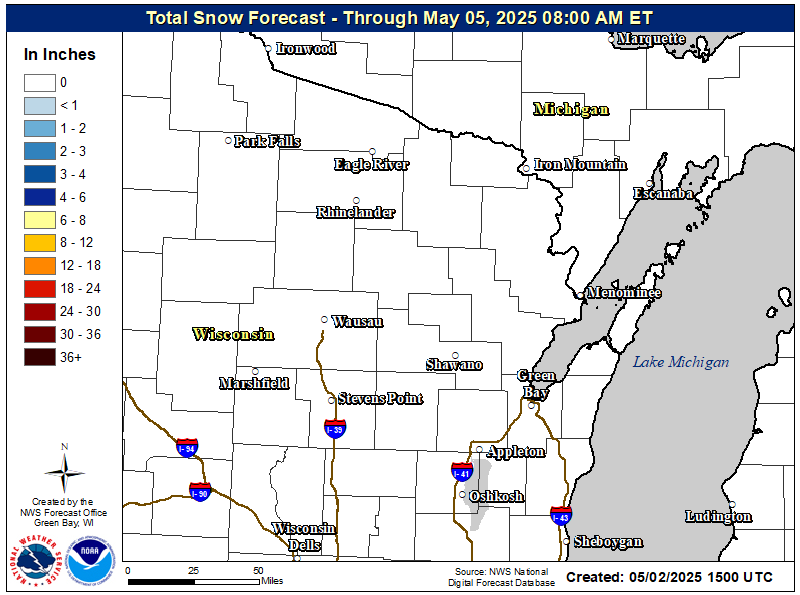
Active weather will continue to overspread the region tonight. Freezing drizzle and rain is likely to continue over the Fox Valley through late this evening, before seeing a chance for snow as temperatures continue to cool overnight. Northern and central Wisconsin are expected to see heavier snow accumulations as snow falls over the course tonight into Tuesday morning. The heaviest snowfall is expected to fall north of Highway 64, while areas to the south will see a wintry mix. This winter storm will continue to cause hazardous travel with slippery and snow covered roadways, along with low visibilities in areas of heavy snow. A winter storm warning is in effect for much of north-central Wisconsin for this system.
| Latest Snowfall Forecast (inches) - Click for larger view |
 |
| Current Watches, Warnings and Advisories - Click for larger view |
 |
| Latest Radar - Click for larger view | ||
|
Here are additional links to help monitor the storm:
US Dept of Commerce
National Oceanic and Atmospheric Administration
National Weather Service
Green Bay, WI
2485 South Point Road
Green Bay, WI 54313-5522
920-494-2363
Comments? Questions? Please Contact Us.


