Green Bay, WI
Weather Forecast Office
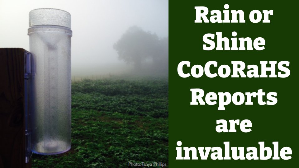
How heavy was the rainfall last night?
How much snow fell during the winter storm?
How bad is the drought this year?
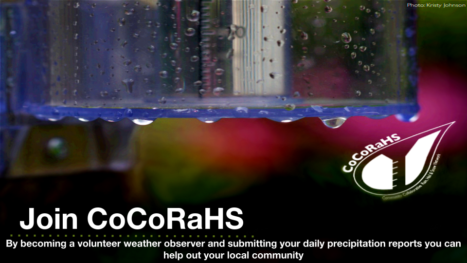
Join a group of volunteers across the nation who share precipitation measurements online, where it can be accessed for free by the public!
What is CoCoRaHS? https://www.youtube.com/watch?v=M5-sXXg9M30
The National Weather Service needs your help to monitor precipitation across the state. The key to improving weather forecasts is knowing what actually happened on the ground. By joining the Community Collaborative Rain, Hail and Snow Network (CoCoRaHS), you can provide crucial weather information to meteorologists, hydrologists, engineers, famers/ranchers, students, and everything in-between. Everyone can participate as a volunteer weather observer through CoCoRaHS. The only requirements are an enthusiasm for watching weather and reporting conditions, and a desire to learn more about how weather can affect and impact our lives (A standard 4 inch rain gauge is required for precipitation measurements).
View CoCoRaHS reports via an interactive map at: https://maps.cocorahs.org/
Sign up to watch and report weather conditions in your area!
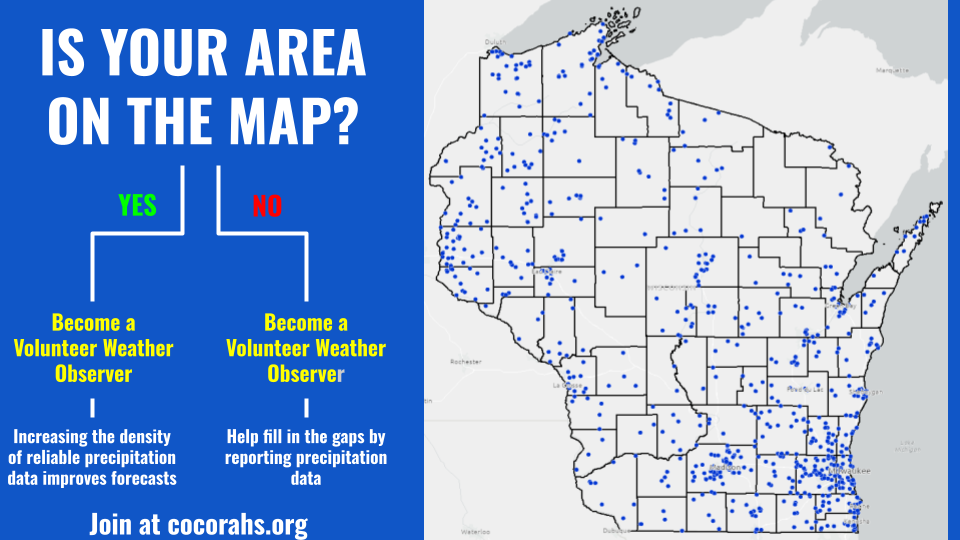
If you don't see a dot near your area on the map above then WE NEED YOU!
The data can be used to assess precipitation trends, support the agriculture community, and help water resource managers. The National Weather Service uses the data daily to create rainfall and snowfall maps, produce river forecasts, and assess flood risk. When there is a deficit in rain and snow, the daily observations of zero precipitation and condition monitoring reports go directly into the U.S. Drought Monitor. By joining the CoCoRaHS Network, you will be able to actively help Wisconsin get a more accurate forecast.
US Dept of Commerce
National Oceanic and Atmospheric Administration
National Weather Service
Green Bay, WI
2485 South Point Road
Green Bay, WI 54313-5522
920-494-2363
Comments? Questions? Please Contact Us.

