Green Bay, WI
Weather Forecast Office
Overview
|
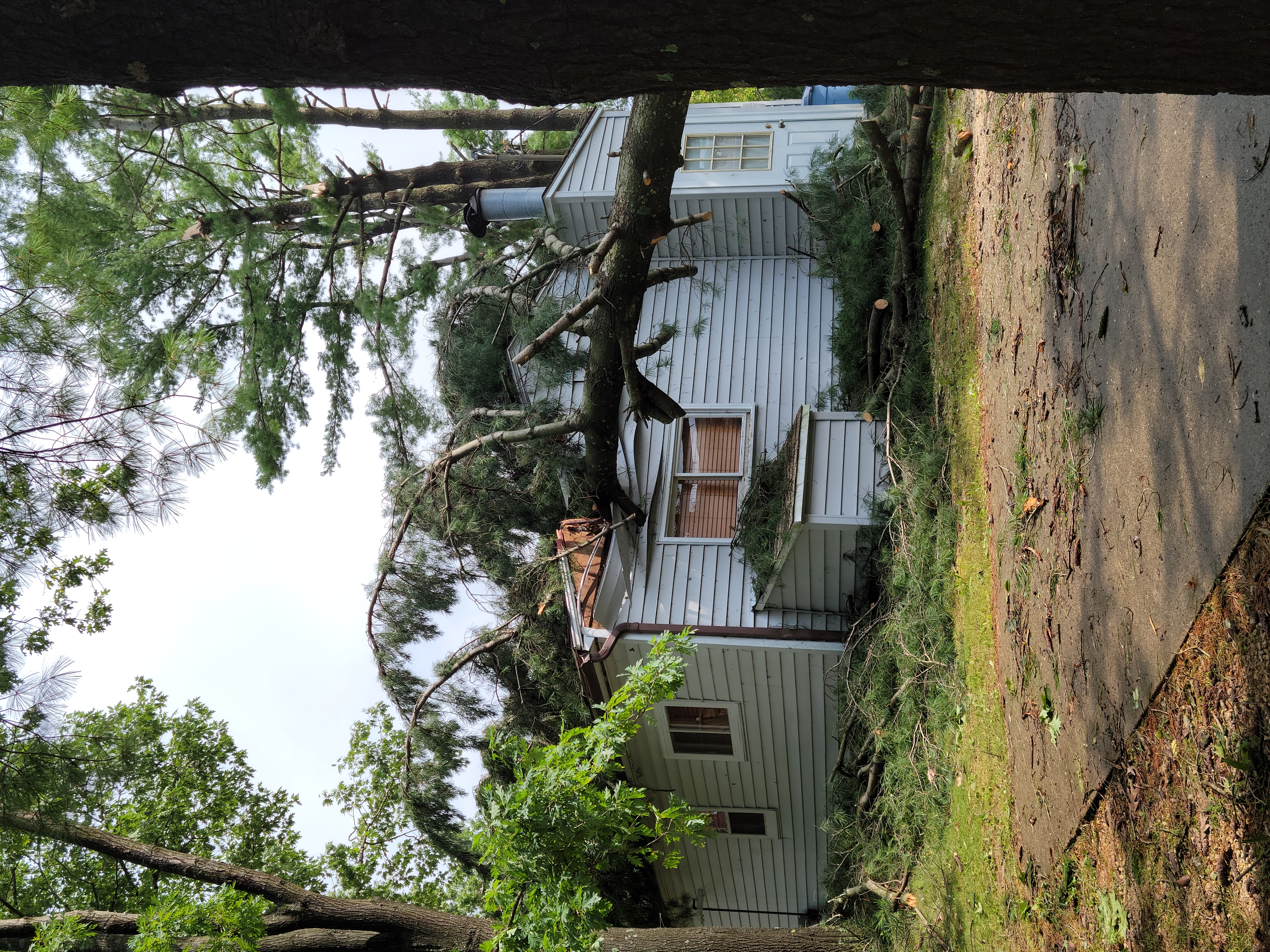
On the afternoon hours of Sunday, August 8, 2021, a line of showers and thunderstorms developed over central Wisconsin and moved northeastward across the state. Around 3:52 PM, an EF-1 tornado with maximum estimated wind speeds of 90 to 95 mph touched down in Waushara County near Pleasant Lake, and dissipated 1.3 miles WSW of Coloma. No injuries or fatalities were reported.
Please see the tabs below for more information. |
 Multiple trees down near Pleasant Lake (Waushara County) |
Tornadoes:
|
Tornado - SW of Coloma
Track Map   |
||||||||||||||||
The Enhanced Fujita (EF) Scale classifies tornadoes into the following categories:
| EF0 Weak 65-85 mph |
EF1 Moderate 86-110 mph |
EF2 Significant 111-135 mph |
EF3 Severe 136-165 mph |
EF4 Extreme 166-200 mph |
EF5 Catastrophic 200+ mph |
 |
|||||
Photos & Video
 |
 |
 |
 |
| EF-1 Tornado- Tree Uprooted (NWS Green Bay Damage Survey) |
EF-1 Tornado- Tree Uprooted (NWS Green Bay Damage Survey) |
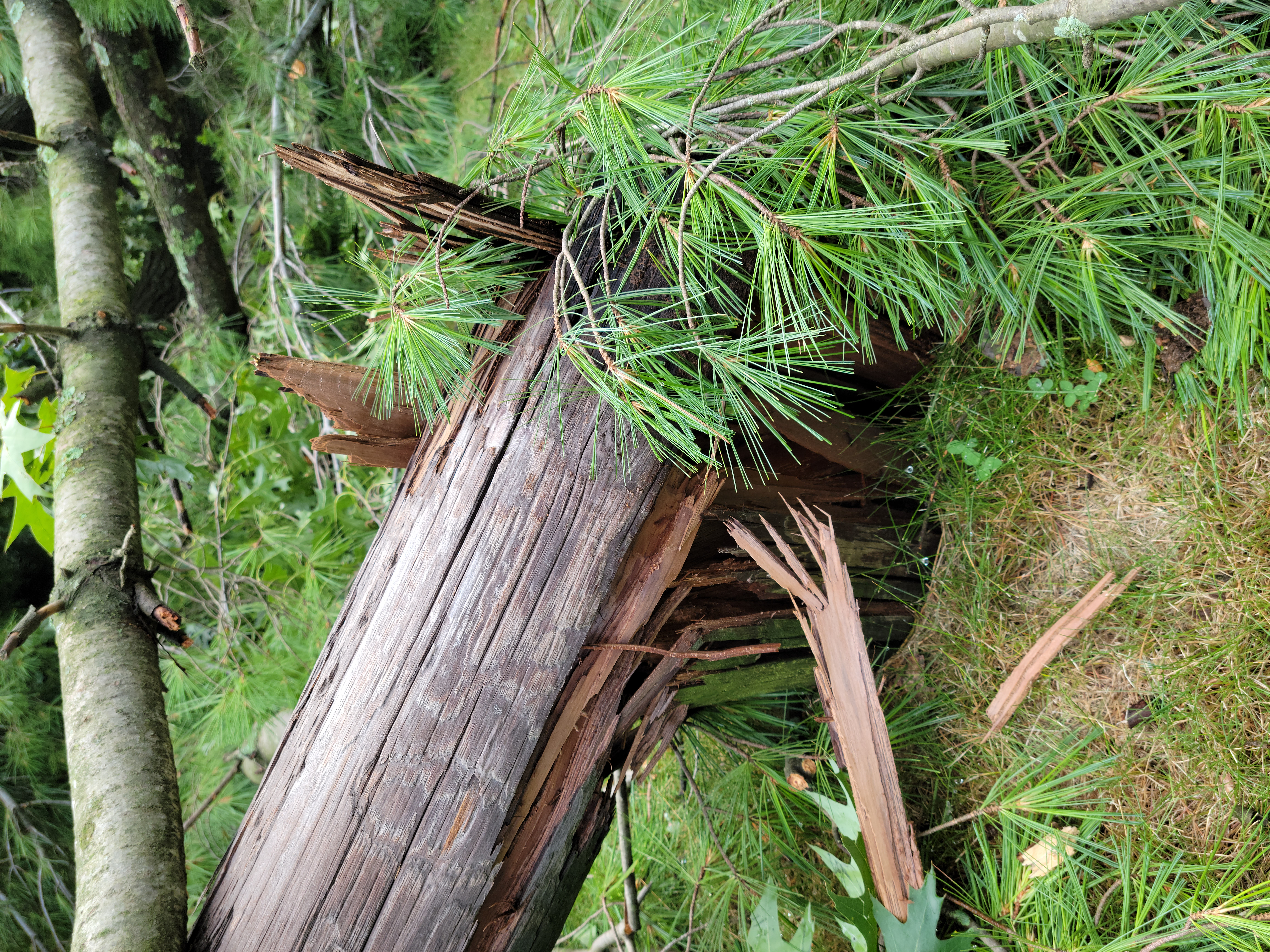
EF-1 Tornado- Tree Trunk Snapped (NWS Green Bay Damage Survey) |
EF-1 Tornado- Tree Trunk Snapped (NWS Green Bay Damage Survey) |
 |
Media use of NWS Web News Stories is encouraged! Please acknowledge the NWS as the source of any news information accessed from this site. |
 |
US Dept of Commerce
National Oceanic and Atmospheric Administration
National Weather Service
Green Bay, WI
2485 South Point Road
Green Bay, WI 54313-5522
920-494-2363
Comments? Questions? Please Contact Us.

