National Weather Service United States Department of Commerce

Heavy Rain From the Central Plains to the Mid-Atlantic; Heat Wave Begins This Weekend

Strong to severe thunderstorms and heavy rain will impact portions of the central Plains into the Upper Midwest and the Mid-Atlantic through the weekend. A stretch of unusually hot and humid weather is expected across portions of the central U.S. and the Southeast beginning this weekend and continuing through next week. The heat may reach dangerous levels, particularly mid to late next week. Read More >

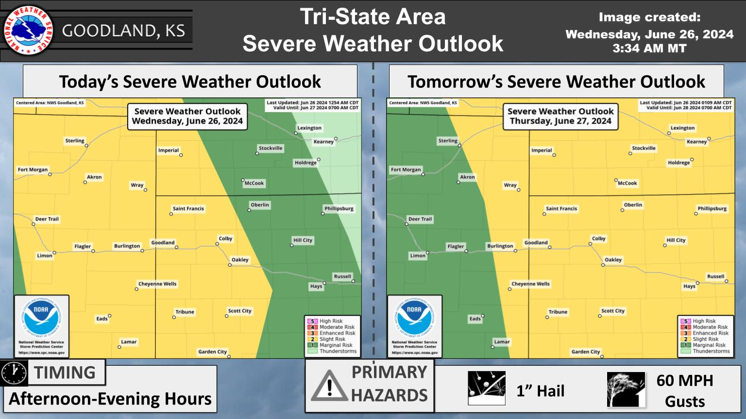
Severe storms are expected to develop in eastern CO late Sat afternoon and move through the Tri-State area tomorrow evening into tomorrow night. Initial storms could produce large hail over golf ball size and damaging winds up to 70 mph. As storms merge, wind will become the primary threat with gusts up to 80 mph possible. A land spout or two is not out of the question early in CO.
Fog and stratus this morning is forecast to move out from west to east through the morning; as the clouds break a period of wind gusts around 25-30 mph are possible before waning through the afternoon. Warm temperatures are currently forecast for Saturday and Sunday with shower and storm chances each day; severe weather may be possible.