National Weather Service United States Department of Commerce

Severe Thunderstorms and Heavy Rain in the Southern Plains; Fire Weather Threat in the Southwest U.S.

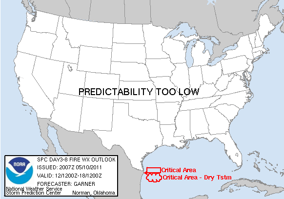
Thunderstorms, some severe, may produce heavy to excessive rainfall and isolated flooding over portions of the Southern Plains today and Saturday. Dry conditions, combined with gusty winds and low relative humidities will continue to support an elevated to critical fire weather threat in the Desert Southwest into to early next week. Read More >

  Thunder  |  Flooding  |  Fire  Lightning  Drought  |  Winter

 OUTLOOKS


Hazardous Weather Outlook          (click for Full Text)

996
FLUS45 KGJT 250903
HWOGJT

Hazardous Weather Outlook
National Weather Service Grand Junction CO
303 AM MDT Fri Apr 25 2025

COZ001>014-017>023-UTZ022>025-027>029-261230-
Lower Yampa River Basin-Central Yampa River Basin-
Roan and Tavaputs Plateaus-Elkhead and Park Mountains-
Upper Yampa River Basin-Grand Valley-Debeque to Silt Corridor-
Central Colorado River Basin-Grand and Battlement Mesas-
Gore and Elk Mountains/Central Mountain Valleys-
Central Gunnison and Uncompahgre River Basin-
West Elk and Sawatch Mountains-Flat Tops-Upper Gunnison River Valley-
Uncompahgre Plateau and Dallas Divide-Northwest San Juan Mountains-
Southwest San Juan Mountains-Paradox Valley/Lower Dolores River-
Four Corners/Upper Dolores River-Animas River Basin-
San Juan River Basin-Southeast Utah-Eastern Uinta Mountains-
Eastern Uinta Basin-Tavaputs Plateau-Arches/Grand Flat-
La Sal and Abajo Mountains-Canyonlands/Natural Bridges-
303 AM MDT Fri Apr 25 2025

This Hazardous Weather Outlook is for northwest Colorado, southwest
Colorado, west central Colorado, east central Utah, northeast Utah
and southeast Utah.

.DAY ONE...Today and tonight.

Gusty winds of 25 to 35mph, possibly higher at times, will affect
most of the area today. These winds, along with low humidities and
critical fuels, will create critical fire weather conditions so Red
Flag Warnings have been issued for portions of central and southern
Colorado.

.DAYS TWO THROUGH SEVEN...Saturday through Thursday.

Gusty winds continue Saturday and Sunday and with dry air still in
plaque, critical fire weather conditions will continue. A Red Flag
Warning has been issued Saturday with a Fire Weather Watch in place
on Sunday.

.SPOTTER INFORMATION STATEMENT...

Spotter activation is not expected.

$$


Thunderstorm Outlook From The Storm Prediction Center

Watches
Current Severe Weather Watches
Mesoscale Discussion
Mesoscale discussion
Day 1 Outlook
Day 1 outlook
Day 2 Outlook
Day 2 outlook
Day 3 Outlook
Day 3 outlook
Day 4-8 Outlook
Day 4-8 convective outlook
Flooding / Rainfall Outlook
Day 1 Outlook
Day 1 Excessive Rain Outlook
Day 2 Outlook
Day 2 Excessive Rain Outlook
Day 3 Outlook
Day 3 Excessive rain outlook
Day 1 Rain
Day 1 rainfall outlook
Day 2 Rain
Day 2 rainfall outlook
Day 3 Rain
Day 3 rainfall outlook
Fire Weather
Day 1
Day 1 Fire Outlook
Day 2
Day 2 Fire Weather Outlook
Day 3
Day 3 Fire Weather Outlook
Lightning Potential Index    (Generated by GJT NWS)


Click to see the Lightning Potential Index


Drought
Weekly Drought Monitor
Weekly Drought Assessment
Seasonal Outlook
Seasonal Drought outlook
                               
Winter Weather
Day 1 Snow
Day 1 snowfall outlook

Day 2 Snow
Day 2 snowfall outlook

Day 3 Snow
Day 3 snowfall outlook
 
 
Day 1 Ice 
Day 1 ice outlook
Day 2 Ice 
Day 2 ice outlook
Day 3 Ice 
Day 3 ice outlook