Grand Junction, CO
Weather Forecast Office
Flood Watches and Warnings
Flooding can be a major problem in Colorado. River flooding can result from heavy rain during the spring and summer months and also from rapid snow melt or thunderstorm rain combining with runoff from melting snow.
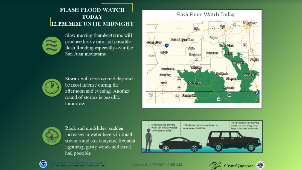
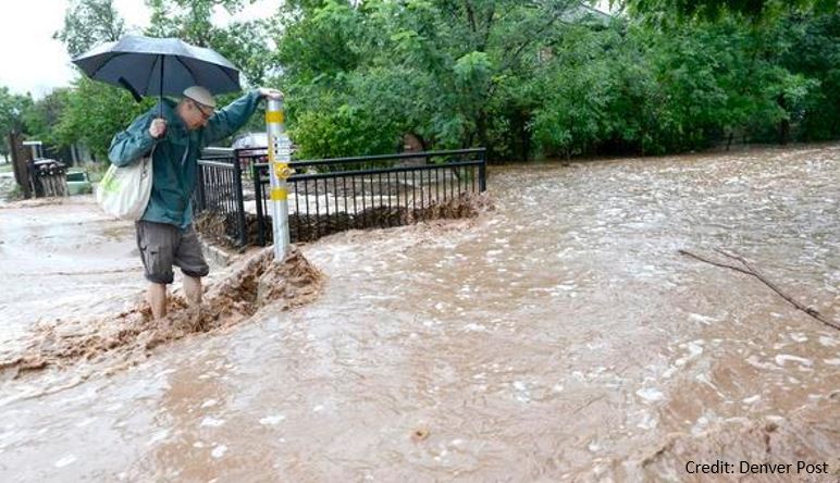
Flash flooding, on the other hand, refers to a dangerous, sudden rise in water in an urban area, a canyon, or along a creek or wash over a normally dry land area. Flash floods can result from heavy rainfall, sudden breaks in ice jams, and dam or levee failures.
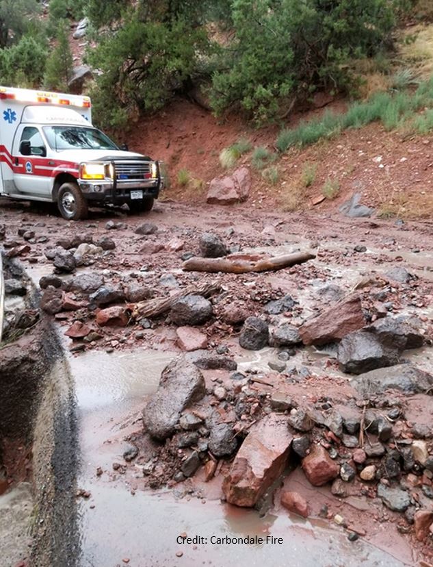
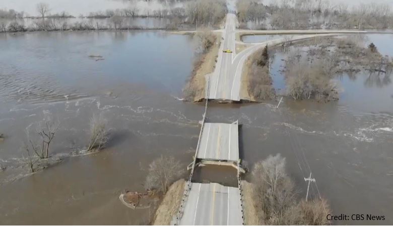
Flash floods can occur within a few minutes or hours and can move at surprisingly high speeds, striking with little warning. Flash floods can be quite destructive because of the force of the moving water and the debris that accumulates in flood waters. This debris could be trees or even boulders that can destroy roadways, bridges, and buildings.
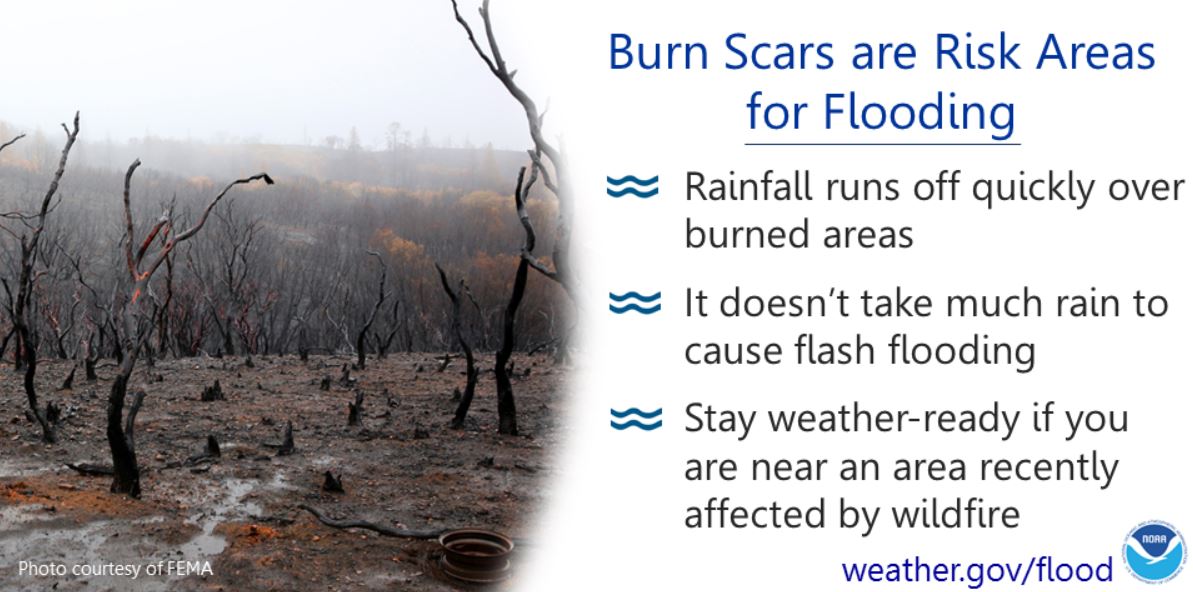
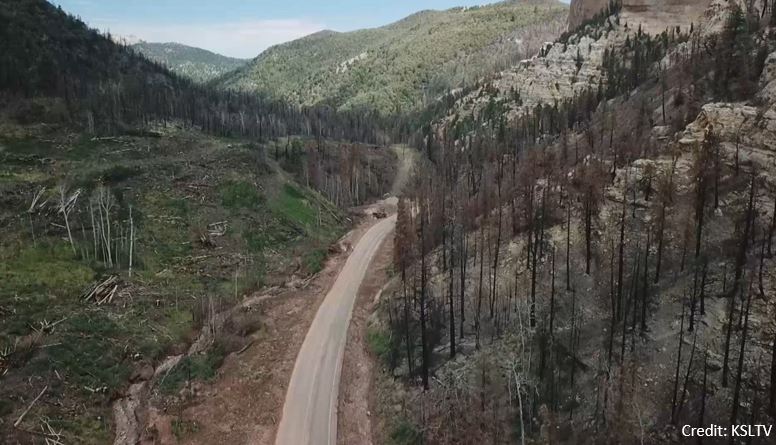
Another complication in Colorado is the serious flooding that can result when heavy rain falls on recently burned areas or burn scars. Anyone living downstream from a recently burned area should be aware of the increased threat of flash flooding. Heavy rain could result in much faster, turbulent debris and ash-clogged flows from that burned area.
The National Weather Service will discuss flood and flood potential in daily hazardous weather outlooks and in the graphical weather story on National Weather Service websites. We will also make social media posts about the potential and forecast on Facebook and Twitter. On days with a high threat for flooding, you may hear of a Flash Flood or Flood Watch which means that flash flooding or flooding is possible within the watch area.
Hazards
Detailed Hazards Viewer
National Briefing
Outlooks
Transportation Decision Support
Winter Storm Severity Index
Forecasts
Aviation Weather
Fire Weather
Forecast Discussion
Forecast Points
Local Area
Severe Weather
Soaring Forecast
Winter Weather
Hydrology
Recreational River Report
River Forecast
Weather Safety
Preparedness
NOAA Weather Radio
StormReady
SkyWarn
US Dept of Commerce
National Oceanic and Atmospheric Administration
National Weather Service
Grand Junction, CO
2844 Aviators Way
Grand Junction, CO 81506-8644
970-243-7007
Comments? Questions? Please Contact Us.


