
Tropical Depression Two is expected to gradually strengthen and could bring tropical storm conditions to the Florida Panhandle beginning late Monday. Areas of flash flooding will be possible through Thursday along the eastern and central Gulf Coast. Severe thunderstorms will develop and move along a cold front crossing the Upper Midwest Monday, and through the Ohio Valley/Mid-Atlantic on Tuesday. Read More >
Grand Junction, CO
Weather Forecast Office
Are you planning an outdoor activity within the next few days? If so, and if thunderstorms are in the forecast, then you should try to determine the expected potential for lightning that could threaten you and others. Paying attention to the latest forecast and being flexible to change your plans to stay safe from lightning is always a good action to take.
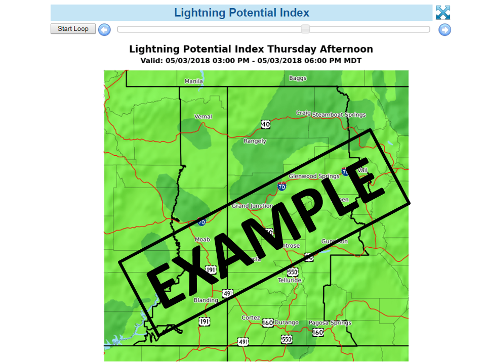
To help you stay safe from lightning threats, the Lightning Potential Index (LPI) was developed by the National Weather Service as a planning tool. The experimental LPI is routinely generated for areas of western Colorado and eastern Utah that shows you where and when cloud-to-ground lighting is expected out to 60 hours into the future. More specifically, the LPI provides lightning expectations in three-hour increments and is updated every 3 hours to give you the very latest forecast information.
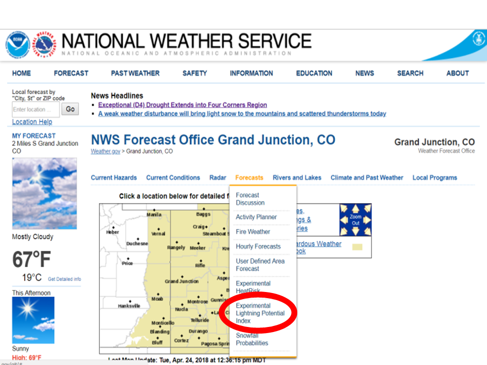
You can find the Lightning Potential Index forecasts from the “Forecasts” drop-down menu on the National Weather Service’s Grand Junction Forecast Office website, as shown below.
Please check it out and let us know how the LPI works for you! Comments can be provided to our forecast office email address: wxgjt@noaa.gov
![]()
Click here for the latest Lightning Potential Index forecasts.

Hazards
Detailed Hazards Viewer
National Briefing
Outlooks
Transportation Decision Support
Winter Storm Severity Index
Forecasts
Aviation Weather
Fire Weather
Forecast Discussion
Forecast Points
Local Area
Severe Weather
Soaring Forecast
Winter Weather
Hydrology
Recreational River Report
River Forecast
Weather Safety
Preparedness
NOAA Weather Radio
StormReady
SkyWarn
US Dept of Commerce
National Oceanic and Atmospheric Administration
National Weather Service
Grand Junction, CO
2844 Aviators Way
Grand Junction, CO 81506-8644
970-243-7007
Comments? Questions? Please Contact Us.

