Overview
|
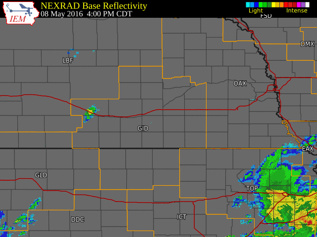
Between the afternoon hours of Sunday the 8th and the early morning hours of Monday the 9th, severe thunderstorms pounded mainly western and southern portions of the |
|
Tornado Information:
|
|
||||||||||
|
||||||||||
|
South of Codell, KS
Track Map 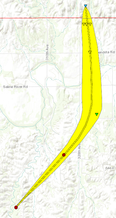 
Downloadable KMZ File |
||||||||||||||||
|
Near Codell, KS
Track Map 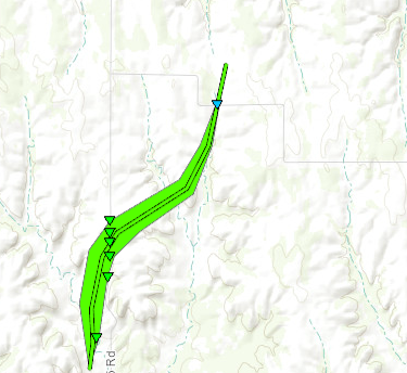
Downloadable KMZ File |
||||||||||||||||
 |
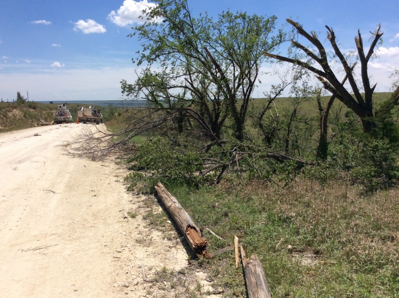 |
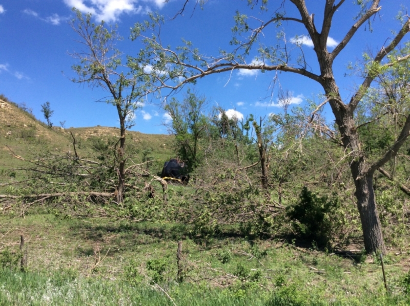
| Tree and power pole damage near Codell, KS. Photos from NWS Storm Survey. | |
The Enhanced Fujita (EF) Scale classifies tornadoes into the following categories:
| EF0 Weak 65-85 mph |
EF1 Moderate 86-110 mph |
EF2 Significant 111-135 mph |
EF3 Severe 136-165 mph |
EF4 Extreme 166-200 mph |
EF5 Catastrophic 200+ mph |
 |
|||||
Photos:
 |
 |
 |
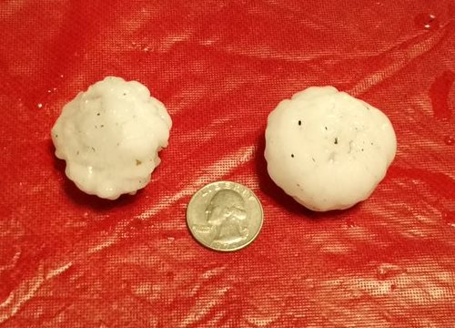
| Hail 8 miles north-northeast of Natoma, KS. Photo courtesy of Dale Beisner. |
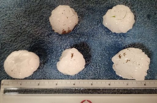
Hail in Cozad. Photo courtesy of Tonya Propp. |
|
 |
 |
 |
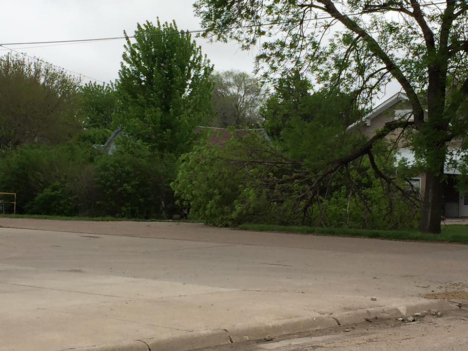
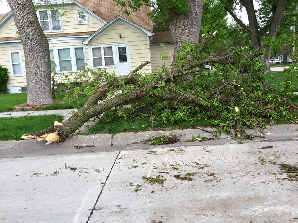
| Tree Damage in Minden. Photo courtesy of NTV News. |
Lightning over Chester. Photo courtesy of Art Whitton. |
|
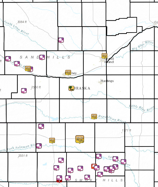
Storm Reports
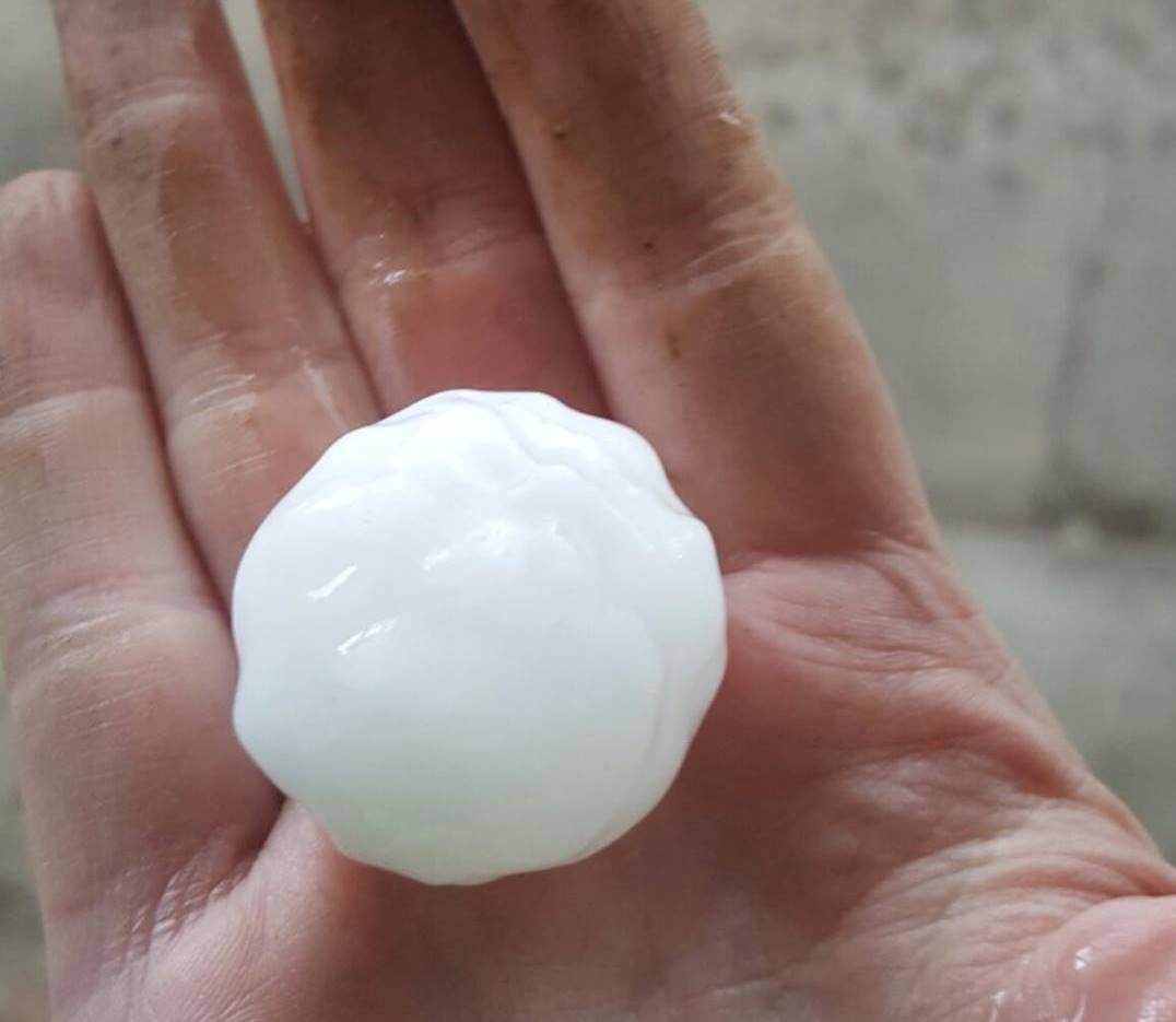
The majority of the reports received at the NWS Hastings office came in the form of hail, ranging anywhere from the size of dimes to hen eggs. The few wind reports there were generally ranged from 45 to 55 MPH, with the exception being in the Minden and Red Cloud areas. In Minden, strong winds snapped 2 large tree limbs, while in Red Cloud, wind gusts estimated near 75 MPH uprooted several trees at the local golf course.
Below is a list of the higher hail reports:
Click the image below for more detailed information regarding severe weather reports from the area.
 |
 |
Media use of NWS Web News Stories is encouraged! Please acknowledge the NWS as the source of any news information accessed from this site. |
|