
Scattered severe thunderstorms capable of damaging wind gusts and some hail are expected this afternoon and evening from the Upper Ohio River Valley into the Northeast, and from the Appalachians into the Mid-Atlantic States. Excessive rainfall from heavy thunderstorms may produce areas of flash flooding from southern New Mexico into the western and northern Gulf Coast into Wednesday. Read More >
 |
 |
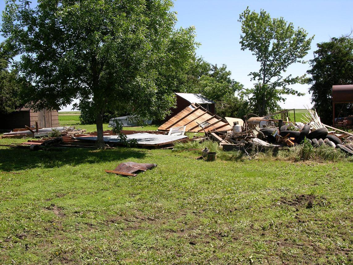
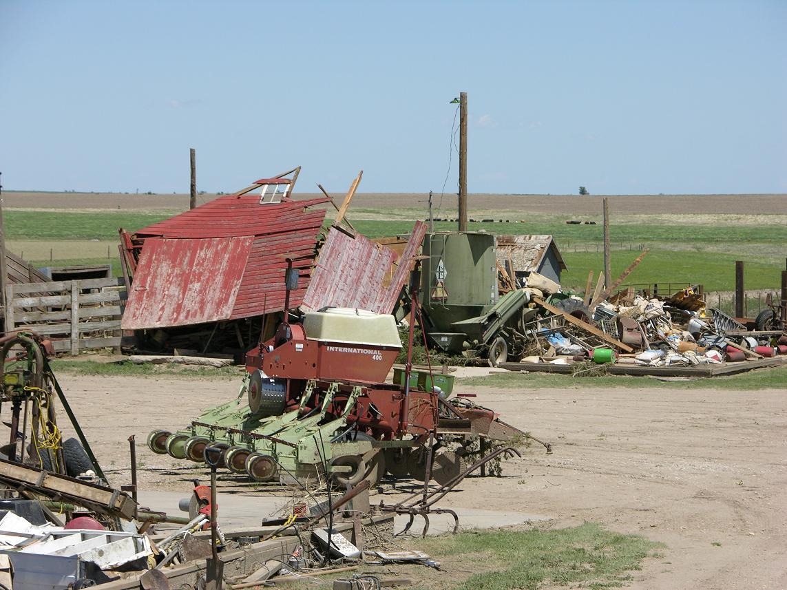
| Somewhat typical damage noted from the storms as weaker structures (such as barns and garages) were destroyed while stronger structures (like the house on the left) were spared. This is indicative of a weaker tornado. | A destroyed storage barn along with heavy farm equipment tossed about like a toy. |
 |
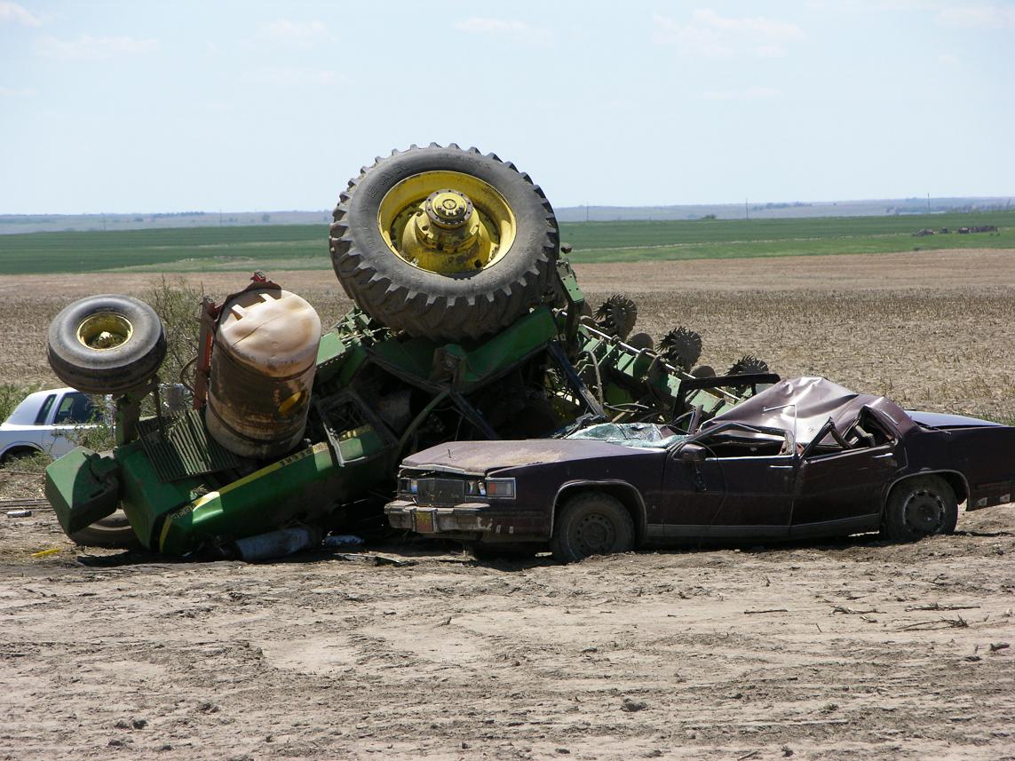 |
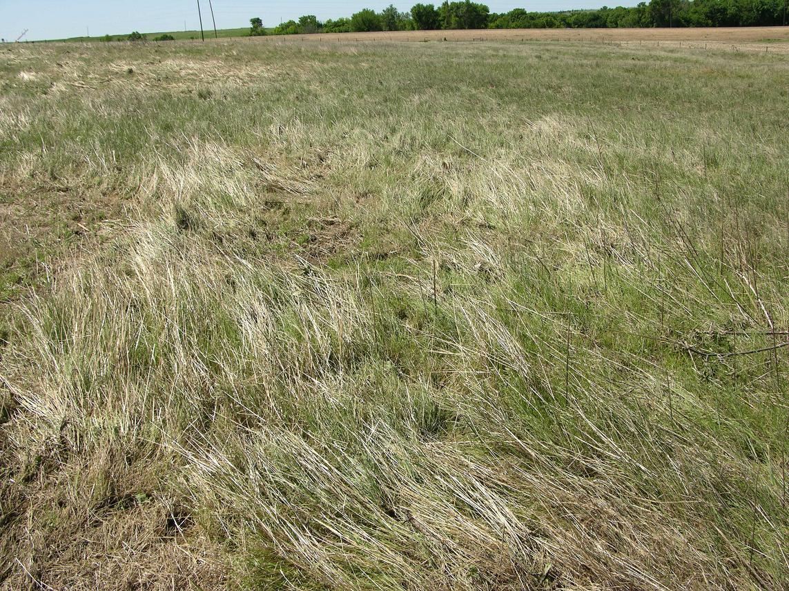
| Wind-blown and damaged grass is often a sign of a tornado's path. Here, the grass has been pressed harshly to the ground. | A large farm tractor was picked up by the tornadic winds and hurled on top of an unfortunate vehicle. |
 |
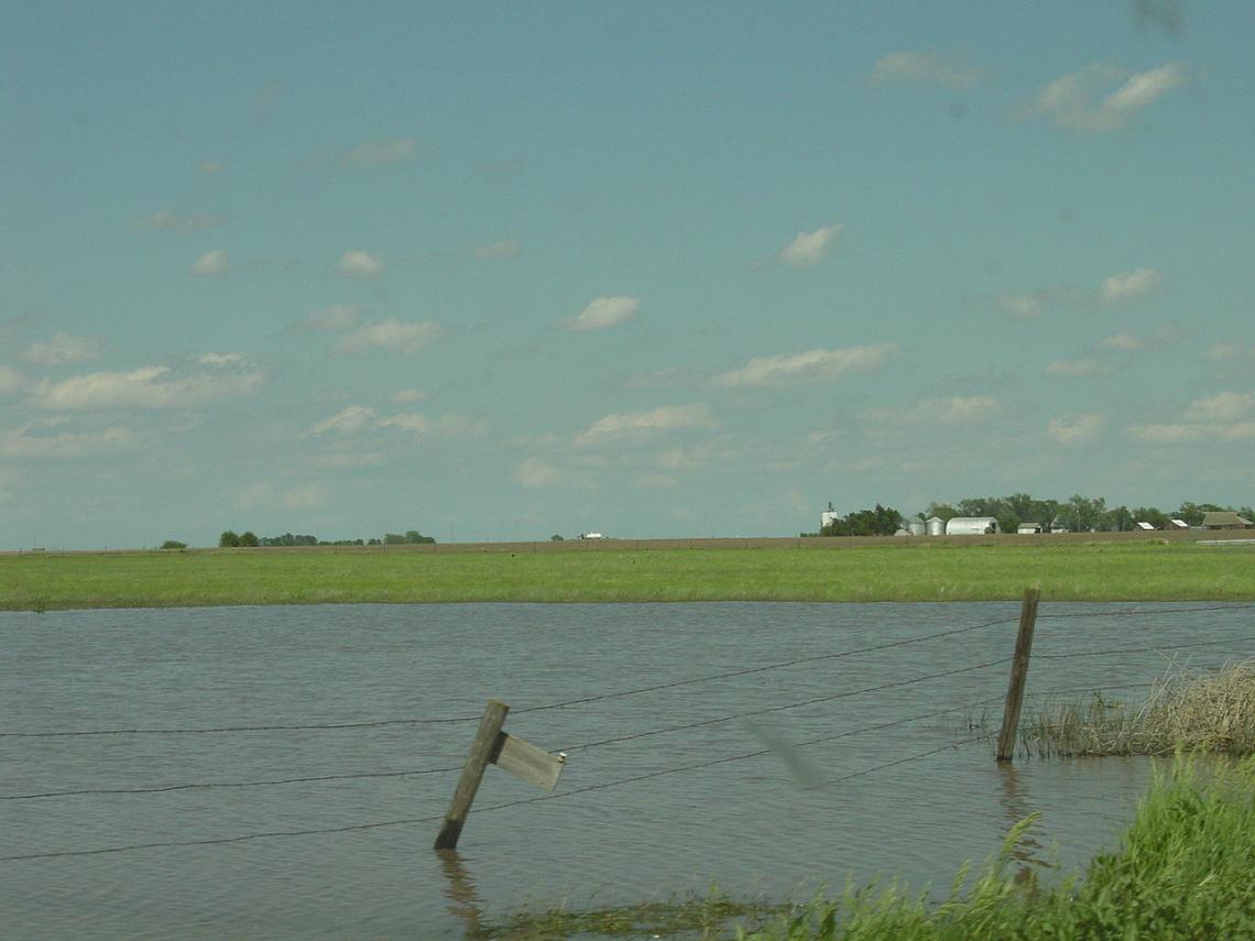 |
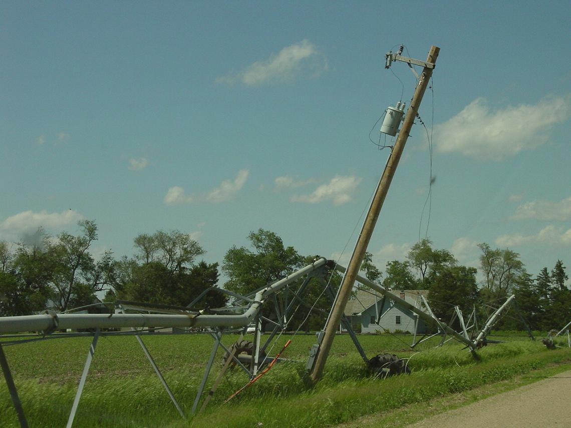
| Electrical pole damage from a pivot irrigation system in Clay County. Several instances were noted where pivots were wrapped around electrical poles. | Several of the thunderstorms which moved across the area were high precipitation supercells, simply meaning that the storm is essentially loaded with precipitation. As such, very heavy rainfall often accompanies these storms. Several areas of flooding were observed from the heavy rainfall, even the day after the storms. |
 |
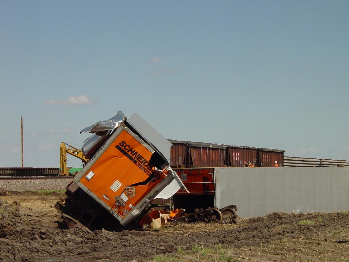 |
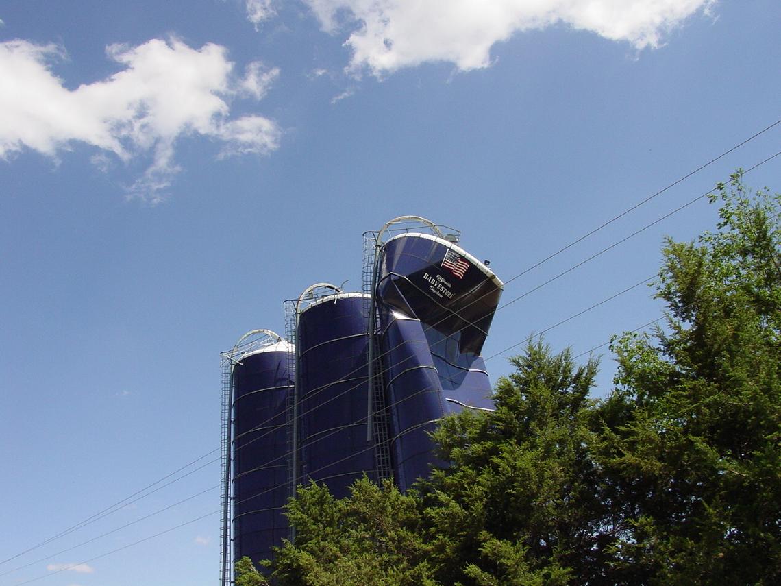
| Numerous grain silos and bins were destroyed or severely damaged by the storms. In this picture from south-central Clay County, a large silo shows heavy damage from strong winds just above the surface, possibly from the rear-flank downdraft of the storm. | A freight train was derailed by the strong winds in central Clay County, not far from the town of Fairfield. |
 |
 |
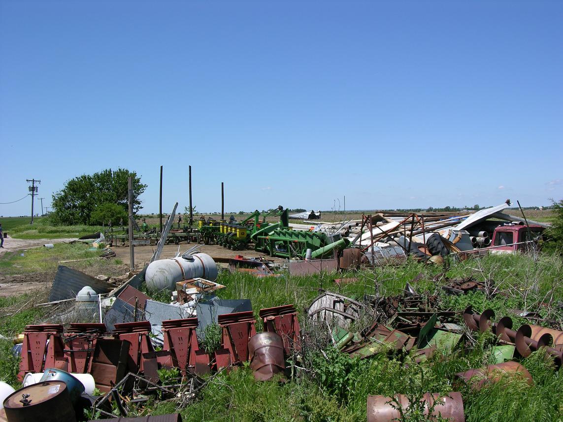
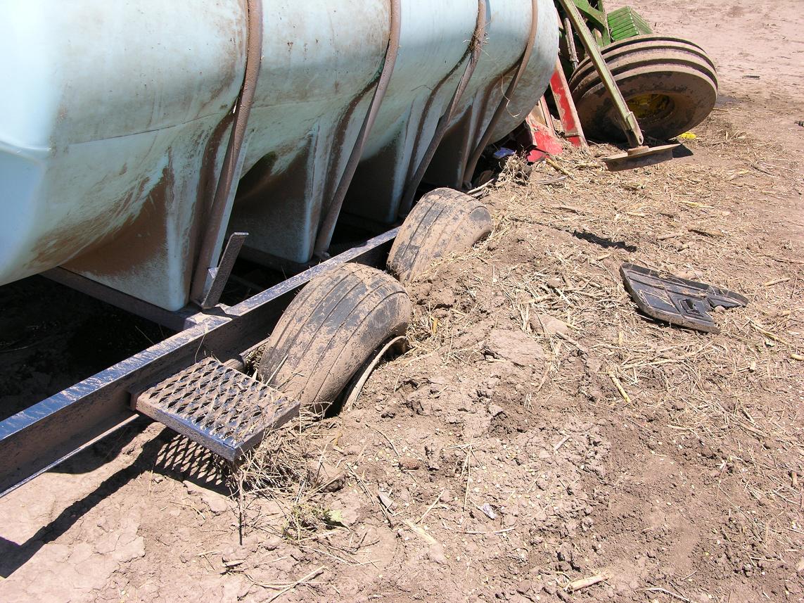
| This trailor was possibly picked up and pushed into the ground among other dirt and debris as the tornado moved through. | Because the tornadoes moved through mainly rural areas, much of the damage was confined to farmsteads. Here, a barn was destroyed with much of its contents piled up on one side of the yard. |
 |
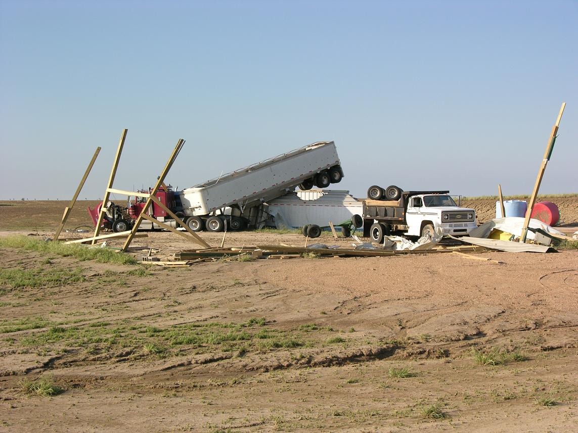 |
| Tornadoes are quite dangerous because of their ability to move objects at a very fast speed. A piece of wood from a house was literally driven into the ground by the force of the wind. | One good piece of advice usually given is to leave a vehicle if a tornado is approaching, and for good reason. Here, this tractor trailer was moved by the wind for some distance before the back end was lifted up and deposited on top of a storage facility. |
 |
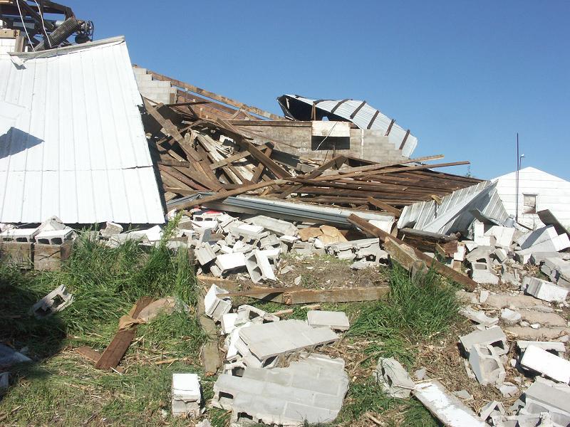 |
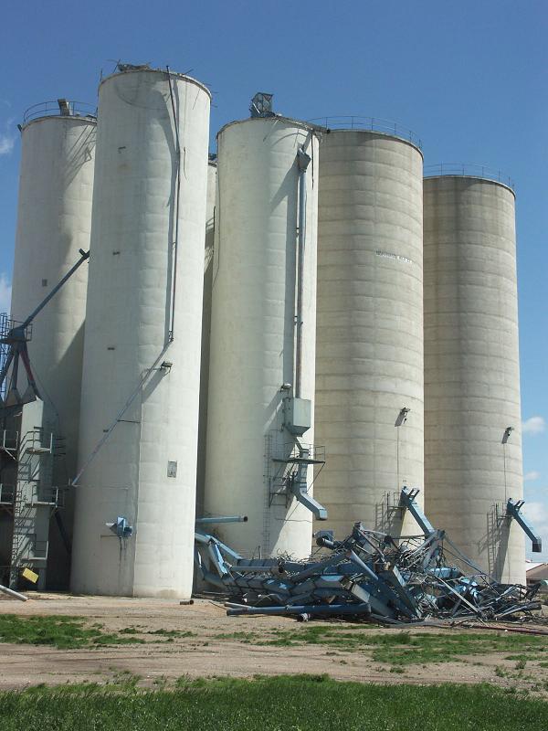
| All that is left of a grain elevator is a pile of twisted metal at the base of the silos. | Perhaps some of the worst of the damage, which occurred in Clay County. This garage was completely demolished as the tornado moved through the area. |

