Overview
|
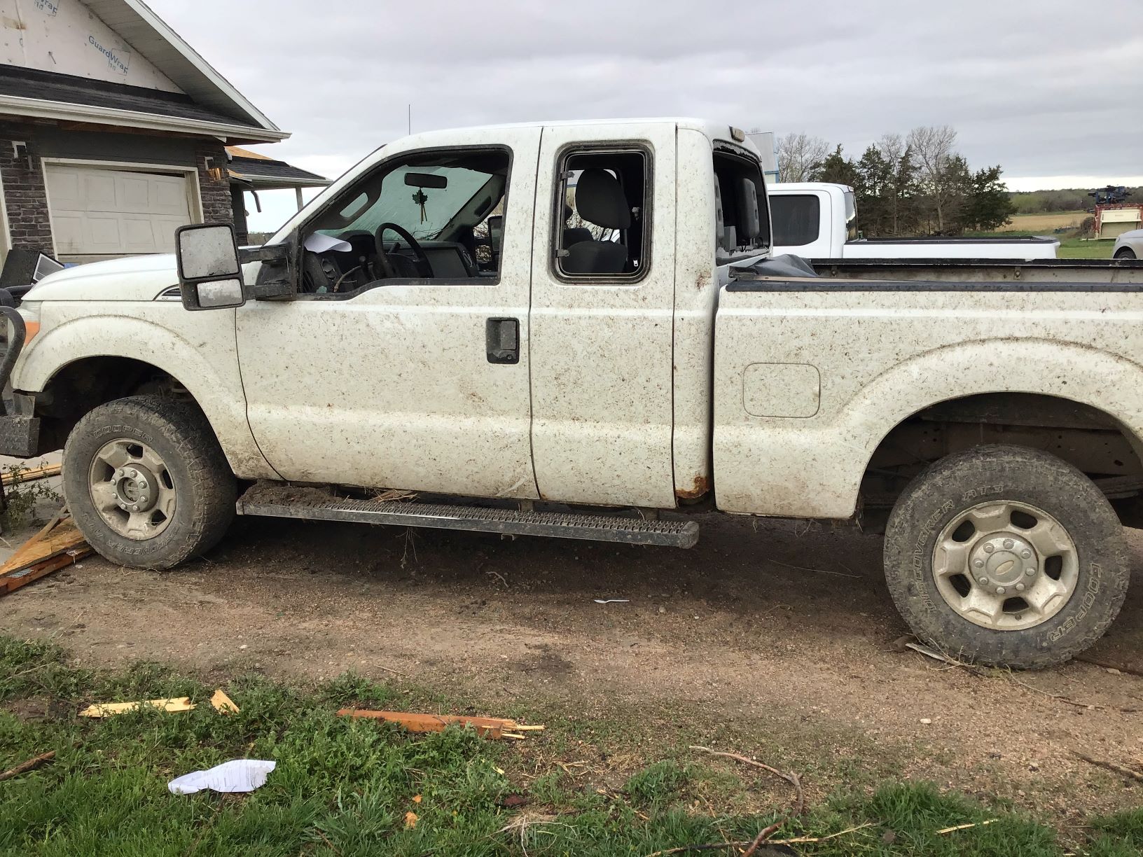
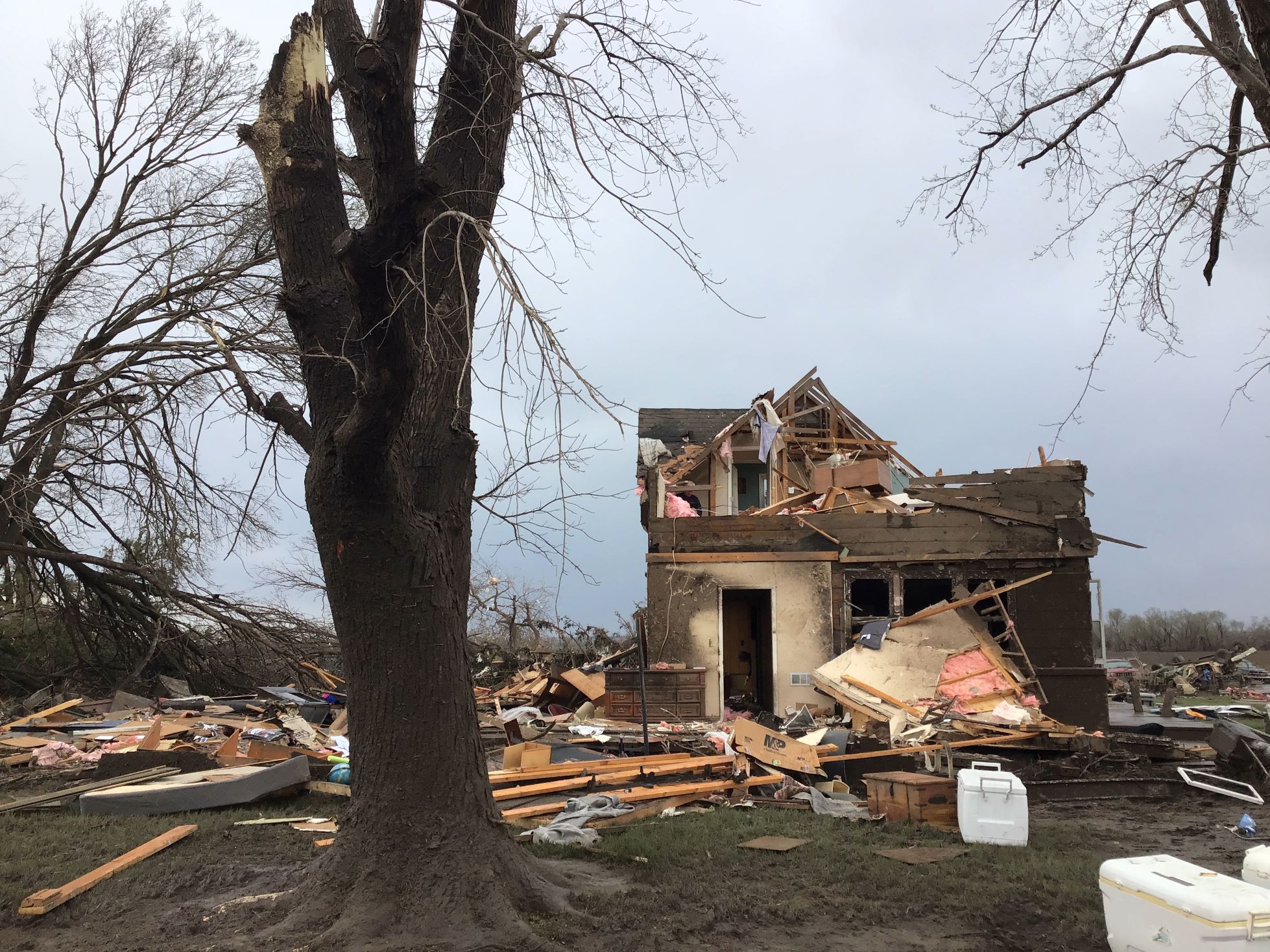
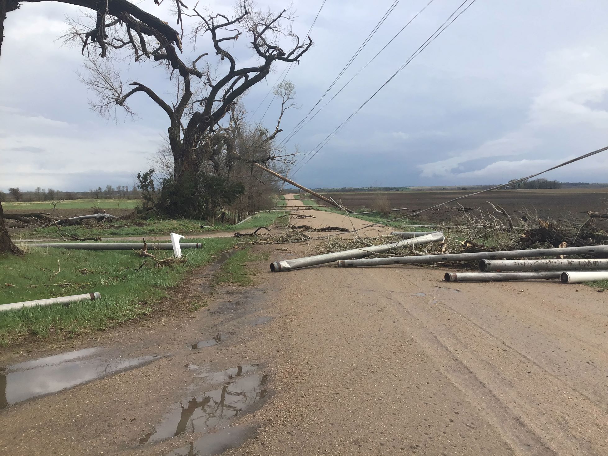
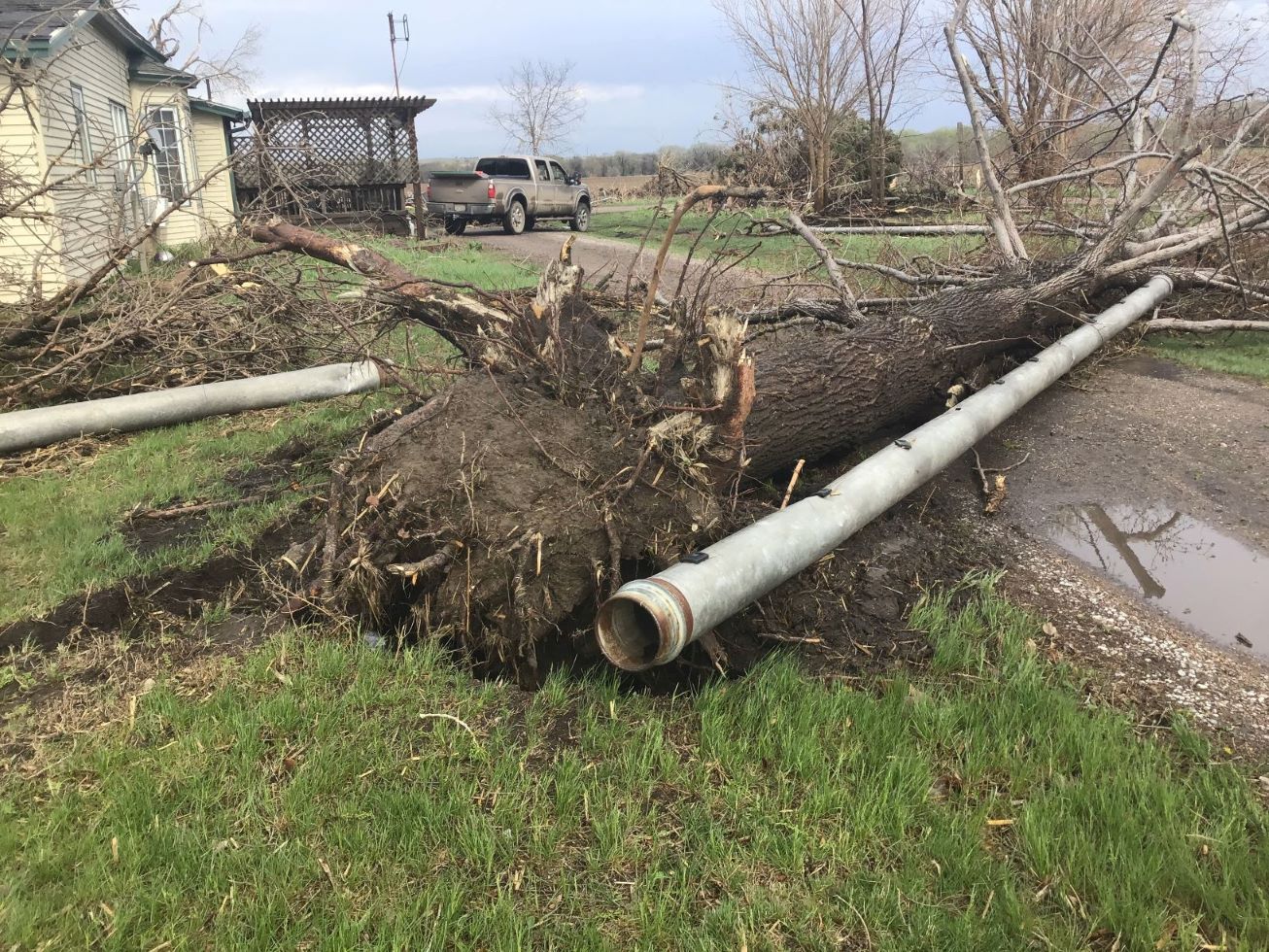
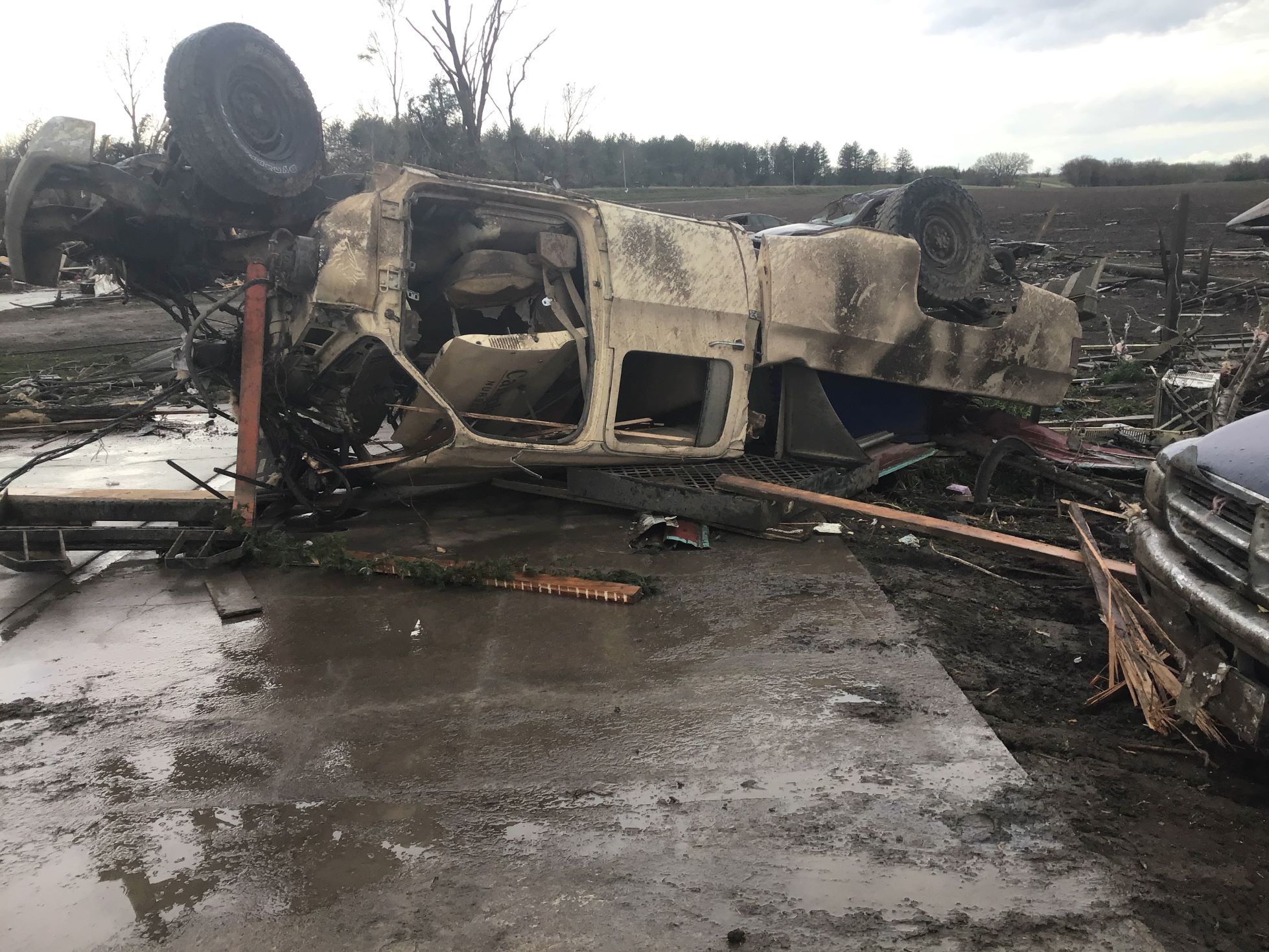
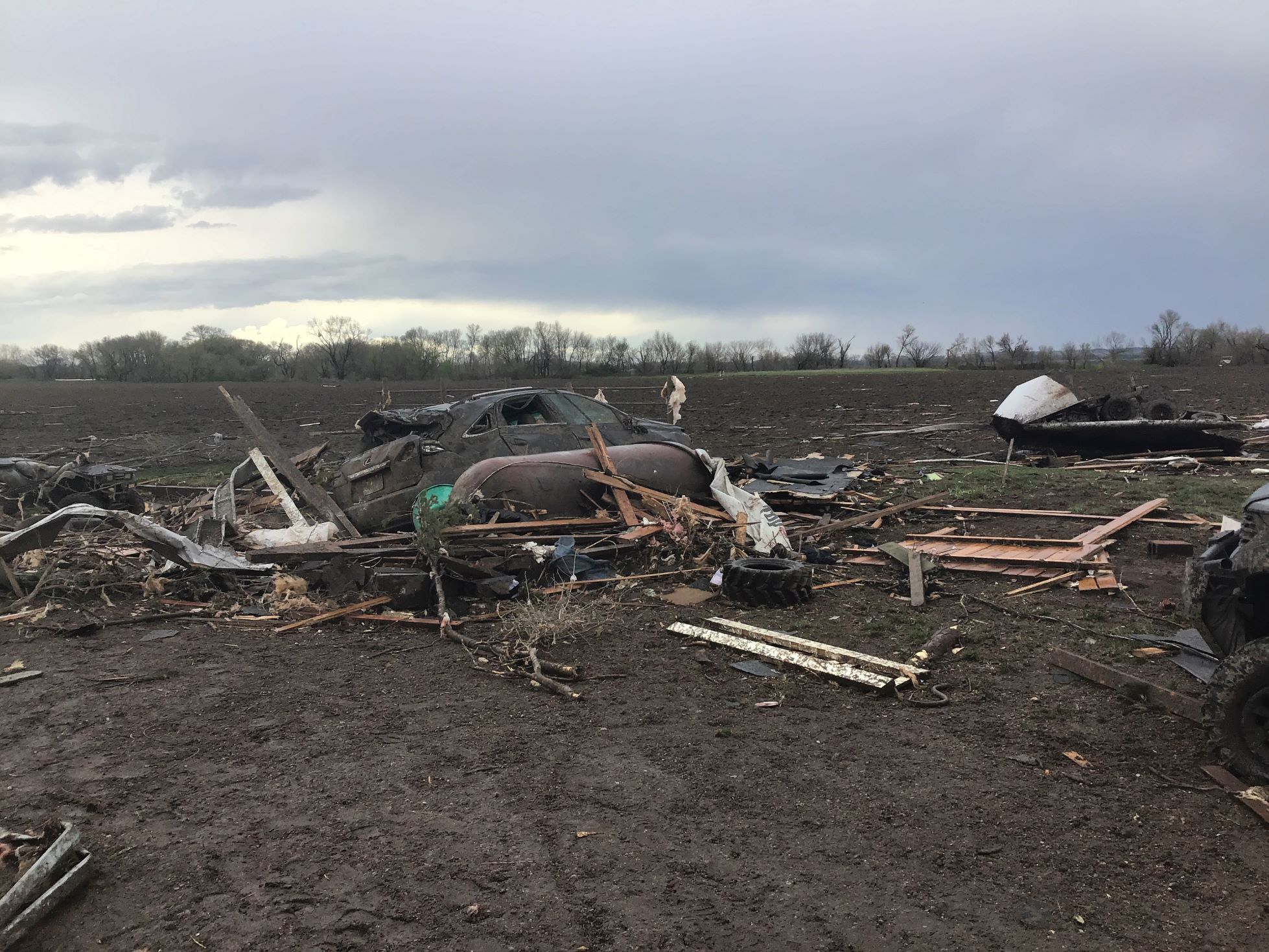
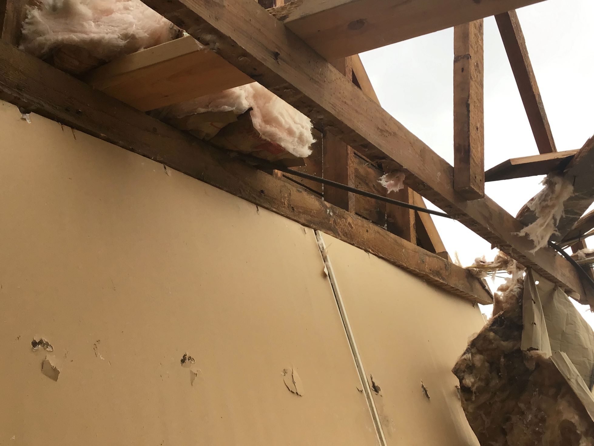
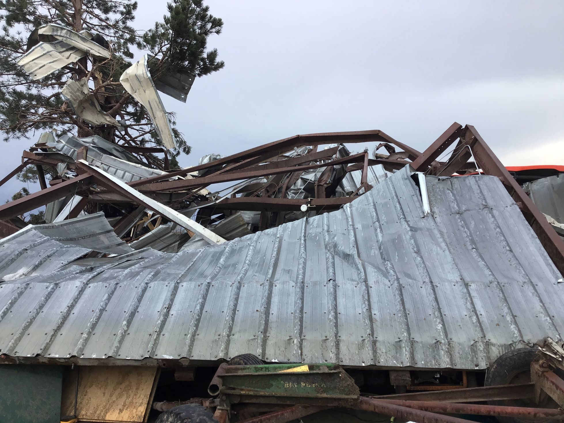
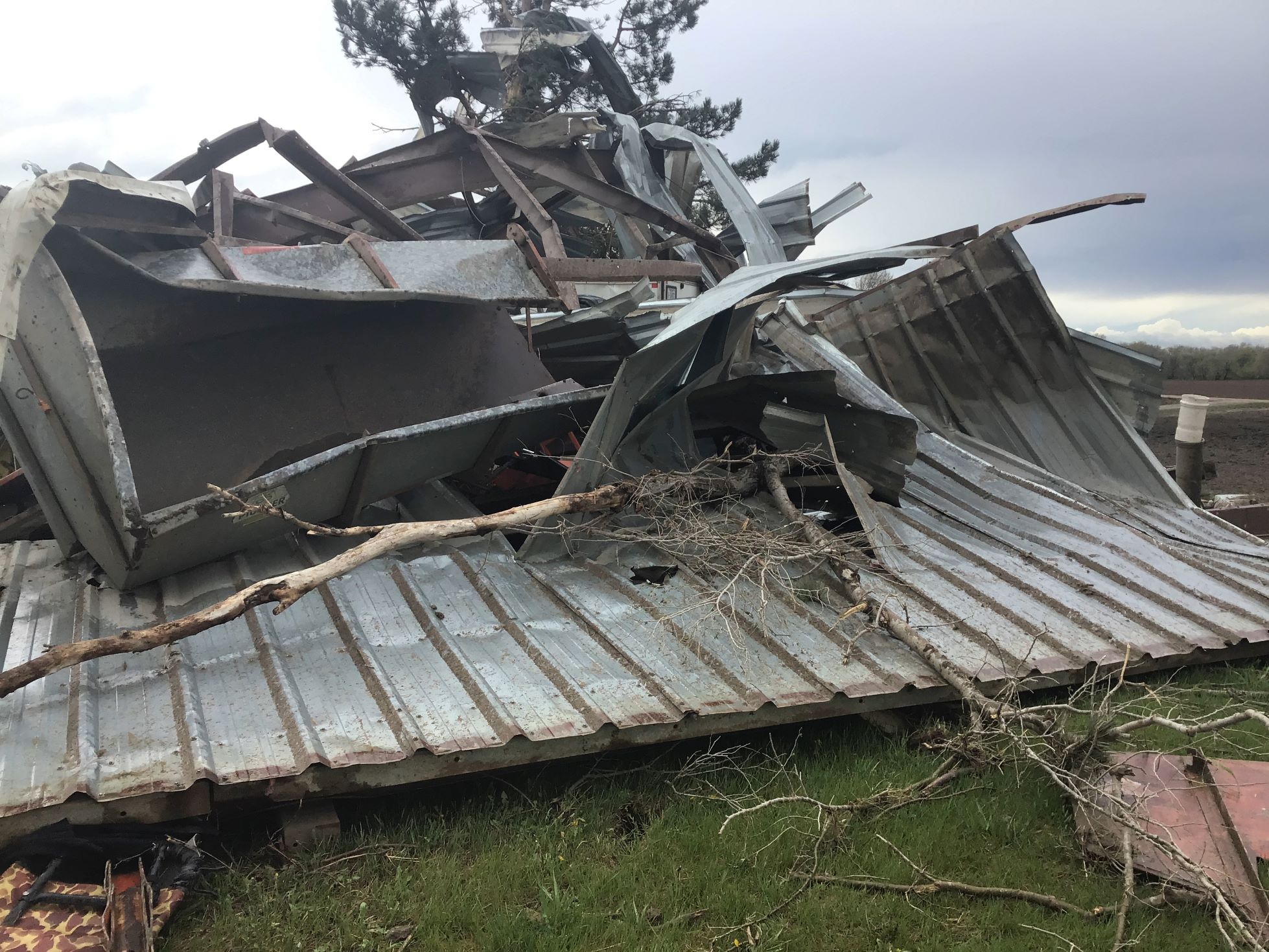
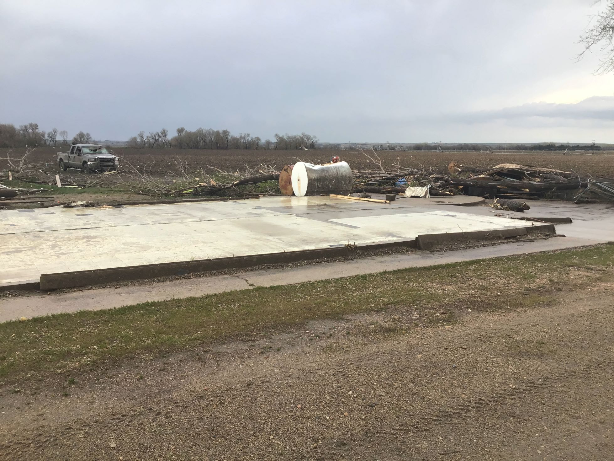
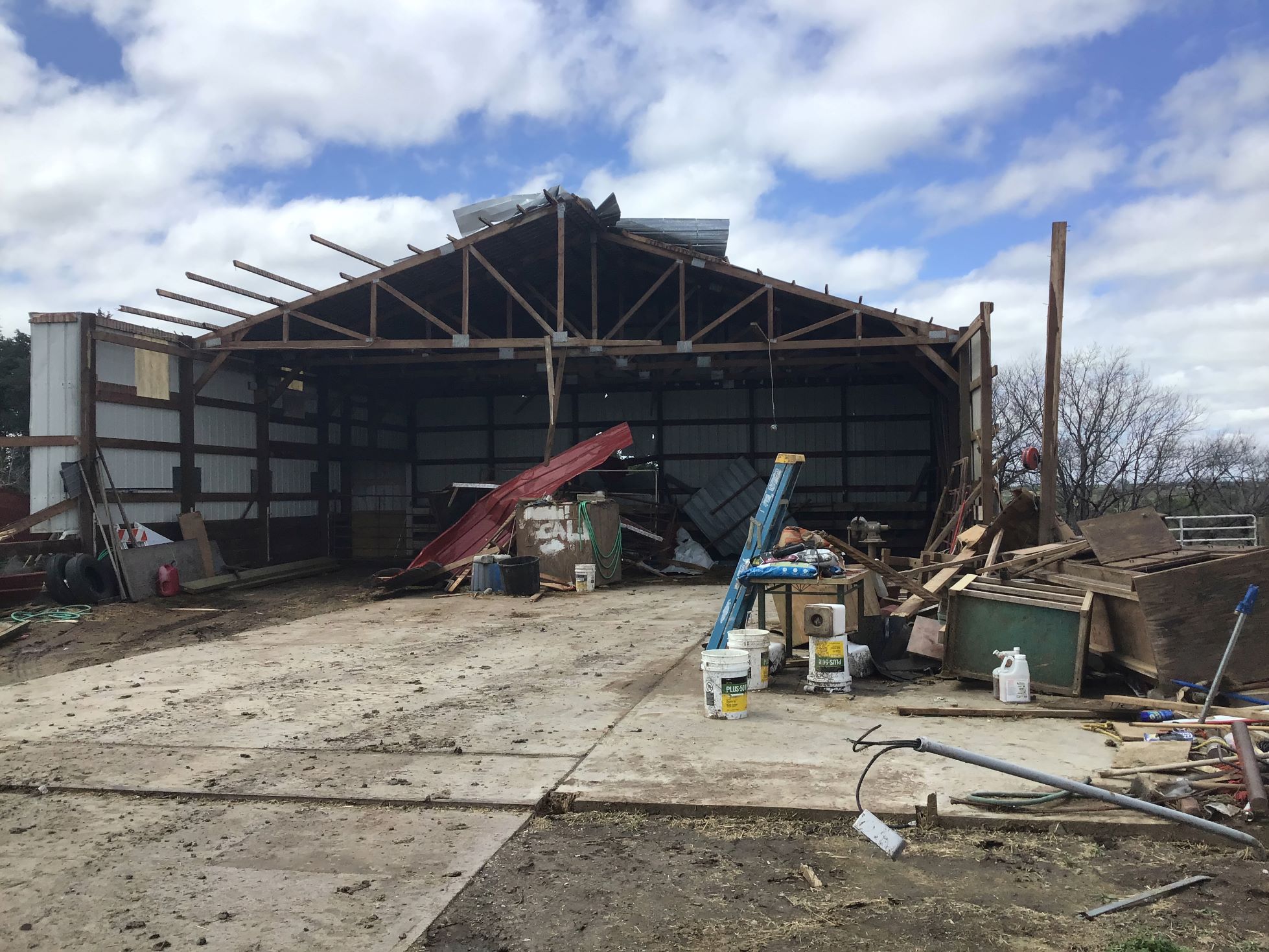
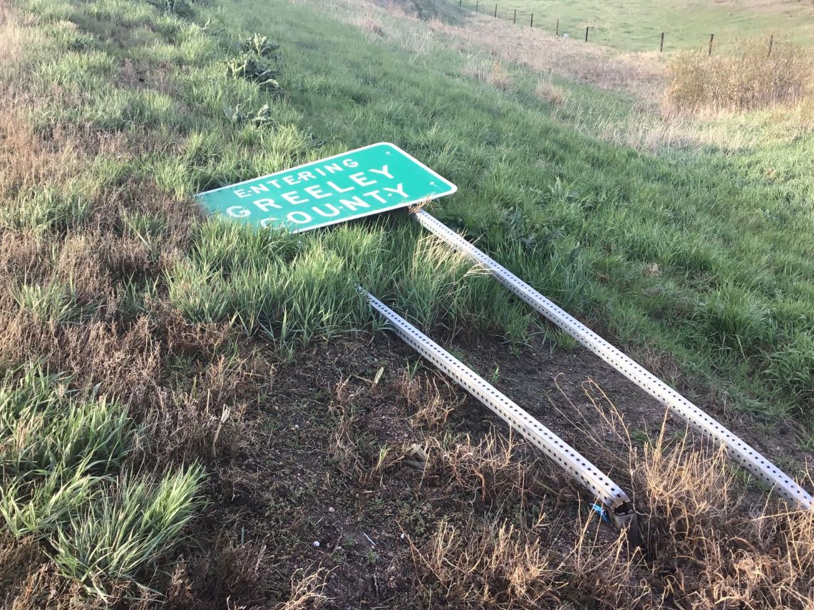
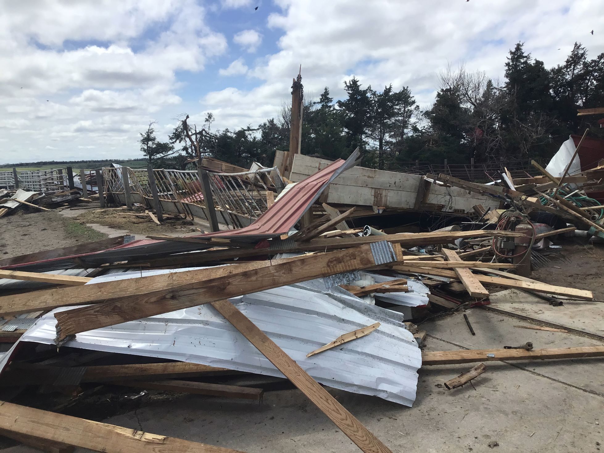
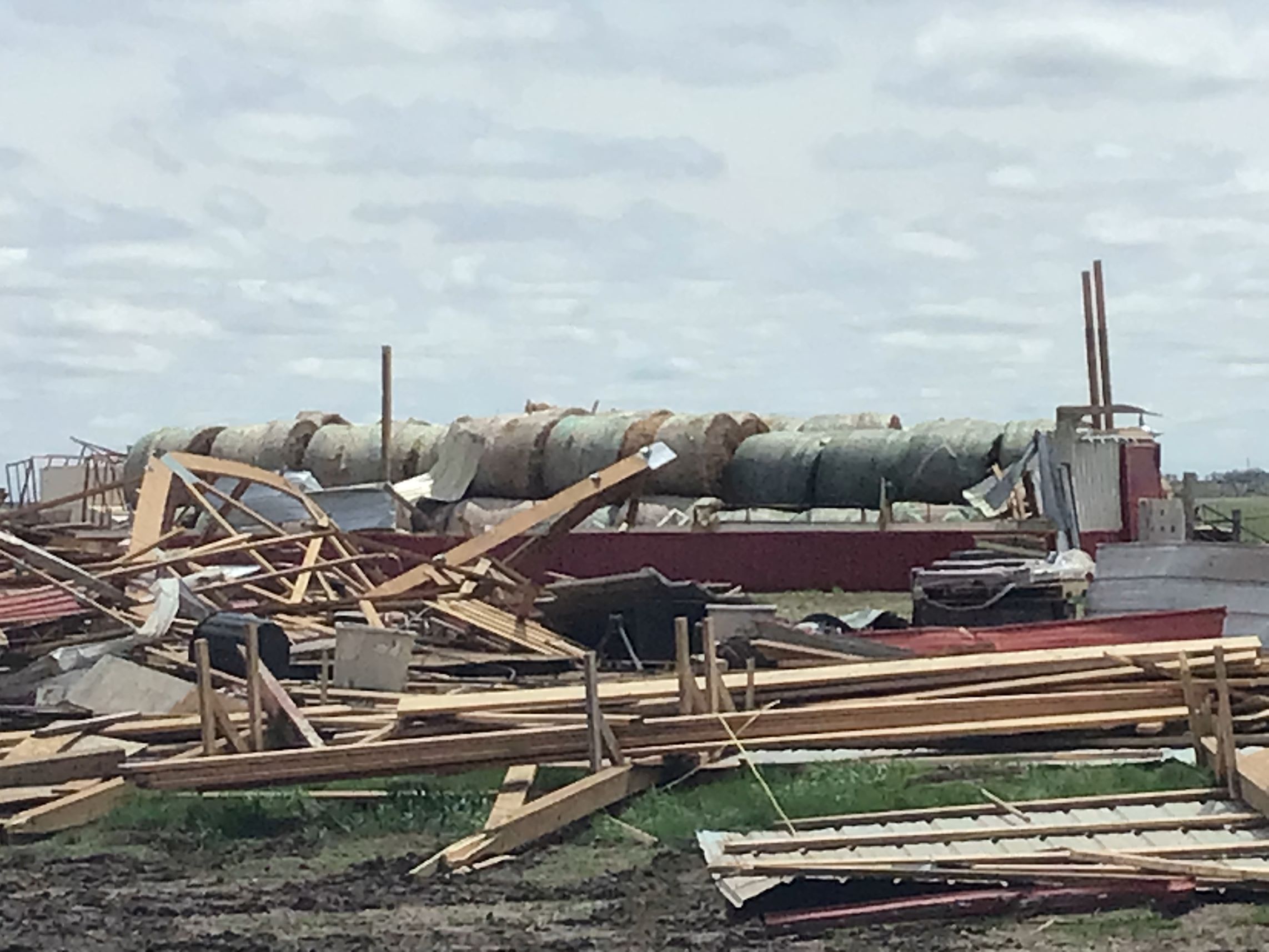
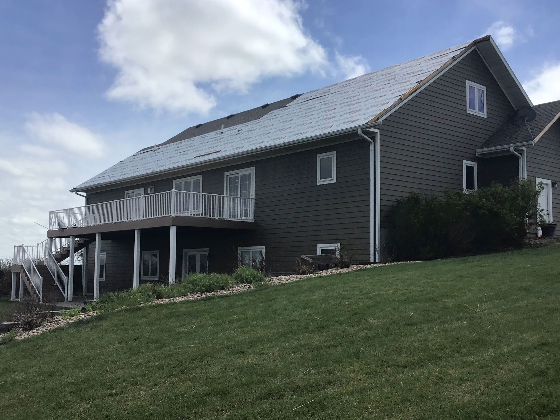
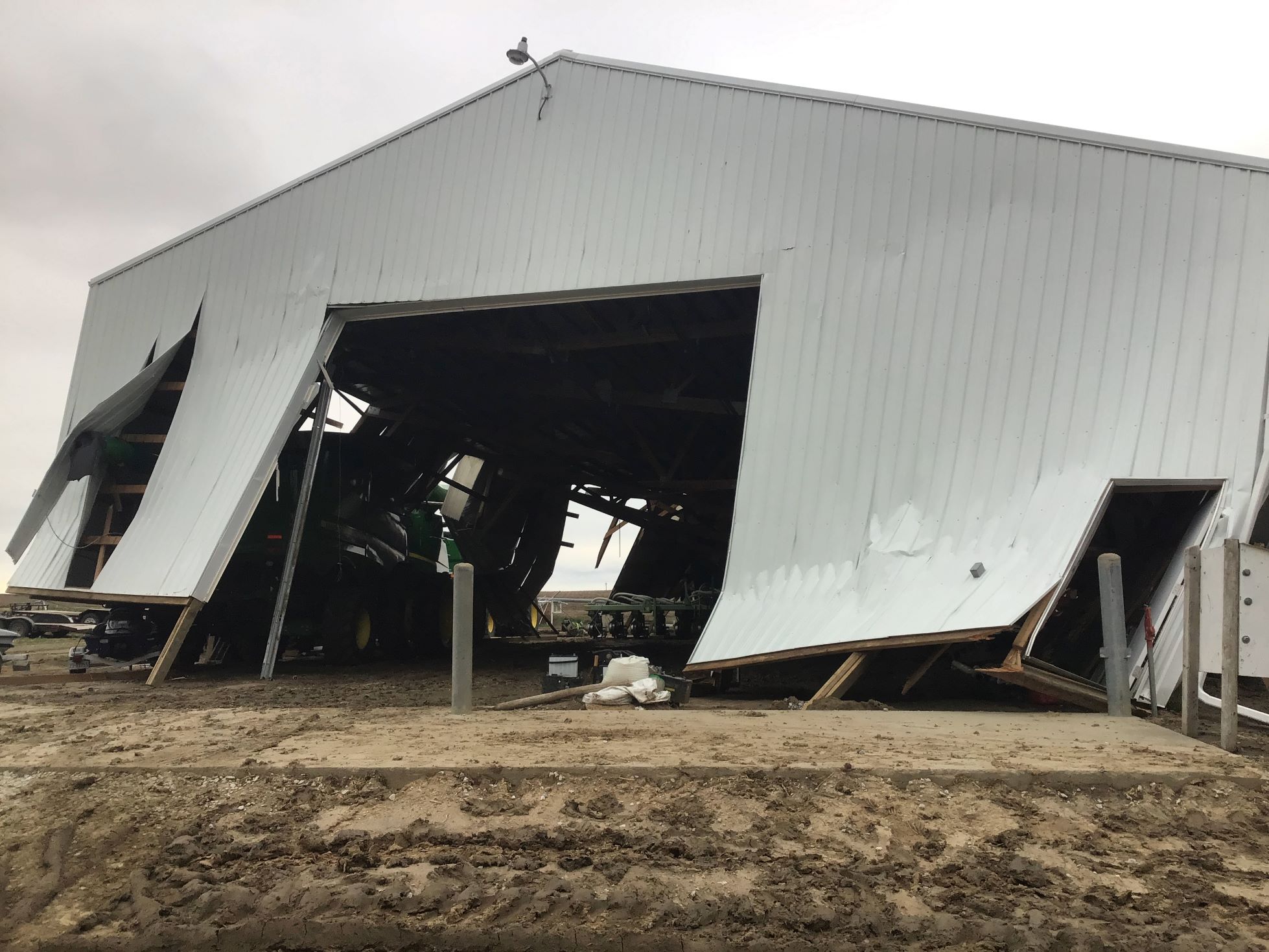
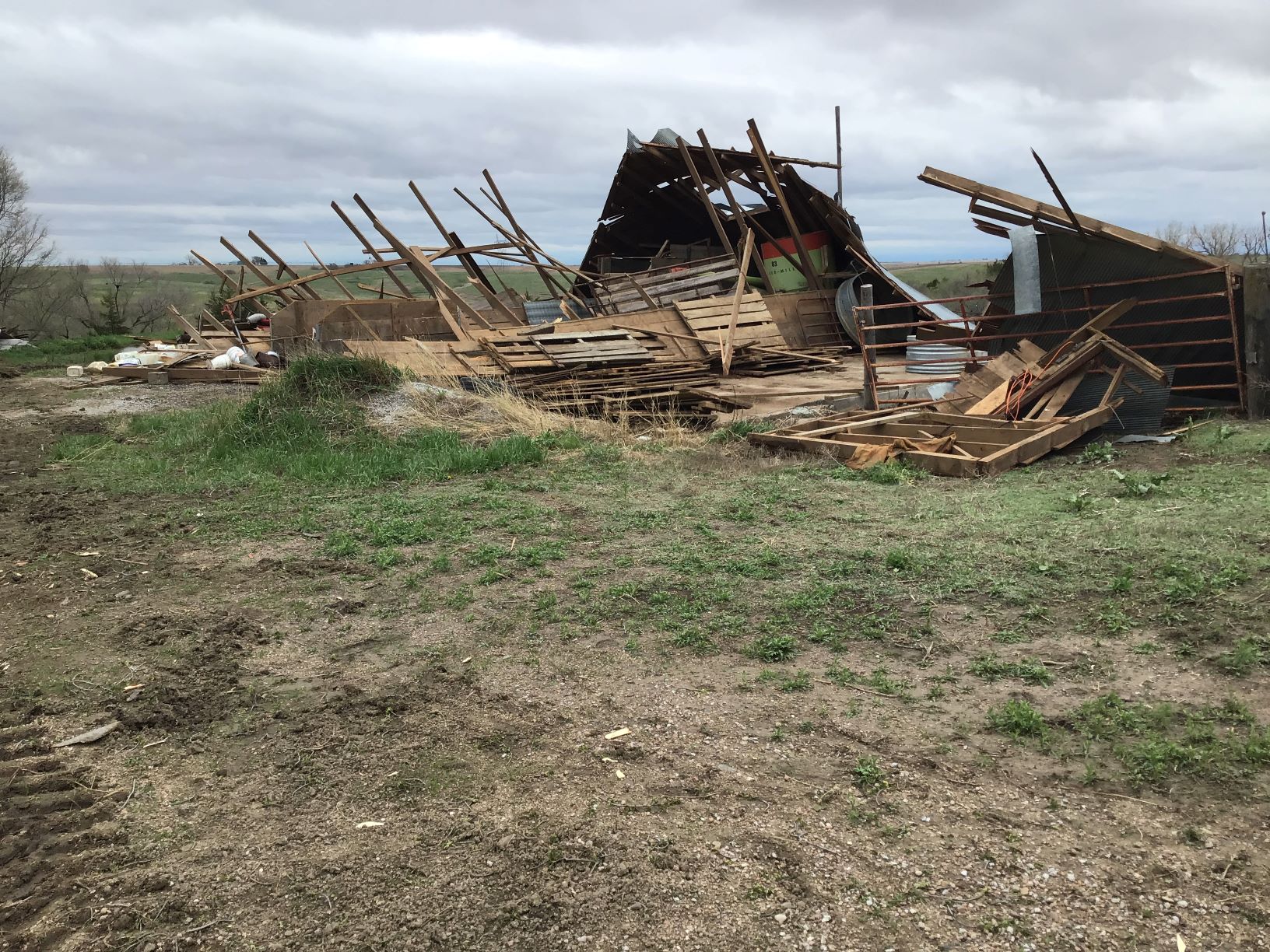
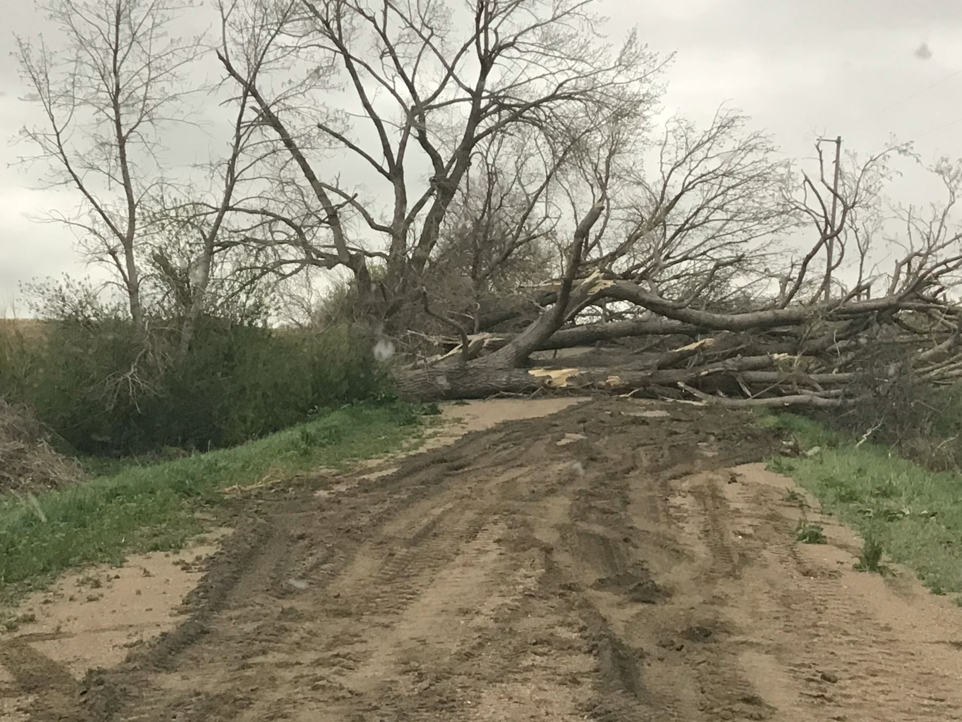
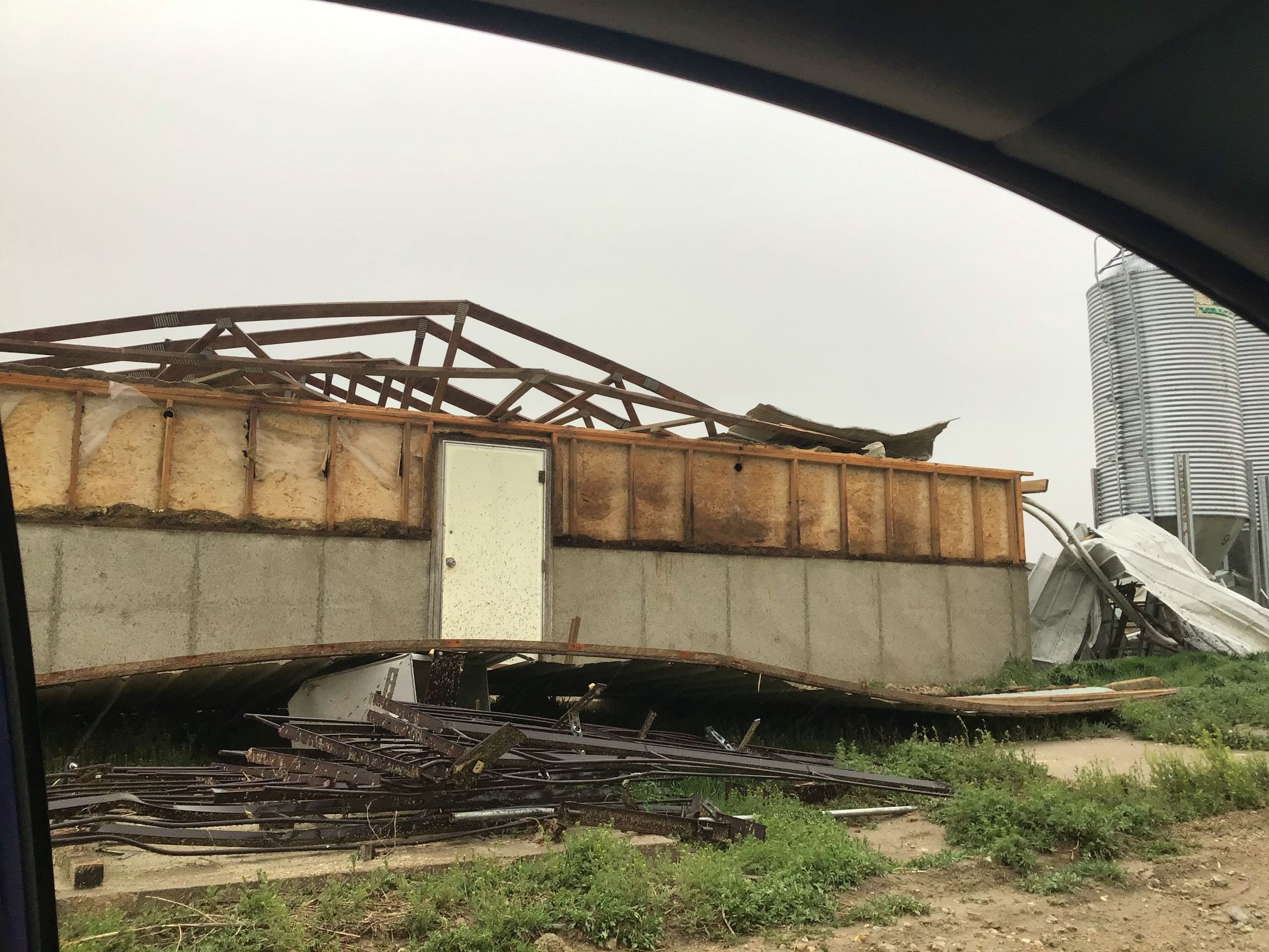
On April 26, 2024, a tornado outbreak occurred from central Nebraska into central Iowa, with a total of 6 tornadoes occurring across the Hastings National Weather Service coverage area. Please select the tabs below to see information on each of these 5 tornadoes: Ravenna EF1, Rockville EF1, Elba EF3, Wolbach EF2, and Wolbach/Primrose EF2.
|
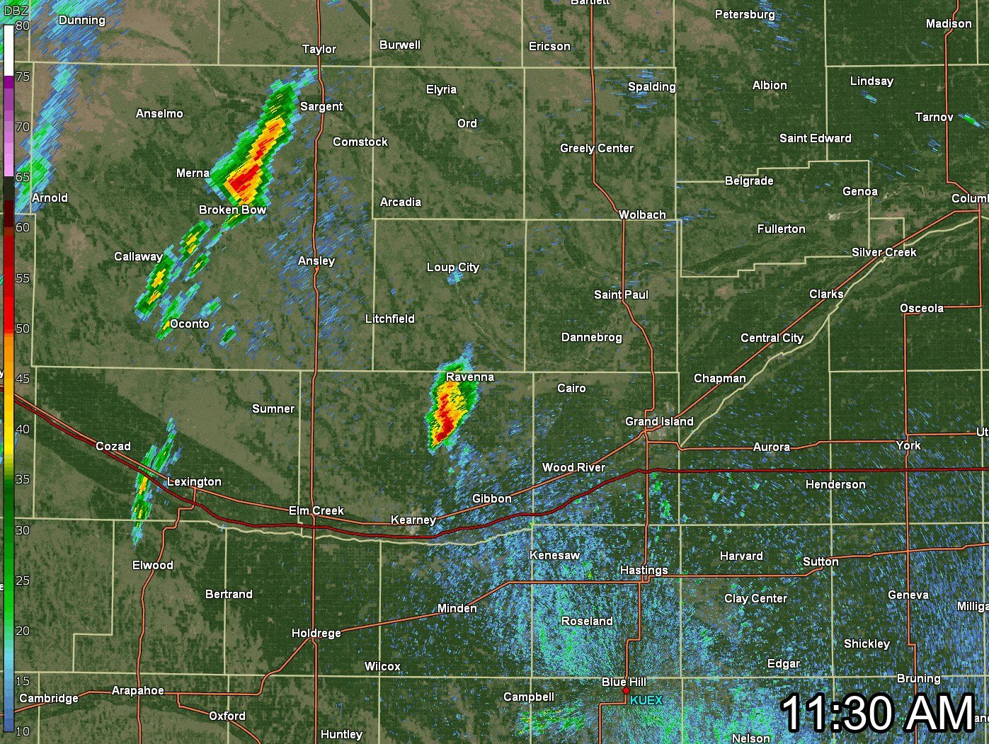 This is a loop of the NWS Hastings radar located near Blue Hill (KUEX), from 11:30 AM - 3:06 PM CDT on Friday, April 26th. The Yellow Boxes show Severe Thunderstorm Warnings that were issued, the Red Boxes show Tornado Warnings. Click the image to enlarge. |
The Enhanced Fujita (EF) Scale classifies tornadoes into the following categories:
| EF0 Weak 65-85 mph |
EF1 Moderate 86-110 mph |
EF2 Significant 111-135 mph |
EF3 Severe 136-165 mph |
EF4 Extreme 166-200 mph |
EF5 Catastrophic 200+ mph |
 |
|||||
|
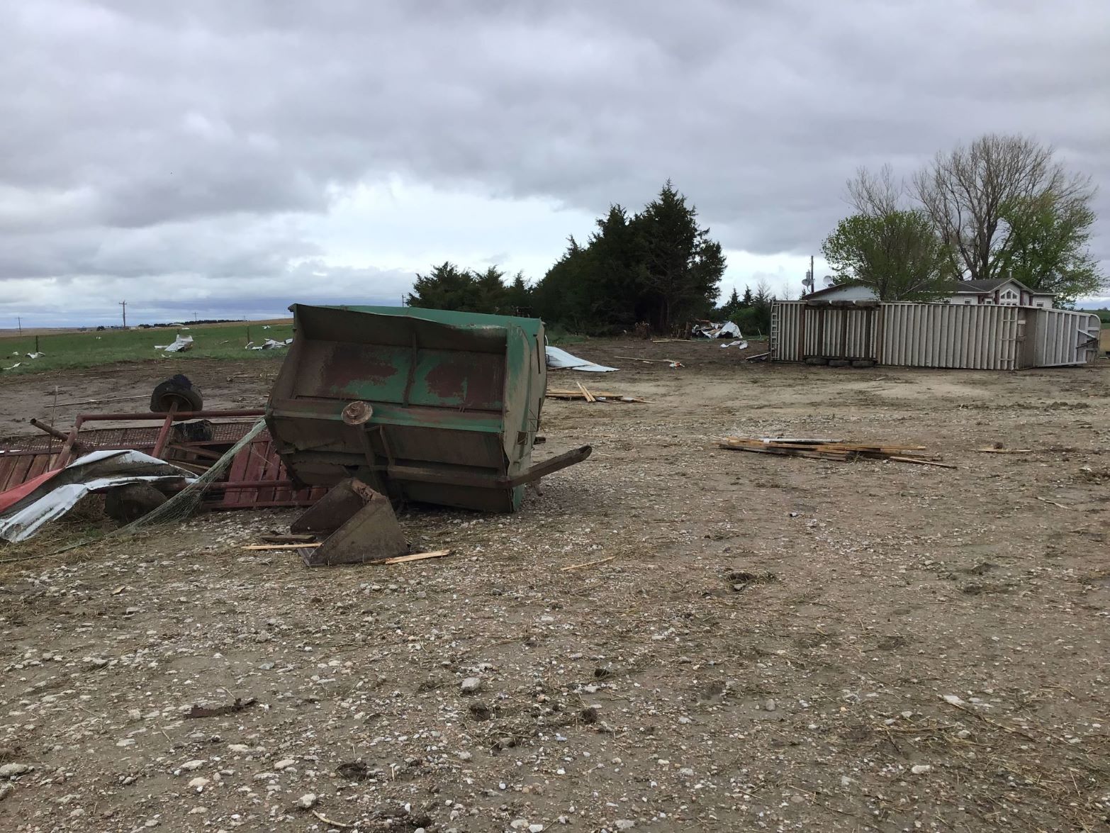
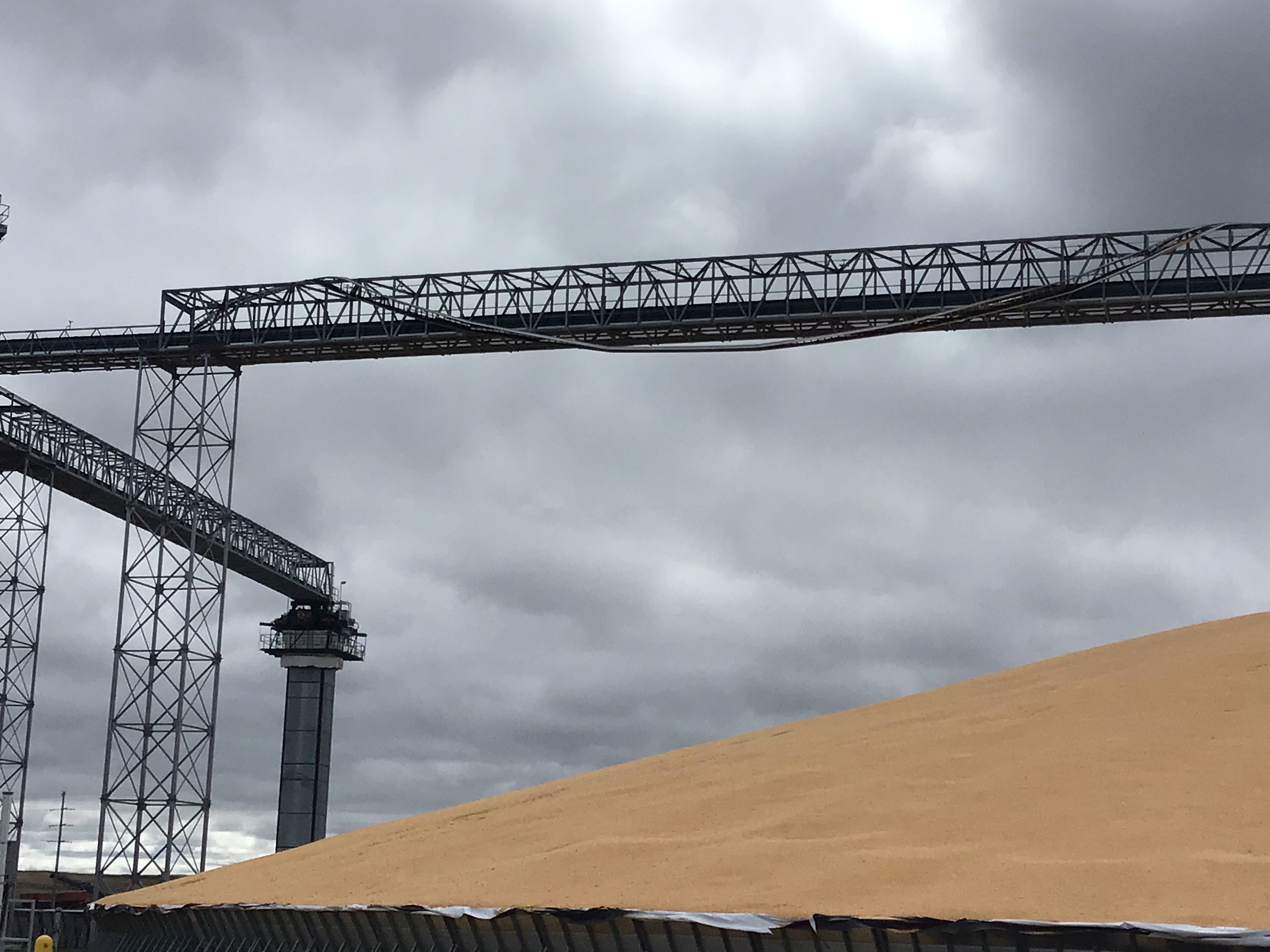
Tornado #1 - Ravenna
Track Map 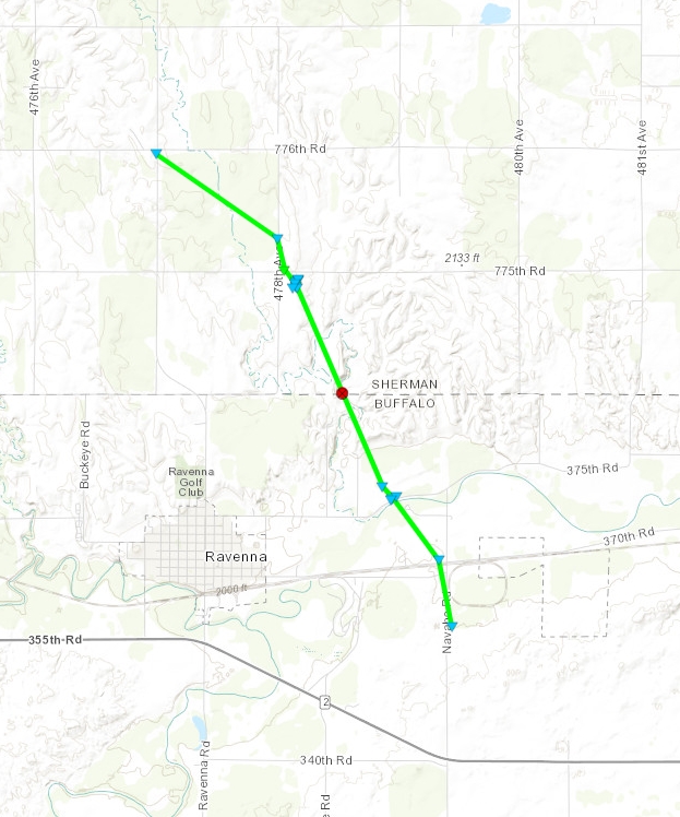 
|
||||||||||||||||
 |
 |
 |
 |
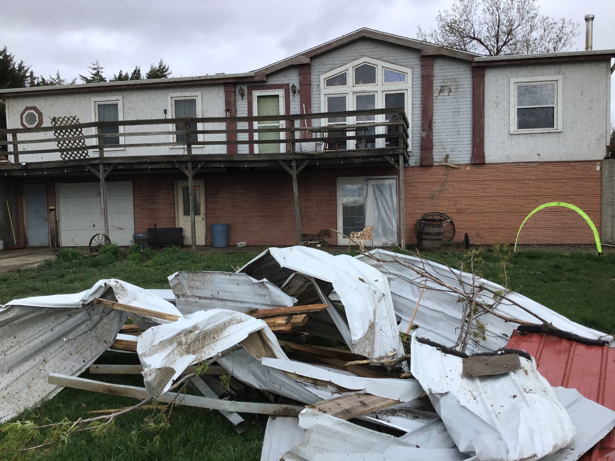
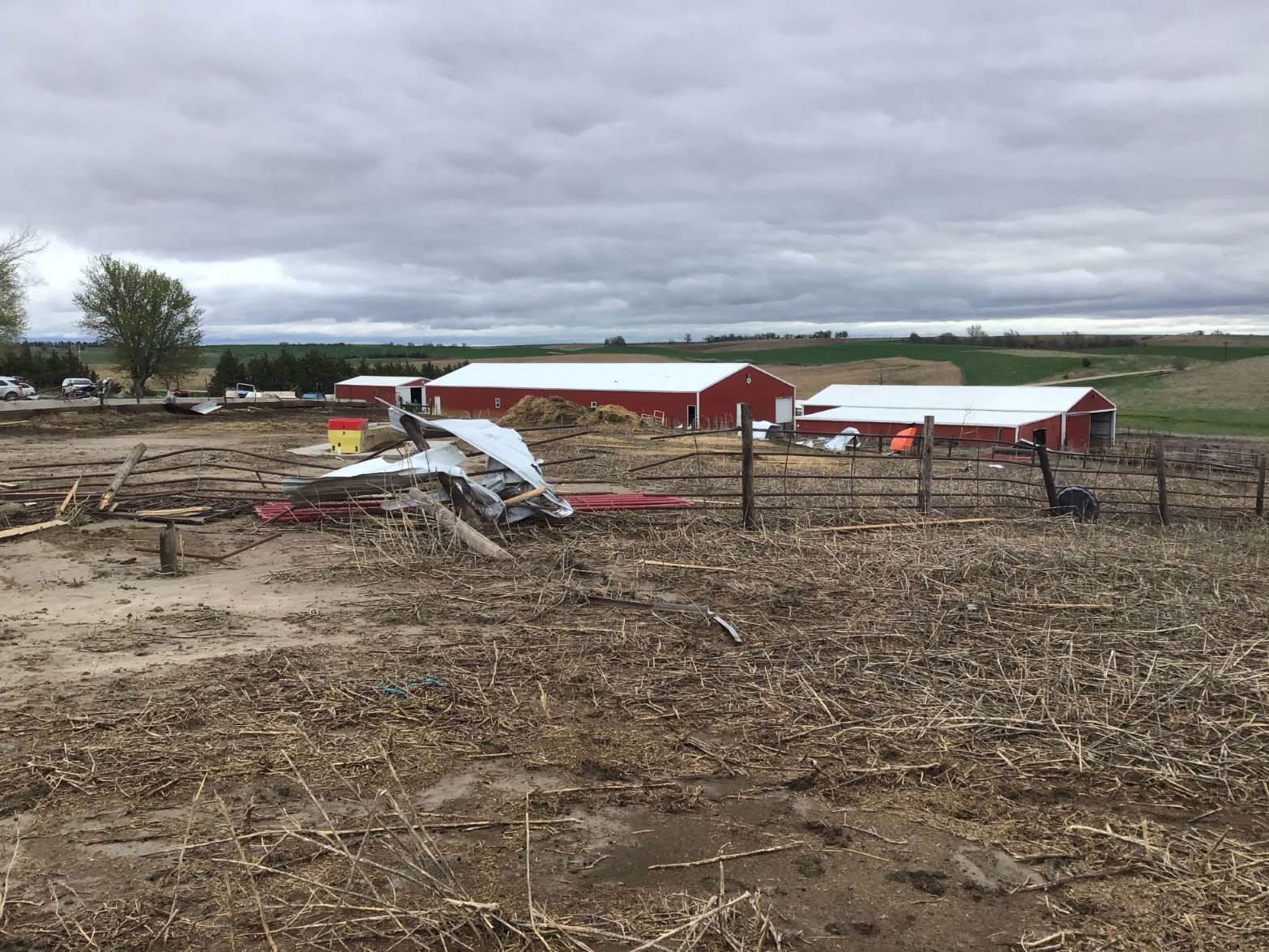
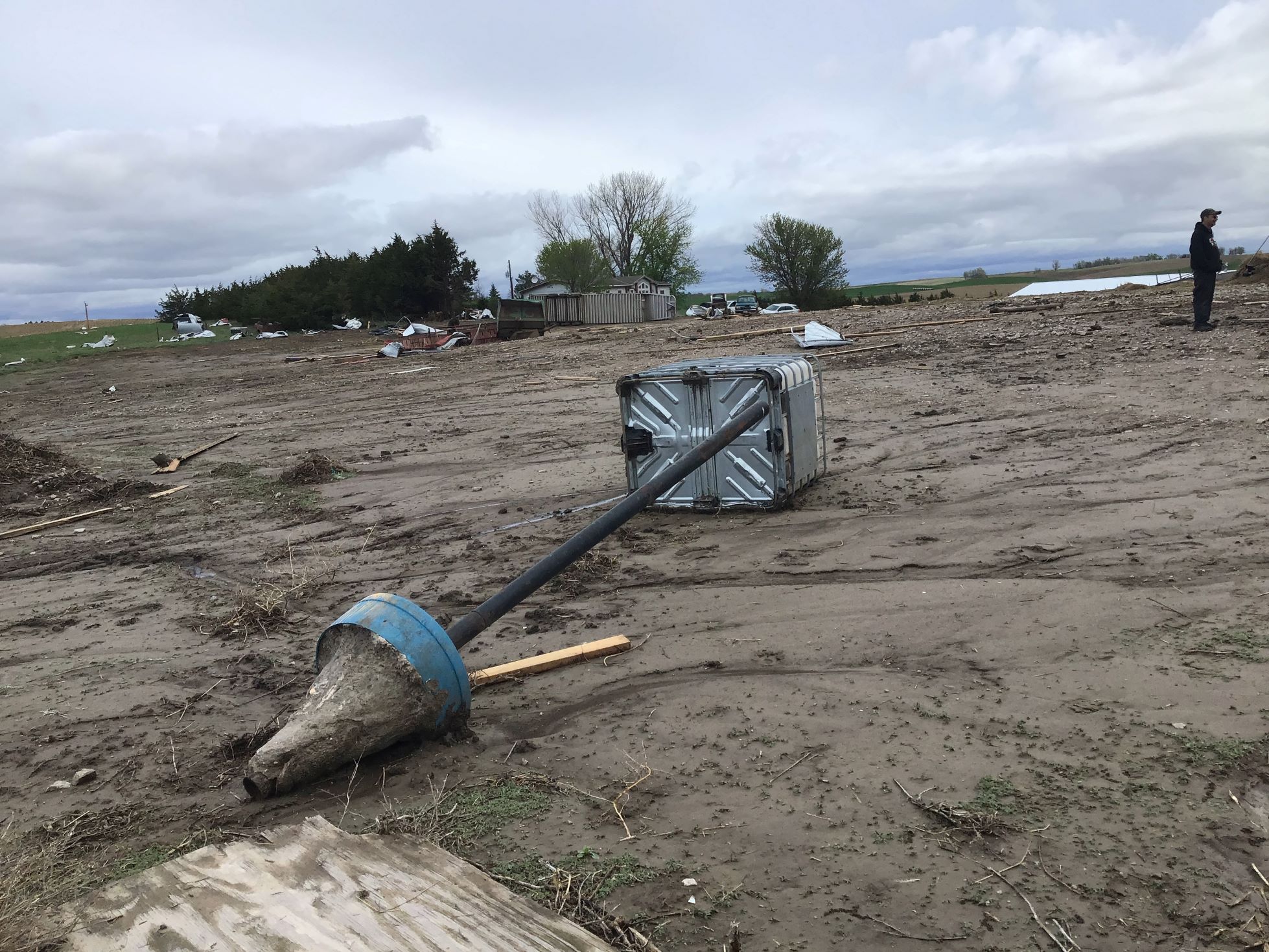
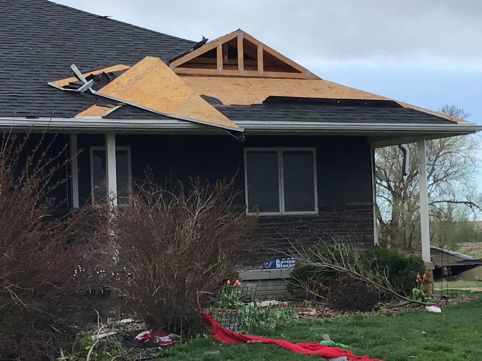
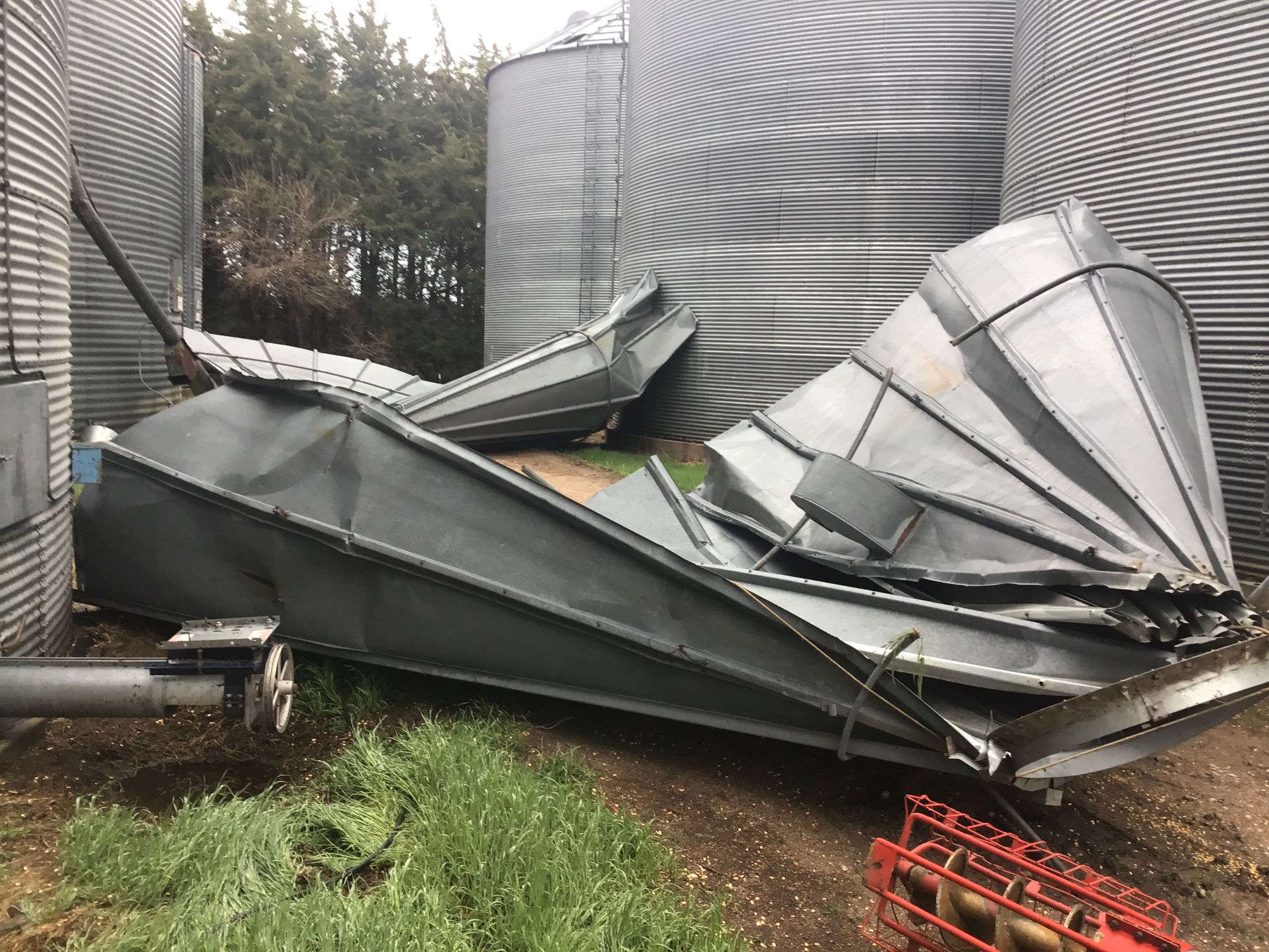
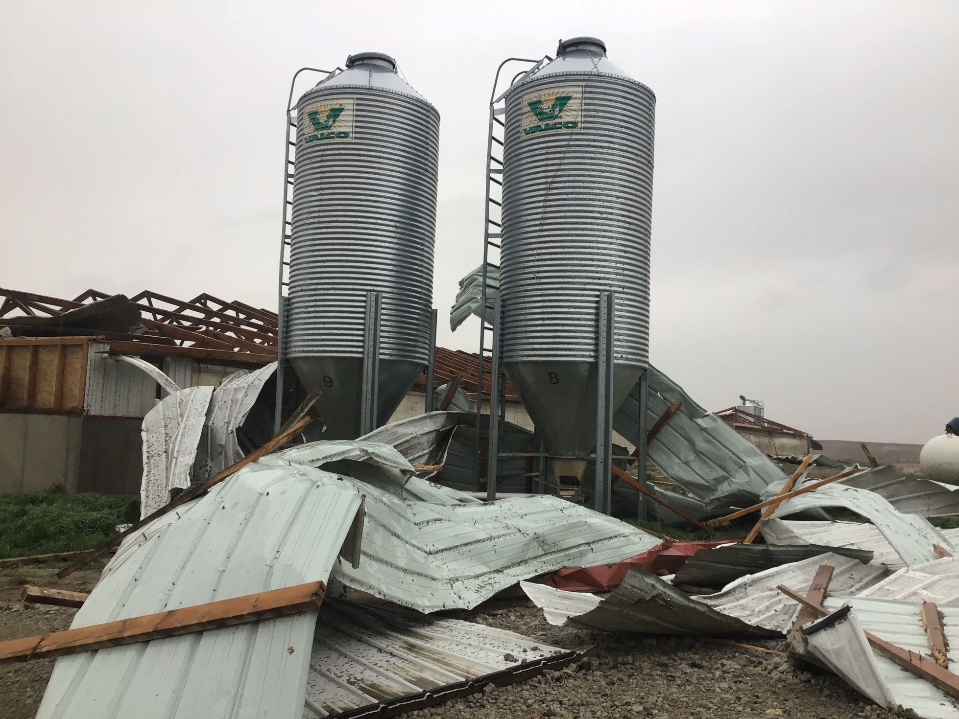
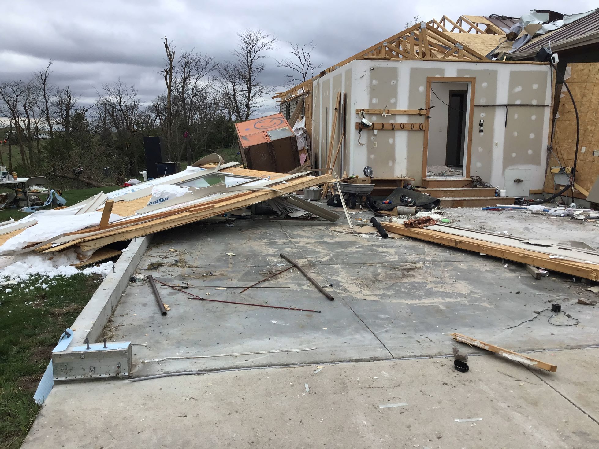
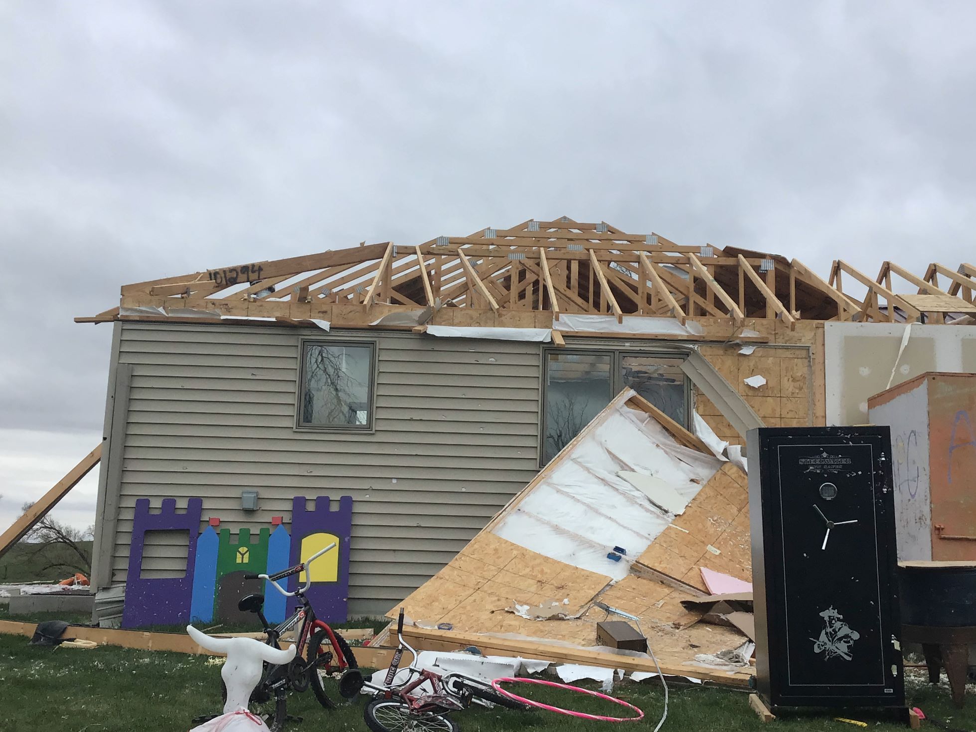
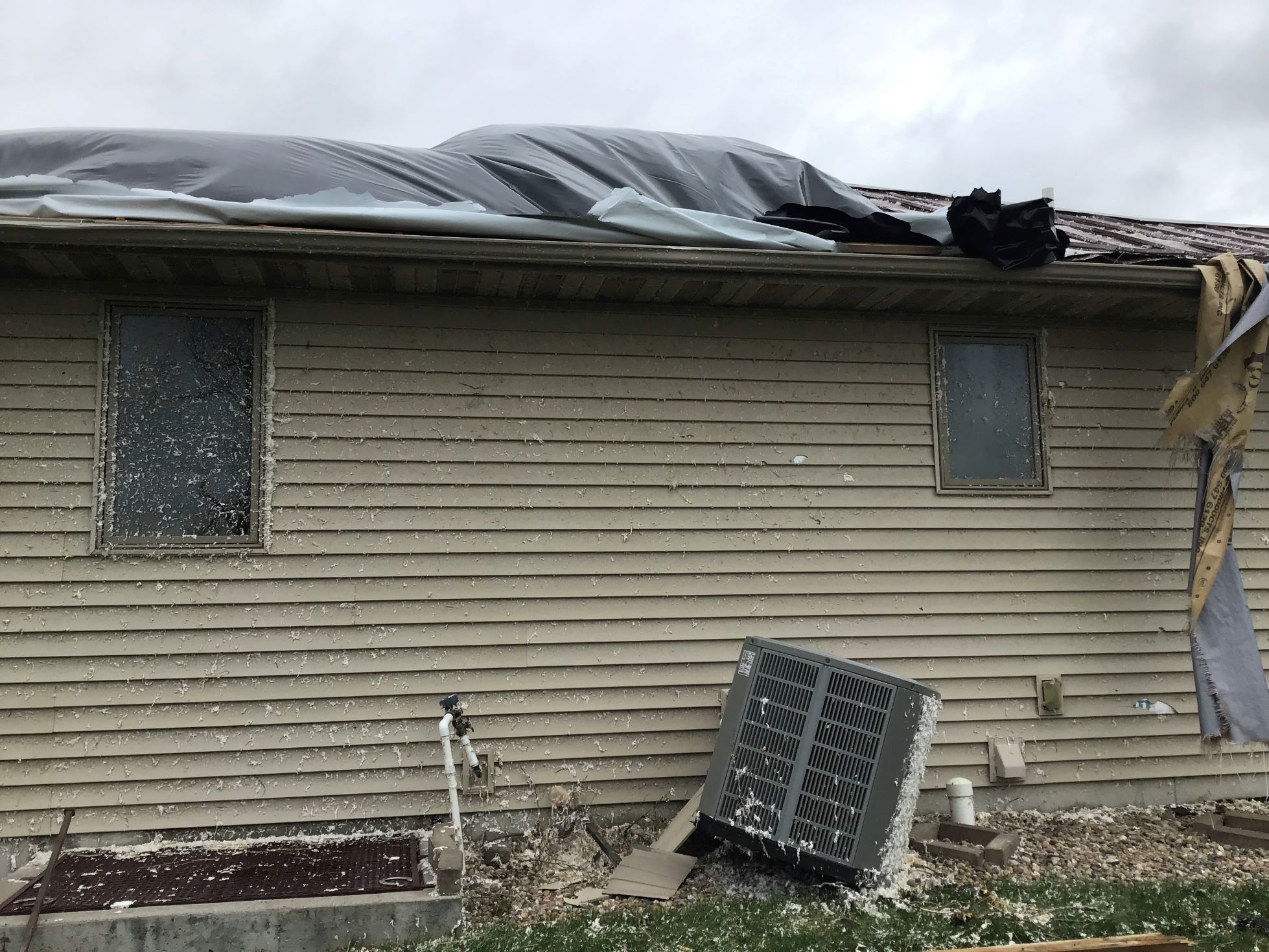
| Tornado Damage | Tornado Damage | Tornado Damage | Tornado Damage |
 |
 |
 |
 |
| Tornado Damage | Tornado Damage | Tornado Damage | Tornado Damage |
|
Tornado #2 - Rockville
Track Map 
|
||||||||||||||||
 |
 |
 |
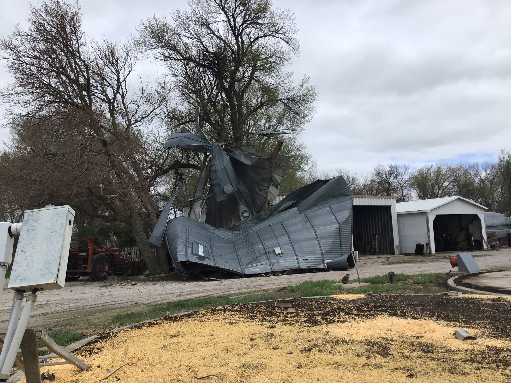 |
| Tornado Damage | Tornado Damage | Tornado Damage | Tornado Damage |
 |
 |
 |
 |
| Tornado Damage | Tornado Damage | Tornado Damage | Tornado Damage |
 |
 |
 |
|
| Tornado Damage | Tornado Damage | Tornado Damage | Caption |
|
Tornado #3 - Farwell/Elba
Track Map 
|
||||||||||||||||
 |
 |
 |
 |
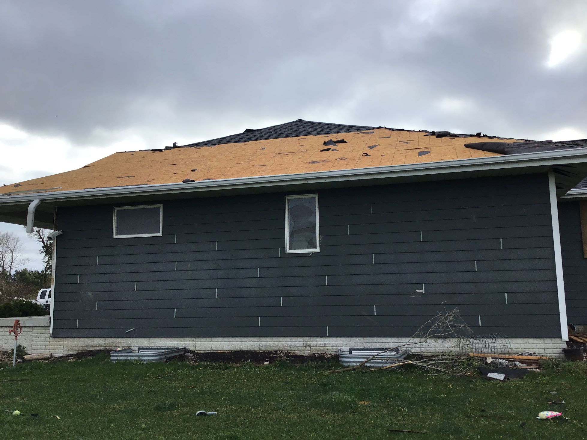
| Tornado Damage | Tornado Damage | Tornado Damage | Tornado Damage |
 |
 |
 |
 |
| Tornado Damage | Tornado Damage | Tornado Damage | Tornado Damage |
 |
 |
 |
 |
| Tornado Damage | Tornado Damage | Tornado Damage | Tornado Damage |
|
Tornado #4 - Wolbach
Track Map 
|
||||||||||||||||
 |
 |
 |
 |
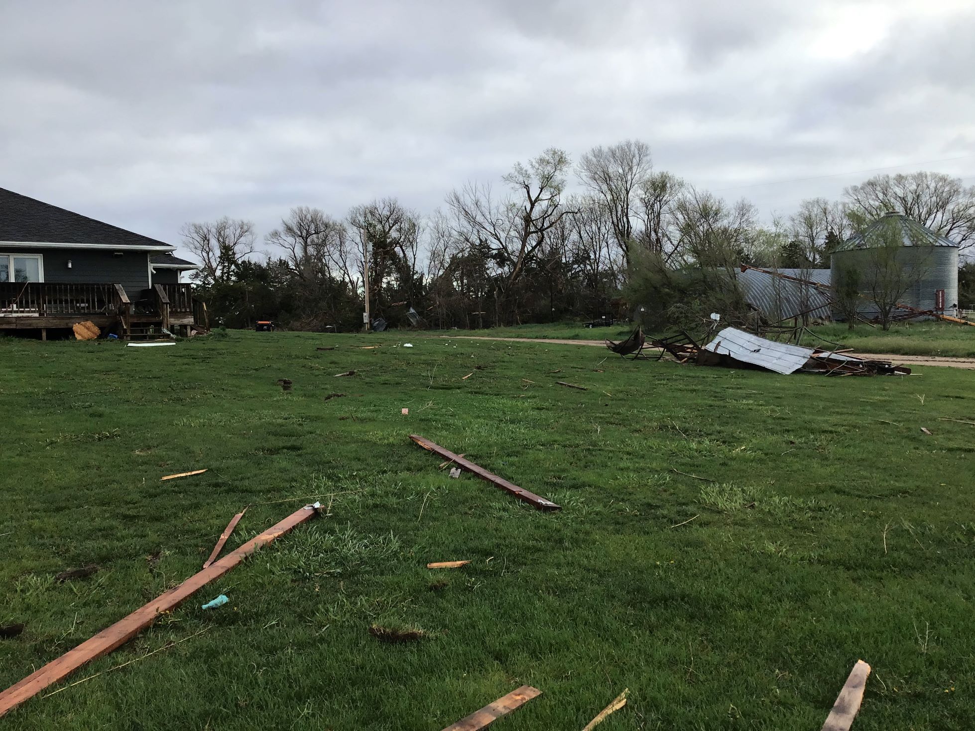
| Tornado Damage | Tornado Damage | Tornado Damage | Tornado Damage |
 |
 |
 |
 |
| Tornado Damage | Tornado Damage | Tornado Damage | Tornado Damage |
 |
 |
 |
|
| Tornado Damage | Tornado Damage | Tornado Damage | Tornado Damage |
|
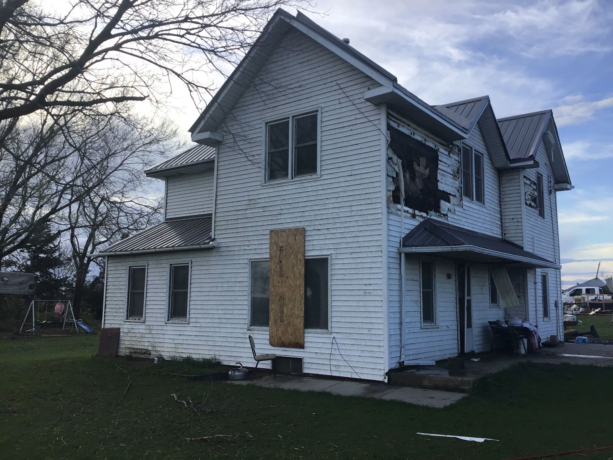
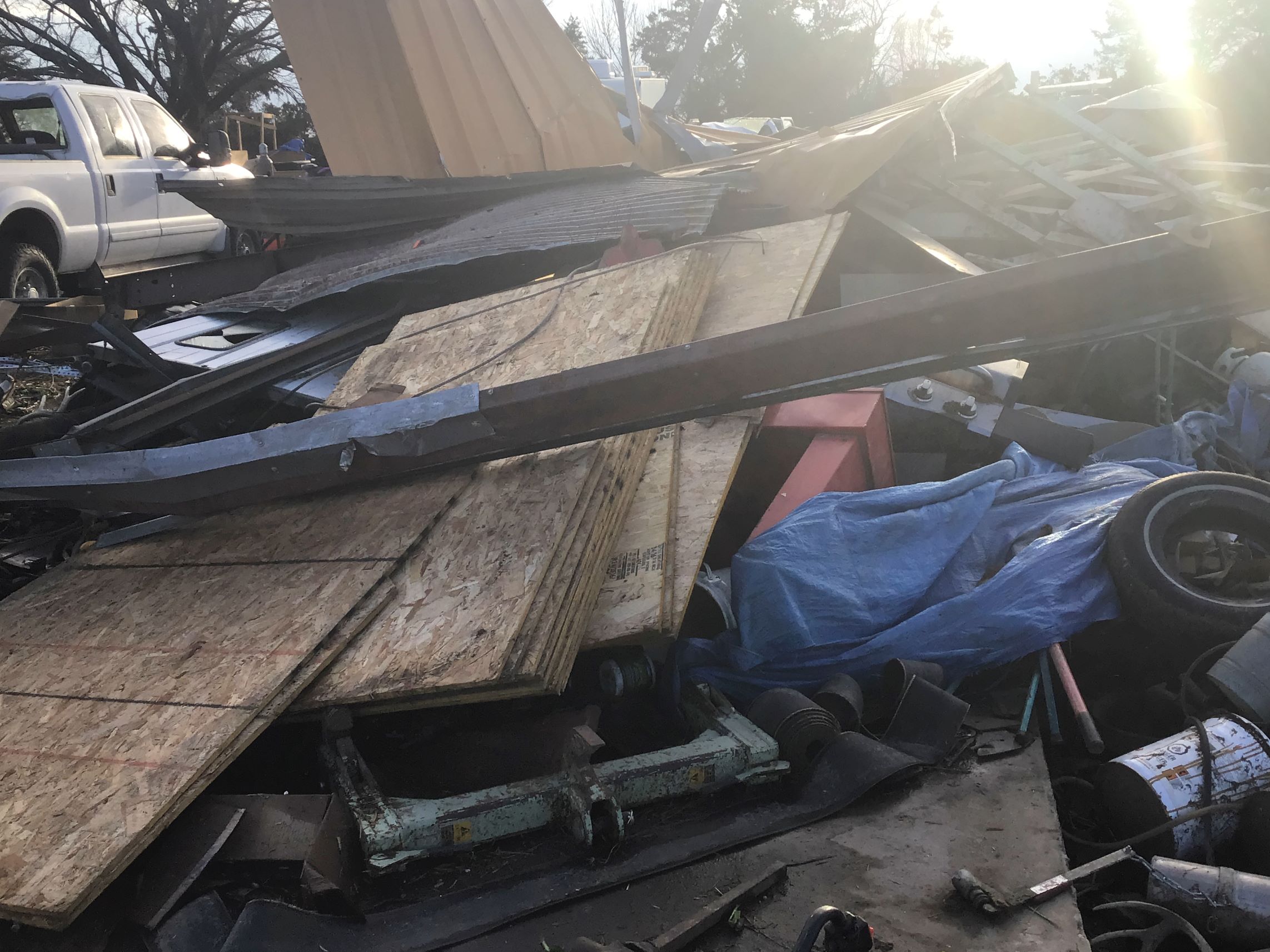
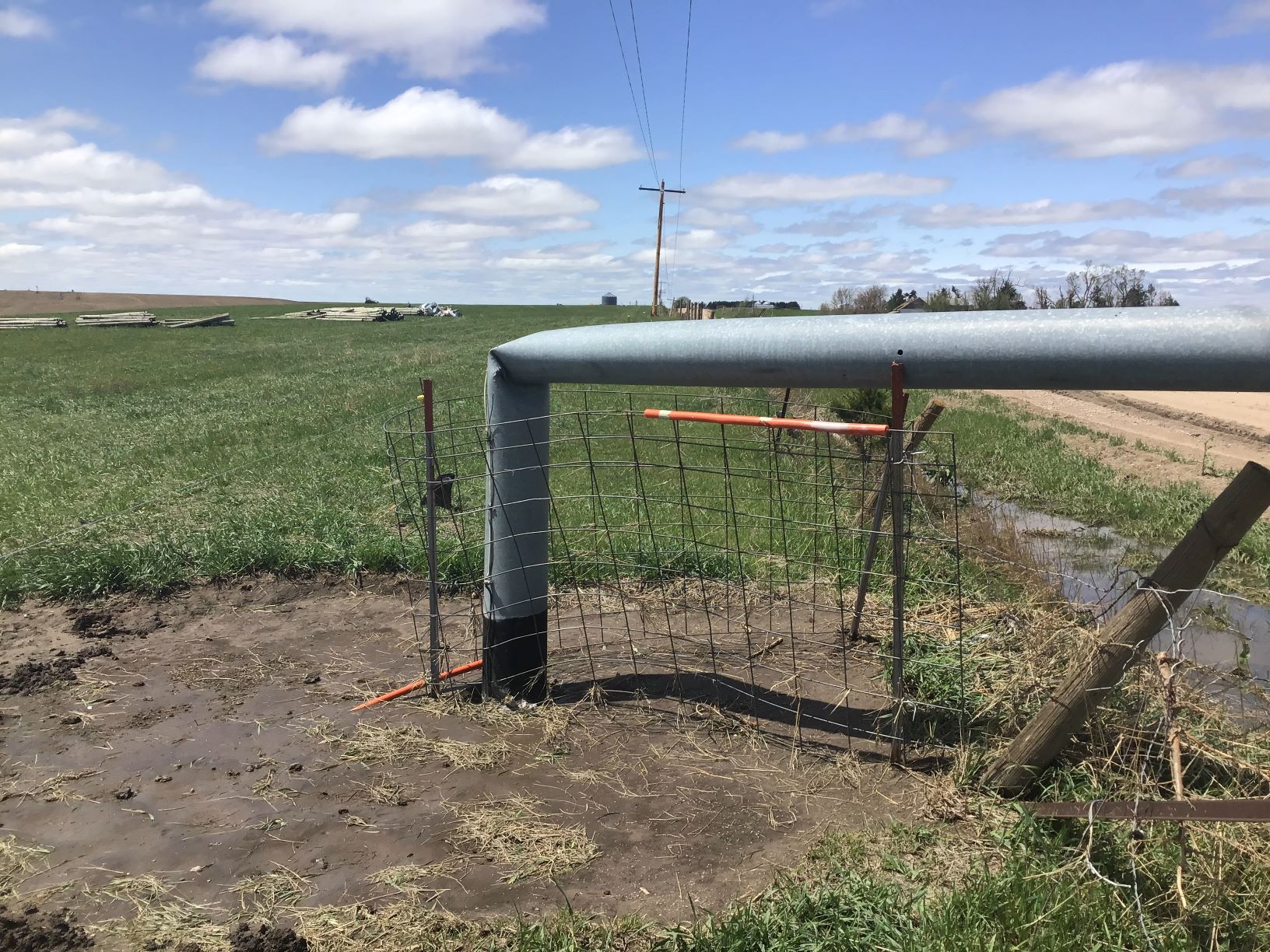
Tornado #5 - Wolbach/Primrose
Track Map 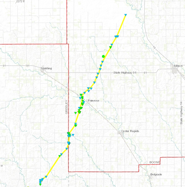
|
||||||||||||||||
 |
 |
 |
 |
| Tornado Damage | Tornado Damage | Tornado Damage | Tornado Damage |
 |
 |
 |
 |
| Tornado Damage | Tornado Damage | Tornado Damage | Tornado Damage |
 |
 |
 |
 |
| Tornado Damage | Tornado Damage | Tornado Damage | Tornado Damage |
 |
Media use of NWS Web News Stories is encouraged! Please acknowledge the NWS as the source of any news information accessed from this site. |
|

