Overview
|
Enter summary/what happened: |
 Capture of radar imagery showing storms moving through the area. Click the image to go to a loop of the entire event. |
Tornadoes
|
Tornado - Lushton Tornado
|
||||||||||||||||
|
||||||||||||||||
The Enhanced Fujita (EF) Scale classifies tornadoes into the following categories:
| EF0 Weak 65-85 mph |
EF1 Moderate 86-110 mph |
EF2 Significant 111-135 mph |
EF3 Severe 136-165 mph |
EF4 Extreme 166-200 mph |
EF5 Catastrophic 200+ mph |
 |
|||||
Wind
Insert summary here.
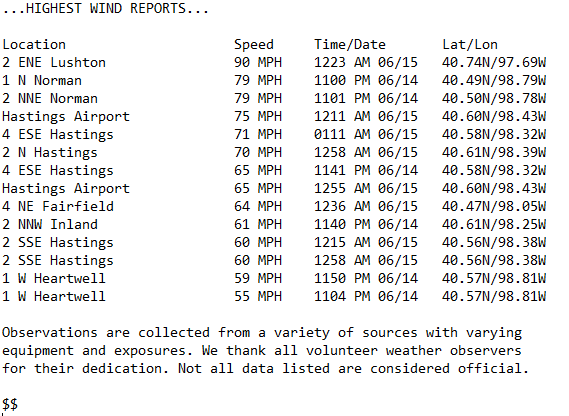 |
| List of the highest measured wind speeds across the area. Click for a larger version. |
 |
 |
 |
 |
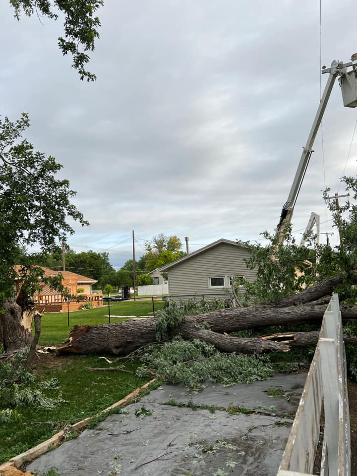
| Wind damage in Hastings. Photo by Alida Draayer. |
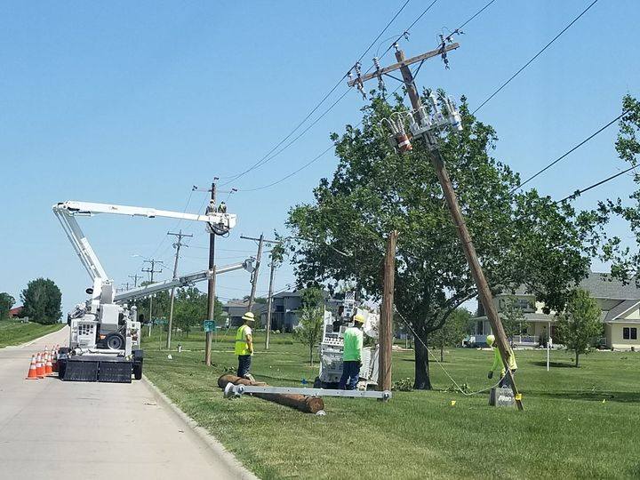
Wind damage in Hastings. Photo by Debbie Willy. |
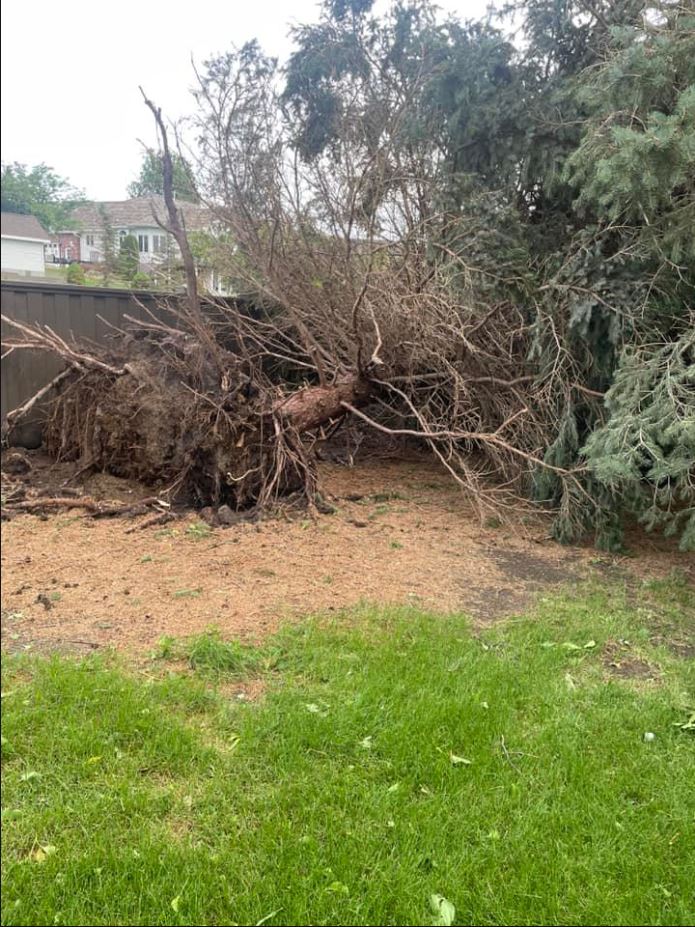
Wind damage in Hastings. Photo by Kathryn Robinson. |
Wind damage in Hastings. Photo by Kristine Osborne. |
 |
 |
 |
 |
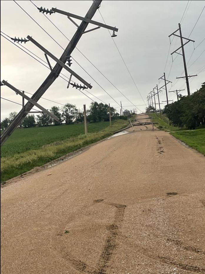
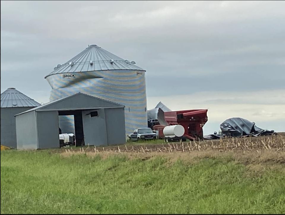
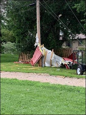
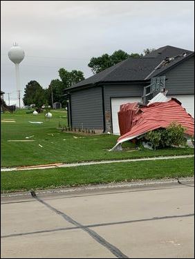
| Damage near McCool Junction. Photo by Ken Real. | Wind damage near McCool Junction. Photos by Chandra Stewart. |
||
 |
 |
 |
 |
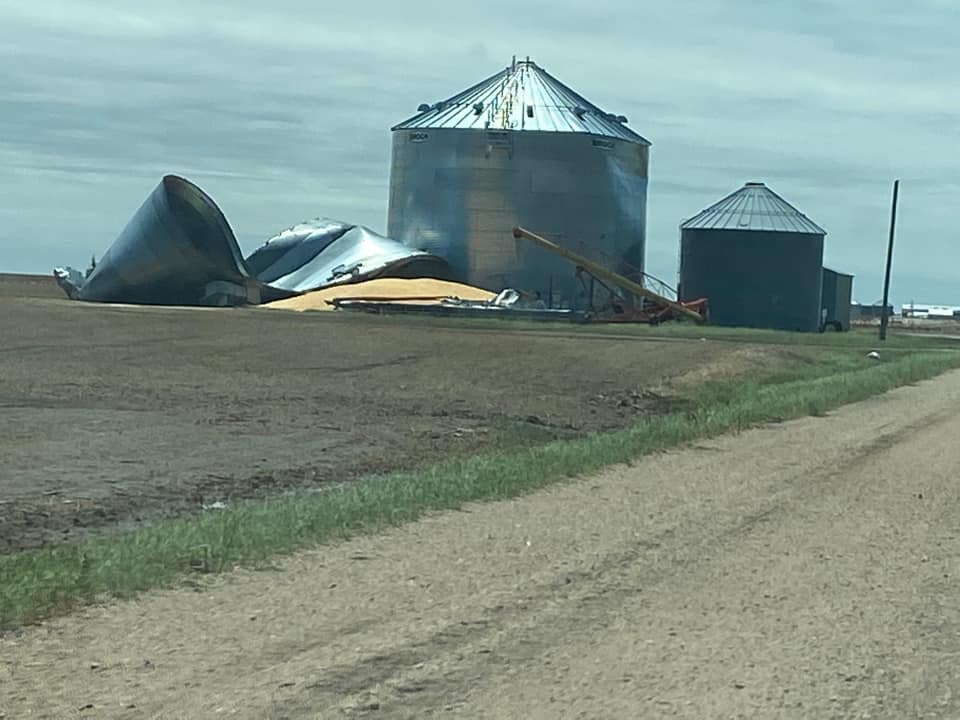
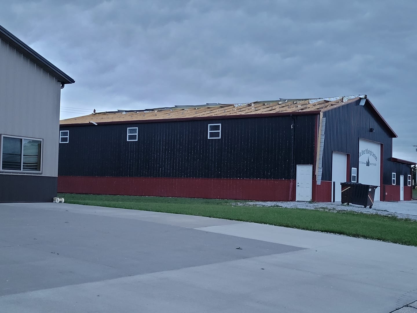
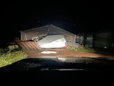
| Wind damage near McCool Junction. Photos by Reid Van Western. |
|||
 |
 |
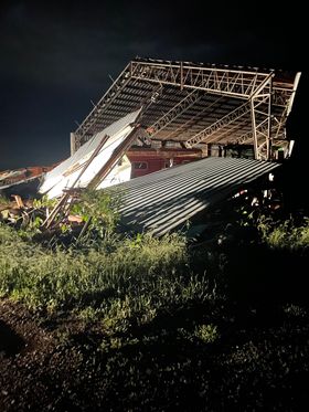 |
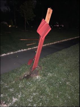
| Wind damage near McCool Junction. Photo by John Storsteen. |
Wind damage near the York/Seward County line. Photos by Jessica Luebbe. |
|
Insert summary here.
 |
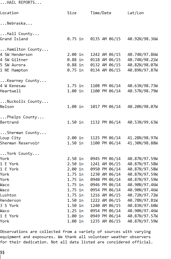 |
| List of the largest hail reports across the area. Click for a larger version. | |
 |
 |
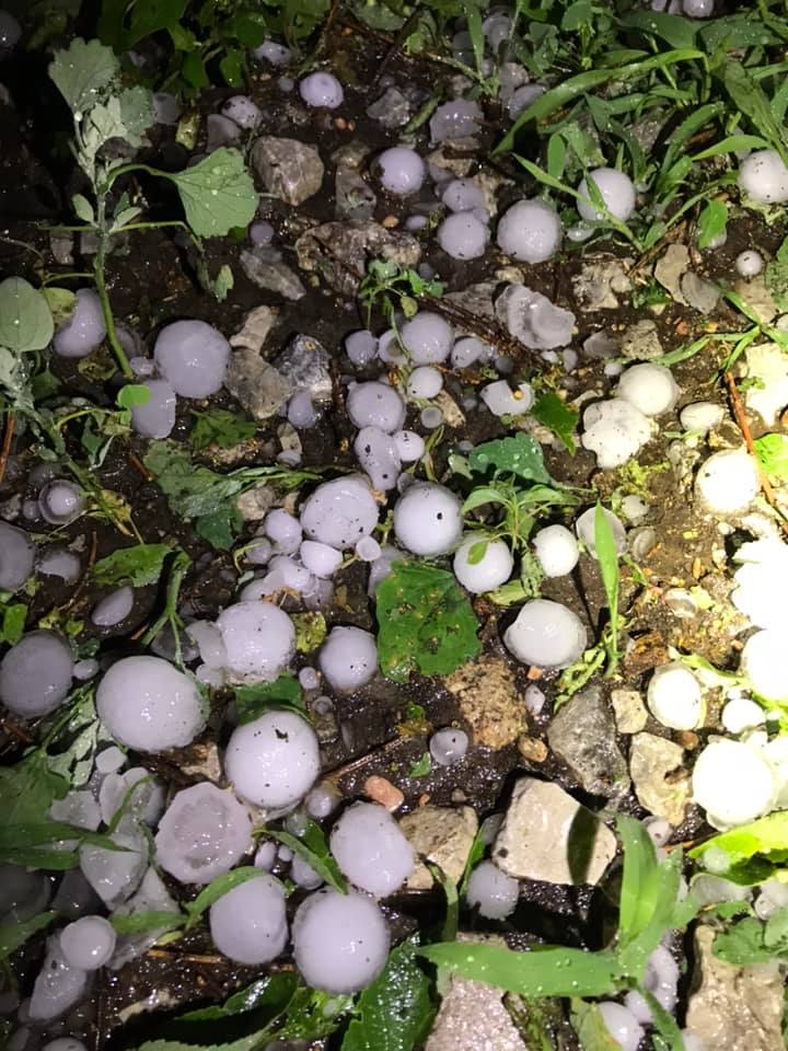 |
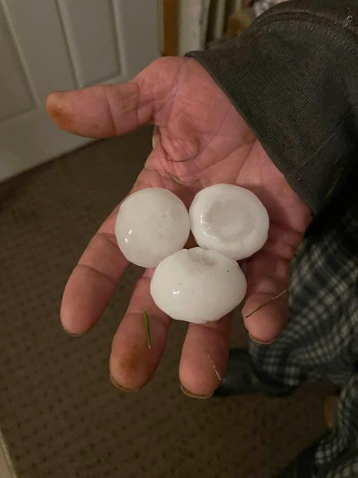
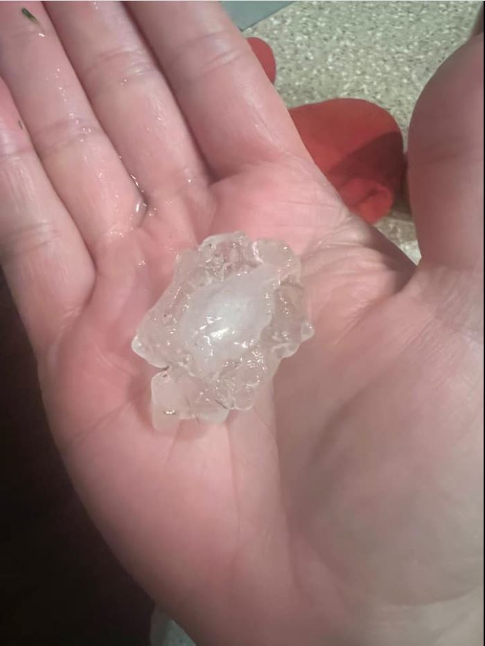
| Hail on the south side of Elwood. Photo by Donn Debbanksi. |
Hail in Loup City. Photo by Kate Glendy. |
Hail in Riverdale. Photo by Mandy Dobish. |
 |
 |
 |
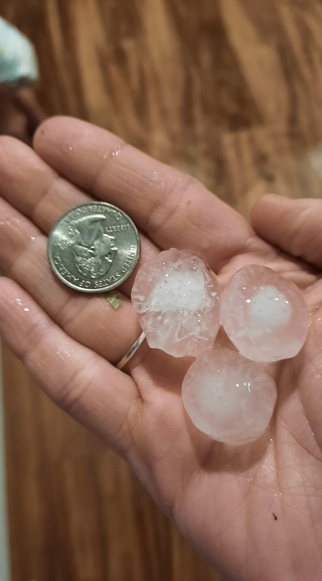
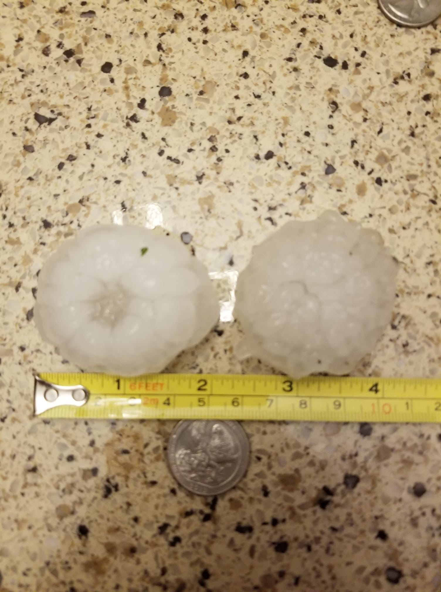
| Hail 4 W of Kenesaw. Photo by Alysha Ramsey. |
Hail near Sherman Reservior. Photo by Kelli Hoffman Mroczek. |
Hail in Trumbull. Photo by Amy Ter Harr. |
 |
 |
 |
 |
| Hail in Heartwell. Photo by Dannielle Johnson. |
Hail in Hastings. Photo by Debbie Jackson Montey. |
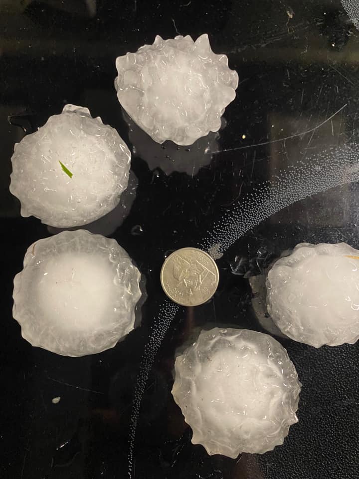
Hail at the NWS Hastings Office, located 4 N of Hastings. | |
 |
 |
 |
 |
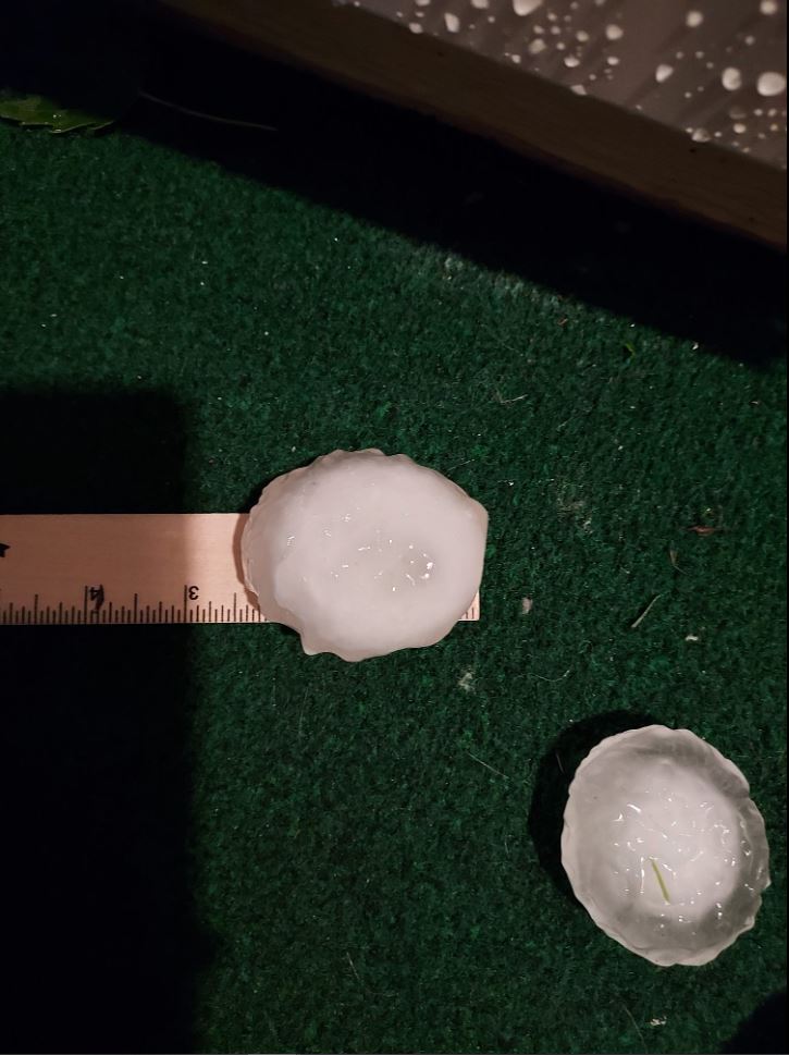
| Hail in York. Photo by Conrad Evans. |
Hail in York. Photo by Britt Manley Reynolds. |
Hail in York. Photo by Kelli Kaiser. |
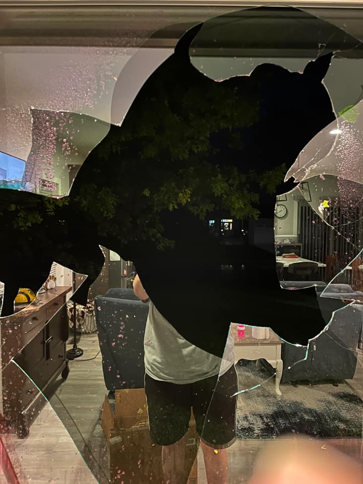
Hail damage in York. Photo by Lindsey Sutton. |
Photos & Video
Header
| Caption (source) |
Caption (source) |
Caption (source) |
Caption (source) |
Storm Reports
This map shows the severe weather reports received during this event. Click on the image for additional details.
Rainfall
This map shows estimated rainfall amounts from this event. Click for a larger version.
 |
 |
Media use of NWS Web News Stories is encouraged! Please acknowledge the NWS as the source of any news information accessed from this site. |
 |