Overview:
|
An upper level disturbance sliding across the Central Plains brought a narrow band of heavy snow to portions of the NWS Hastings coverage area (see map here) Saturday night into at least the first half of the day on Easter Sunday (also April Fool's Day). Snowfall started working into the area from the west-northwest shortly before midnight, spreading east-southeast across the heart of south central Nebraska by 2 AM. The heaviest snowfall set up in a narrow band approximately 20-30 miles wide, running roughly from Gosper County to the Fillmore/Thayer County line. In this band, snowfall totals of 6 to 11 inches were common. Thankfully, wind was not a significant factor with this snowfall. East-northeast winds topped out around 10 MPH, helping keep significant reductions in visibility confined to the narrow band of heaviest snow. While some slick spots occurred, especially into the early morning hours of Sunday/Easter morning, by mid-late afternoon snow had melted off of area roadways and travel impacts were minimal/if any.
|
 NWS Radar loop from 10 PM on Mar. 31 through 2 PM on Apr. 1. The NWS Hastings coverage area is within the orange outlined area labeled "GID" and Interstate highways are the red lines. |
Snowfall Information:
The image of storm total snow amounts below was compiled from a combination of reports from
NWS Cooperative Observers and the Community Collaborative Rain, Hail & Snow Network (CoCoRaHS)
 |
| Storm total (48 hour) snowfall image ending the morning of April 2nd. NOTE: This image a "general estimate" of totals and may not be exact at every location on this map. |
The table of storm total snow amounts below was compiled from a combination of reports from
NWS Cooperative Observers and the Community Collaborative Rain, Hail & Snow Network (CoCoRaHS)
| Location | Snowfall (inches) |
| 2 WSW Tobias | 8.0 |
| Minden | 8.0 |
| 2 ENE Juniata | 7.5 |
| Holdrege | 6.0 |
| 6 ESE Clay Center | 5.5 |
| NWS Hastings (4 N Hastings) | 5.1 |
| Geneva | 5.0 |
| 8 S Elwood | 4.7 |
| Miller | 4.6 |
| 7 E Cozad | 4.5 |
| Hebron | 4.0 |
| Kearney | 3.8 |
| Arcadia | 3.1 |
| 1 E Lexington | 2.8 |
| 4 SW Bladen | 2.5 |
| 1 ENE McCool Junction | 2.5 |
| 4 N Litchefield | 2.3 |
| Grand Island | 2.0 |
| Ord | 1.8 |
| Aurora | 1.6 |
| 3 N York | 1.5 |
The table below is of "unofficial" snow amounts from various sources, including public and social media.
| Location | Snowfall (inches) |
| Carleton | 11.0 |
| 3 N Belvidere | 10.8 |
| Bruning | 9.5 |
| 5 N Lawrence | 8.5 |
| 6 ESE Pauline | 8.5 |
| 3 S Deweese | 8.0 |
| Shickley | 8.0 |
| Axtell | 8.0 |
| 1 W Alexandria | 7.5 |
| Blue Hill | 7.5 |
| Heartwell | 7.0 |
| Davenport | 7.0 |
| 1 NNE Pauline | 6.5 |
| Gothenburg | 4.0 |
| Stockham | 4.0 |
| 1 ESE Doniphan | 4.0 |
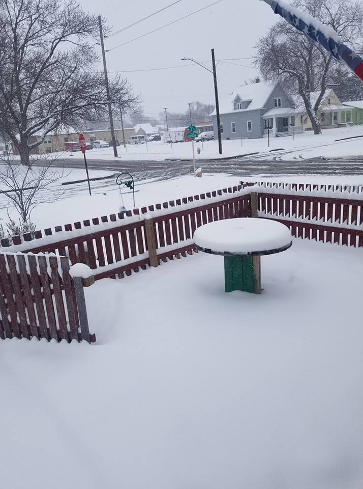
Photos:
 |
 |
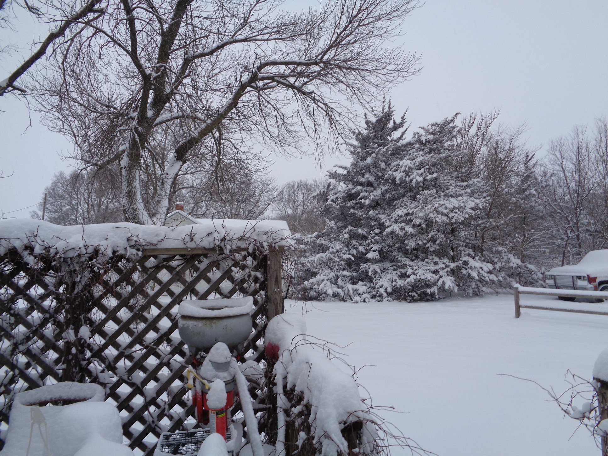 |
| Pauline, NE photo by Jesse Wirtes |
Axtell, NE photo by Shawn Thames |
Fairfield, NE photo by Don Olson |
 |
 |
 |
 |
| Shickley, NE photo by John Plock |
Pauline, NE photo by Jesse Wirtes |
Edgar, NE photo by Shayla Fuller |
Hastings, NE photo by Shawn Rossi |
 |
 |
 |
| Johnson Lake, NE photo by Kathy Larson |
Loomis, NE photo by Charles Rowell |
Phelps County photo by Joyce Voigt |
 |
 |
 |
 |
| Gibbon, NE photo by Denise Fenster |
Gothenburg, NE photo by Adam Bean |
Hastings, NE photo by Joyce Lovett |
Hastings, NE photo by Tiffany Peck |
 |
 |
 |
 |
| 2 South of Aurora, NE photo by Angie Himmelberg Ziggafoos |
3 South of Bruning, NE photo by Michelle Naiman Sybrant |
8 South of Glenvil, NE photo by Mark Haba |
Hastings, NE photo by Rachael Eizabeth Mehaffie |
 |
Media use of NWS Web News Stories is encouraged! Please acknowledge the NWS as the source of any news information accessed from this site. |
|

