A tornado developed and moved east along Highway 34 in Hamilton County during the late evening on Thursday, June 17, 2009. A photograph of the tornado on the ground approximately 5 miles west of Aurora is depicted below (photo courtesy of storm chaser Jeff Gilchrist). The tornado damaged a farm house near this same point about 5 miles west of Aurora along Highway 34. A photo of this damage is also posted below. (damage photo courtesy of storm chaser Ben McMillan.)


A tornado occurred west of Aurora, Nebraska on Wednesday evening, June 17th. The tornado touched down at the intersection of Highway 34 and Road G, and tracked east along U.S. Highway 34 for five miles, and lifted at Highway 34 and Road M. The tornado lifted about 3 miles west of Aurora. National Weather Service assessment teams surveyed the damage and rated the tornado an EF2, with winds between 111 and 135 mph.
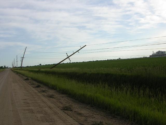
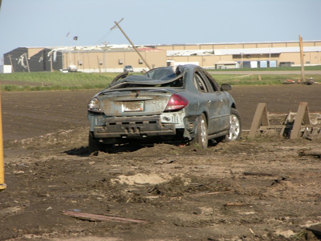
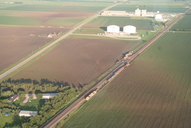
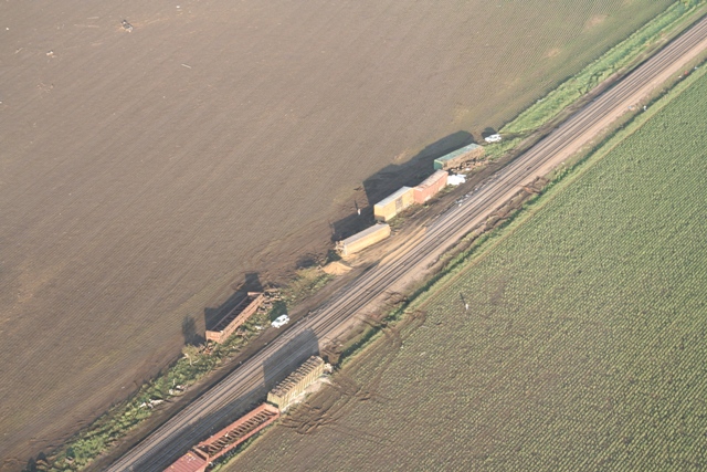
The tornado struck a farm house 4 miles west of Aurora, causing the most damage (EF2). The roof of the house was removed, and walls collapsed. Outbuildings were destroyed and crops, trees and power poles were damaged. About a dozen railroad train cars were overturned northeast of the farmstead. Damage to the Iams plant was not associated with the tornado, as the tornado tracked one quarter mile south of the plant. Strong inflow thunderstorm winds did cause roof and wall material to be blown off on parts of the Iams plant. The ethanol plant did not sustain damage as the tornado tracked north and west of the ethanol plant.
The tornado was on the ground for about 18 minutes, or from 8:59 pm to 9:17 pm local time. Photographs and video from storm spotters and storm chasers indicate the tornado was likely at least one-quarter mile wide at some point. There were no injuries associated with the tornado.
Maps of the tornado path, and damage locations are shown below. Green tornado icons depict EF0 damage, Blue tornado icons indicate EF1 tornado damage, and Red tornado icons depict EF2 tornado damage. Click on the maps to enlarge.


Below are several pictures and radar images of the supercell thunderstorm and tornado.
Photos courtesy of Jeremy Wesely (click on image for larger view)
 |
 |
 |
 |
Radar images of the supercell thunderstorm (click on images for larger view)
| Radar reflectivity image at 8:55 P.M. | Radar reflectivity image at 9:04 P.M. | Radar reflectivity image at 9:14 P.M. |
 |
 |
 |
| Storm relative motion image at 9:04 P.M. | Storm relative motion image at 9:14 P.M. |
 |
 |
Damage photographs taken by the Hastings NWS storm survey team are below. Click on the thumbnails to enlarge the pictures.
 |
 |
 |
 |
 |
 |
 |
 |
 |
 |
 |
 |
 |
 |
 |
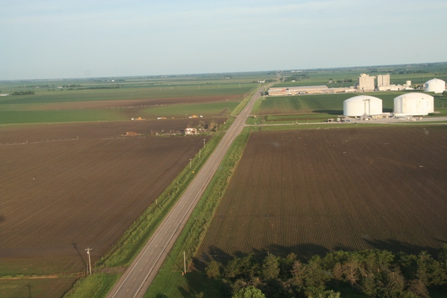
Aerail storm damage photographs taken by the Nebraska State Patrol are below. Click on the thumbnails to enlarge the pictures.
 |
 |
 |
 |
 |
 |
 |
 |
 |
 |
 |
 |
 |
 |
 |

