|
Event Summary:
Severe thunderstorm activity rolled across south central Nebraska and north central Kansas starting during the evening hours on Saturday, August 9...and although the severe threat had subsided by midnight, strong thunderstorms with locally heavy rainfall continued into the early morning hours of Sunday, August 10. Large hail, strong thunderstorm wind gusts and heavy rainfall were all observed with this thunderstorm activity. Some of the more notable storm reports include:
- Baseball-size hail 3 miles east of Lexington, NE and 2 miles south of Lebanon, KS
- 71 MPH wind gust at Hastings, NE
- 72 MPH wind gust 1 mile south of Wood River, NE
- 80 MPH wind gust 3 miles east/northeast of Bellaire, KS
Rainfall amounts of three to five inches were also reported through some locations, which resulted in flooding for some areas. The heavy rainfall also resulted in new daily rainfall records being set (for August 9th) at Grand Island and Hastings in Nebraska.
Central Nebraska Regional Airport received 2.04" of rain...most of which fell during the evening hours. This total established a new daily record for August 9th...eclipsing the previous mark of 1.52" in 1901.
Hastings Municipal Airport received 1.06" of rain...some of which fell during the pre-dawn hours and some during the evening. This total established a new daily record for August 9th...eclipsing the previous mark of 0.77" in 1895.
More significantly, a 2-day rainfall from several rounds of showers and thunderstorms on Aug. 8th-9th totaled 2.60" in Grand Island and 1.87" in Hastings. Parts of the NWS Hastings coverage area received considerably higher rain amounts of 4+ inches during this same time frame. Although there were various localized flooding issues (including significant urban flash flooding in Kearney on the night of the 8th), for the most part these were very beneficial rains that stemmed the tide of what had been a notably dry preceding month for most areas.
 |
 |
 |
| Hail Photo Submitted by Nikki Stephenson in Lebanon, KS. |
Photo of a Shelf Cloud Submitted by Nathan Moore. |
Another Photo of a Shelf Cloud Submitted by Nathan Moore. |
 |
 |
 |
| Ragged Shelf Cloud Submitted by Nathan Moore. |
Another Angle Submitted by Nathan Moore. |
Half Dollar Sized Hail in Lexington Submitted Jared Woody. |
 |
 |
 |
| Mesocyclone Photo Submitted by Dale Kaminski in Phelps County, NE. |
Another Photo of a Mesocyclone Submitted by Dale Kaminski in Phelps County, NE. |
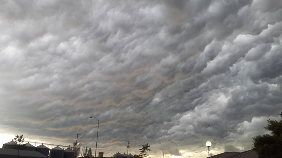
Another Cloud Photo Submitted by Hope Brown in Cozad, NE. |
Below is a map of storm reports from across the area...
|

|
|
Click on the image above to enlarge
|
|