|
Event Summary:
The mid-late afternoon hours of Sunday, April 27, 2014, featured the first three tornadoes of 2014 for not only the NWS Hastings coverage area, but also anywhere in the state of Nebraska. Most importantly, these brief EF-0 tornado touchdowns in extreme northern Franklin, northwestern York and northwestern Polk counties resulted in no reports of damage (see below for more details on tornado locations and times). In addition to the tornadoes, some storms dropped large hail up to golf ball size, primarily in parts of northern Adams County, along with western portions of Thayer and Fillmore counties.
There were essentially two primary areas of focus for severe storms. The initial activity which flared up during the 1:30 p.m.-3:00 p.m. time frame consisted of a northwest-to-southeast oriented arc of storms that generally extended from Dawson to Franklin counties, with individual storms then tracking to the north or even northwest, rotating around the path of a very strong low pressure system centered to the southwest of the area. These initial storms produced the first tornado near Upland. The second focus for severe storms was a little farther east, and consisted of more isolated/individual severe storms that developed along the Nebraska-Kansas border mainly between 2-3 p.m. and tracked northward for the next few hours. While storms in central portions of the area dropped large hail in locations near Hastings and Alda, the largest, most organized severe "storm of the day" was the eastern-most one. This supercell storm initially developed almost directly over the community of Byron in extreme southern Thayer County around 2 p.m., and then tracked almost due north through western portions of Thayer, Fillmore, York and Polk counties before finally exiting the NWS Hastings area around 6 pm. While this storm produced several reports of large hail, most notably it dropped brief tornadoes north of Bradshaw and also roughly halfway between Osceola and Clarks.
This was a fairly "classic" late-April setup for severe storms, as a very strong, deep low pressure system moved into the Central Plains. At the surface, the primary forcing mechanism for storm development was a dryline that steadily pushed northeastward across the local area during the afternoon. To the north of this boundary, moist/humid air fueled thunderstorm development, while to the south of the dryline, the presence of much drier/more stable air spared North Central Kansas from severe storm development.
A few of the "non-tornado" severe weather "highlights" from the event (see below for tornado summary):
- Golf Ball Size (1.75") hail was reported near Davenport, Juniata and Lushton.
- Quarter Size (1") hail was reported in Bryon, Bradshaw and at the Interstate 80 exit near Alda. Hail was also reported near Franklin, Ong, Hastings and Loup City.
- A measured wind gust of 62 mph was reported near Wood River.
- An estimated wind gust of 60 mph was reported in Cairo and near Waco.
 |
| Preliminary storm reports (click image) |
Tornado Information: Please note: Tornado locations are a "best approximation" and based on storm spotter/chaser reports and photographs/videos. No damage was reported and thus no official tornado path/damage surveys were performed.
Tornado #1: Just north of Upland in Franklin County
Time: Approximately 2:26-2:29 p.m.
Rating: EF-0
Tornado #2: 5 miles north of Bradshaw in York County
Time: Approximately 4:42-4:43 p.m.
Rating: EF-0
Tornado #3: 8 miles west-northwest of Osceola in Polk County
Time: Approximately 5:18 p.m.
Rating: EF-0
Here are a few photos from this event, click to enlarge:
 |
 |
| Quarter size hail starting to cover the ground north of Minden. Photo courtesy of Jeff Bulin. |
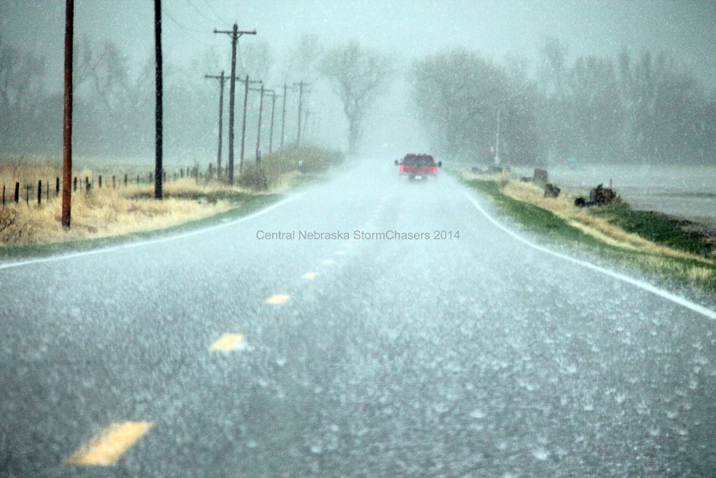
Hail starting to cover the road near Alda. Photo courtesy of Central Nebraska Stormchasers. |
 |
 |
 |
| Tornado near Upland. Photo courtesy of Jeremy Wesely. |
Tornado near Bradshaw.
Photo courtesy Jeffrey Gonzales. |
Wall cloud near Lushton. Photo courtesy of Mike Lachendro. |
 |
 |
| Tornado 8 WNW of Osceola. Photo courtesy of Jesse Risley. |
Tornado warned storm over Polk County, taken east of Aurora. Photo courtesy of
Diane Haden. |
 |
| Visible satellite image showing thunderstorm development and dust. |
|


