Scattered severe thunderstorms are possible across portions of the northern High Plains this afternoon and evening. Severe wind gusts are the primary hazard. Gusty winds and low relative humidity will contribute to critical fire weather conditions across parts of the northern Great Plains and Great Basin today and the southern High Plains on Thursday. Read More >
Winter Storms and Blizzards
![]()
 |
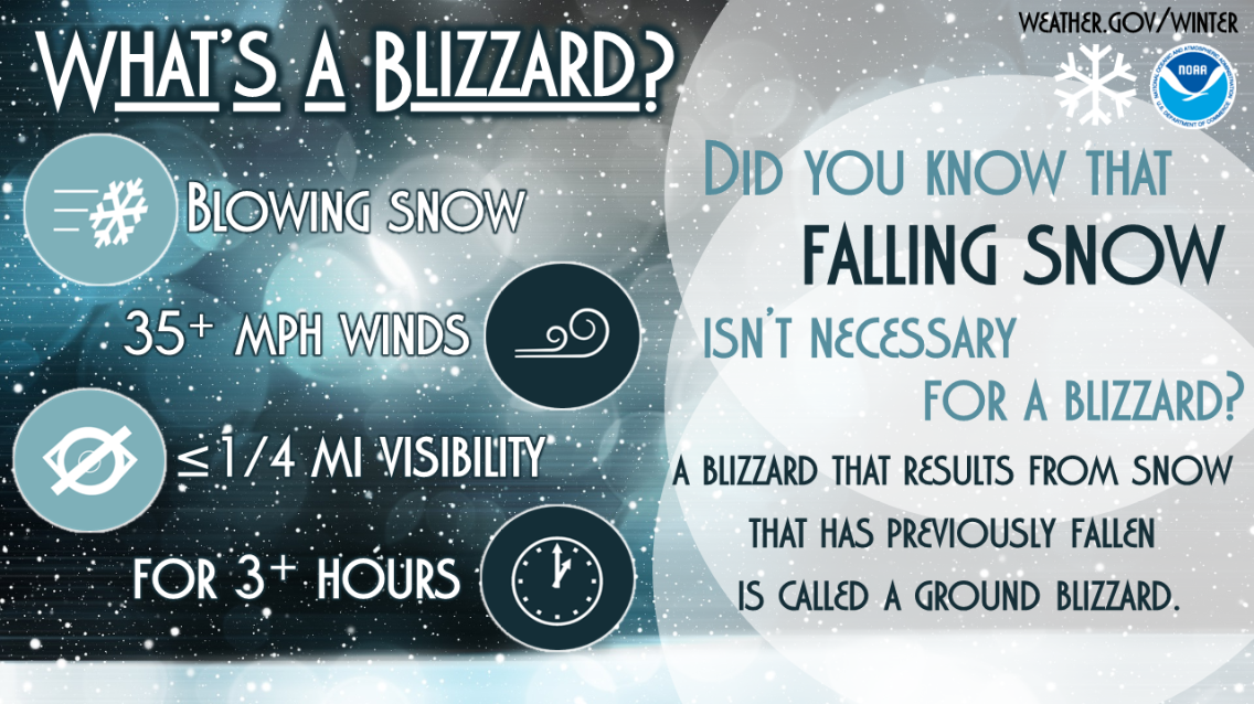
Blizzards are dangerous winter storms that are a combination of blowing snow and wind resulting in very low visibilities. While heavy snowfalls and severe cold often accompany blizzards, they are not required. Sometimes strong winds pick up snow that has already fallen, creating a ground blizzard.
Officially, the National Weather Service defines a blizzard as a storm which contains large amounts of snow OR blowing snow, with winds in excess of 35 mph and visibilities of less than 1/4 mile for an extended period of time (at least 3 hours).
Blizzard conditions often develop on the northwest side of an intense storm system. The difference between the lower pressure in the storm and the higher pressure to the west creates a tight pressure gradient, or difference in pressure between two locations, which in turn results in very strong winds. These strong winds pick up available snow from the ground, or blow any snow which is falling, creating very low visibilities and the potential for significant drifting of snow.
In the 1870's, an Iowa newspaper used the word "blizzard" to describe a snowstorm. Previously, the term blizzard referred to a canon shot or a volley of musket fire. By the 1880's, the use of the word blizzard was used by many across the United States and in England.
The upper Midwest and Great Plains of the United States tends to be the region that experiences blizzards most often. With few trees or other obstructions to reduce wind and blowing snow, this part of the country is particular vulnerable to blizzards. However, blizzards can occur in any location that has a climate that experiences snowfall. Northern 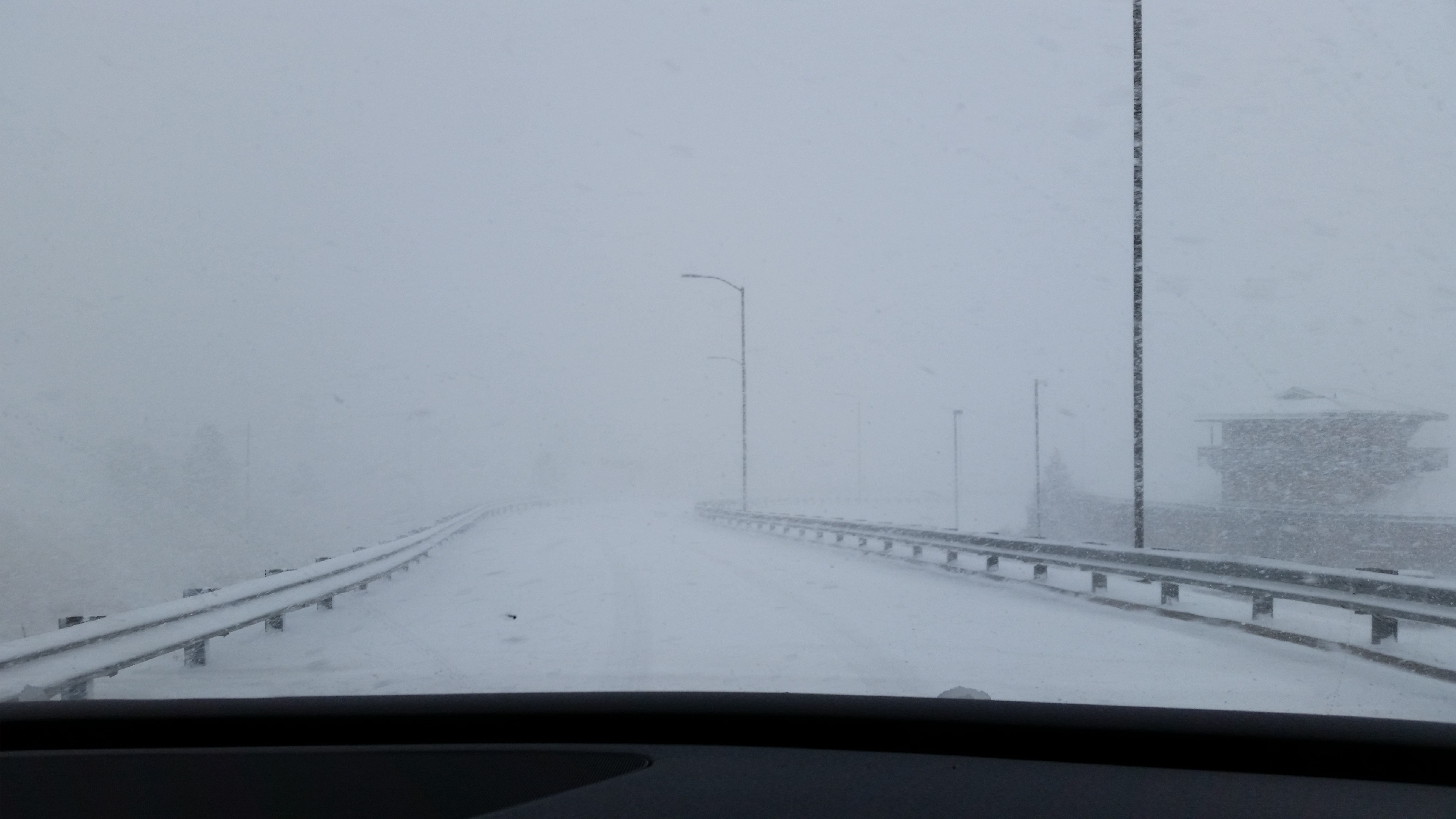 Arizona can experience blizzard conditions when a strong low pressure system moves across southern Arizona and high pressure builds strongly into the Great Basin. However, these conditions are rarely met due to the infrequency of strong low pressure systems moving through the state.
Blizzards can create life-threatening conditions. Traveling by automobile can become difficult or even impossible due to "whiteout" conditions and drifting snow. Whiteout conditions occur most often with major storms that produce a drier, more powdery snow. In this situation, it doesn't even need to be snowing to produce whiteout conditions, as the snow which is already on the ground is blown around, reducing the visibility to near zero at times.
The strong winds and cold temperatures accompanying blizzards can combine to create another danger. The wind chill factor is the amount of cooling one "feels" due to the combination of wind and temperature. During blizzards, with the combination of cold temperatures and strong winds, very low wind chill values can occur. It is not uncommon in the Midwest to have wind chills below -60F during blizzard conditions.
Blizzards also can cause a variety of other problems. Power outages can occur due to strong winds and heavy snow. Pipes can freeze and regular fuel sources may be cut off.
