|
Corn and Wheat GDD - images Courtesy NDSU NDAWN program |
||||||||||||||||||
|
ND State wide deep soil temps courtesy NWS Bismarck/NDAWN (updated once daily) Soil temperature data from the North Dakota Agricultural Network. Courtesy of NDSU Soils Science Department. Minnesota Climatology Working Group (DNR State Climatologist Office) |
||||||||||||||||||
|
Recent Temperature and Precipitation Data |
||||||||||||||||||
| High Plains Regional Climate Center - Lincoln Nebraska (Monthly Temperature & Precipitation Departure) |
||||||||||||||||||


|
||||||||||||||||||
  |
||||||||||||||||||
|
|
||||||||||||||||||
| Midwest Regional Climate Center - Champaign, Illinois | ||||||||||||||||||
| 30 day departure from normal temperature, precipitation & Modified Growing Degree Days | ||||||||||||||||||
   |
||||||||||||||||||
|
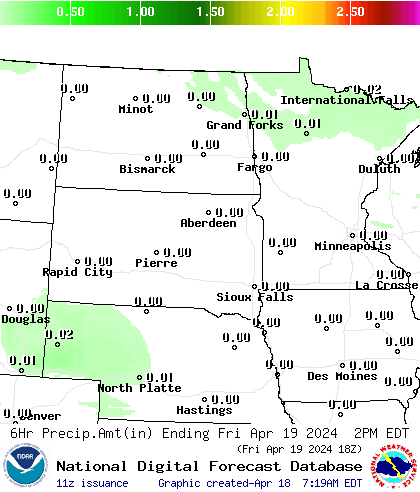
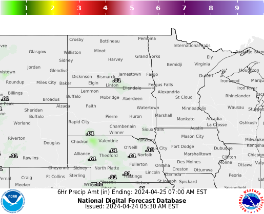
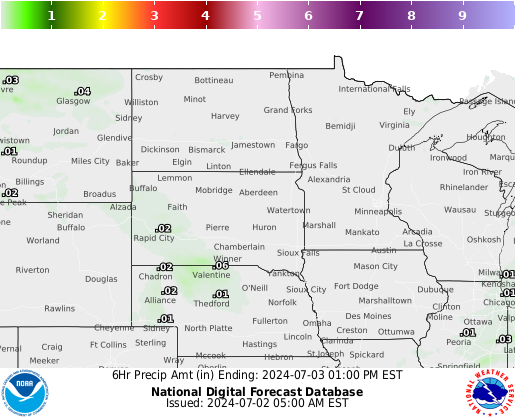
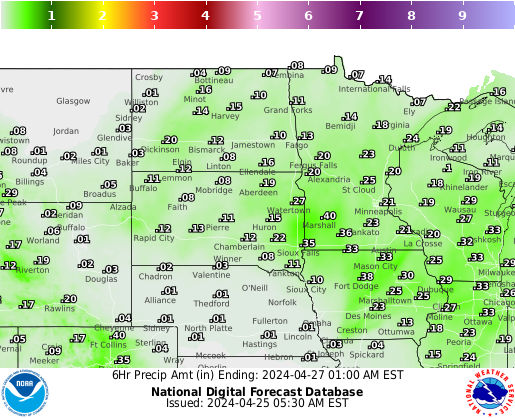
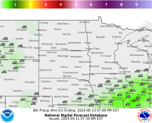
Local WFO Precipitation Forecasts through 60 hours
|
||||||||||||||||||
|
|
||||||||||||||||||
|
|
||||||||||||||||||
Latest National and Regional Drought Information (Updated weekly)
US Drought Monitor and forecast |
||||||||||||||||||
| What is the Palmer Drought Severity Index (PDSI) | ||||||||||||||||||
   |
||||||||||||||||||
| North Dakota (left) - Minnesota (middle) -South Dakota (right) Drought Monitor | ||||||||||||||||||
Forecast Reference Evapotranspiration (FRET) |
||||||||||||||||||
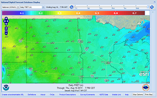 |
Daily FRET Total Weekly FRET |
|||||||||||||||||
The reference evapotranspiration forecast is the expected amount of daily reference evapotranspiration in hundredths of an inch for the next 7 days and a total reference of evapotranspiration for the 7 day period. The forecast is calculated using the ASCE (American Society of Civil Engineers) Standardized Reference Evapotranspiration Equation for a tall crop with an approximate height of 0.5 meters (similar to full cover alfalfa). This equation uses the National Weather Service forecast of temperature, relative humidity, wind, and cloud cover for inputs. |
||||||||||||||||||


