Grand Forks, ND
Weather Forecast Office
Overview
In the early morning hours on Friday June 11th 2021 (3:00am) a line of severe thunderstorms moved into the Devils Lake Basin, stretching down toward the James River Valley. These storms where moving rather quickly toward the east around 50-55mph. Warnings were issued from the international border toward South Dakota, with damaging winds being the primary threat.
Heavy rainfall and numerous wind reports along and west of the Red River came in, with isolated hail reports of quarter and half dollar being reported in Cass County. Highest wind reports were in Steele County, with 80-85 mph being measured through NDAWN or local spotters. As the storms moved into the Red River Valley they began to weaken and become unorganized. Slowly storms dissipated as they moved into lake country in Minnesota. Rainfall estimates across eastern North Dakota, NW Minnesota, and West Central Minnesota ranged from 0.5 inches to just under 2.0 inches.
Wind & Hail:
Green H's are Hail reports, Blue W's are Wind reports, and Red T's are for Tornado reports.
.PNG)
To see more storm reports from this day, please visit the SPC Storm Report Archive.
Photos & Video
 |
 |
 |
|
Uprooted tree - 5.4 WNW Hope, CoCoRaHS station Samantha Brekke |
Snapped tree laying on top of car - Moorhead, MN Scott Nordstrom |
Uprooted tree - Reynolds, ND Kristin Elizabeth Nelson |
 |
|
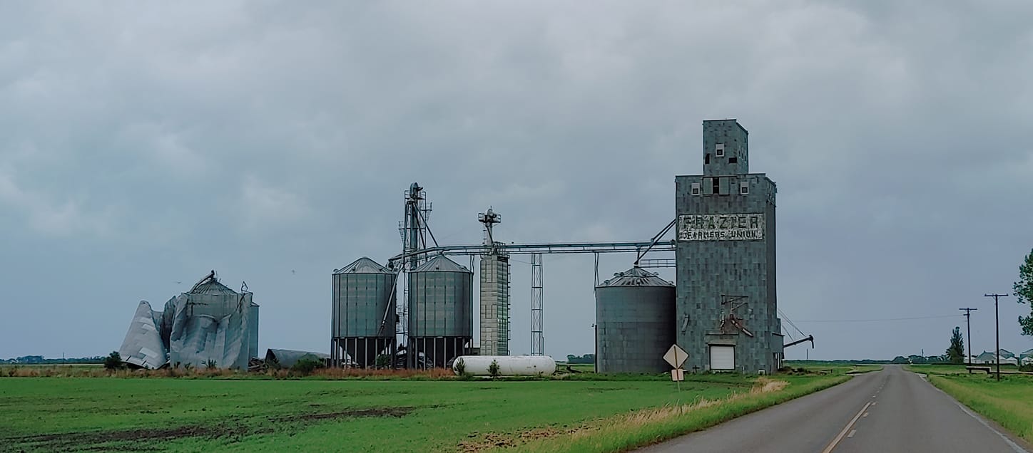
Damage to Grain Silos - Wimbledon, ND Kim Toth |
Radar
 |
Media use of NWS Web News Stories is encouraged! Please acknowledge the NWS as the source of any news information accessed from this site. |
|
US Dept of Commerce
National Oceanic and Atmospheric Administration
National Weather Service
Grand Forks, ND
4797 Technology Circle
Grand Forks, ND 58203-0600
701-772-0720
Comments? Questions? Please Contact Us.

