Overview
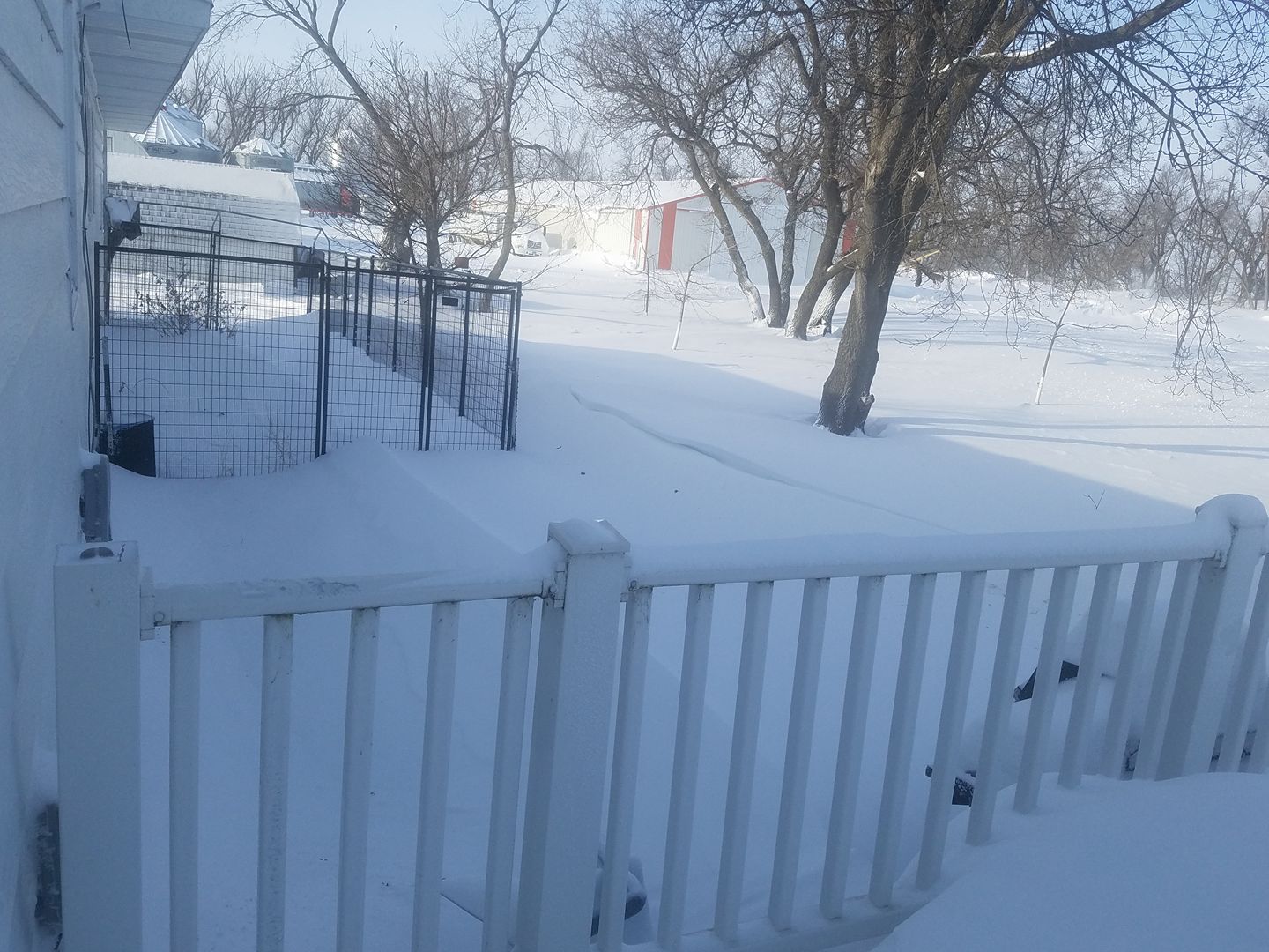
A series of weather systems brought a couple rounds of heavy snowfall to the region to start the new year. A narrow band of heavy snow affected southeast North Dakota and adjacent portions of Minnesota during the early morning hours of January 2nd, with lighter snowfall elsewhere. A brief break during the afternoon hours was replaced by heavy snow across northeast North Dakota and northwest Minnesota by the late afternoon hours of January 2nd, which continued through the overnight hours. Increasing winds led to reduced visibility and significant drifting of snow during the early morning hours of January 3rd.Wind:
...Wind Reports...

Location                     Speed     Time/Date
Grafton ND (APT)             46 MPH    0335 AM 01/03
St Vincent MN (DOT)          45 MPH    0900 AM 01/03
Crookston MN (APT)           43 MPH    0814 AM 01/03
Donaldson MN (DOT)           43 MPH    0905 AM 01/03
Bowesmont ND (DOT)           42 MPH    0908 AM 01/03
Cavalier ND (APT)            41 MPH    0355 AM 01/03
Grand Forks ND (APT)         41 MPH    0352 AM 01/03
Cando ND (APT)               40 MPH    0935 PM 01/02
Langdon ND (APT)             40 MPH    1215 AM 01/03
Cooperstown ND (APT)         40 MPH    0255 AM 01/03
Devils Lake ND (APT)         39 MPH    1230 AM 01/03
Hallock MN (APT)             39 MPH    0734 AM 01/03
Mahnomen MN (DOT)            39 MPH    1120 AM 01/03
E Grand Forks MN (DOT)       39 MPH    1112 AM 01/03
Mahnomen MN (APT)            38 MPH    1015 AM 01/03
Grand Forks ND (DOT)         37 MPH    1108 AM 01/03
Grand Forks ND (AFB)         37 MPH    0409 AM 01/03
Thief R Falls MN (APT)       37 MPH    1056 AM 01/03
Walhalla ND (APT)            36 MPH    0255 AM 01/03
Detroit Lakes MN (APT)       36 MPH    1234 PM 01/03
Fargo ND (APT)               35 MPH    0758 AM 01/03
Fosston MN (APT)             35 MPH    1054 AM 01/03
Gwinner ND (APT)             35 MPH    0615 AM 01/03
Karlstad MN (DNR)            35 MPH    1106 AM 01/03
Dilworth MN (DOT)            35 MPH    1130 AM 01/03
Rothsay MN (DOT)             35 MPH    0730 AM 01/03
Gatzke MN 2 ENE              35 MPH    1215 PM 01/03
Buffalo ND 7 N (DOT)         35 MPH    0908 AM 01/03
Elbow Lake MN (APT)          35 MPH    1234 PM 01/03
Detroit Lakes MN (DNR)       34 MPH    1220 PM 01/03
Hendrum MN (DOT)             34 MPH    0736 AM 01/03
Lake Park MN (DOT)           34 MPH    1000 AM 01/03
Brooks MN (DOT)              34 MPH    1030 AM 01/03
Emerado ND (DOT)             34 MPH    0823 AM 01/03
Wahpeton ND (DOT)            34 MPH    0708 AM 01/03
Park Rapids MN (APT)         33 MPH    1145 AM 01/03
Baudette MN (APT)            32 MPH    1114 AM 01/03
Wahpeton ND (APT)            32 MPH    1155 AM 01/03
Flag Island MN               32 MPH    1154 AM 01/03
Moorhead MN (APT)            32 MPH    1134 AM 01/03
Badger MN (DOT)              32 MPH    1140 AM 01/03
Buxton ND 4 S (DOT)          32 MPH    1208 PM 01/03
Devils Lake DOT Hwy 20       32 MPH    0808 AM 01/03
Fergus Falls MN (APT)        31 MPH    1134 AM 01/03
Tenney MN (DOT)              31 MPH    1100 AM 01/03
Warroad MN (APT)             31 MPH    1234 PM 01/03
Mcleod ND 3 N                31 MPH    0649 AM 01/03
Wadena MN (APT)              30 MPH    1235 PM 01/03
Roseau MN (APT)              30 MPH    0954 AM 01/03

Observations are collected from a variety of sources with varying
equipment and exposures. Not all data listed are considered official.
Snow
...Snowfall Reports...

Location                     Amount
Roseau                       13.0 in
Warroad                      13.0 in
Holt                         13.0 in
Baudette                     13.0 in
1 SE Lucca                   12.0 in
Salol                        12.0 in
5 SSW Casselton              10.4 in
Fargo                        10.1 in
Park River                   10.0 in
Greenbush                    10.0 in
Mcintosh                     10.0 in
Grand Forks                  9.2 in
Hannaford                    9.0 in
5 NW Wylie                   9.0 in
Moorhead                     9.0 in
5 WNW High Landing           8.9 in
2 N Moorhead                 8.6 in
5 SW Grand Forks             8.5 in
Esmond                       8.2 in
3 SSE North River            8.1 in
Lisbon                       8.0 in
Michigan                     8.0 in
Argyle                       8.0 in
4 N Argyle                   8.0 in
Devils Lake                  7.5 in
Rothsay                      7.5 in
Bluffton                     7.5 in
4 W Dunvilla                 7.2 in
4 SSW Blabon                 7.1 in
Sebeka                       7.0 in
Crookston                    7.0 in
New York Mills               7.0 in
Warren                       7.0 in
3 N Ottertail                6.8 in
Wadena                       6.7 in
Starkweather                 6.5 in
Bemidji                      6.3 in
Breckenridge                 6.2 in
Ada                          6.2 in
6 SE Penn                    6.0 in
2 WSW Menahga                6.0 in
2 NNW March                  6.0 in
2 NW Big Mcdonald Lake       5.9 in
Abercrombie                  5.8 in
Mcleod                       5.5 in
3 S Wadena                   5.5 in
Two Inlets                   5.5 in
Lidgerwood                   5.4 in
4 E Turtle River             5.2 in
Mayville                     5.1 in
5 NNW Cormorant              5.0 in
Pembina                      4.9 in
6 SE Maple Bay               4.7 in
Karlstad                     4.3 in
Havana                       3.5 in

Observations are collected from a variety of sources with varying
equipment and exposures. Not all data listed are considered official.
Photos:
|
Roseau, MN (Aaron Lefor) |
 |
.jpg) |
 |
 |
| Parking Lot in Grand Forks (NWS) |
Ranier, MN (Sylvia Johnson) |
McCanna, ND (Tiffany Stromberg) |
Salol, MN (Jim Stuart) |
Radar:
| 6pm Sunday to 6am Monday | 6am Monday to 6pm Monday | 6pm Monday to 6am Tuesday |
 |
Media use of NWS Web News Stories is encouraged! Please acknowledge the NWS as the source of any news information accessed from this site. |
 |