Overview
Tornadoes: There were several tornado segments on June 22, 1919, the exact number and details are unknown. Therefore, this is just an estimation, mainly from newspaper reports.
Segment 1 - Around 440 pm, four miles northwest of Fergus Falls, a tornado struck a westbound passenger train with possible F3 intensity. The yellow line in the lower left is the estimated tornado path. The black rectangles estimate the passenger train and the blue curvy line is the Pelican River. The representation to the lower right is how the train may have looked after the tornado struck it. There were no fatalities, but there were multiple injuries.
Segment 2 - Around 445 pm, an F5 tornado touched down about one-half mile north-northwest of Fergus Falls, tracked through the city, then lifted about 10 miles east of Fergus Falls. The purple shaded area is its approximate path through the city. The tornado killed 56 people (later 1 suicide) and injured hundreds of others. (Note: the river running through Fergus Falls used to be called the Red River, it is now called the Otter Tail River)
The Enhanced Fujita (EF) Scale classifies tornadoes into the following categories:
| EF0 Weak 65-85 mph |
EF1 Moderate 86-110 mph |
EF2 Significant 111-135 mph |
EF3 Severe 136-165 mph |
EF4 Extreme 166-200 mph |
EF5 Catastrophic 200+ mph |
 |
|||||
Description
This is the official National Weather Service account of the tornado, from the June 1919 issue of Monthly Weather Review, Page 392.
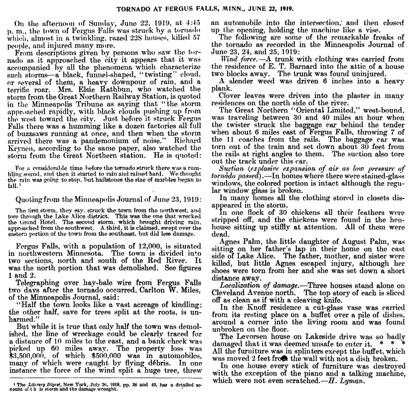
Other Segments of the Monthly Weather Review article:
 |
 |
 |
 |
| Page 392 (Monthly Weather Review) |
Page 392 (Monthly Weather Review) |
Page 393 (Monthly Weather Review) |
Page 393 (Monthly Weather Review) |
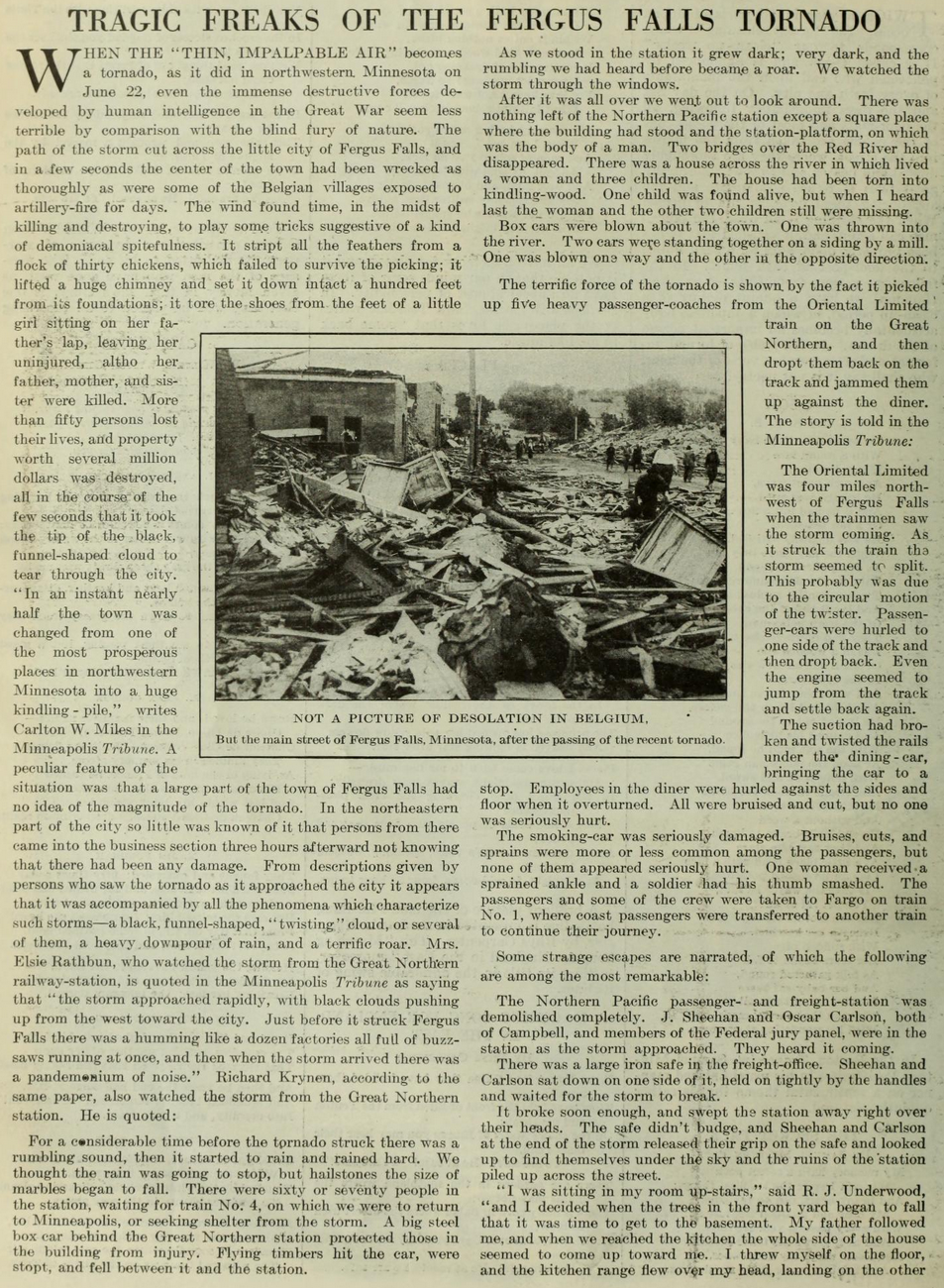
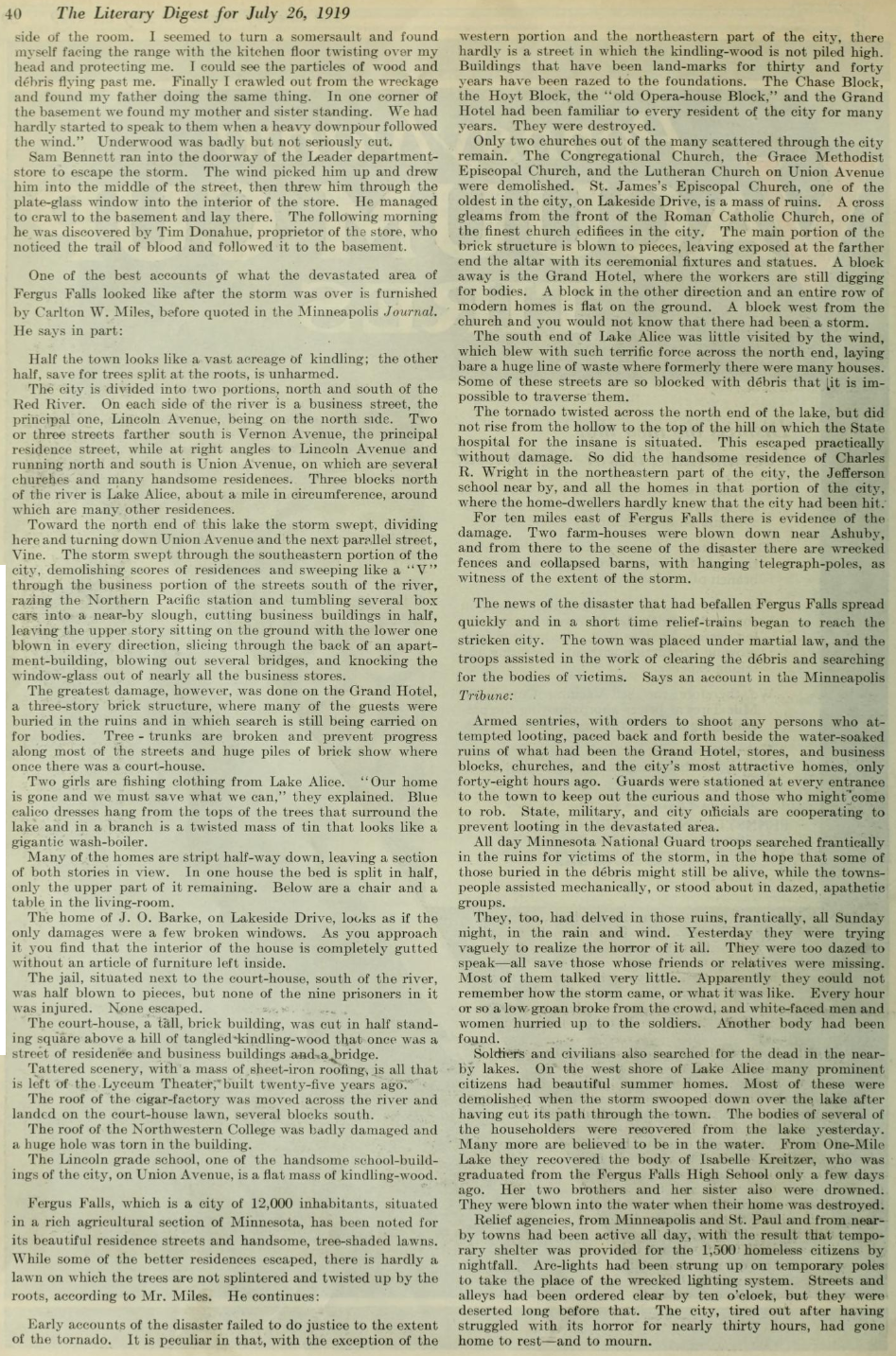
This is an account of the tornado from the July 26, 1919 issue of The Literary Digest (New York), pages 38 and 40. Below is page 38.
Literary Digest page 40.
The account below is from the Minneapolis Tribune, Monday, June 23, 1919, Page 1.
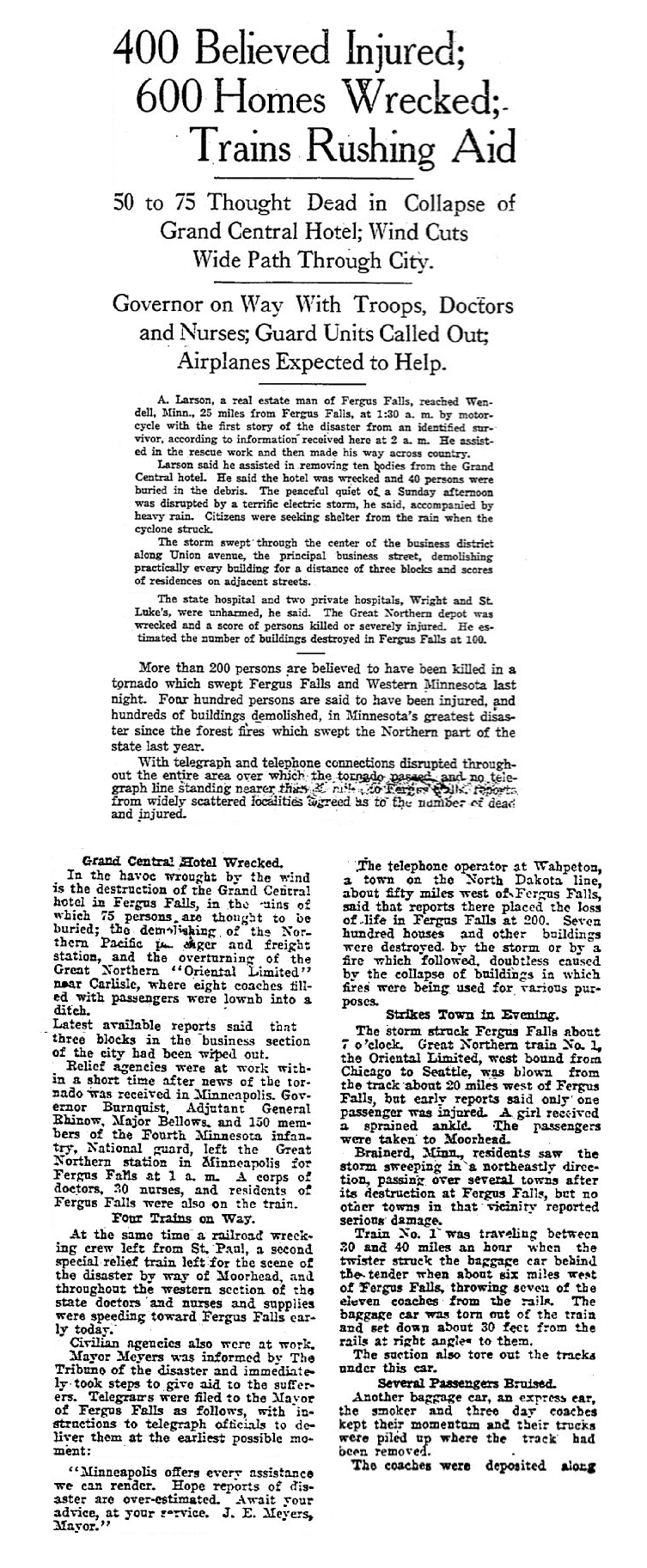
Continuation of the Minneapolis Tribune, Monday, June 23, 1919, Page 2.

The account below is from the Minneapolis Tribune, Tuesday, June 24, 1919, Page 1.
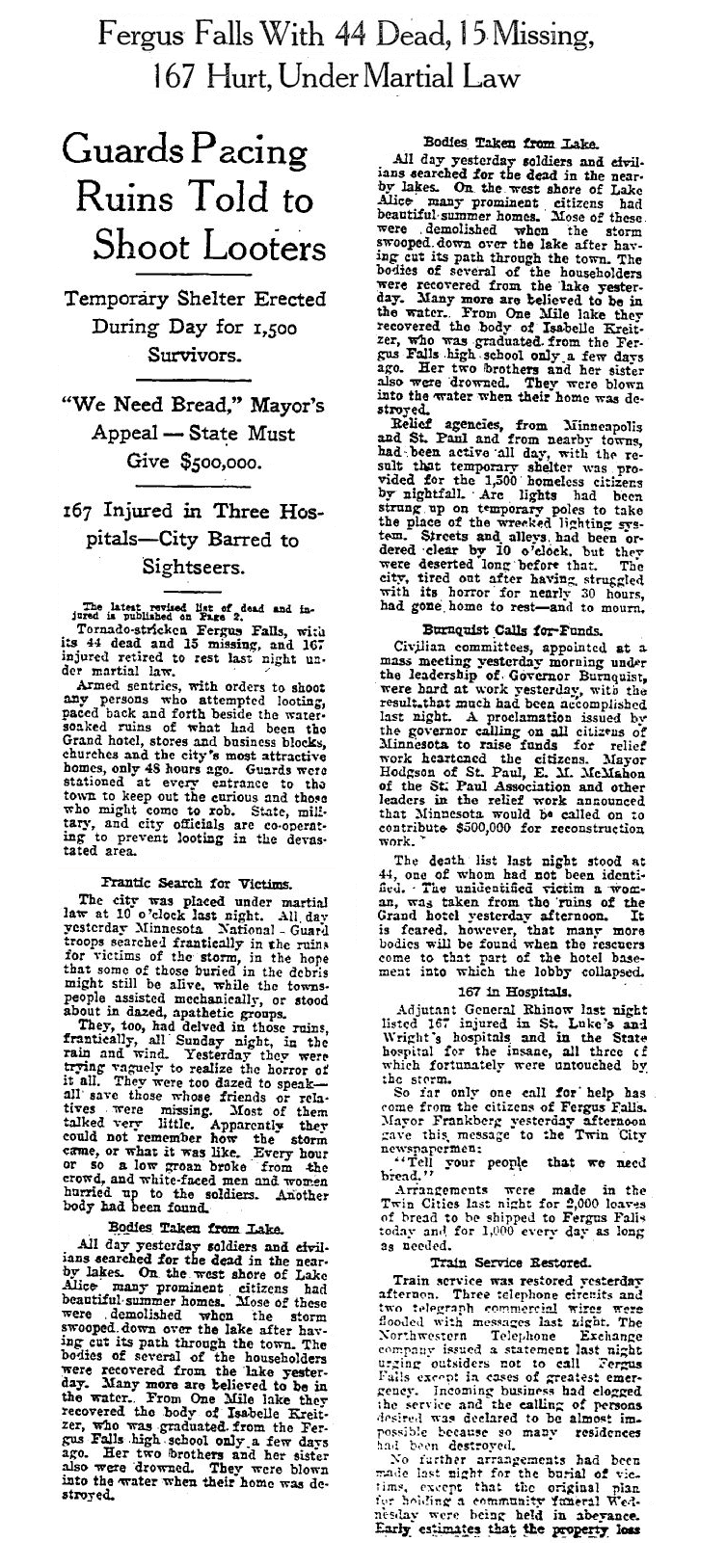
Continuation of the Minneapolis Tribune, Tuesday, June 24, 1919, Page 2.

Continuation of the Minneapolis Tribune, Tuesday, June 24, 1919, Page 2.
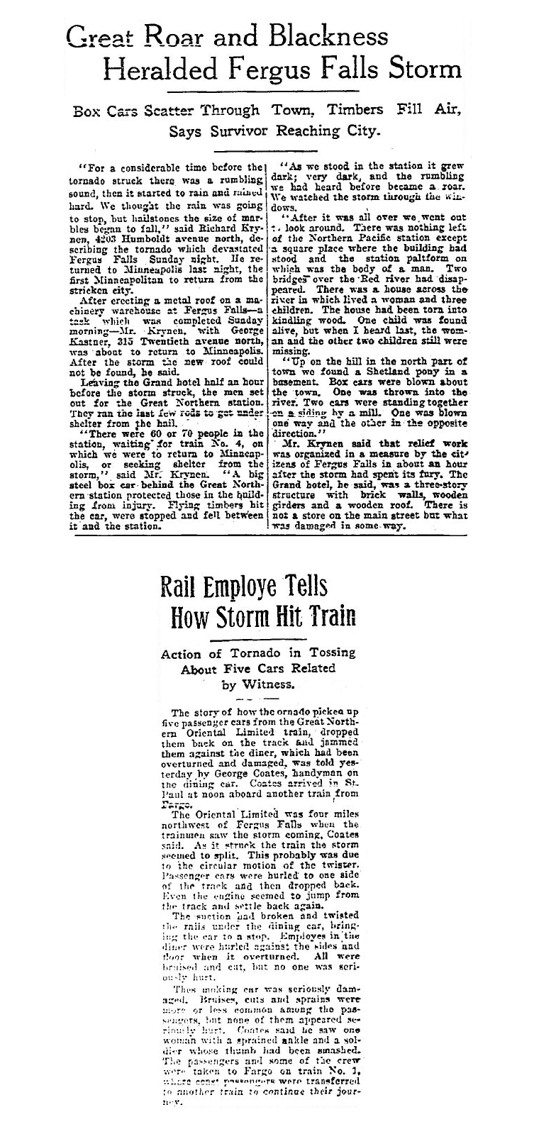
The account below is from the Minneapolis Tribune, Wednesday, June 25, 1919, Page 1.
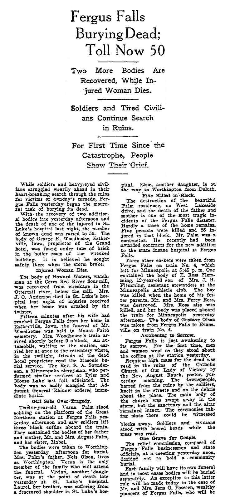
Continuation of the Minneapolis Tribune, Wednesday, June 25, 1919, Page 2.
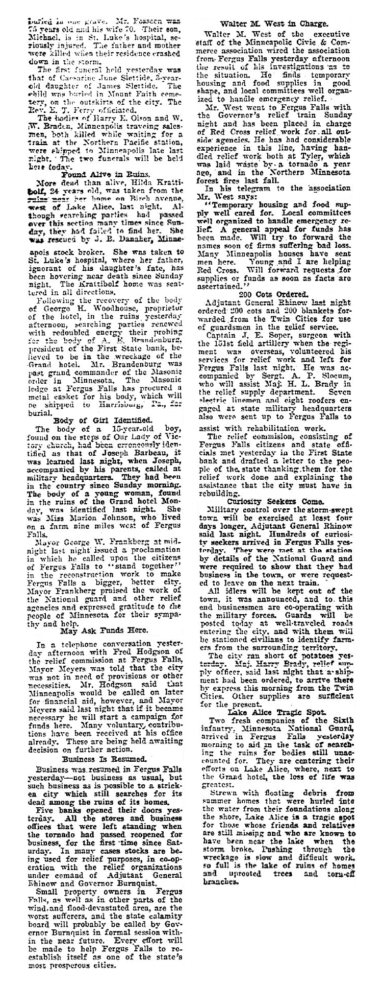
The account below is from the Minneapolis Tribune, Thursday, June 26, 1919, Page 1.
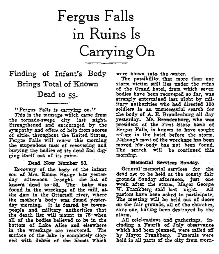
Continuation of the Minneapolis Tribune, Thursday, June 26, 1919, Page 2.
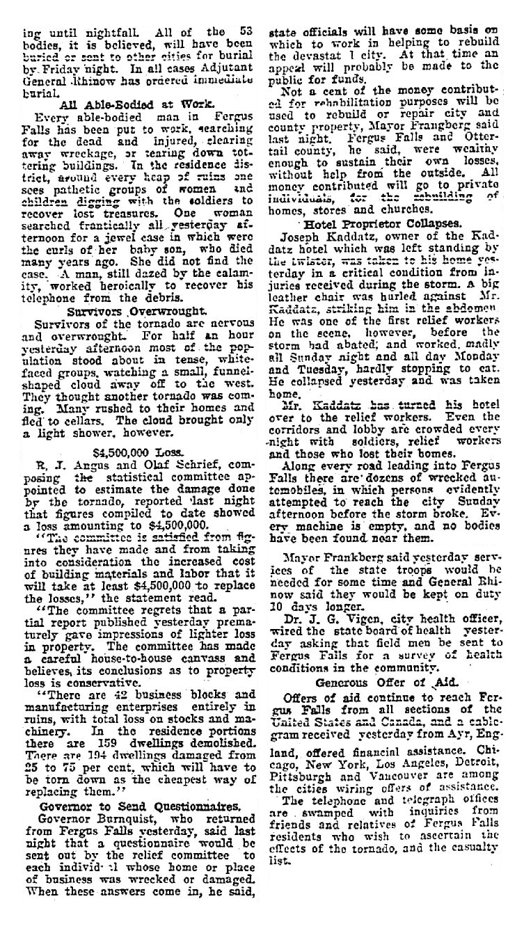
The account below is from the Minneapolis Tribune, Friday, June 27, 1919, Pages 1 & 2.
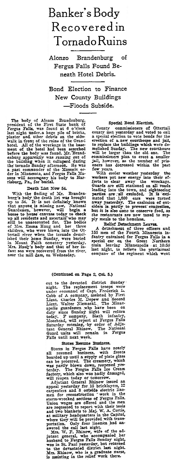
Photos & Video
Walter T. Oxley Panoramic Photo of Fergus Falls 1 (in order to see it with any detail, it was divided into the 4 segments below)
 |
 |
 |
 |
| Segment 1 (W. T. Oxley) |
Segment 2 (W. T. Oxley) |
Segment 3 (W. T. Oxley) |
Segment 4 |
Walter T. Oxley Panoramic Photo of Fergus Falls 2 (in order to see it with any detail, it was divided into the 4 segments below)
 |
 |
 |
 |
| Segment 1 (W. T. Oxley) |
Segment 2 (W. T. Oxley) |
Segment 3 (W. T. Oxley) |
Segment 4 |
Other Photos
 |
 |
 |
 |
| N. P. Railroad Yards (postcard) |
Lutheran Church (postcard) |
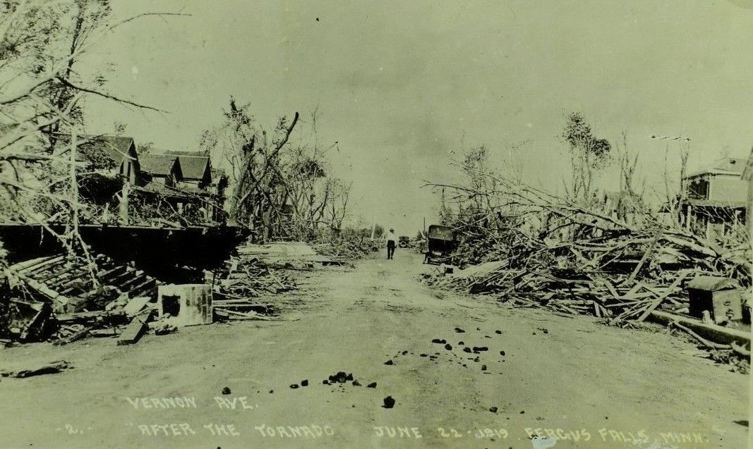
Vernon Avenue (postcard) |
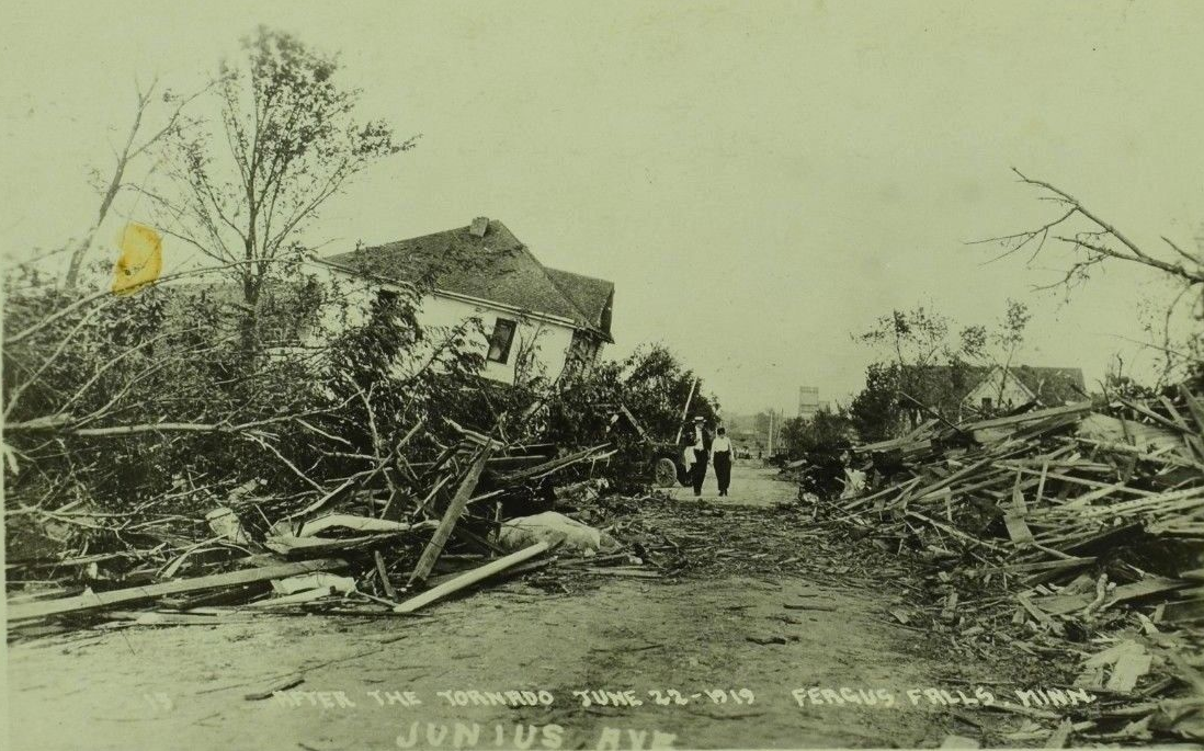
Junius Avenue |
 |
 |
 |
 |
| Hunt's Cigar Factory (postcard) |
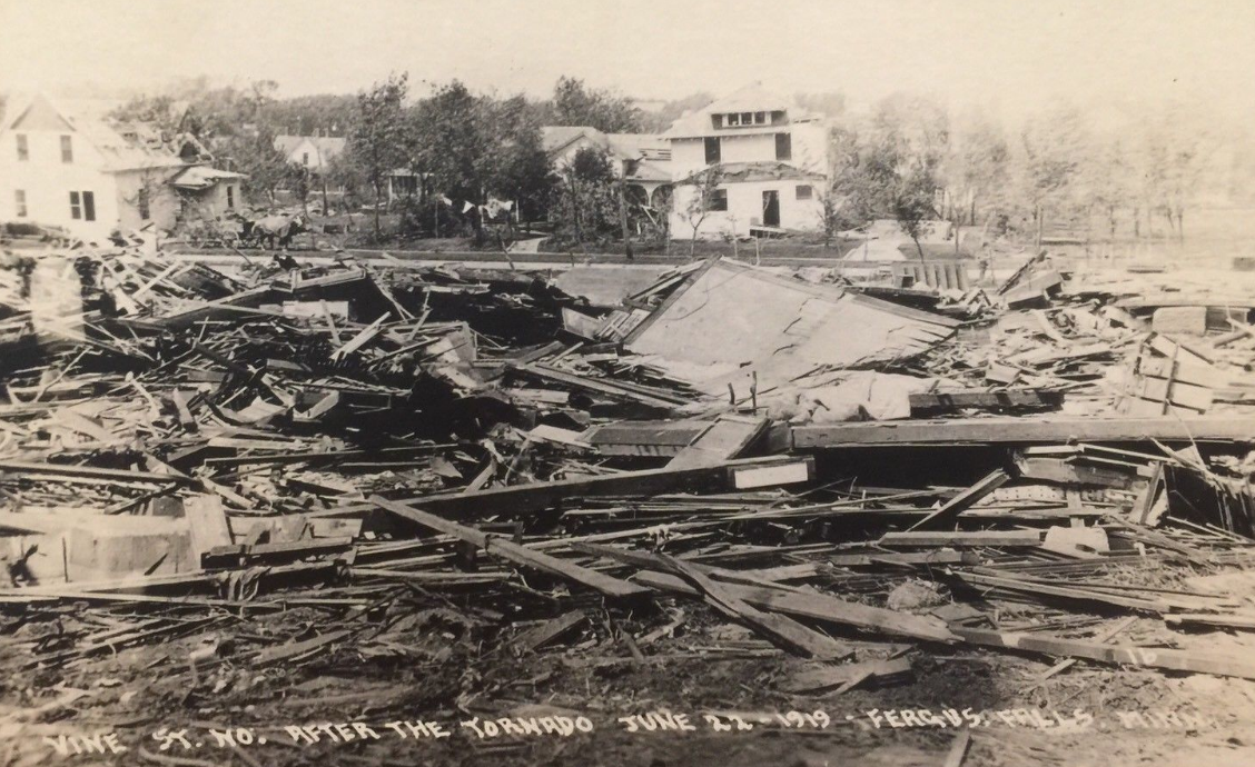
Vine Street (postcard) |
Norwegian Lutheran Church (postcard) |
Grand Hotel |
 |
 |
 |
 |
| Federated Church (postcard) |
Lake Alice (postcard) |
Catholic Church (postcard) |
Vernon Avenue |
 |
 |
 |
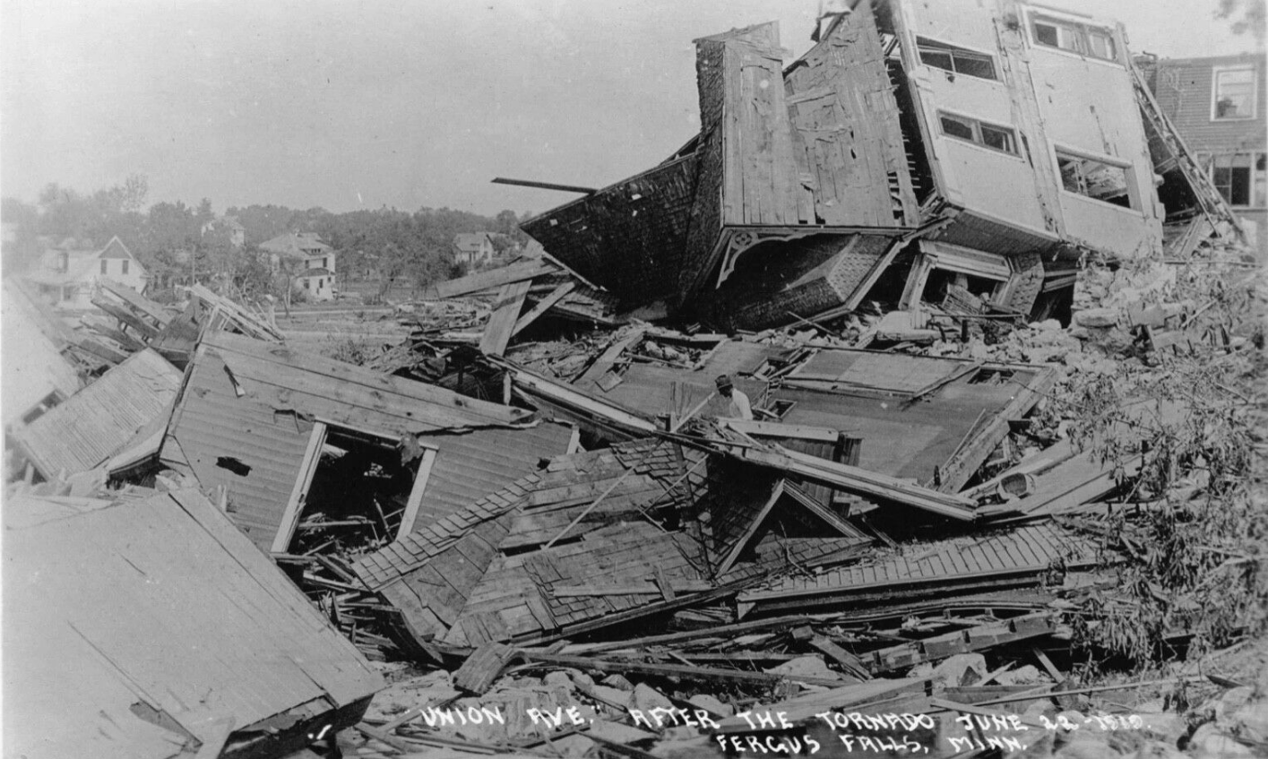 |
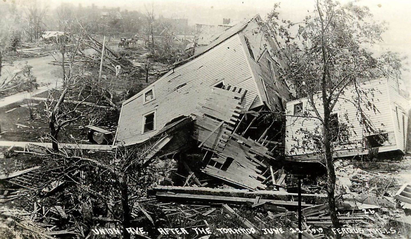
| Union Avenue (postcard) |
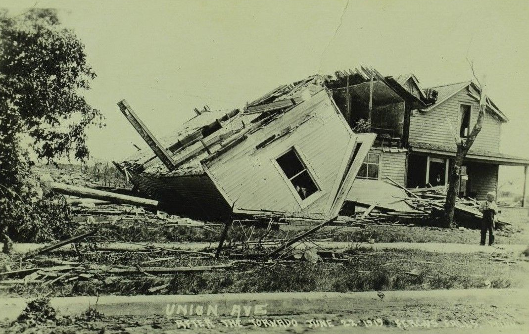
Union Avenue (postcard) |
Red River Mill (postcard) |
Union Avenue |
 |
 |
 |
 |
| Grand Hotel (postcard) |
Grand Hotel Before Storm (postcard) |
Grand Hotel (postcard) |
Courthouse & Jail |
Storm Reports
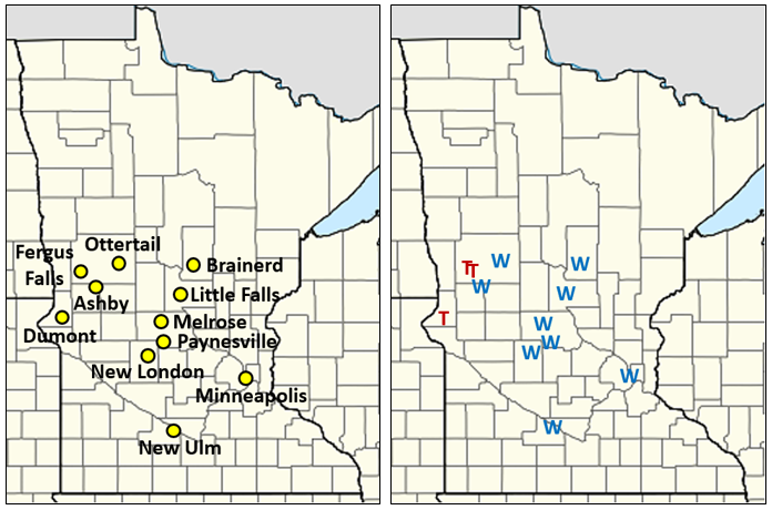
The map in the lower left shows the points where damage was found from Sunday, June 22, 1919. The map in the lower right shows what type of damage occurred. A red T is a tornado report and a blue W is a thunderstorm wind report. These are compiled from newspaper reports, so they may not be completely accurate.

Environment
These 3 maps show highs, lows, and rainfall amounts for the day before, day of, and day after the Fergus Falls tornado.
 |
 |
 |
| Figure 1: June 21, 1919 | Figure 2: June 22, 1919 | Figure 3: June 23, 1919 |
These 3 maps show the 6 pm surface map from the Monthly Weather Review article, colorized, with frontal positions estimated.
 |
 |
 |
| Figure 1: Temperature & Wind | Figure 2: Pressure Contours Added | Figure 3: Estimated Frontal Positions |
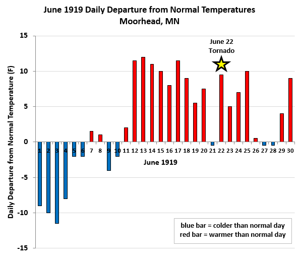
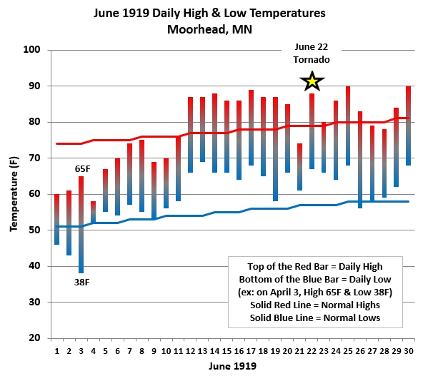
These 3 charts show June 1919 data from Moorhead, Minnesota (the nearest NWS station to Fergus Falls). Figure 1 shows the daily departure from normal temperatures (red bars are days warmer than normal and blue bars are days cooler than normal). Figure 2 shows the daily temperature spread. The tops of the red bars show the highs for the day and the bottoms of the blue bars show the lows for the day. The red line shows normal highs and the blue line shows normal lows. Figure 6 shows daily rainfall amounts.
 |
 |
 |
| Figure 4: Daily Departures from Normal | Figure 5: Highs & Lows | Figure 6: Daily Rainfall |
Additional Information
Newspaper headlines about the Fergus Falls tornado & the lives lost
 |
 |
 |
 |
| Bismarck Tribune |
Minneapolis Tribune |
Omaha Bee |
Lives Lost |
Freaks of the Storm
 |
 |
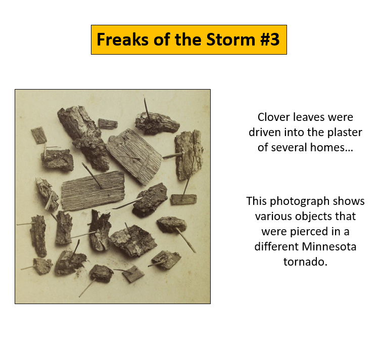 |
 |
| 1 |
2 |
3 |
4 |
 |
 |
 |
 |
| 5 |
6 |
7 |
8 |
 |
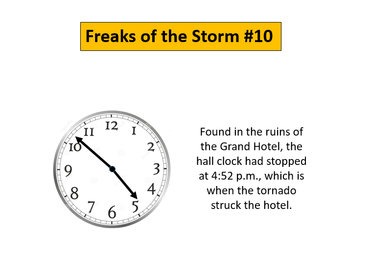 |
 |
 |
| 9 |
10 | 11 |
12 |
|
|
 |
Media use of NWS Web News Stories is encouraged! Please acknowledge the NWS as the source of any news information accessed from this site. |
 |