
A rare March heat wave is ongoing with much above-normal temperatures over the Southwest U.S. through this weekend. Periods of critical fire weather will persist from the central Rockies to the central and southern Plains through the weekend as gusty winds and low relative humidity continue. A Kona low will continue to bring several rounds of moderate to heavy rainfall to Hawaii through Sunday. Read More >
Eastern Region Headquarters
Regional Headquarters
|
Click to enlarge
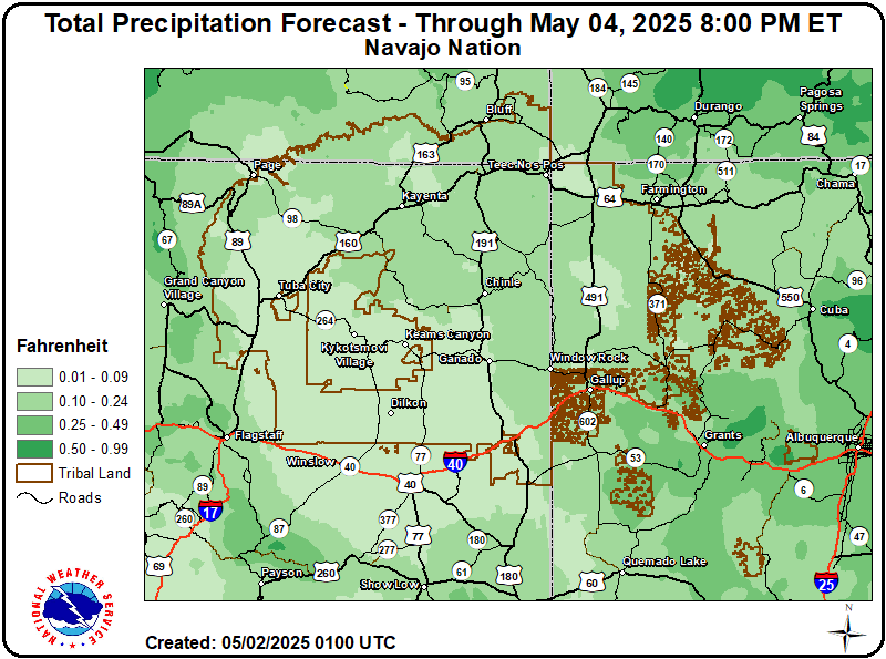 Total QPF |
Click to enlarge
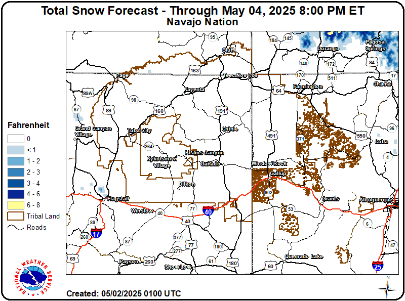 Total Snow Accumulation |
|
Click to enlarge
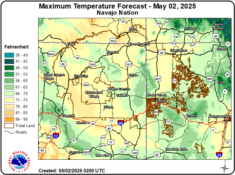 Maximum Temperature Day 1 |
Click to enlarge
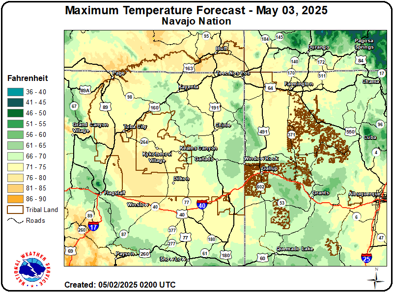 Maximum Temperature Day 2 |
|
Click to enlarge
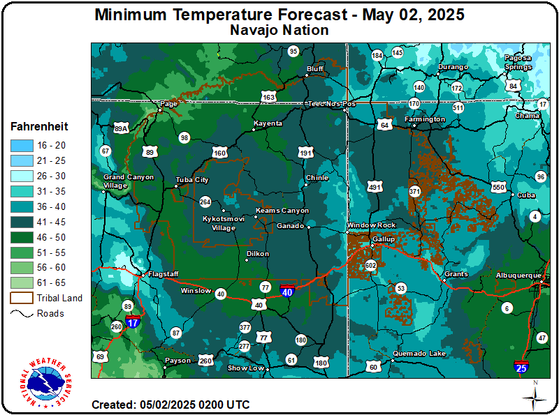 Minimum Temperature Day 1 |
Click to enlarge
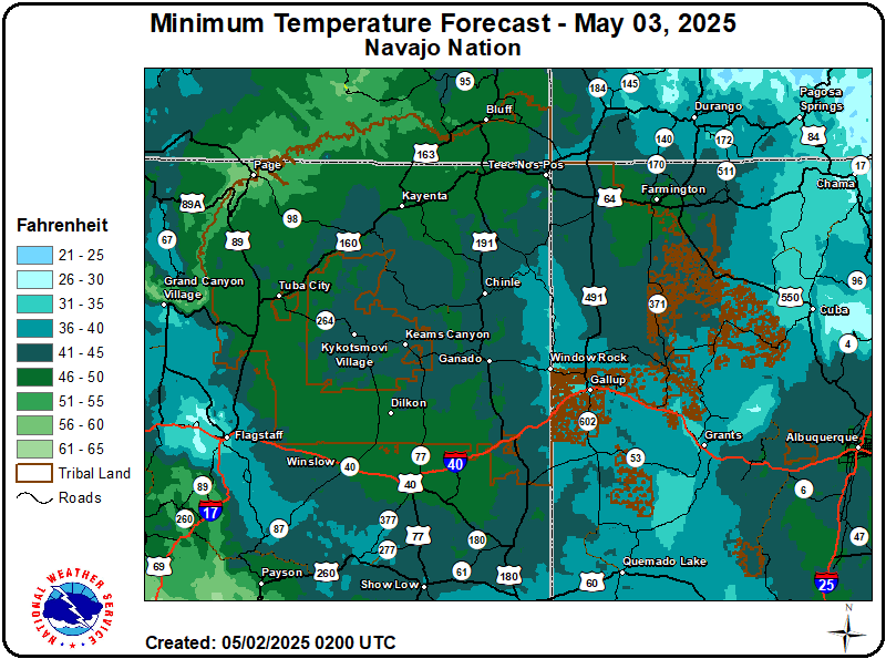 Minimum Temperature Day 2 |
|
Click to enlarge
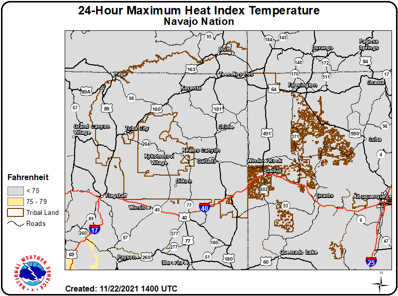 24-Hour Maximum Apparent Temperature |
Click to enlarge
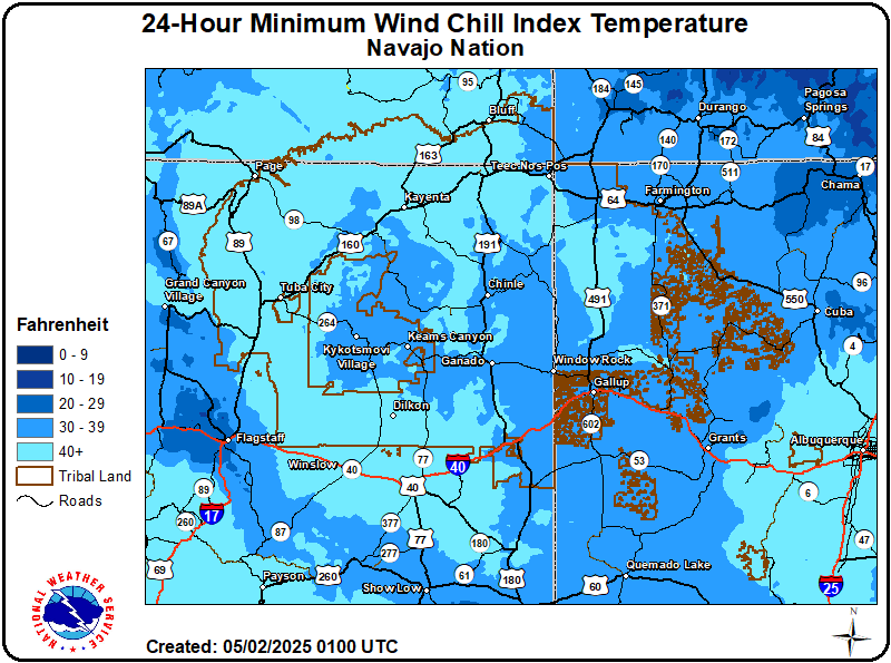 24-Hour Minimum Apparent Temperature |
|
Click to enlarge
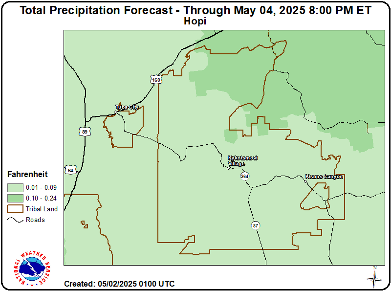 Total QPF |
Click to enlarge
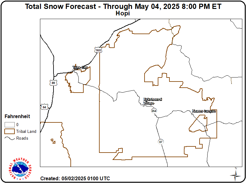 Total Snow Accumulation |
|
Click to enlarge
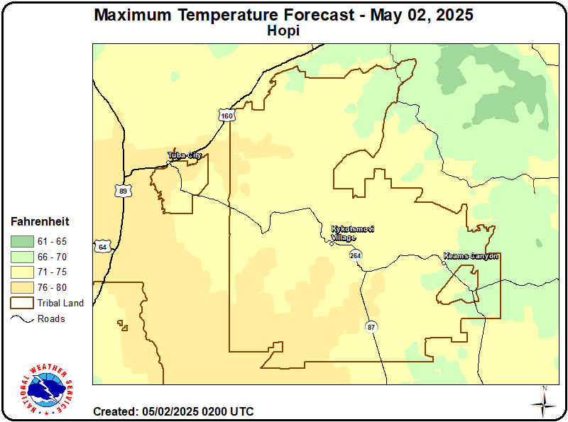 Maximum Temperature Day 1 |
Click to enlarge
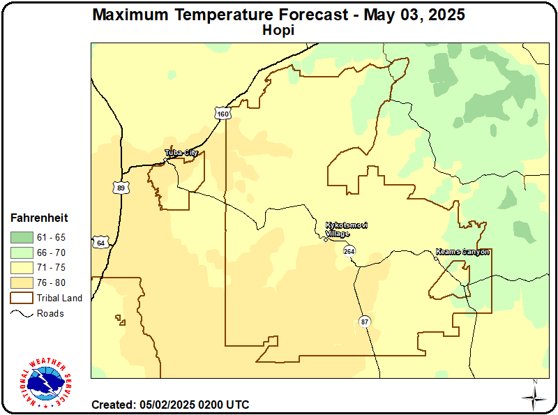 Maximum Temperature Day 2 |
|
Click to enlarge
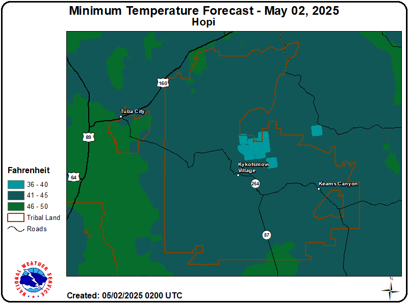 Minimum Temperature Day 1 |
Click to enlarge
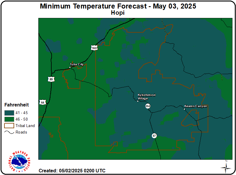 Minimum Temperature Day 2 |
|
Click to enlarge
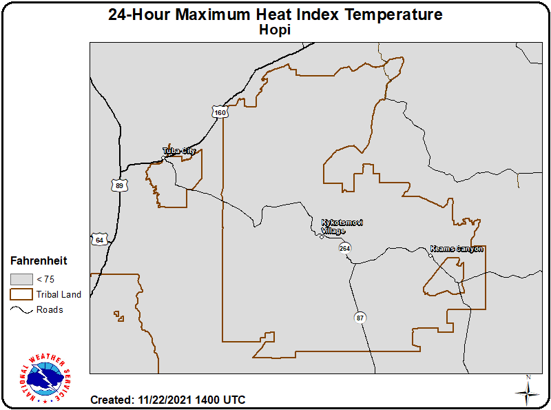 24-Hour Maximum Apparent Temperature |
Click to enlarge
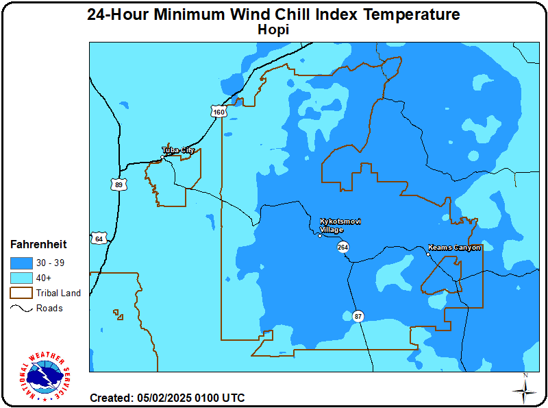 24-Hour Minimum Apparent Temperature |
US Dept of Commerce
National Oceanic and Atmospheric Administration
National Weather Service
Eastern Region Headquarters
630 Johnson Ave., Ste. 202
Bohemia, NY 11716
631-244-0100
Comments? Questions? Please Contact Us.

