
Severe thunderstorms are forecast through this weekend along a slow moving cold front and secondary storm system that will impact areas from the southern Plains to the Great Lakes. Large hail and isolated damaging wind gusts are the main threats with these storms along with a risk for heavy to excessive rainfall which could bring flooding. Read More >
Eastern Region Headquarters
Regional Headquarters
|
Click to enlarge
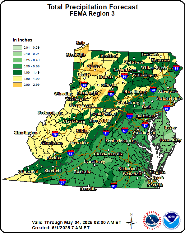 Total QPF |
Click to enlarge
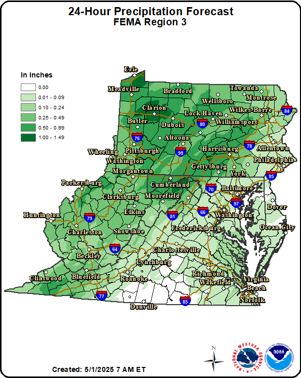 24-Hour QPF |
Click to enlarge
 Total Snow Accumulation |
|
Click to enlarge
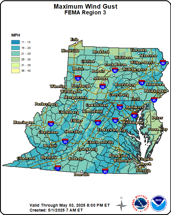 Maximum Wind Gust |
Click to enlarge
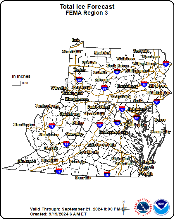 Total Ice Accumulation |
|
Click to enlarge
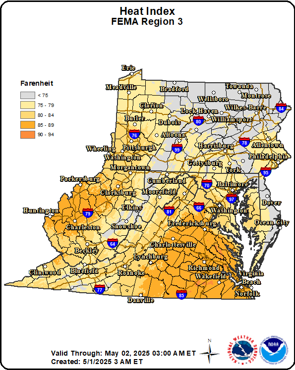 24-Hour Maximum Apparent Temperature |
Click to enlarge
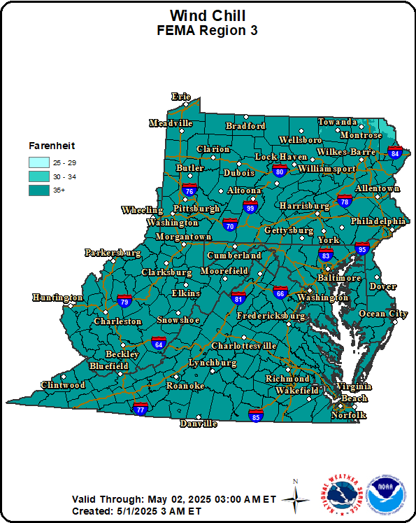 24-Hour Minimum Apparent Temperature |
|
Click to enlarge
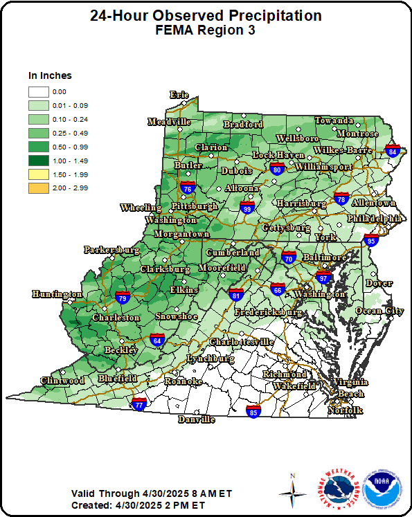 24-Hour Observed Precip |
Click to enlarge
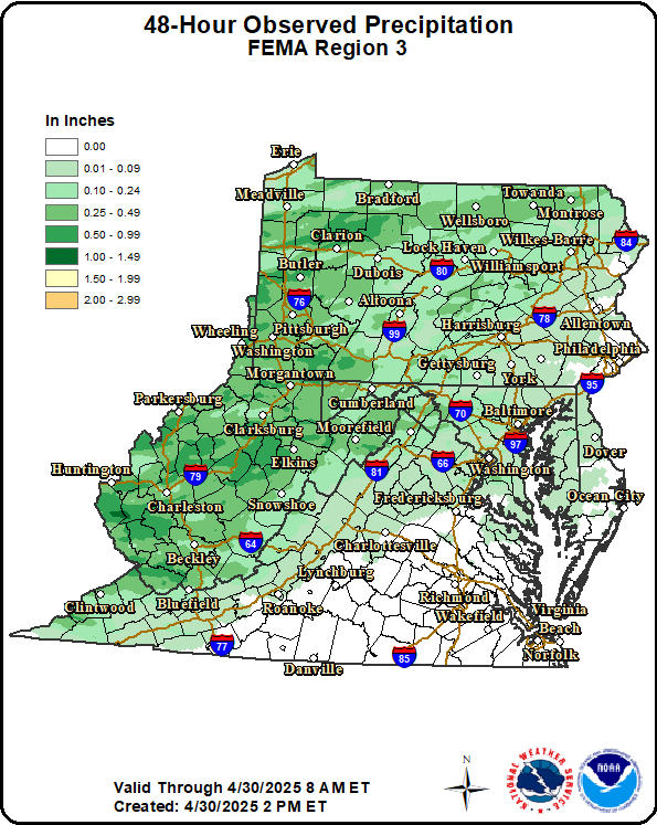 48-Hour Observed Precip |
Click to enlarge
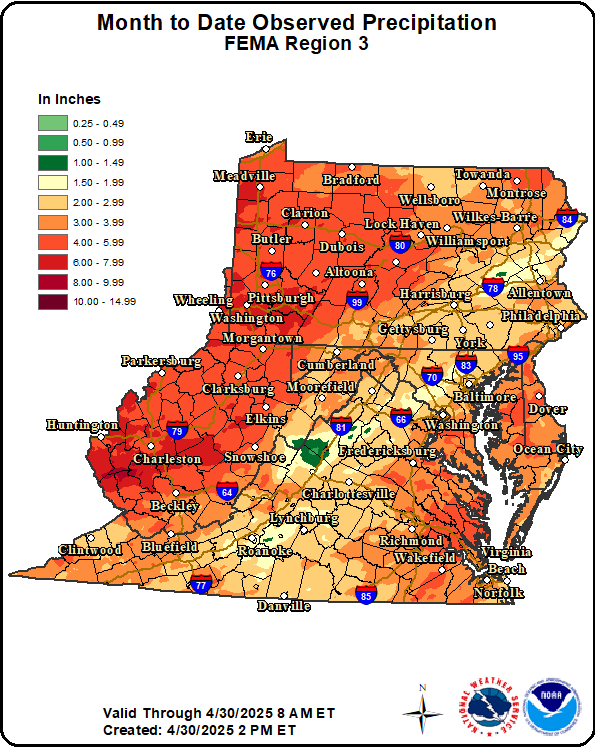 Month To Date Precip |
|
Click to enlarge
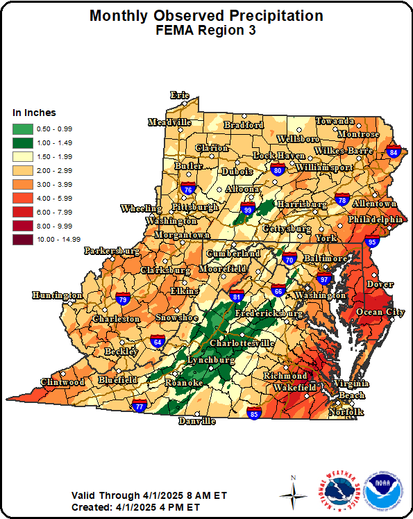 Total Monthly Observed Precip |
Click to enlarge
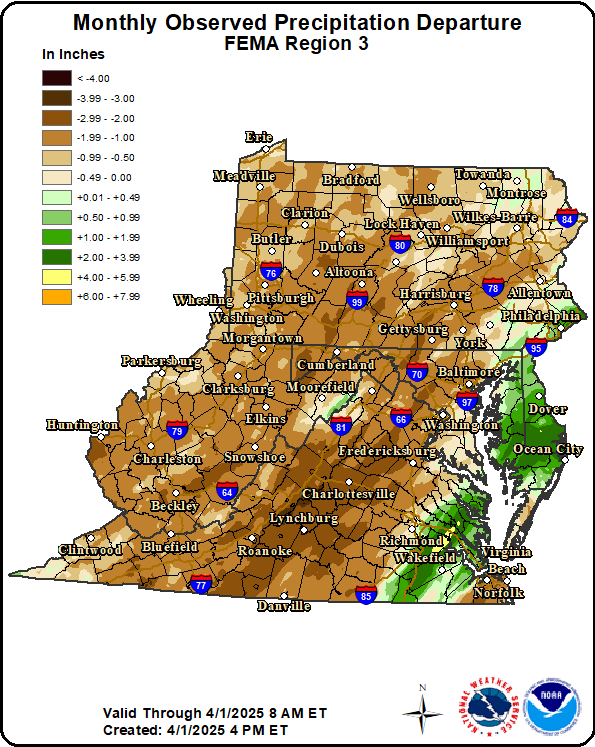 Total Monthly Observed Precip |
|
Click to enlarge
 Convective Outlook Day 1 |
Click to enlarge
 Convective Outlook Day 2 |
Click to enlarge
 Convective Outlook Day 3 |
US Dept of Commerce
National Oceanic and Atmospheric Administration
National Weather Service
Eastern Region Headquarters
630 Johnson Ave., Ste. 202
Bohemia, NY 11716
631-244-0100
Comments? Questions? Please Contact Us.

