Last Map Update: Sat, Apr 19, 2025 at 10:58:20 am MDT
 Briefing |
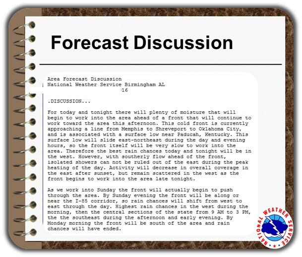 Forecast Discussion |
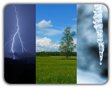
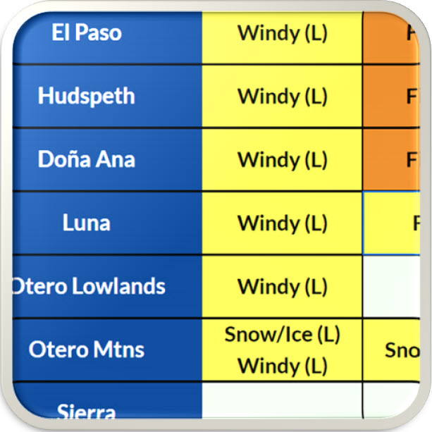 Weather Hazards Outlook |
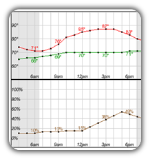 Hourly Forecast |
 Gridded Forecast |
 Weather Calculator |
|
|
 Satellite |
|
 Past Weather |
 Drought |
 Hydrology |
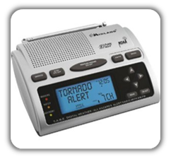 Wx Radio |
 Skywarn |
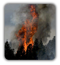 Fire Weather |
Volunteer |
 Aviation |
 Social Media |


 Radar
Radar Weather Map
 Satellite