
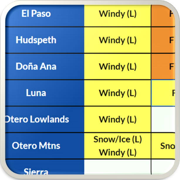
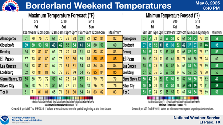
Scattered strong to severe thunderstorms will persist over the central to southern High Plains this weekend with a severe weather and flash flooding threat. A late season storm will bring low elevation rain and high elevation snow to portions of California, Nevada and Oregon through the weekend. Winter Weather Advisories are in place for the Sierra for snow totals of 3-6", locally higher. Read More >
Last Map Update: Sat, Apr 26, 2025 at 8:22:20 am MDT
 Briefing |
 Forecast Discussion |
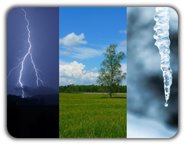
 Weather Hazards Outlook |
 Hourly Forecast |
 Gridded Forecast |
 Weather Calculator |
|
|
 Satellite |
|
 Past Weather |
 Drought |
 Hydrology |
 Wx Radio |
 Skywarn |
 Fire Weather |
Volunteer |
 Aviation |
 Social Media |


 Radar
Radar Weather Map
 Satellite