
A late season winter storm will produce a combination of heavy snow and disruptive ice starting this evening in the Northern Plains and moving into the Upper Midwest and Great Lakes by tonight continuing through Thursday. Severe thunderstorms will likely produce severe wind gusts, large hail, a few tornadoes, and heavy rainfall across the southern and central Plains into the morning. Read More >
El Paso, TX
Weather Forecast Office
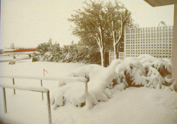
All time heavy snowfall events for El Paso
Monthly Extreme, 25.9 inches in December 1987 |
|
|
||
| National Weather Service El Paso Area 7955 Airport Rd Santa Teresa, NM 88008 Ph: (505) 589-4088 Page Author: WFO El Paso, TX Web Masters email: SR-EPZ.webmaster@noaa.gov |
Disclaimer Credits Glossary |
Privacy Policy About Us Career Opportunities |
Current Hazards
Outlooks
Hazardous Weather Outlook
Local Storm Reports
Public Information Statement
National
Heat Risk
Current Conditions
Local Observations
Satellite
Drought Monitor
Holloman AFB Radar
Regional highs/lows/precip
El Paso Radar
Rivers and Lakes
Forecasts
Forecast Discussion
Graphical Forecast
Hourly Forecast
Activity Planner
Fire Weather
Aviation Weather
Climate
El Paso Climate Data
Monthly Weather Digest
Climate Graphs
Monthly Climate Data
Climate Prediction
Storm Events Database
Santa Teresa Climate Data
US Dept of Commerce
National Oceanic and Atmospheric Administration
National Weather Service
El Paso, TX
7955 Airport Rd
Santa Teresa, NM 88008
(575) 589-4088
Comments? Questions? Please Contact Us.

