National Weather Service United States Department of Commerce
Click a location below for detailed forecast.

Last Map Update: Wed, Oct 14, 2026 at 10:52:32 pm MDT


A strong cold front will push into the area Thursday night bringing strong winds and rapidly cooling temperatures. The strongest winds will occur during the overnight hours with continued breezy to windy conditions during the day Friday. This warning will be in effect from Thursday evening through late Friday night.
Strong winds Thursday night into Friday may result in downed trees and power lines, mainly along west mountain slopes. Blowing dust is another hazard into Friday morning.
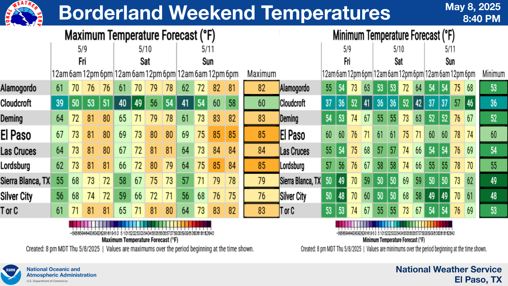
Thursday night's strong cold front will bring the coolest air of the season with highs struggling to reach 60 degrees for the lowlands Friday and Saturday. The wind on Friday will make it feel even cooler.
Wind Safety

Link to Briefing page
Briefing

Forecast
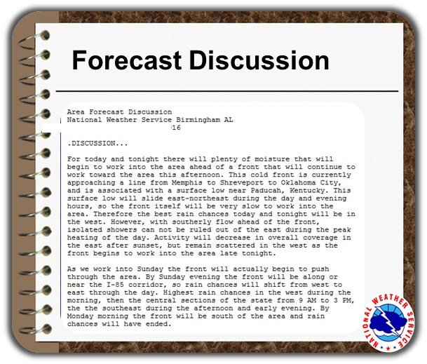
Discussion
Weather Hazards Outlook icon
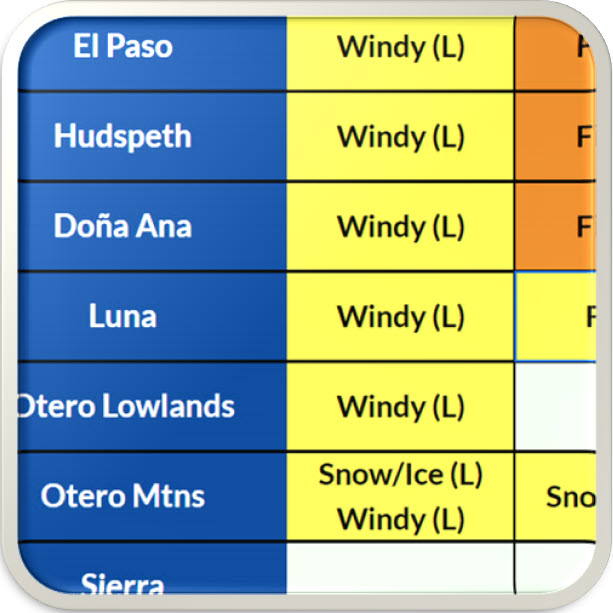
Weather Hazards
Outlook

Hourly Forecast

Gridded Forecast

Weather Calculator

Link to Observation Page
Current
Observations


Satellite


Climate
Data


Past Weather

Drought

Hydrology

Wx Radio

Skywarn

Fire Weather

Vo1lunteer

Aviation

Social Media
   
Weather Digest

Monsoon/Tropical