
Moderate to heavy snowfall is expected in the central/southern Rockies and adjacent High Plains today. Lake-enhanced snowfall is expected downwind of the Great Lakes today. Showers and thunderstorms will be possible this evening into tonight across the western Gulf Coast states. Temperatures across much of the central and eastern CONUS will remain below average and chilly to end the week. Read More >
Last Map Update: Wed, Dec 3, 2025 at 9:42:07 am PST
|
Text Product Selector (Selected product opens in current window)
|
|


 KBHX Radar
 Satellite
 Weather Map
 Forecast Weather Tables
 Past Weather Graphs
 Become A Rain/Snow/Hail Observer
 TsunamiReady
 Water Temperatures for NW California
 NW CA Mtn Pass Forecasts
 NW CA Daily Graphicast
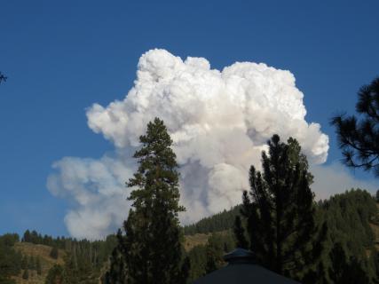 Area Smoke Forecast
 Drought Monitor
 Air Quality
 Winter Weather
 Probabilistic QPF Experiment
 Submit a Storm Report