Overview
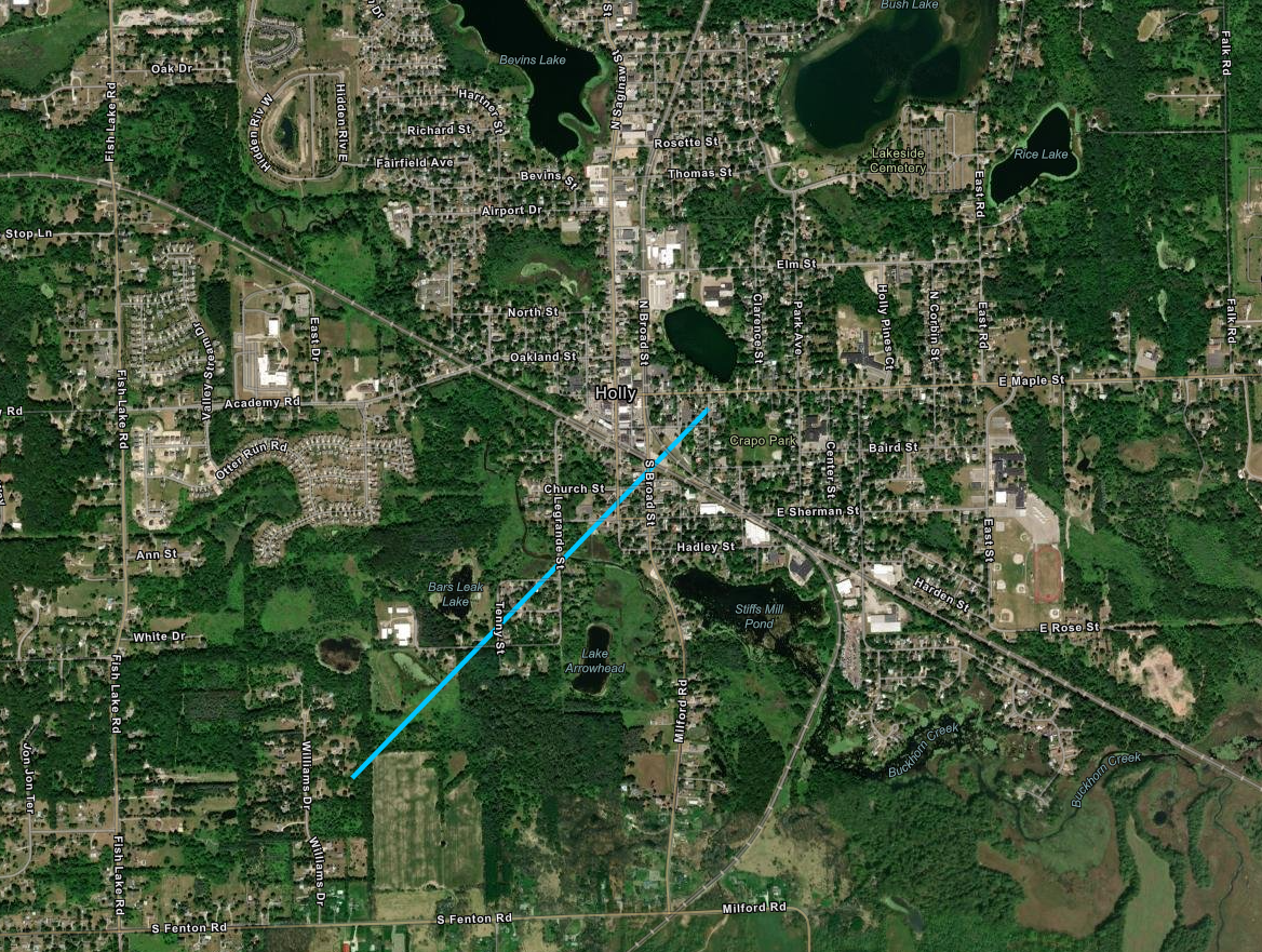
Above normal November temperatures in the mid 50s preceded a compact mid-level traversing southern lower MI over the latter half of the 10th. Cold cored system aided in deepening convective depths to generate a broken line of shallow thunderstorms and showers with several embedded circulations, one of which very briefly reached the ground on the south end of Holly.
Tornado:
|
Tornado - Holly, MI
Track Map

|
||||||||||||||||
The Enhanced Fujita (EF) Scale classifies tornadoes into the following categories:
| EF0 Weak 65-85 mph |
EF1 Moderate 86-110 mph |
EF2 Significant 111-135 mph |
EF3 Severe 136-165 mph |
EF4 Extreme 166-200 mph |
EF5 Catastrophic 200+ mph |
 |
|||||
Radar
Radar Imagery for SE MI
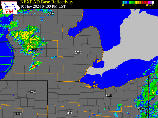

Radar loop courtesy of Iowa Environmental Mesonet (IEM)
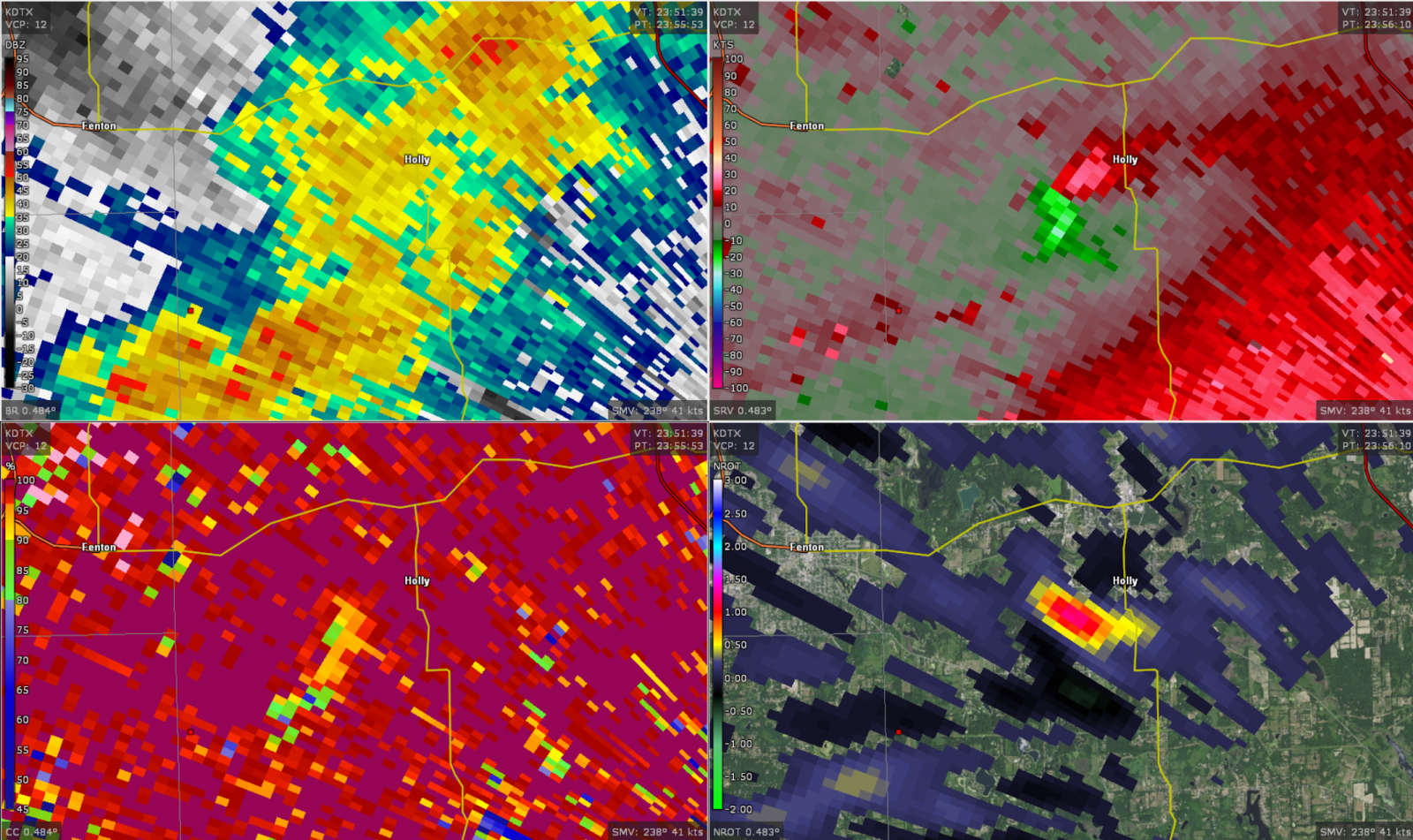
Figure 1. DTX base reflectivity, velocity, correlation coefficient, and NROT at 656 PM on 10 November 2024, centered on Holly, MI.
 |
Media use of NWS Web News Stories is encouraged! Please acknowledge the NWS as the source of any news information accessed from this site. |
|