| Overview | Radar | Damage Surveys |
Overview
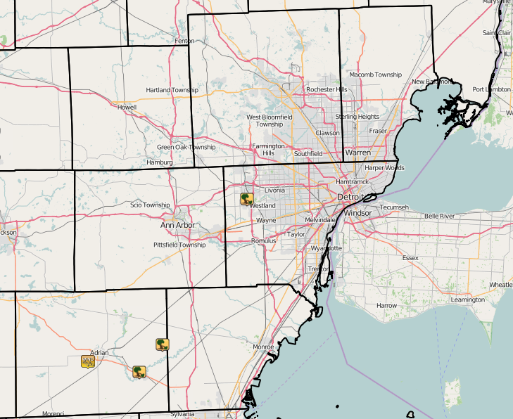
A strong low pressure system tracking from the southern Plains into the Upper Great Lakes brought record December warmth to Southeast Michigan on Wednesday, December 23rd. Stronger winds associated with this system interacted with the unseasonably warm air to produce the first December tornado in Michigan history during the evening. This tornado occurred in Wayne County, just north-northeast of Canton. The tornado was rated EF-1 with peak winds of 90 mph. The tornado touched down at 643 pm EST, tracking 2 miles before lifting at 646 pm EST.
This brief tornado developed along a fast moving line of showers that shifted across Southeast Michigan during the evening (5 to 8 pm). A Significant Weather Statement (SPS) was issued at 620 pm, highlighting the potential for wind gusts up to 50 mph. The brief duration and weak intensity of this tornado made the issuance of a tornado warning nearly impossible, typical of brief spin-ups that are embedded along a fast moving line. In many cases, such as this one, the tornado touchdown occurs largely between radar scans, leaving little opportunity for advanced warning.
This is the first December tornado in Michigan history and only the third during the winter season. The other two tornadoes occurred on Jan 18, 1996 in Kalamazoo County and Feb 28, 1974 in Wayne County
Please see the "Damage Surveys" section below for more information on the tornadoes.

| Radar loop courtesy of Iowa Environmental Mesonet (IEM). |
 |
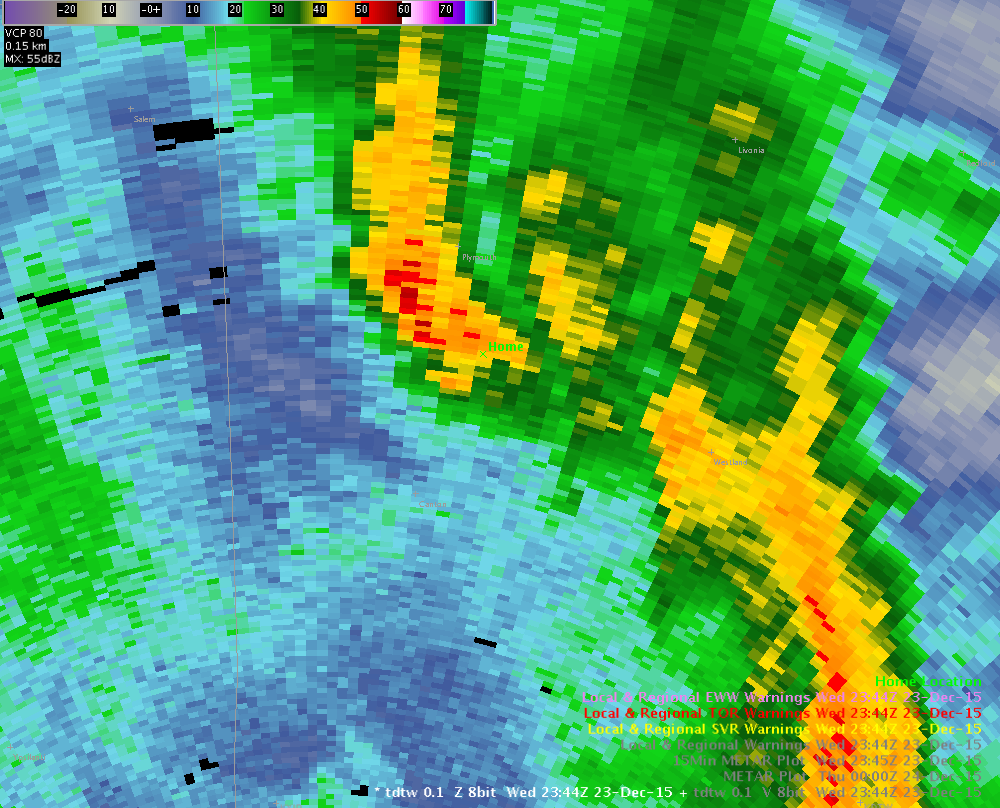 |
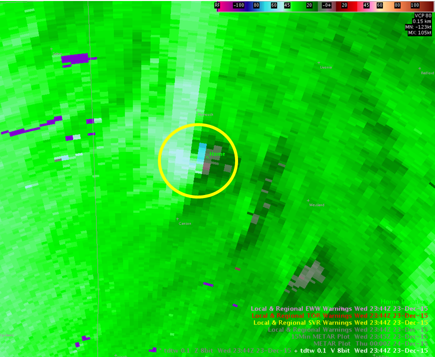
| Velocity image from 6:44 PM. Yellow circle highlights the weak couplet associated with rotation near Canton, MI. | Reflectivity image that coincides with the velocity image on the left (6:44 PM). |
Why was there no warning?
-The brief duration and weak intensity of this tornado made the issuance of a tornado warning nearly impossible, typical of brief spin-ups that are embedded along a fast moving line. In many cases, such as this one, the tornado touchdown occurs largely between radar scans, leaving little opportunity for advanced warning. The Canton EF-1 tornado traveled two miles and was only on the ground for 3 minutes.
|
|
| Image courtesy of Iowa Environmental Mesonet (IEM). Local Storm Reports (LSR) are also shown plotted on the map. |
|
|
Text Listing of Peak Recorded Wind Gusts
Back to top
Tornado Track:
 |
| Canton EF1 |
Click for larger image
Back to top