1159 PM EDT Mon Apr 21 2025
.AVIATION...
A low pressure system exits central Ontario into western Quebec
tonight which ushers in a cooler airmass for the terminals into
Tuesday. The coldest air will generally remain over northern
Michigan, but sufficient cooling has supported the development of a
stratocumulus deck this evening. Expectation is that cloud bases
still hold in the low-end VFR range a bit longer before scattering
out early Tuesday morning. The surface pressure gradient further
relaxes with time tonight as the rate of improvement is dictated by
the departure speed of the surface low. Surface high pressure builds
into the Ohio Valley from the Mississippi Valley on Tuesday
promoting a drier column locally with weaker west-southwest winds.
Mid-level moisture and resulting clouds spill downstream into Lower
Michigan from The Plains Tuesday evening as surface flow backs
southerly, due to the eastward translation of Ohio Valley ridging.
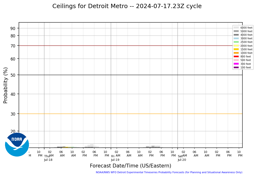
.DTW THRESHOLD PROBABILITIES...
* High for ceiling at or below 5000 feet until approximately 08Z
tonight, then low for the rest of the morning hours.
382 FTUS43 KDTX 220837 AAA TAFDTW TAF AMD KDTW 220837Z 2209/2312 26010KT P6SM SKC FM221400 26008KT P6SM SCT100 BKN250 FM222200 22005KT P6SM OVC100 FM230200 16007KT P6SM BKN100=
f01
|
f02
|
f03
|
f04
|
f05
|
f06
|
f07
|
f08
|
f09
|
f10
|
f11
|
f12
|
f13
|
f14
|
f15
|
f16
|
f17
|
f18
|
f24
|
f27
|
f30
|
f33
|
f36
|
f01
|
f02
|
f03
|
f04
|
f05
|
f06
|
f07
|
f08
|
f09
|
f10
|
f11
|
f12
|
f13
|
f14
|
f15
|
f16
|
f17
|
f18
|
f24
|
f27
|
f30
|
f33
|
f36
|
f01
|
f02
|
f03
|
f04
|
f05
|
f06
|
f07
|
f08
|
f09
|
f10
|
f11
|
f12
|
f13
|
f14
|
f15
|
f16
|
f17
|
f18
|
f24
|
f27
|
f30
|
f33
|
f36
|
f01
|
f02
|
f03
|
f04
|
f05
|
f06
|
f07
|
f08
|
f09
|
f10
|
f11
|
f12
|
f13
|
f14
|
f15
|
f16
|
f17
|
f18
|
f24
|
f27
|
f30
|
f33
|
f36
|
Ceiling Guidance at DTW |
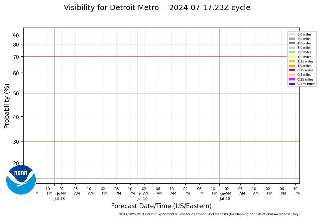
Visibility Guidance at DTW |
 |
 |
Hourly Snow Rate at DTW |
3 Hourly (centered running total) Snow Rate at DTW |
 |
 |