| Useful Links |
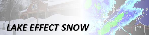
"Regular" Snow vs. Lake Effect Snow
Lake effect snow develops over open water of a lake and advects, or blows, onto land. Regular snow develops from the forcing of air to rise due to a synoptic feature on land (ie. cold front, warm front, trough, low pressure center).
What is Lake Effect Snow?
This type of snow develops due to the temperature gradient, or difference, between the cold dry air sitting above relatively warm water. When this vertical gradient, or lapse rate, is large enough, the atmosphere is said to be unstable. This instability comes from the warm air near the surface of the water being more buoyant than the cold dry air above it, so it wants to rise, or lift vertically. As air rises, it cools and condenses forming a cloud, and if it rises enough it can produce snow.
Who is Affected by Lake Effect Snow?
Lake effect snow can affect locations inland of roughly 20 miles of the coast of a large unfrozen lake in the cold season. Once the snow forms over the lake, the coast and area it will affect depends on the wind direction and strength. Lake effect snow events are known to produce HUGE amounts of snow, mainly due to the fact that the conditions producing the snow can persist for several days.
In the Northland, the most common location for the lake snow to come onto land, is along the southern shore of Lake Superior across northern Wisconsin and upper Michigan. This region is also referred to as the Snowbelt. Typically, air cold enough to produce enough instability for lake effect snow is accompanied by winds with a northerly component. A wind coming from the north, than advects, or pushes, the snow that forms on the lake across the south shore and over the Snowbelt Region.
How Do I Forecast Lake Effect Snow?
Identifying the conditions that are favorable for snow to develop over the lake is the key to forecasting lake effect snow (LES). The components of the atmosphere that are necessary include:

