Duluth, MN
Weather Forecast Office
|
***This page is intended as a tool to help pilots better visualize weather and weather-related hazards. It is not intended as a substitute for a weather briefing obtained from a Flight Service Station (1-800-WXBRIEF). Currently, the information contained here does not meet the FAA requirements for a pre-flight weather brief. Therefore, it's important that pilots still call and obtain a briefing from an FAA Flight Service Specialist. You may also visit the Aviation Weather Center or the Minneapolis CWSU. An overview of the services provided by the National Weather Service is available here: A Pilot’s Guide to Aviation Weather Services |
 |
 |
 |
 |
 |
| GeoColor | Night Microphysics | Lightning Flash | National Surface | Regional Surface |
| Duluth | Minneapolis | |||
 |
 |
|||
| Reflectivity | Reflectivity | |||
| Grand Forks | Green Bay | |||
 |
 |
|||
| Reflectivity | Reflectivity | |||
| Marquette | La Crosse | |||
 |
 |
|||
| Reflectivity | Reflectivity |
 |
 |
 |
 |
 |
 |
 |
| Current | 3 hrs | 6 hrs | 9 hrs | 12 hrs | 15 hrs | 18 hrs |
Ceiling, Visibility and Low Level Wind Shear can be found at: Aviation Graphical Forecast Viewer
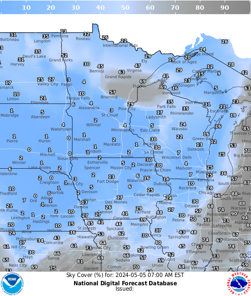
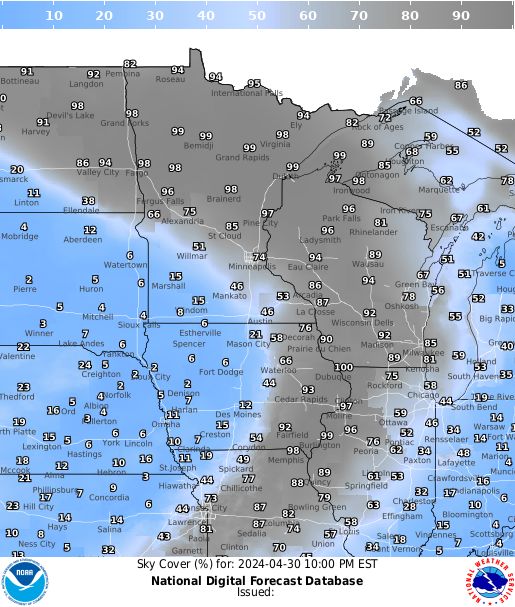
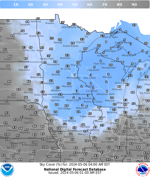
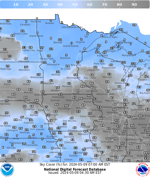
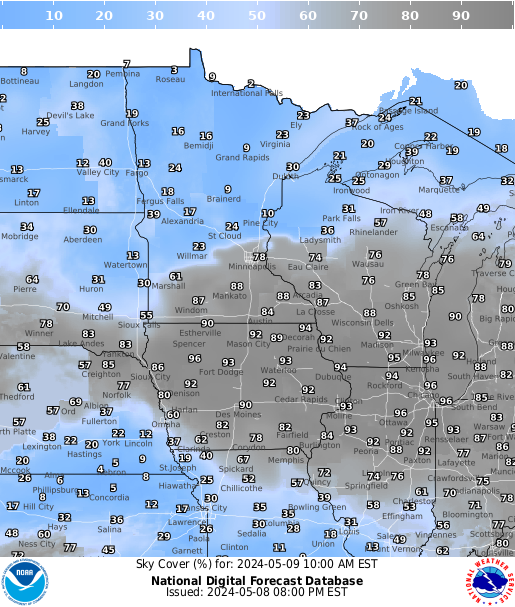
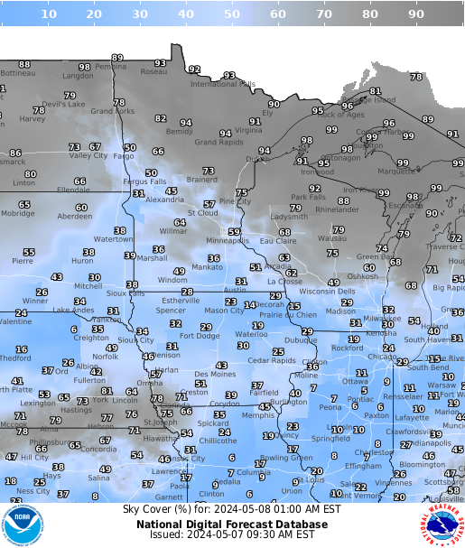
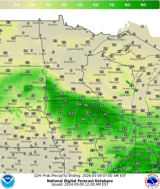
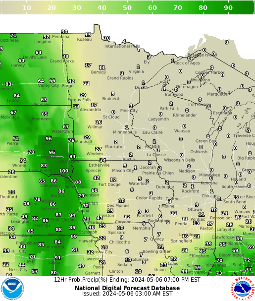
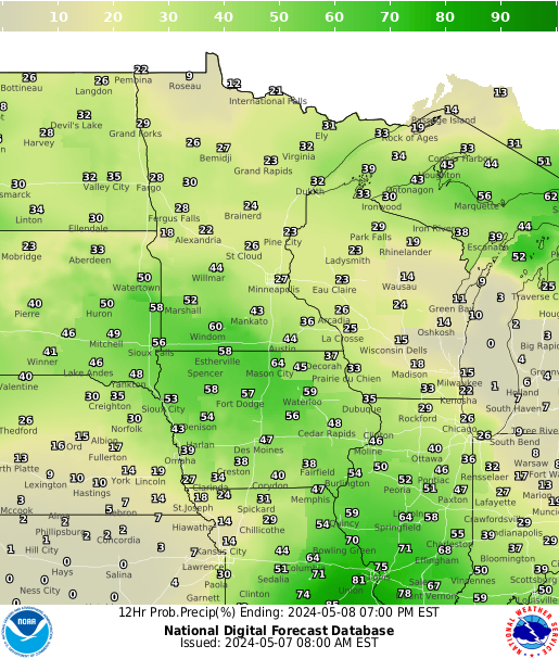
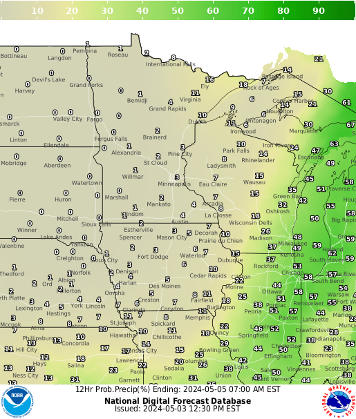
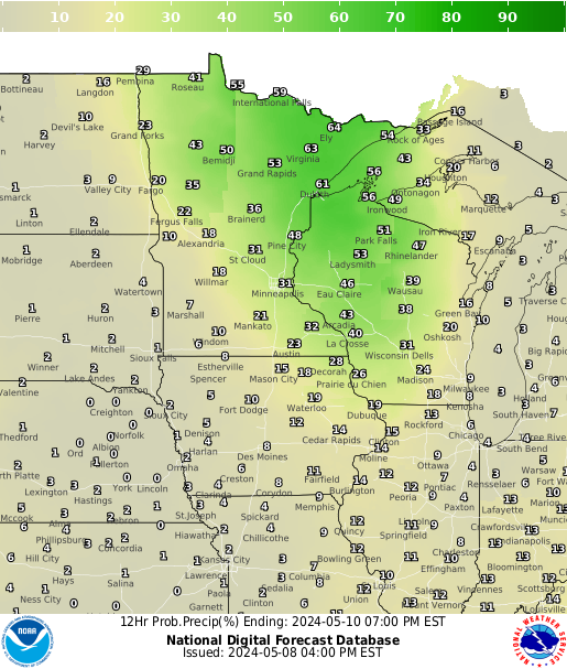
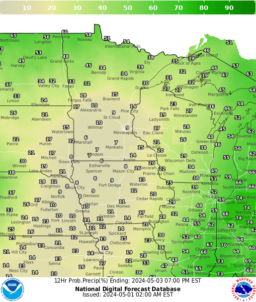
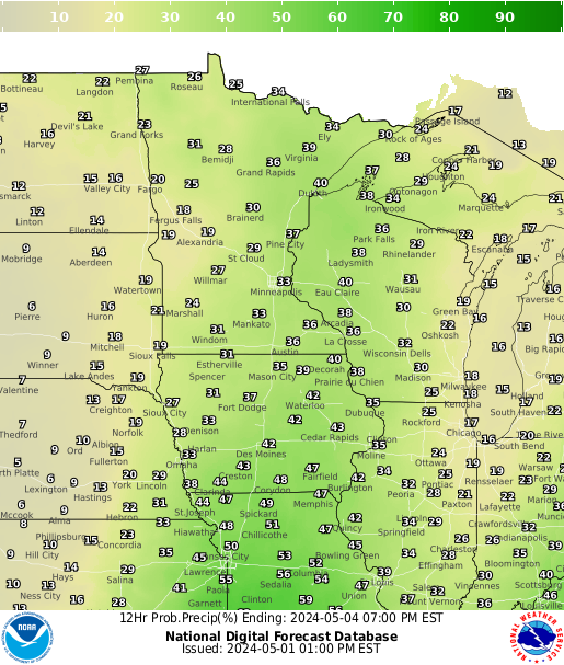
Precipitation Chances
 |
 |
 |
 |
 |
 |
 |
| 12 hrs | 24 hrs | 36 hrs | 48 hrs | 60 hrs | 72 hrs | 84 hrs |
 |
 |
 |
 |
 |
 |
 |
| Current | 3 hrs | 6 hrs | 9 hrs | 12 hrs | 15 hrs | 18 hrs |
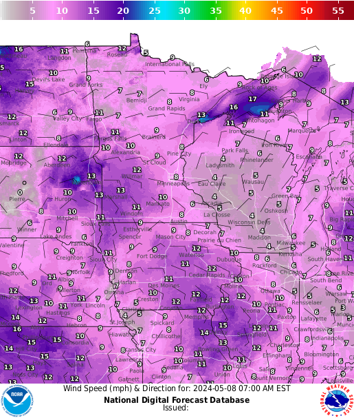
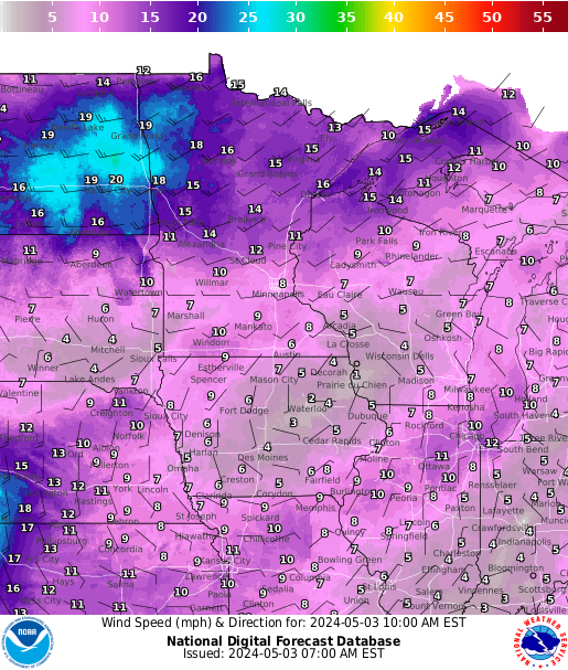
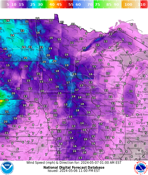
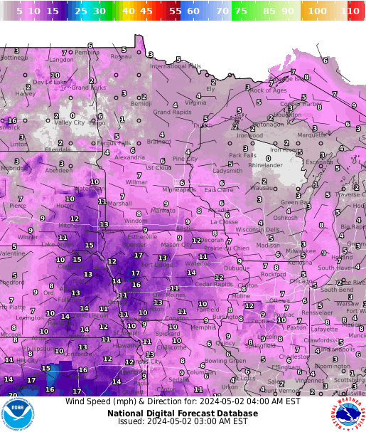
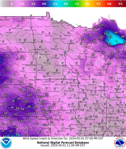
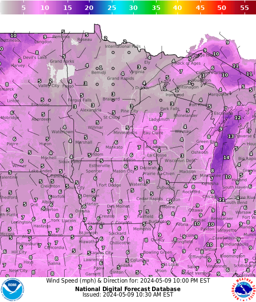
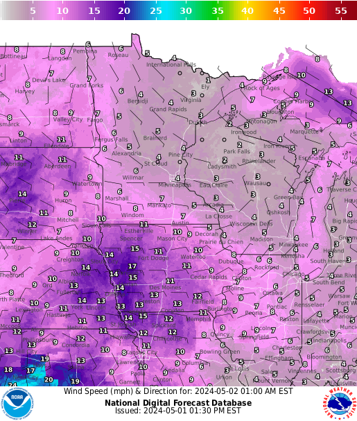
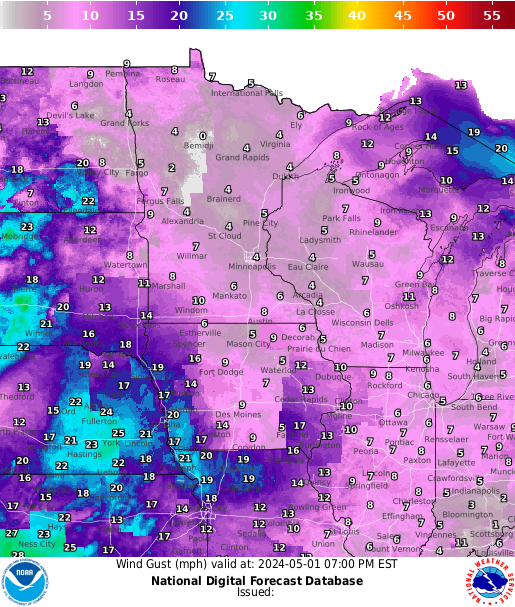
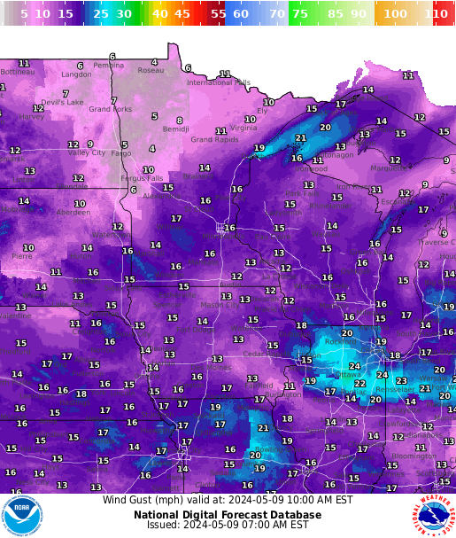
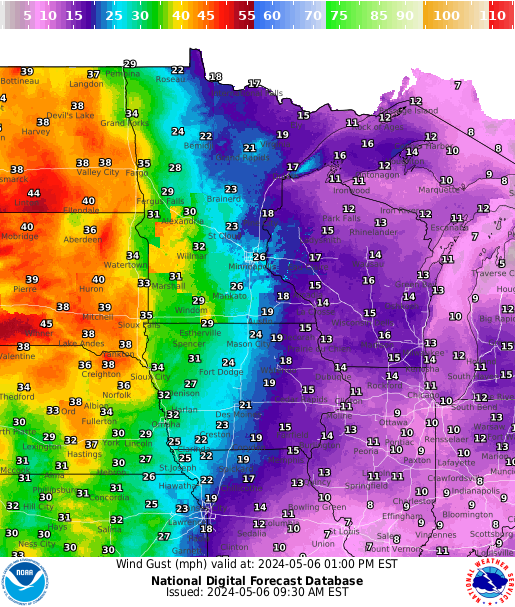
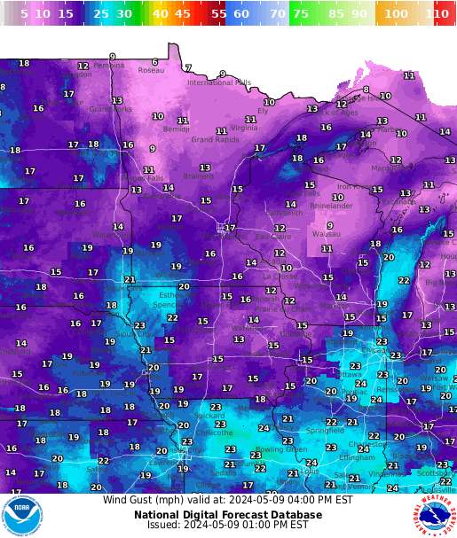
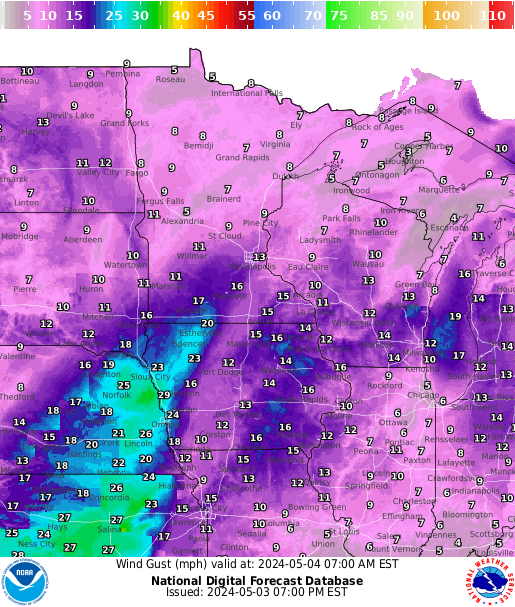
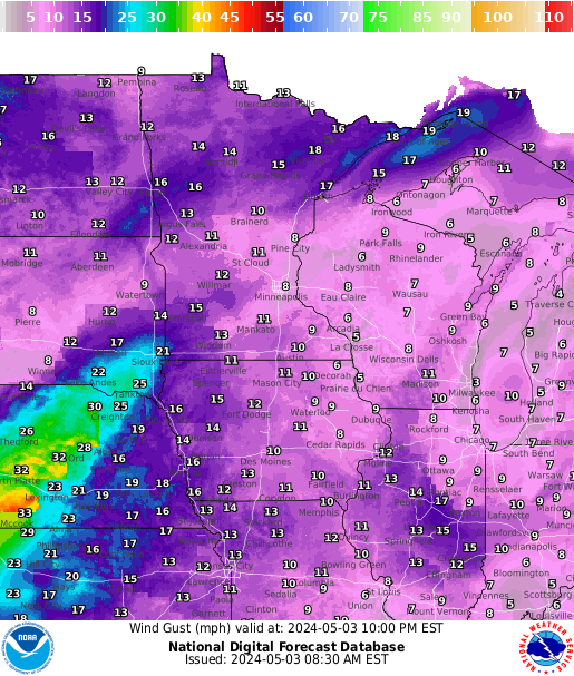
Surface Gusts
 |
 |
 |
 |
 |
 |
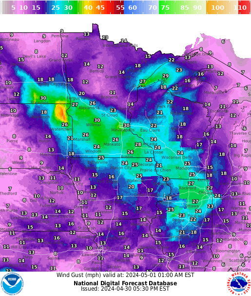 |
| Current | 3 hrs | 6 hrs | 9 hrs | 12 hrs | 15 hrs | 18 hrs |
Aviation Forecast Discussions from other NWS Offices
Interactive Aviation Weather Center Pages: Sigmet, Airmet, Center Weather Advisory
Forecasts
Fire Weather
Great Lakes
Local Text Products
Winter Weather
Local Area Forecasts
Aviation
Marine
Rainy River Basin Page
Current Conditions
Current Observations
Public Information Statements
National Snowfall Map
NOHRSC Snow Analysis
Rain/Snow Reports
Winter Monitor
US Dept of Commerce
National Oceanic and Atmospheric Administration
National Weather Service
Duluth, MN
5027 Miller Trunk Highway
Duluth, MN 55811-1442
218-729-6697 - Duluth; 218-283-4615 - Intl Falls
Comments? Questions? Please Contact Us.


