Lake effect snow will impact the Great Lakes region through the day. Gusty winds will pick up across the Midwest, Northeast and Mid-Atlantic beginning this afternoon following a cold front. Elevated fire weather conditions will persist across the Desert Southwest today, with critical fire weather conditions developing Wednesday and Thursday in the Southern Plains. Read More >
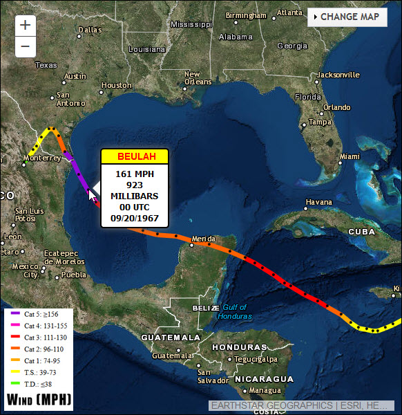 |
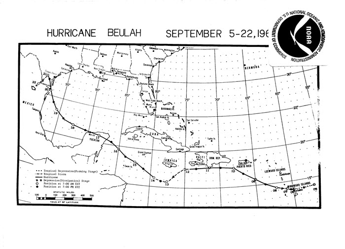
Figure 1. Track and Intensity of Hurricane Beulah |
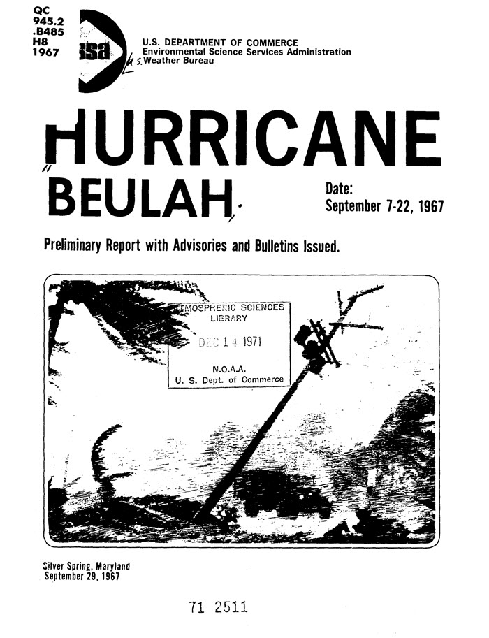
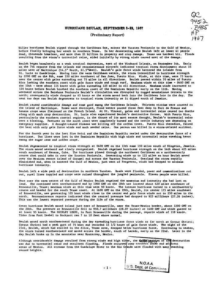
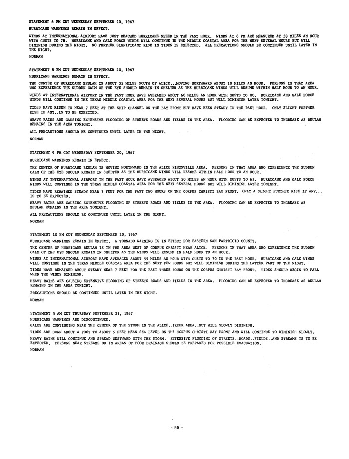
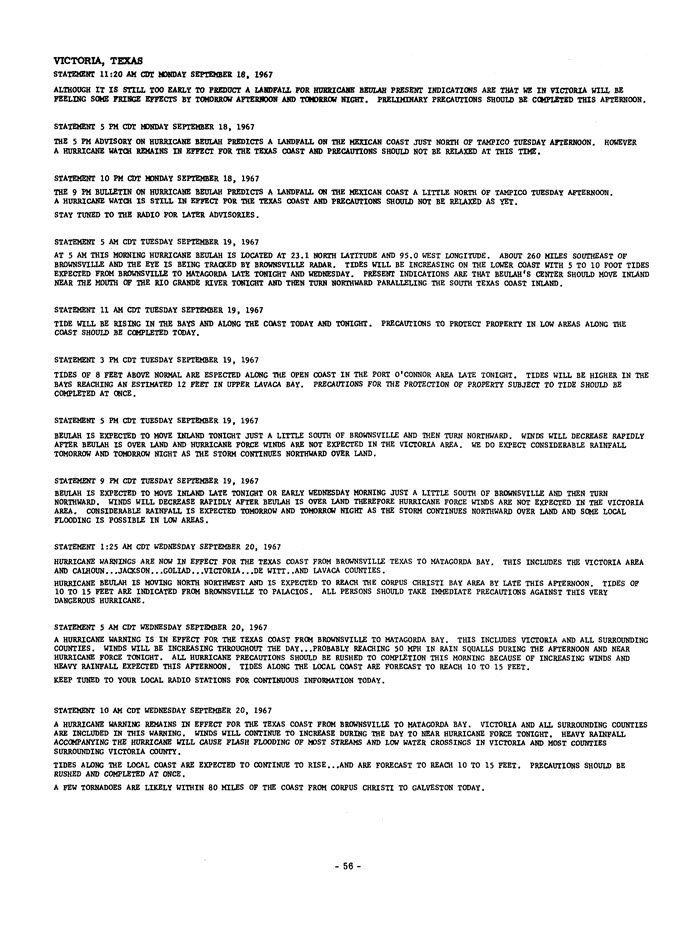
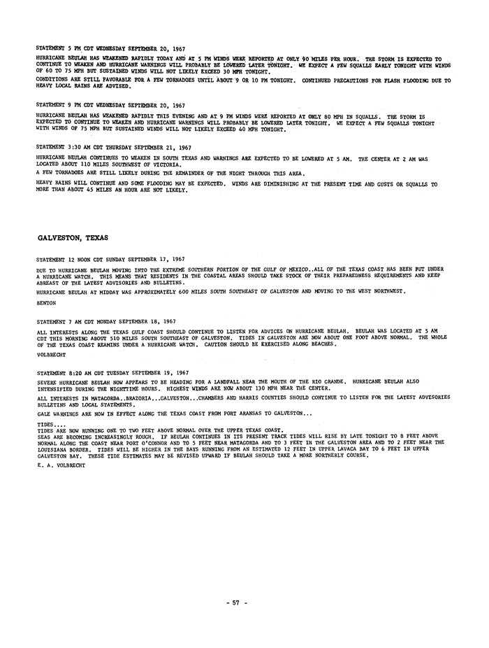
2017 marks the 50th anniversary of Hurricane Beulah. On September 20th, 1967, Hurricane Beulah made landfall near Brownsville as a powerful category three hurricane. While not a direct landfall along the Middle Texas Coast, this storm had far-reaching impacts that affected southern parts of Texas.
The origin of Beulah can be traced back to a weather disturbance that emerged off the coast of Africa on August 28th. The area of unsettled weather continued westward, and on September 4th
a Navy reconnaissance plane discovered a weak circulation with the system. The official track for Beulah began on September 5th just east of the Windward Islands as nearby ships reported a depression had formed.
The storm became better organized on September 6th, and on September 7th. A navy reconnaissance plane found that an eye had developed. After passing through the Windward Islands as a tropical storm,
Beulah intensified on September 8th and reached hurricane strength over the eastern Caribbean Sea. The storm continued its westward track across the Caribbean as a major hurricane, reaching category four strength
south of Puerto Rico and Hispaniola. Interestingly, Beulah then weakened significantly between September 10th and 13th and was downgraded to a tropical storm on September 12th. Unfavorable
atmospheric conditions and briefly crossing the south fringes of the Dominican Republic contributed to the cyclone’s weakening. After moving south of Jamaica, a more northwesterly track became established, and Beulah
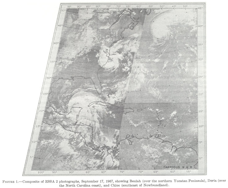
strengthened into a hurricane again. As the hurricane continued its northwesterly track, the threat to the Yucatan Peninsula increased. Beulah made landfall on the island of Cozumel on the evening of September 16th,
crossing the Yucatan Peninsula, and emerging into the southwestern Gulf of America on the afternoon on September 17th.
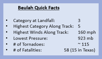
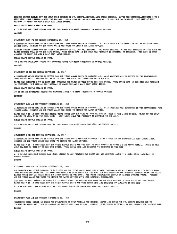
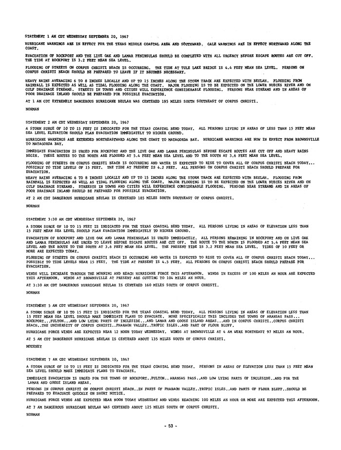
As the hurricane approached the Lower Texas Coast, further intensification occurred due to the very warm waters of the Gulf of America. Beulah reached category five strength with winds around 160 mph south southeast of Brownsville. The lowest pressure during the lifetime of the hurricane was 923 mb, which was recorded on the afternoon and evening of September 19th. Beulah made landfall on the morning of September 20th between the mouth of the Rio Grande River and Brownsville as a powerful category three hurricane. The hurricane gradually weakened as it moved to the north northwest, but hurricane force winds were observed in the Coastal Bend. Beulah stalled near Alice, then moved to the southwest on September 21st, and dissipated over the mountainous terrain of Mexico on September 22nd.
The strongest winds at landfall were confined to areas well south of Corpus Christi. The SS Shirley Lykes, anchored in the Port of Brownsville, reported winds of 136 mph. At the National Weather Service office in Brownsville, a peak wind gust of 109 mph was recorded. The wind gusts were probably higher than 109 mph as the anemometer at the NWS office was titled 30 degrees due to the strong winds. Hurricane force winds were not as high in the Coastal Bend, but wind gusts between 80 and 100 mph were reported in Corpus Christi, Kingsville, Alice, Aransas Pass, and Rockport.
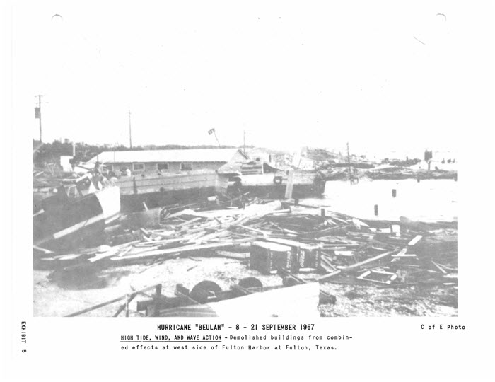
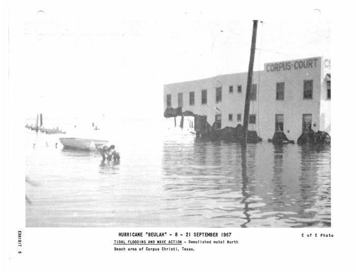
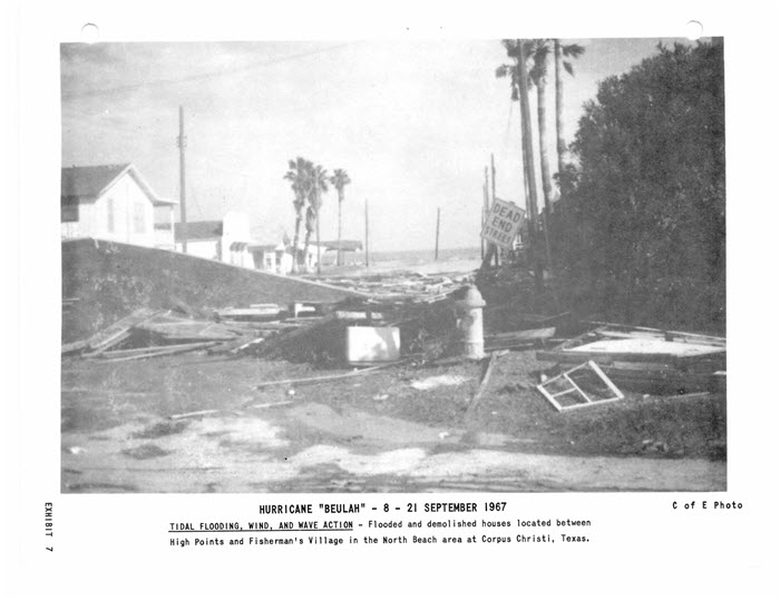
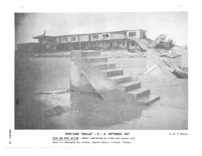
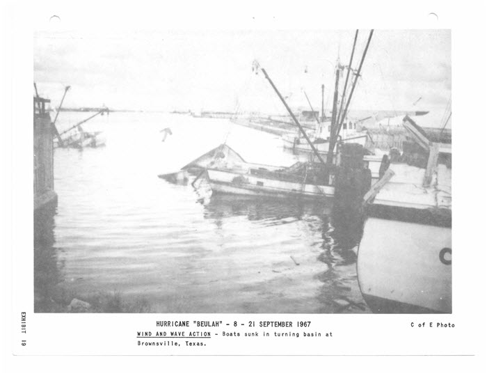
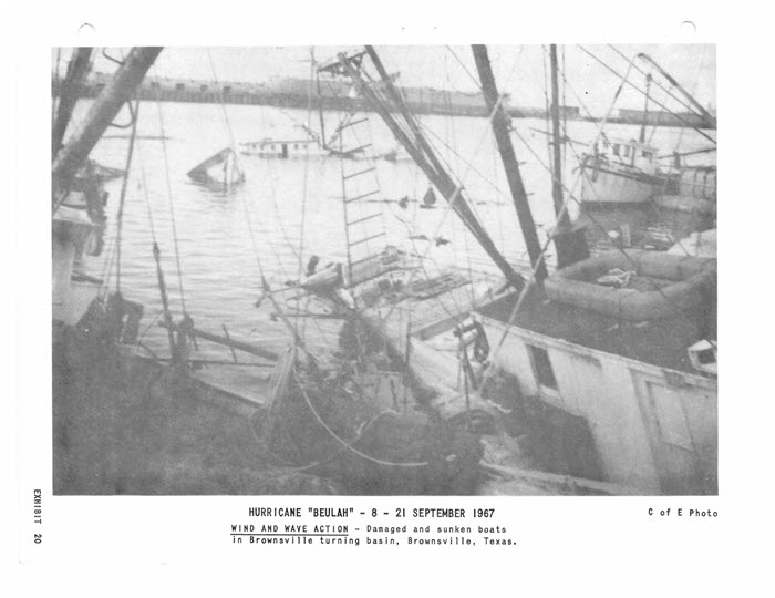
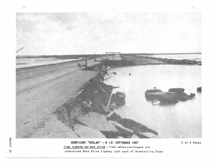
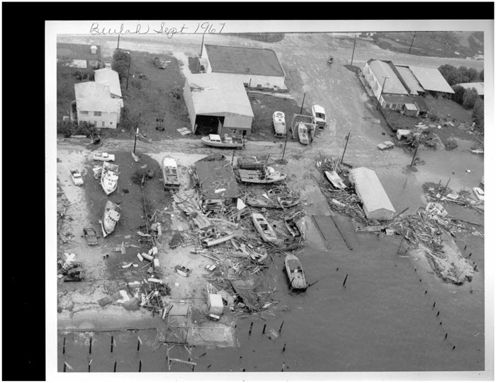
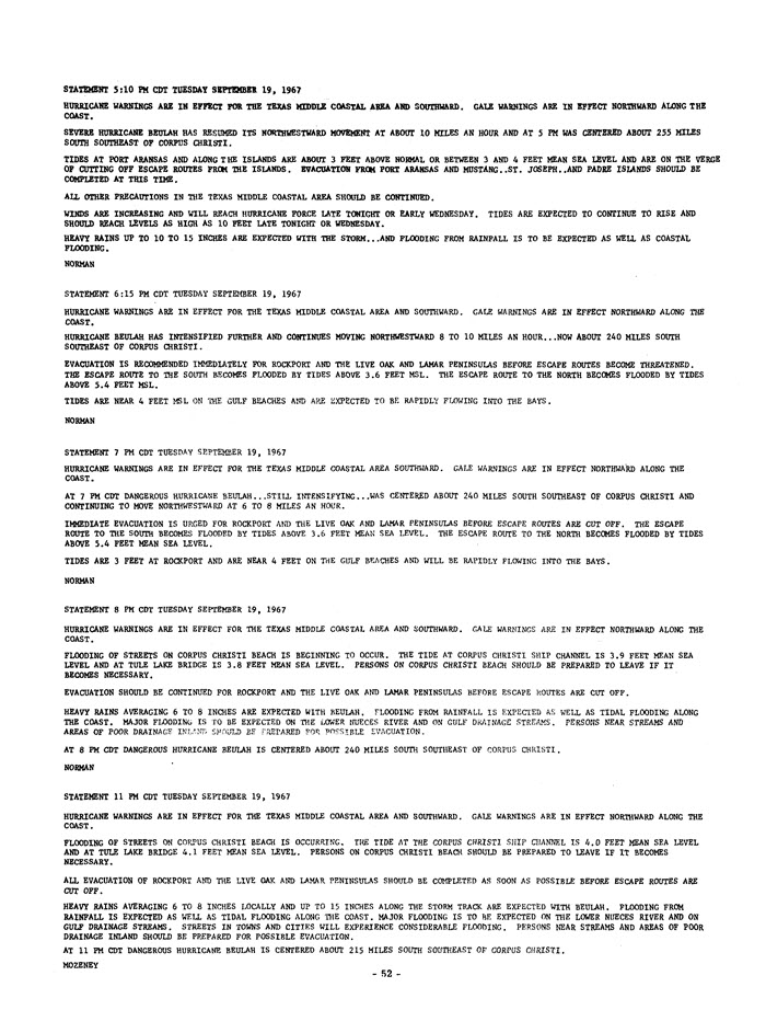
The most devastating storm surge occurred along the Lower Texas Coast. The storm surge may have been as high as 15 to 20 feet across coastal locations of Deep South Texas. The storm surge also produced 31 new cuts along South Padre Island. Across the Coastal Bend, tidal levels were not as high and generally ranged between 5 and 7 feet MSL.
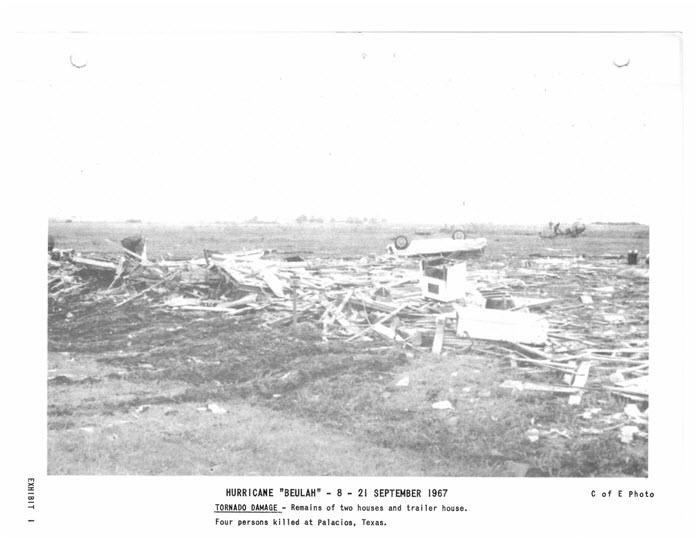
For the Coastal Bend into South Central and Southeast Texas, one of the primary hazards was the unprecedented number of tornadoes. At the time, Beulah set the record for number of tornadoes associated with a tropical system. It was estimated that around 115 tornadoes were spawned from the hurricane. In fact, speculation exists that there may have been as many as 140 tornadoes, but these additional reports could not be verified. The official record for tropical cyclone tornadoes was broken in 2004 as 120 tornadoes occurred with Hurricane Ivan. The tornadoes from Beulah occurred over a large area, ranging from the Texas coastal communities to South Central and Southeast Texas. Most of the tornadoes were small and short-lived, but two tornadoes resulted in several fatalities. Four people were killed in a tornado in Palacios while another tornado-related fatality occurred in Louise.
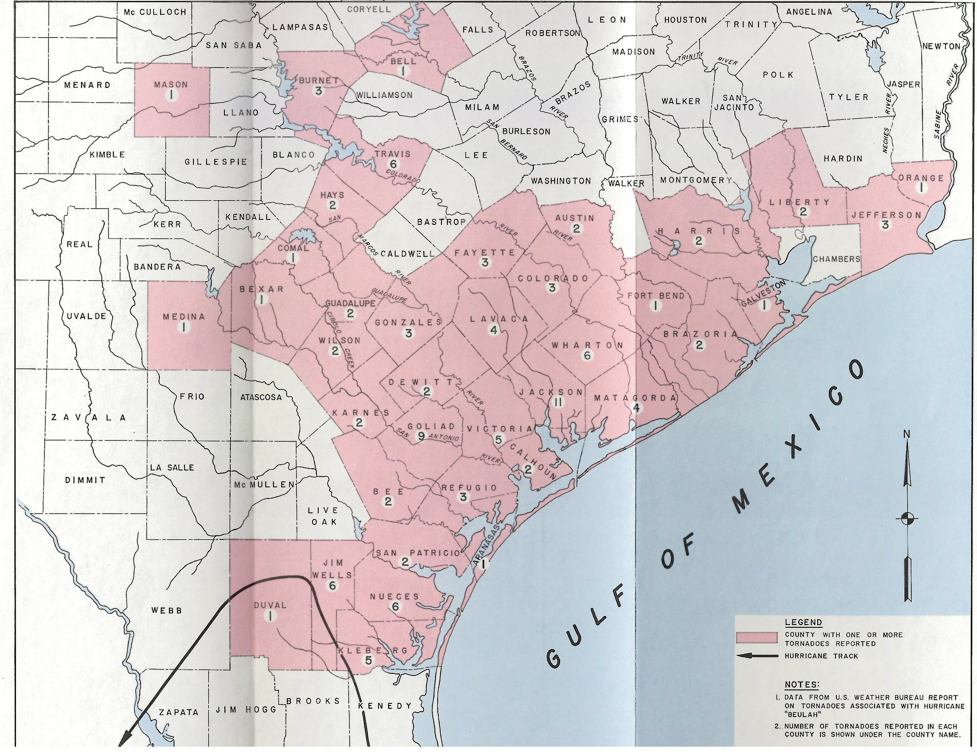 |
Figure 2. Tornadoes By County From Hurricane Beulah |
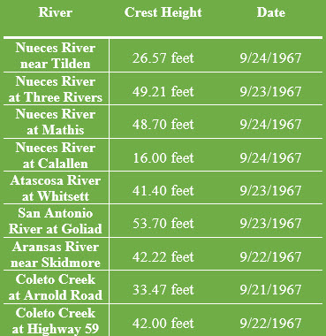 |
Figure 3. Record River Crests From Hurricane Beulah |
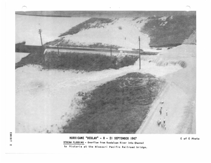
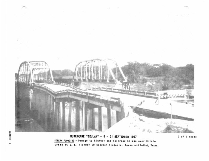
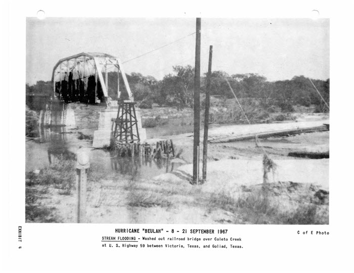
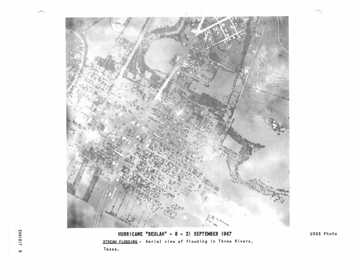
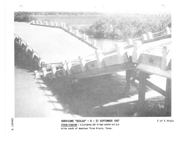
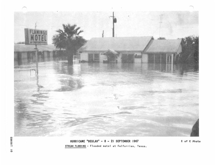
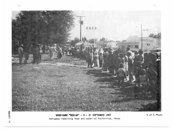
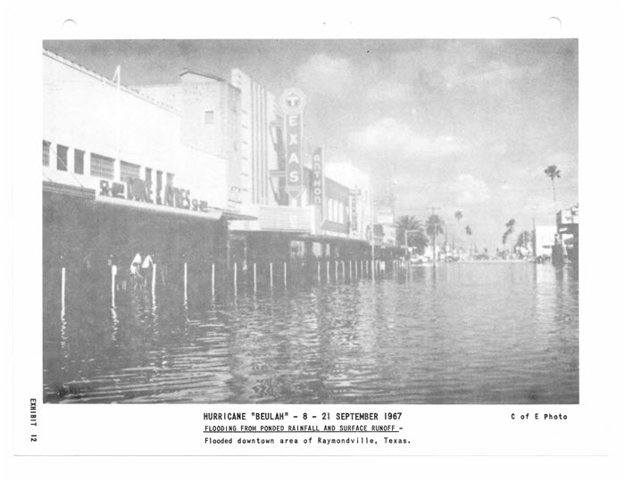
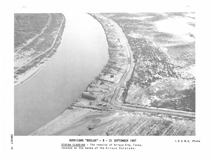
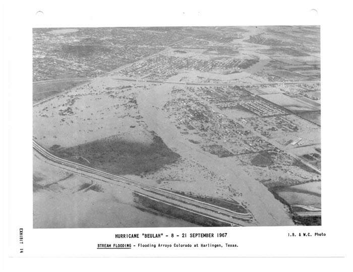
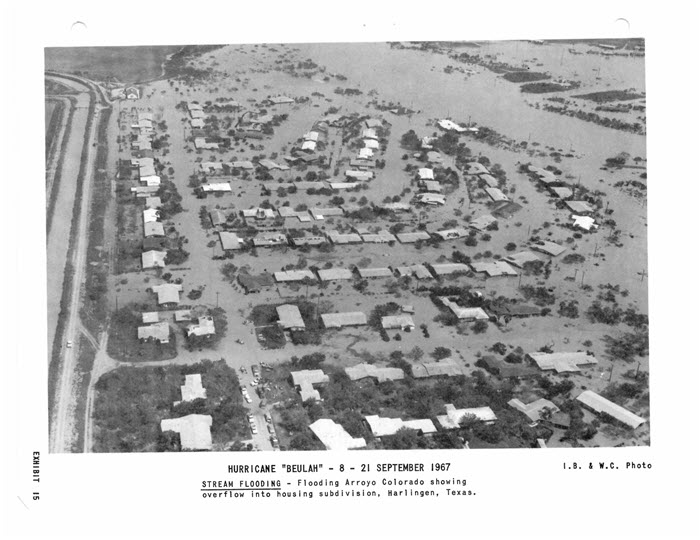
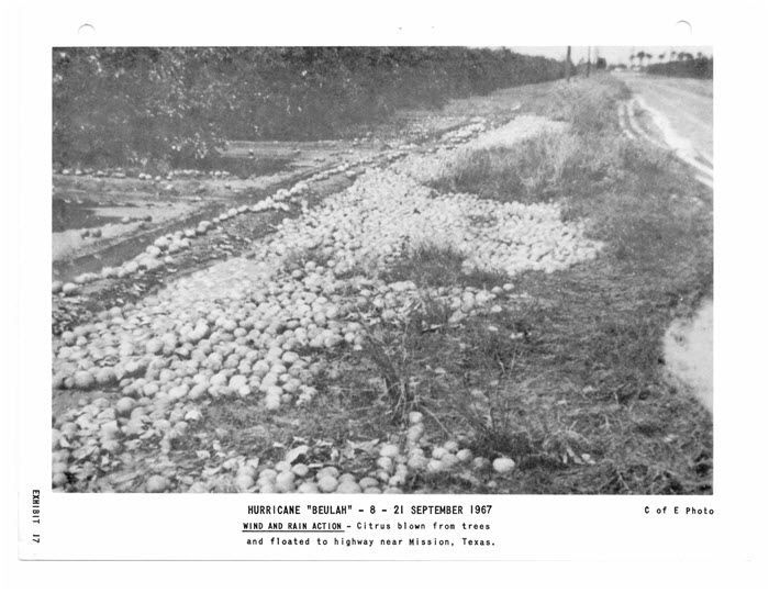
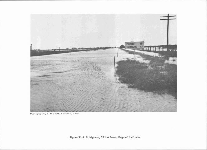
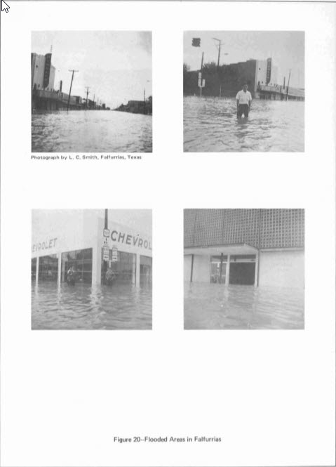
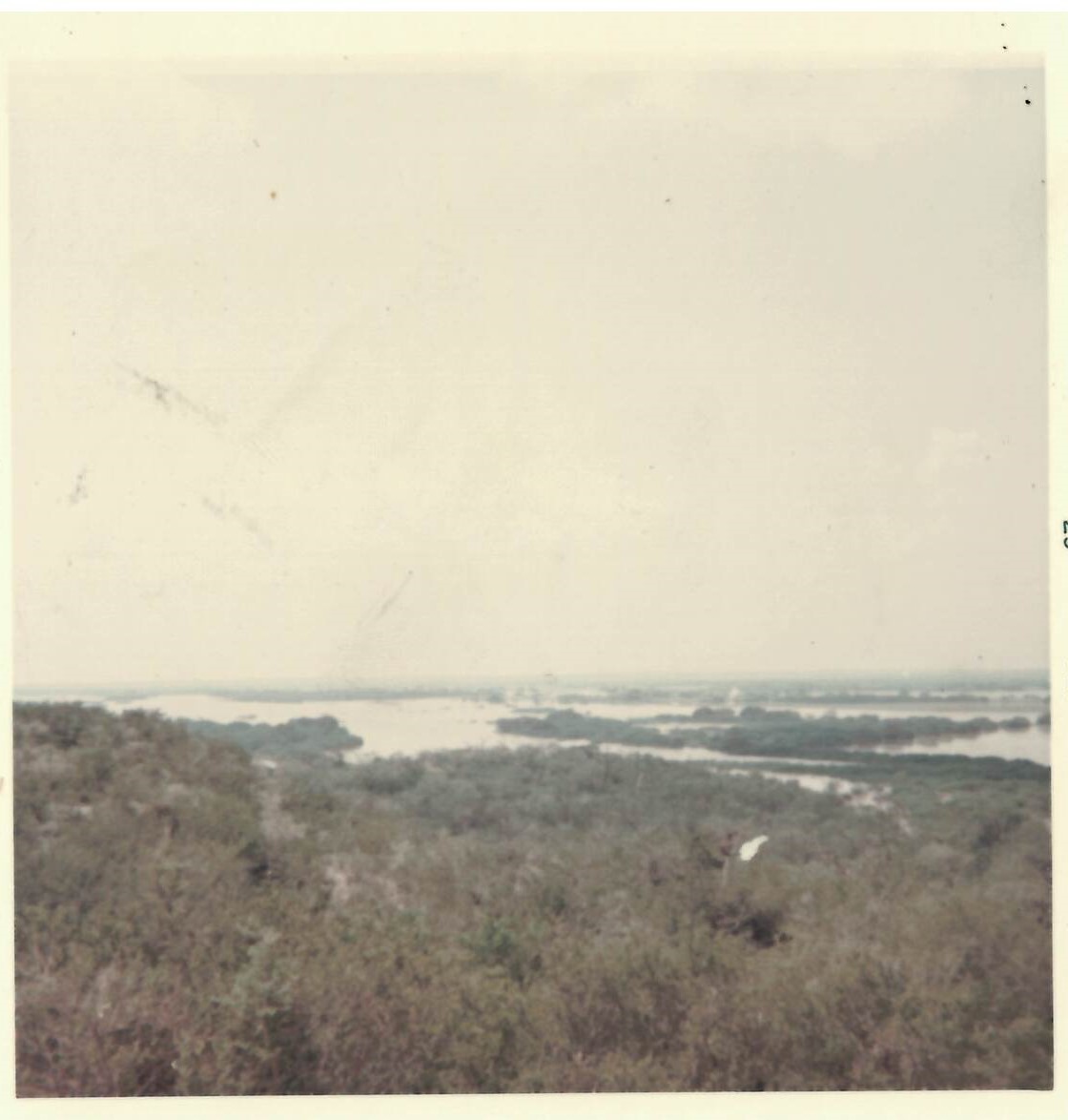
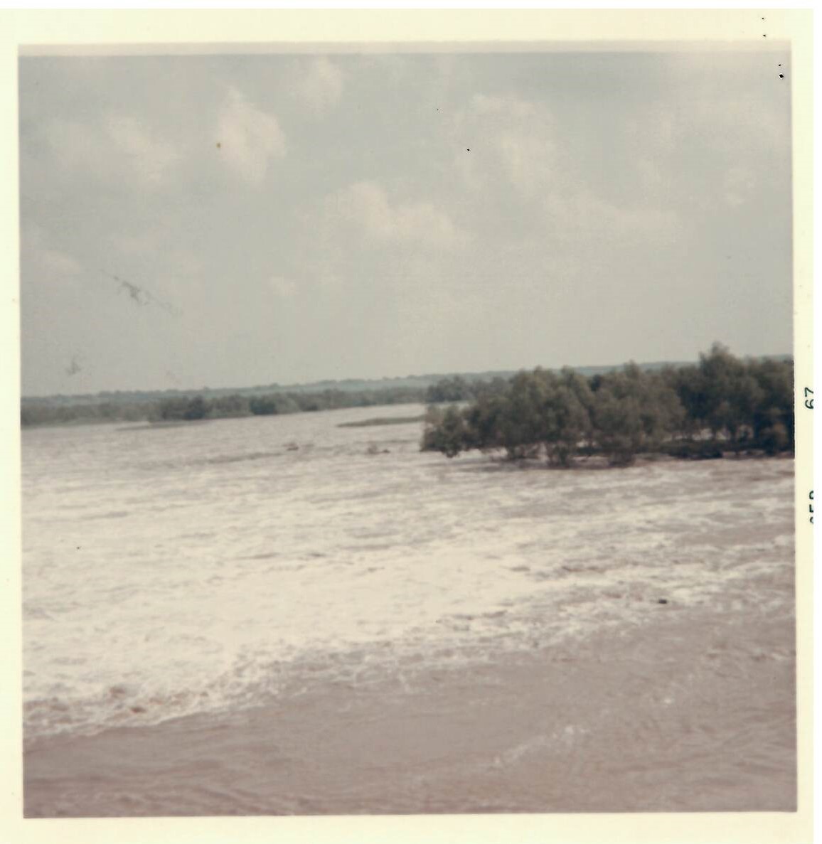
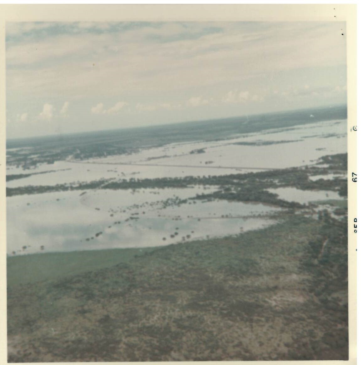
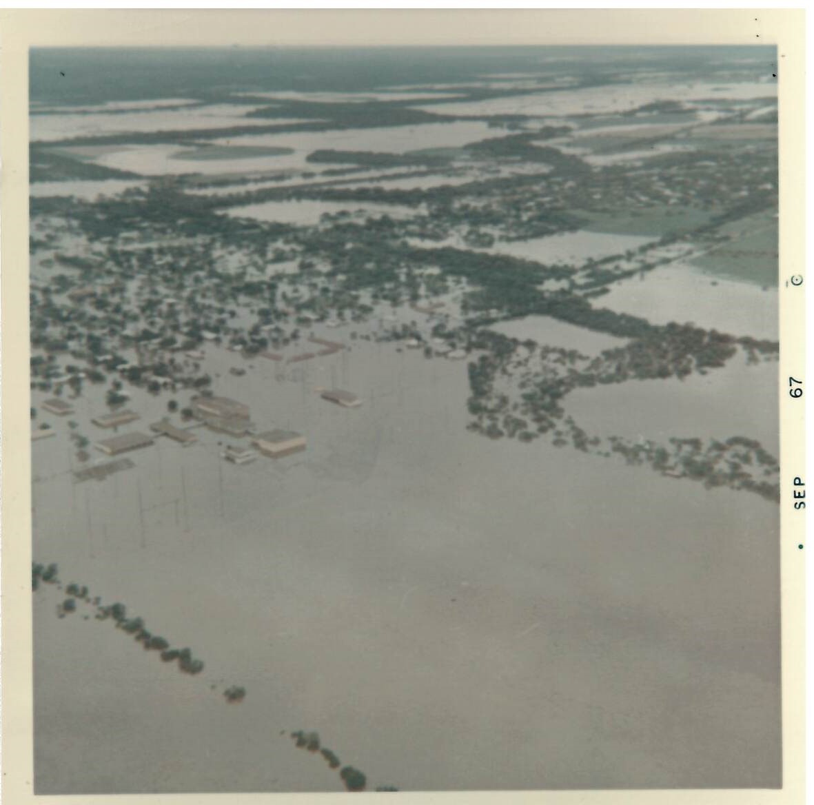
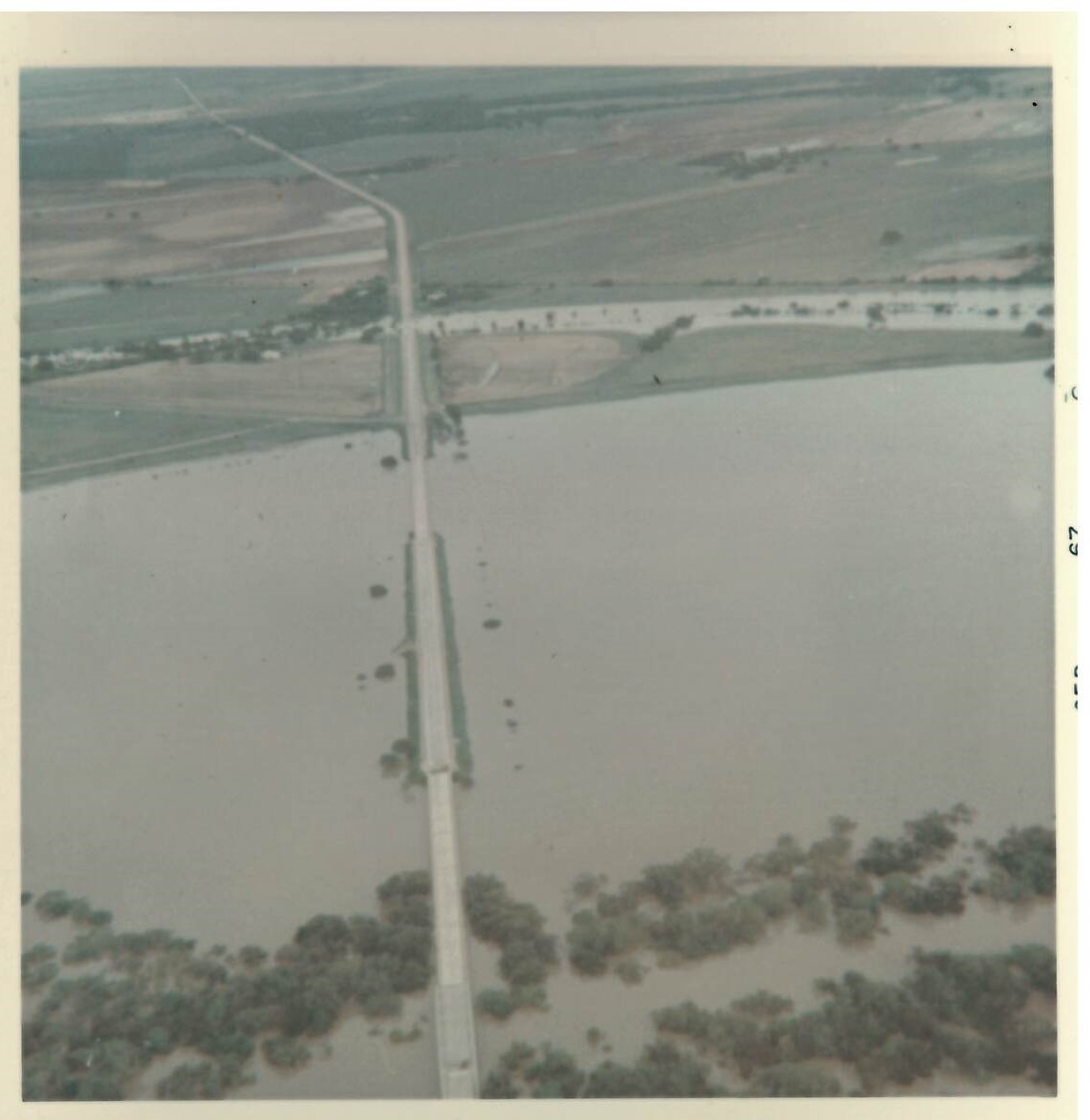
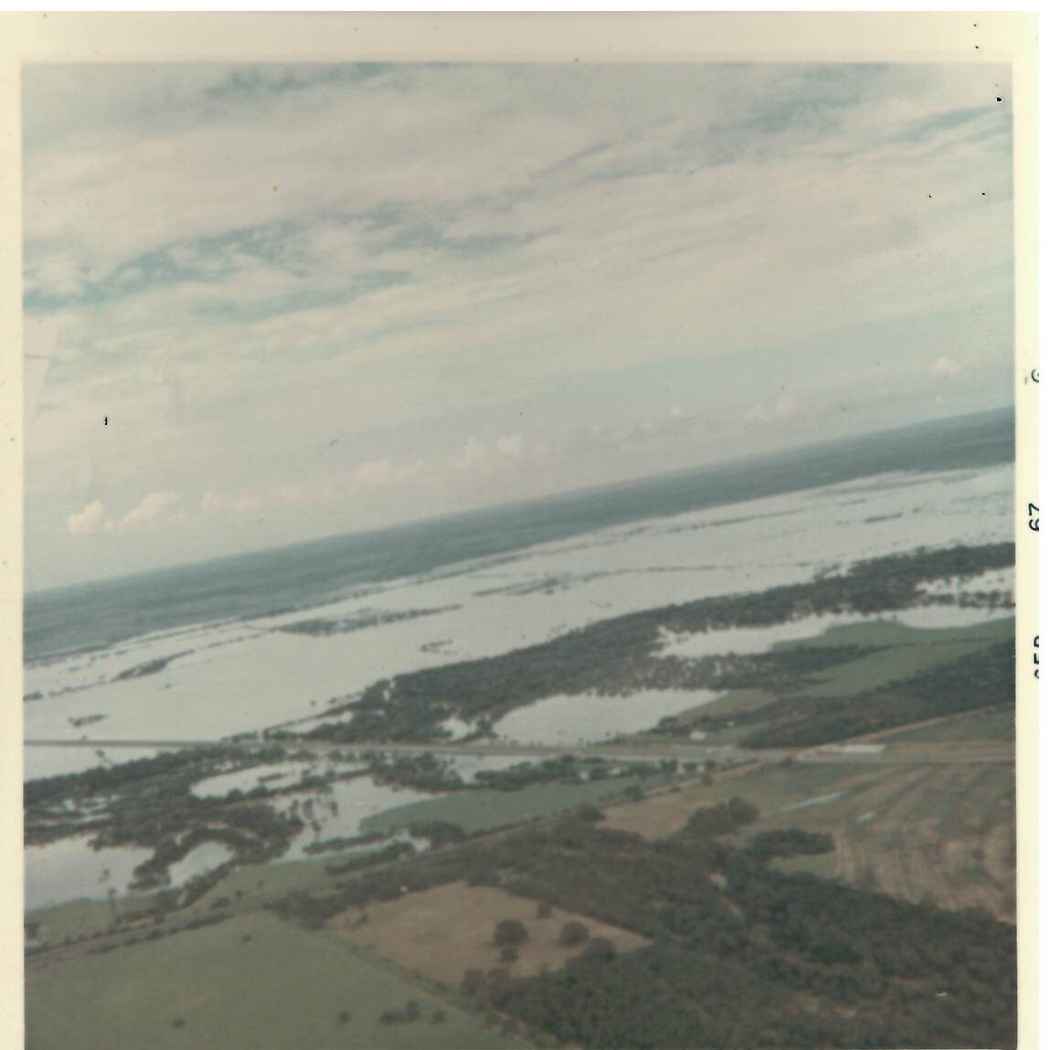
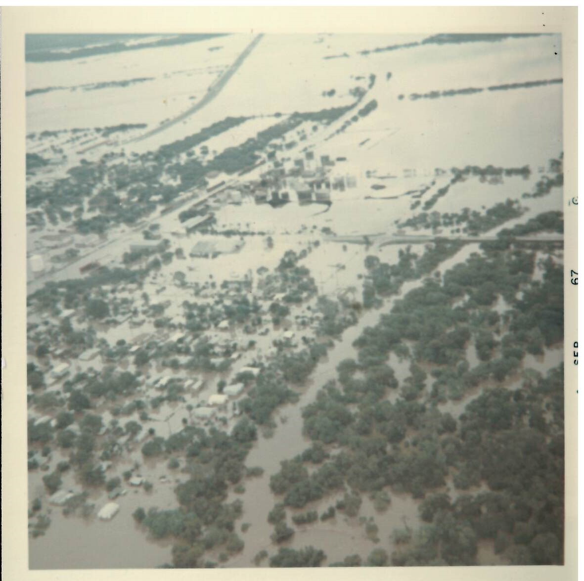
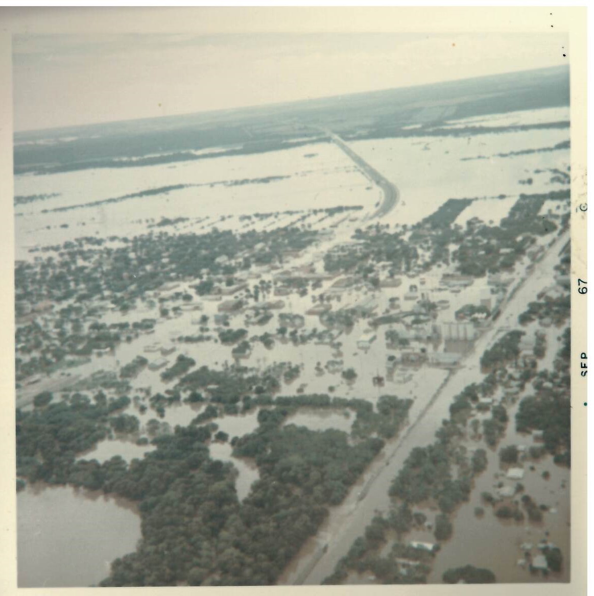
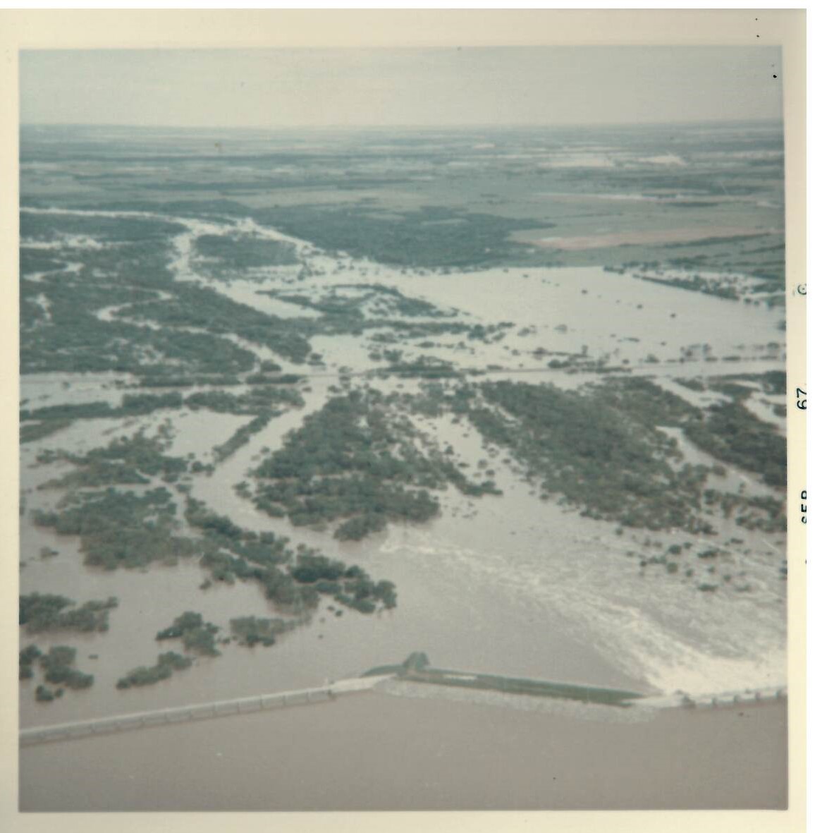
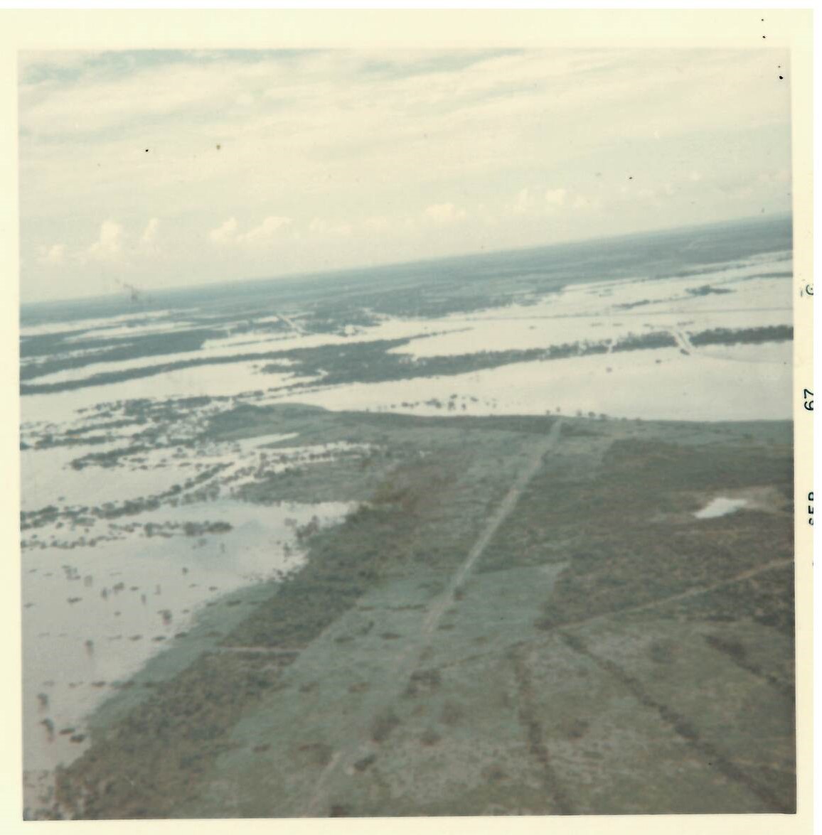
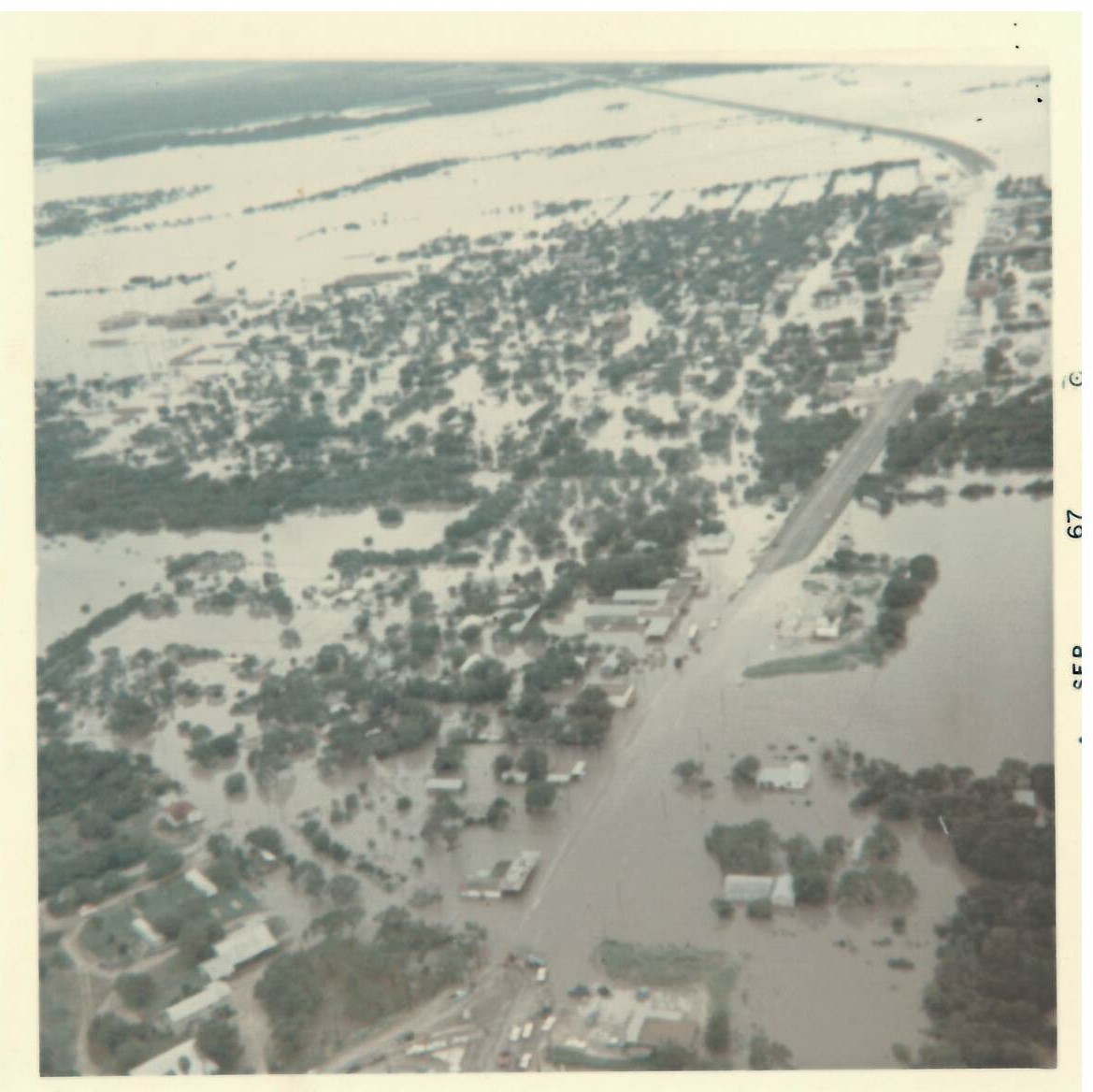
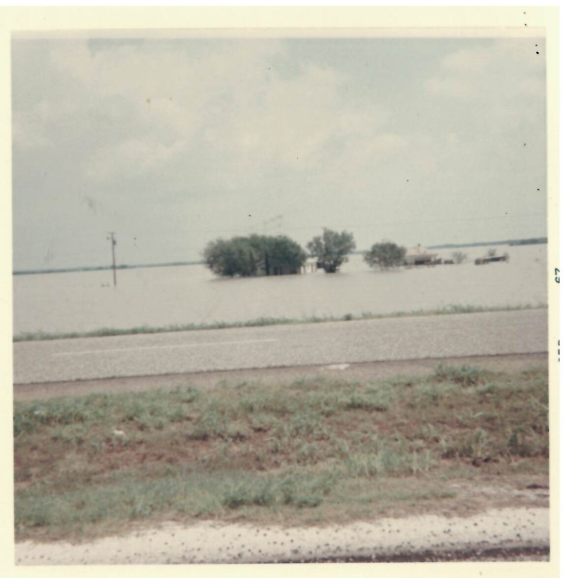
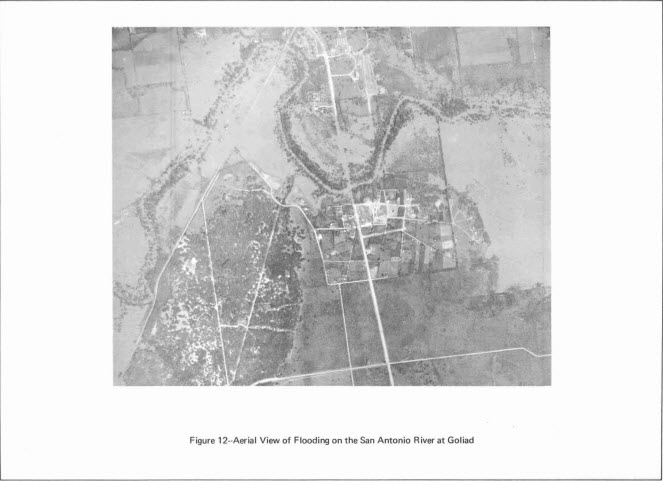
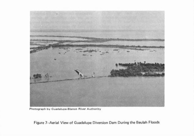
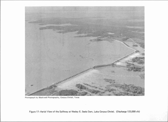
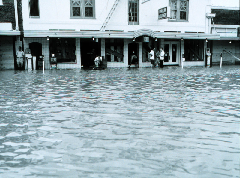
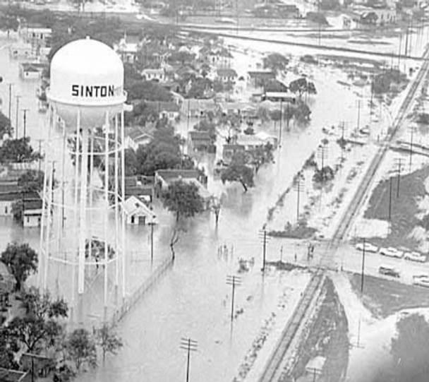
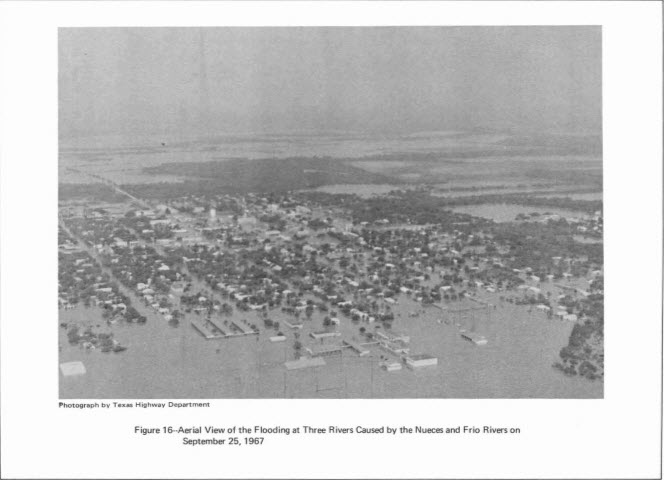
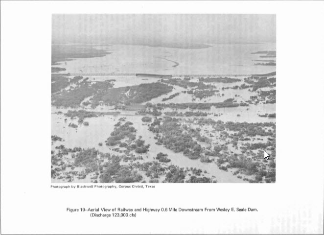
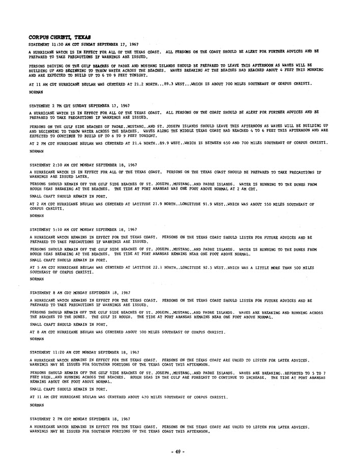
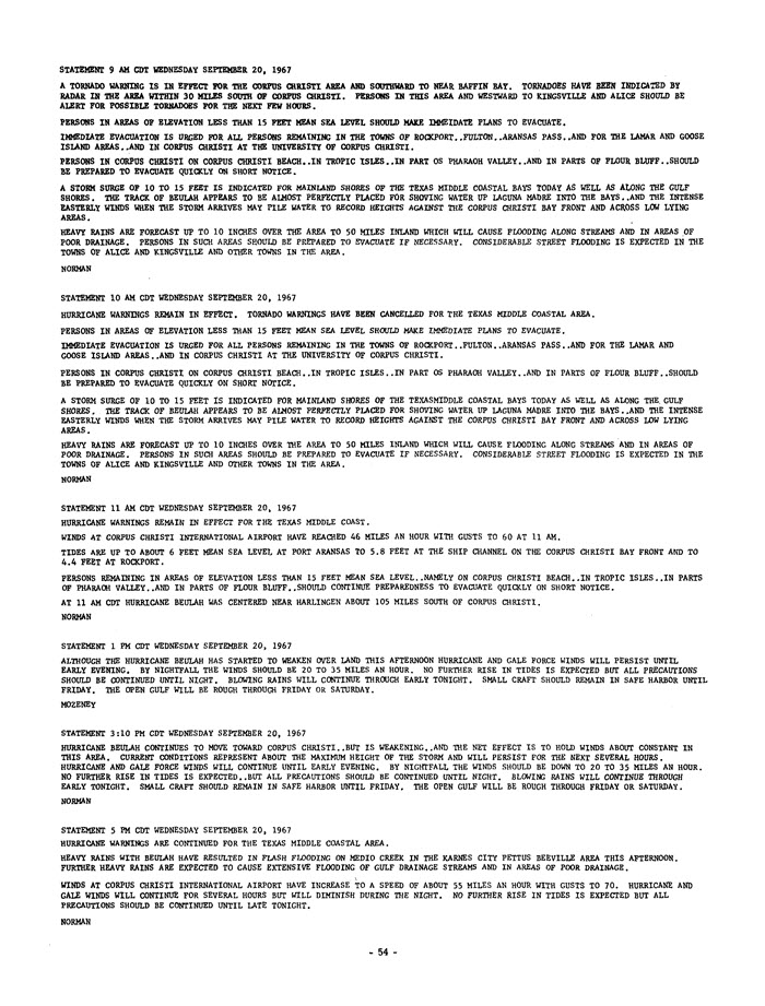
Torrential rains were the other main story with Beulah. Between 15 and 25 inches of rain fell over South Texas with some isolated pockets around 30 inches. The flooding problem was exacerbated by heavy rains which occurred in August and in early September. The antecedent conditions and heavy rains resulted in flash flooding and record level river flooding (some of which still stands today) on numerous local rivers. Many towns across South Texas were severely flooded and water remained on the ground for months in poor drainage areas of the Coastal Bend and Coastal Plains.
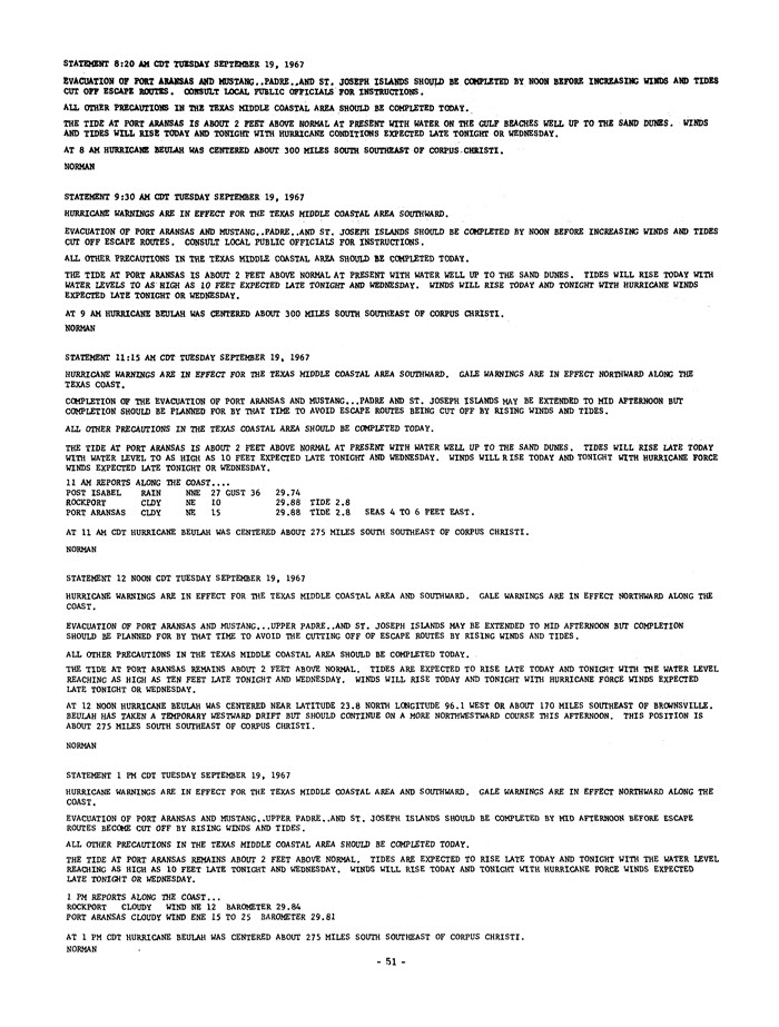
Hurricane Beulah was responsible for 58 fatalities with 15 of those occurring in Texas. Damages from Beulah totaled $217 million dollars in 1967 which equates to $1.59 billion dollars in 2017. Due to its deadly and costly nature, Beulah was retired and will never be used again as a hurricane name in the Atlantic Basin.
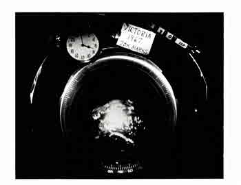
| Victoria Radar 145am | Victoria Radar 158am |
 |
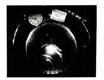 |
| Victoria Radar 323am | Victoria Radar 334am |
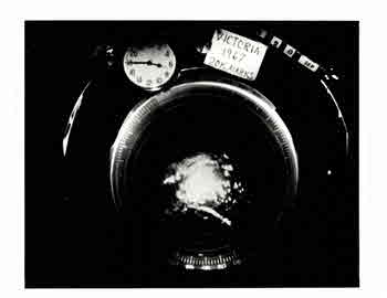 |
 |
| Victoria Radar 428am | Victoria Radar 734am |
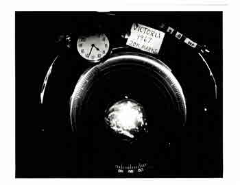 |
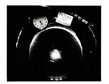 |
| Victoria Radar 830am | Victoria Radar 123am |
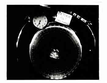 |
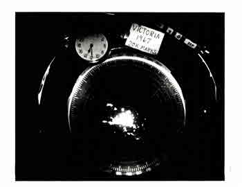 |
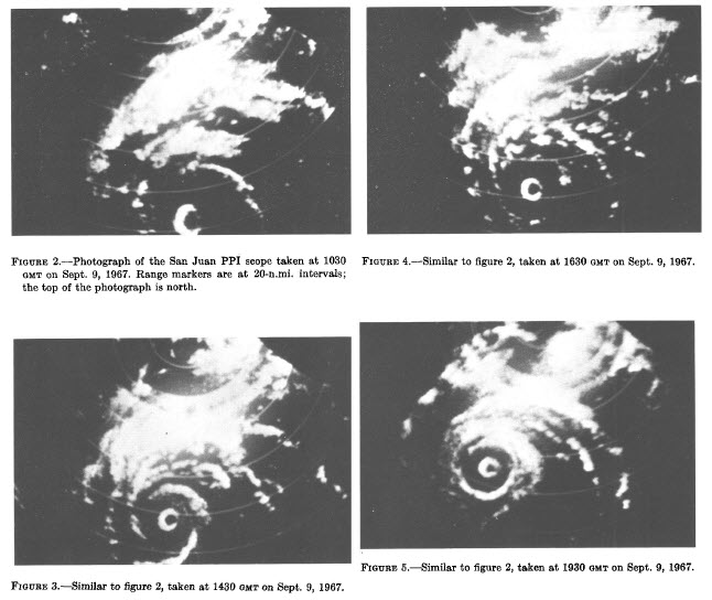 |
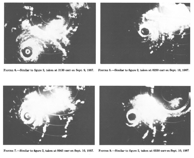 |
 |
|
