Office of Central Processing
National Program

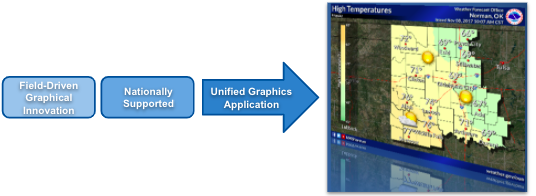
Here are some key aspects of the Unified Graphics Application:
Integration with NWS Operations: The transition to AWIPS ensures that NCEP forecasters have access to the same system used by forecasters at local NWS offices, promoting consistency and collaboration across the organization.
Integration with Data Sources: The UGA integrates with various data sources, including observational data, forecast models, satellite imagery, radar data, and numerical weather prediction models. This allows forecasters to access real-time and forecast data to create accurate and timely weather graphics.
Dissemination Channels: Once weather graphics are created, the UGA provides options for disseminating them to the public, emergency managers, media partners, and other stakeholders. This may include integration with NWS websites, social media platforms, mobile apps, and other communication channels.
The Unified Graphics Application at the NWS plays a crucial role in facilitating the creation, management, and dissemination of graphical weather products, ultimately helping to enhance public safety and awareness during weather events.

