National Weather Service United States Department of Commerce

Hazard Services (AWIPS)

 About Hazard Services

A multi-year, multi-phase effort to produce a powerful software package that modernizes how hazardous weather products are generated by the NWS. This new forecast and hazard creation software on the AWIPS workstation will replace three existing applications, each with its own interface, menu list, and process of issuing forecasts or weather warnings. By combining these applications into one framework with a single interface, the forecasting process will be streamlined with a unified creation workflow that is highly configurable and customizable. For more information, check out this NWS poster.


Existing Applications

 WARNGEN

WARNGEN is focused on generating the textual content of official weather warnings and advisories.

  • WARNGEN is a software tool used by meteorologists to generate official weather warning messages.
     
  • It is used to create the text-based content of weather warnings, advisories, and other official statements issued by the National Weather Service.
     
  • While it can incorporate graphical information, its primary function is to craft clear and concise text messages that communicate the specific details and severity of weather hazards to the public, emergency responders, and other stakeholders.
     
  • WARNGEN messages are typically disseminated through various communication channels, including radio, television, weather websites, social media, and NOAA Weather Radio.


 Graphical Hazards Generator (GHG)

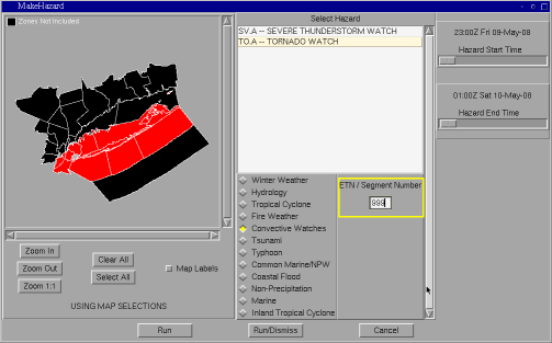
Graphical Hazards Generator is focused on creating visual representations of weather hazards

  • GHG is primarily focused on creating graphical representations of various weather hazards.
     
  • It allows users to input specific criteria such as location, time frame, and type of hazard to generate graphical depictions of potential hazards based on forecast data.
     
  • The emphasis is on creating visualizations that can be used for forecasting, public awareness, emergency planning, and decision-making purposes.
     
  • GHG provides a broad overview of hazards and their potential impacts, often in the form of maps, charts, and other visual aids.


 River Pro

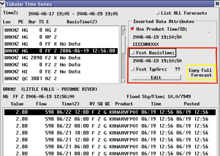
RiverPro is specialized software designed for hydrologists to forecast river levels and potential flooding events. 

  • Allows hydrologists to simulate river flow and water levels based on various factors such as precipitation, snowmelt, soil moisture, and river morphology.
     
  • Integrates real-time data from various sources, including rainfall gauges, river gauges, weather radar, and numerical weather prediction models, to provide up-to-date and accurate forecasts.
     
  • The software includes graphical interfaces and visualization tools to display forecasted river levels, flood inundation maps, and other relevant information.
     
  • Users can customize models and parameters based on local hydrologic conditions and the specific characteristics of the river basin being studied.