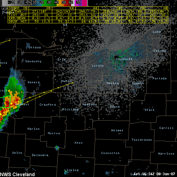
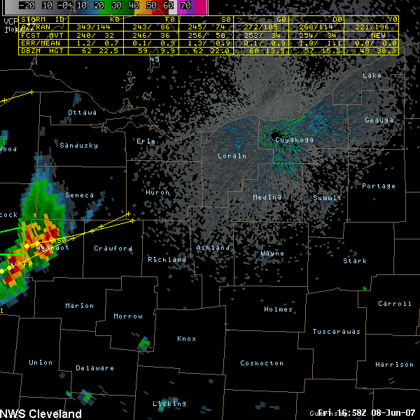
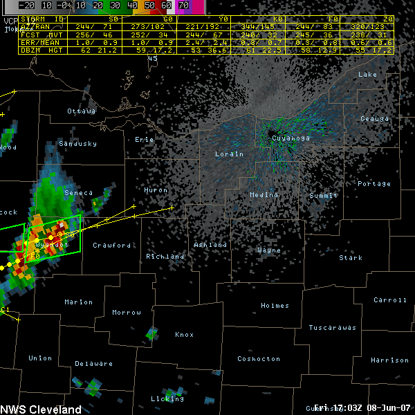
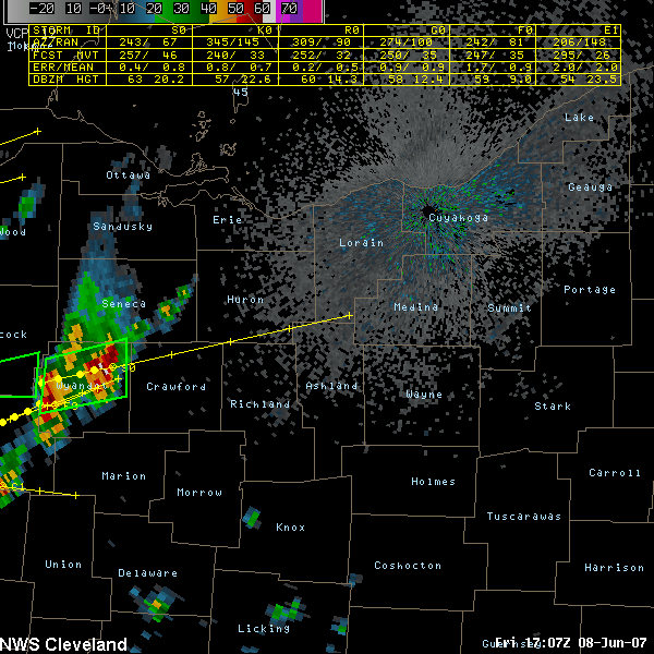
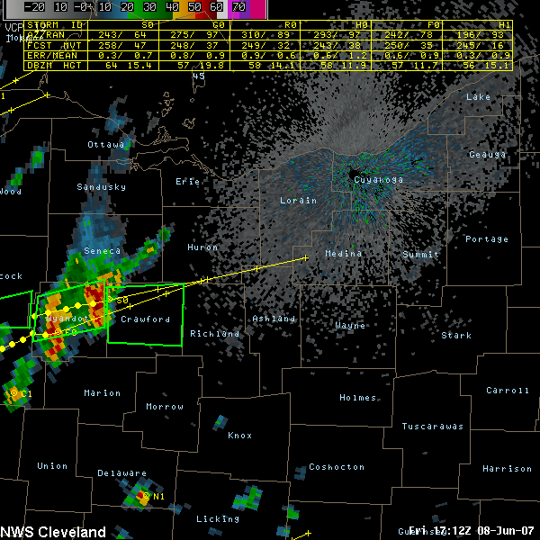
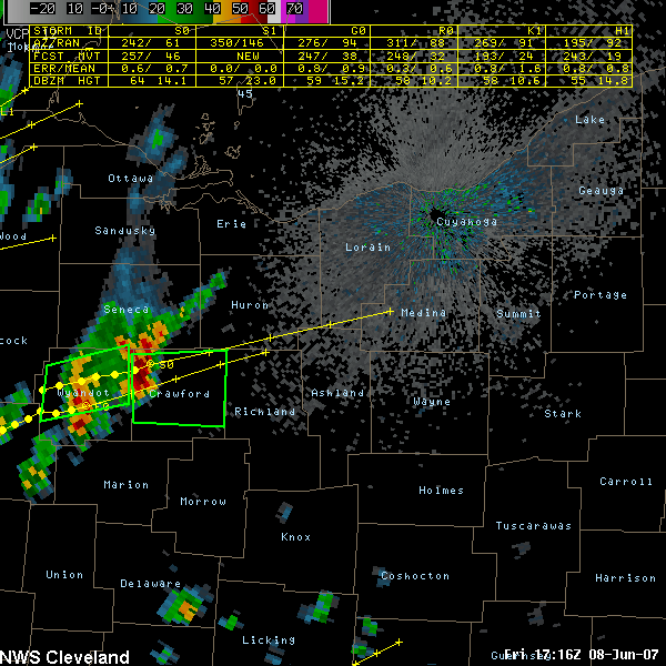
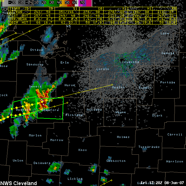

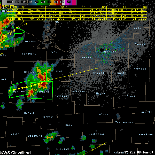
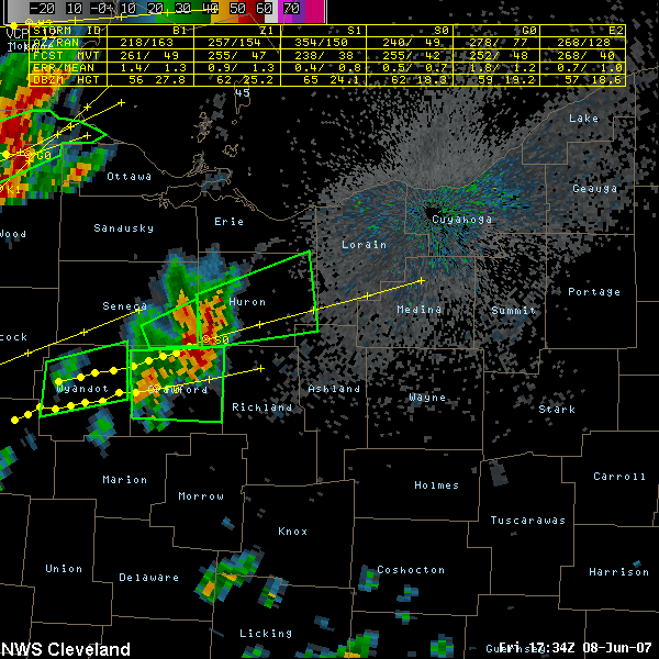
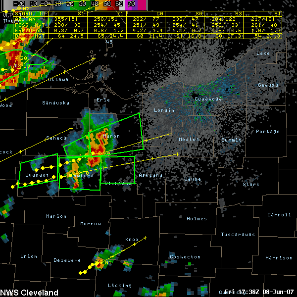
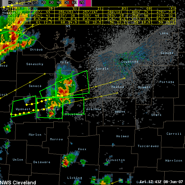
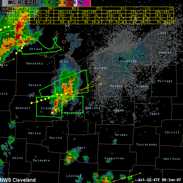
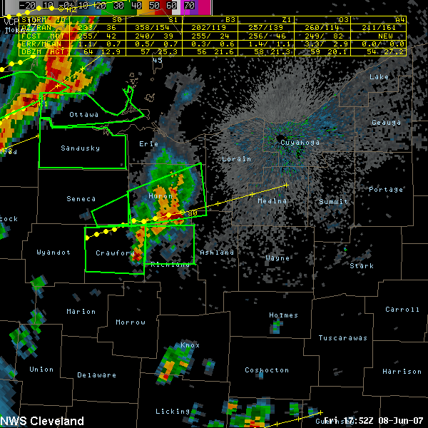
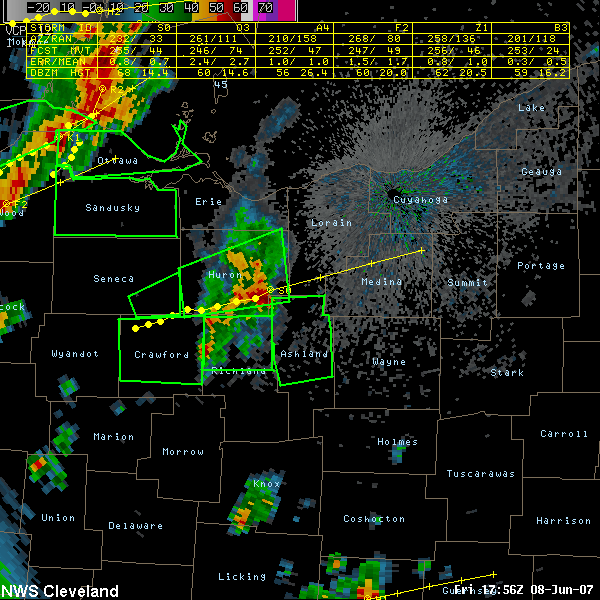
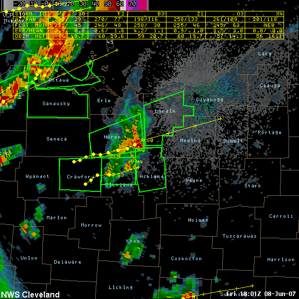
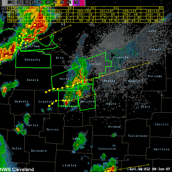
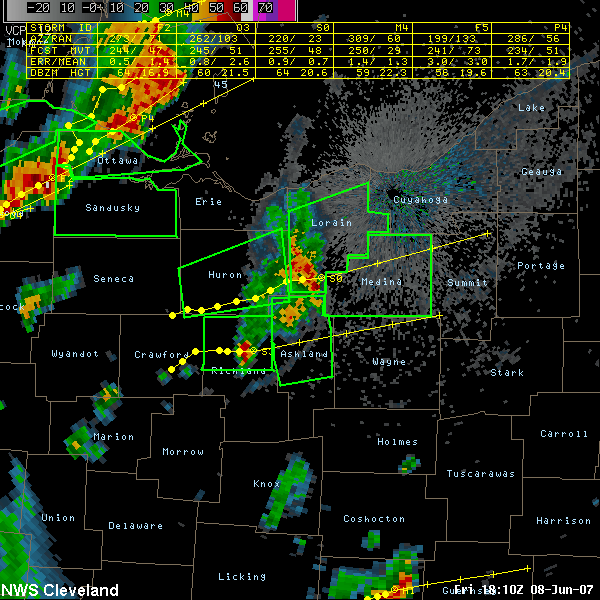
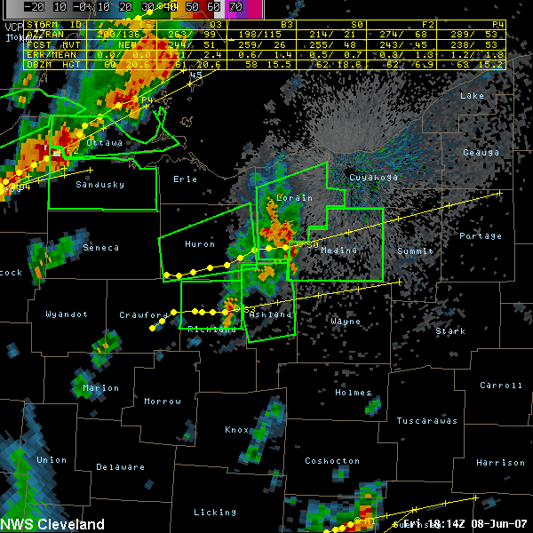
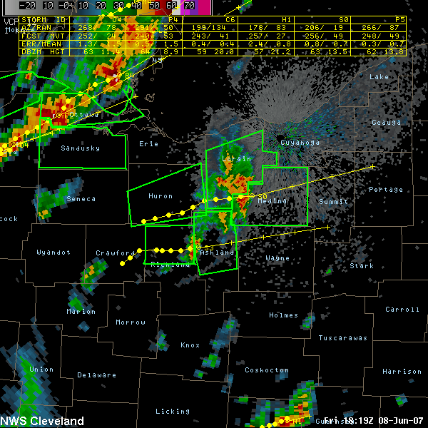
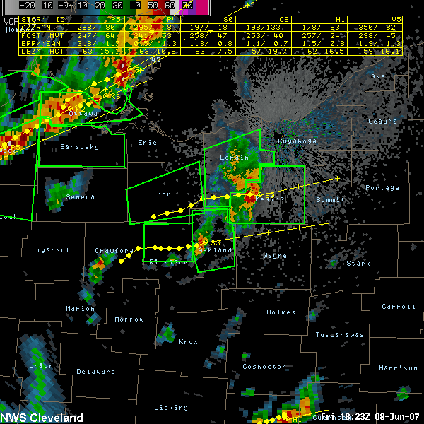
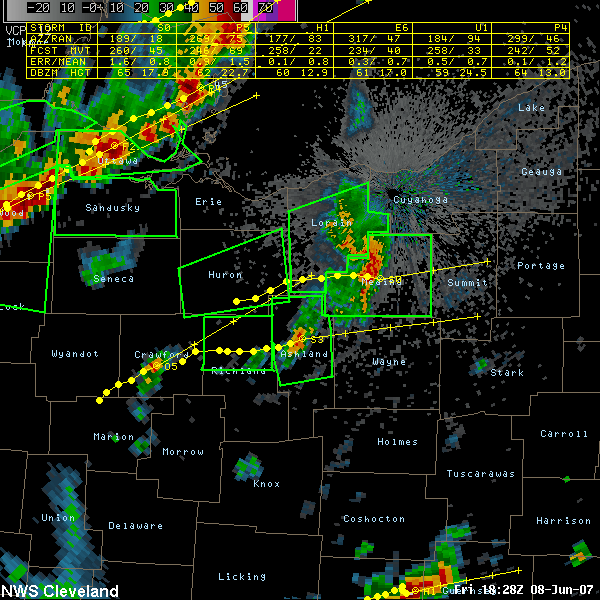
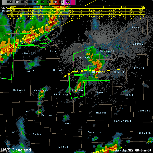
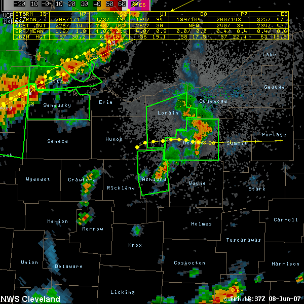
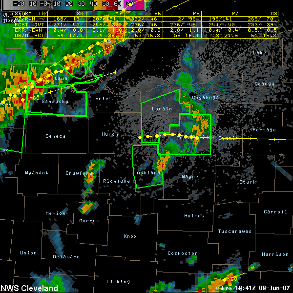
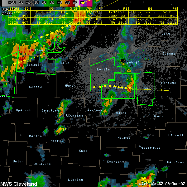
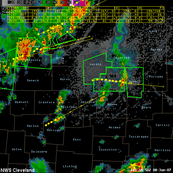
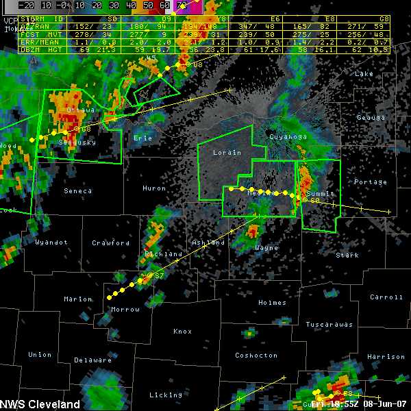
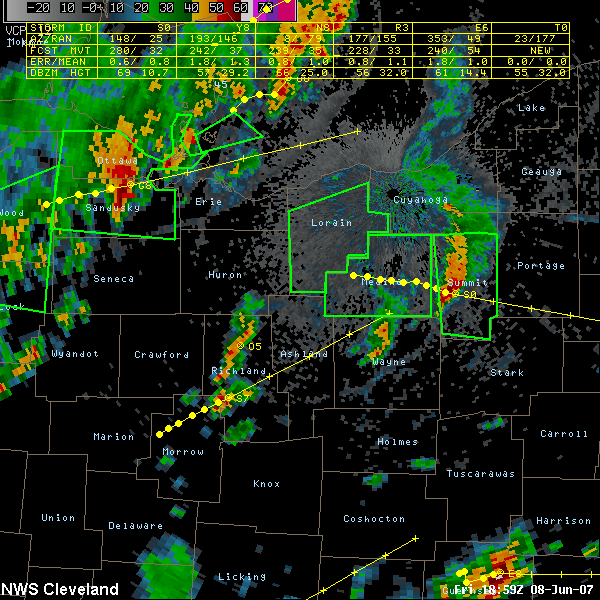
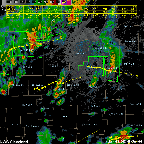
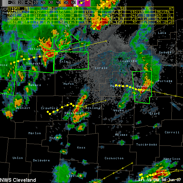
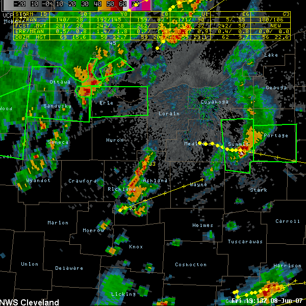
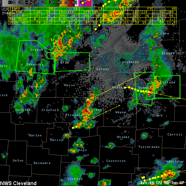
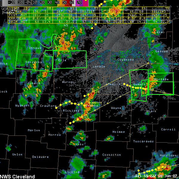
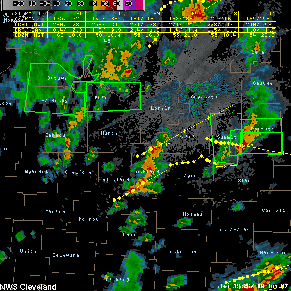
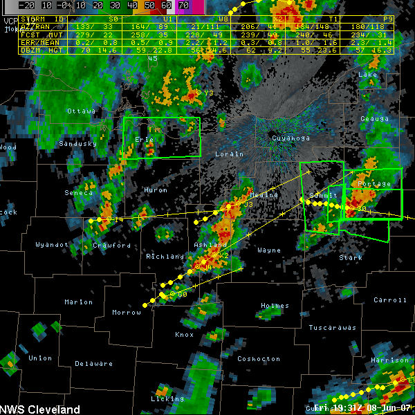
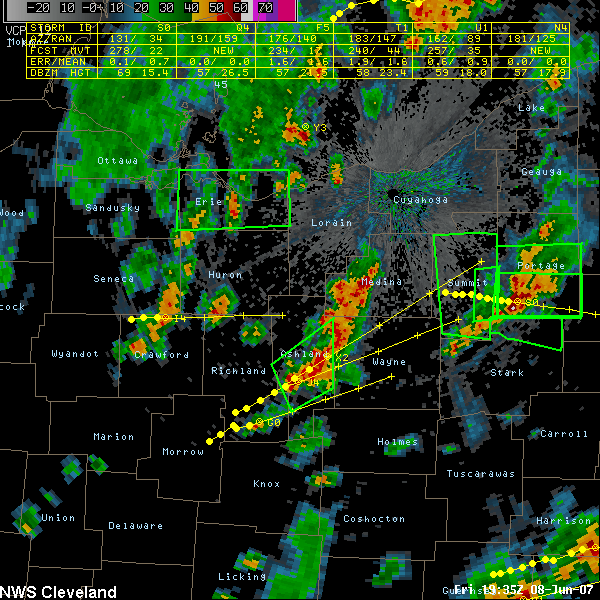
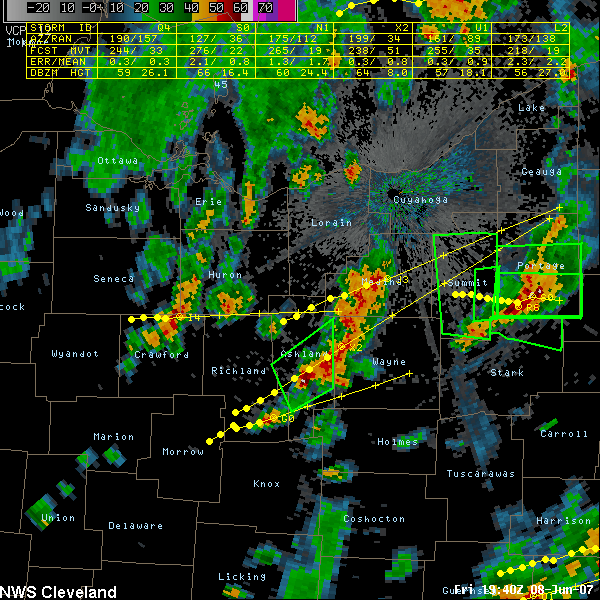
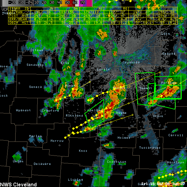
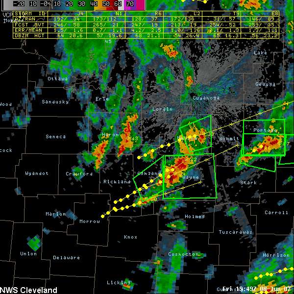
This is an animation of the Summit Co./Akron storm as it crosses multiple counties. It reached its maximum in intensity in Summit county. Also ploted in a green outline are the NWS CLE warnings that were in effect and, in yellow, a graphical representation of the current position and radar forecast track of the storm all of the way across north central Ohio. The images began at 1254 PM EDT and end at 349 PM EDT.
Back to event page.

