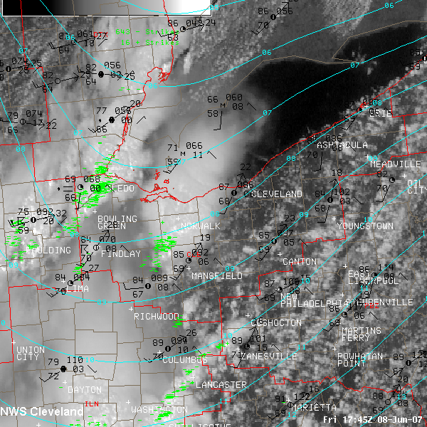


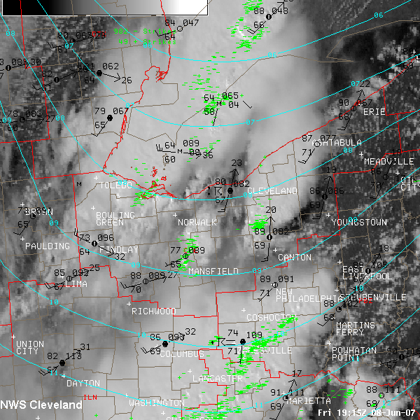


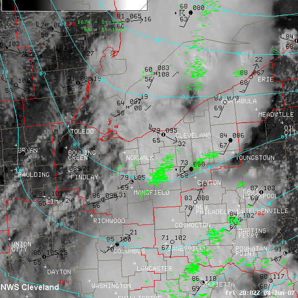
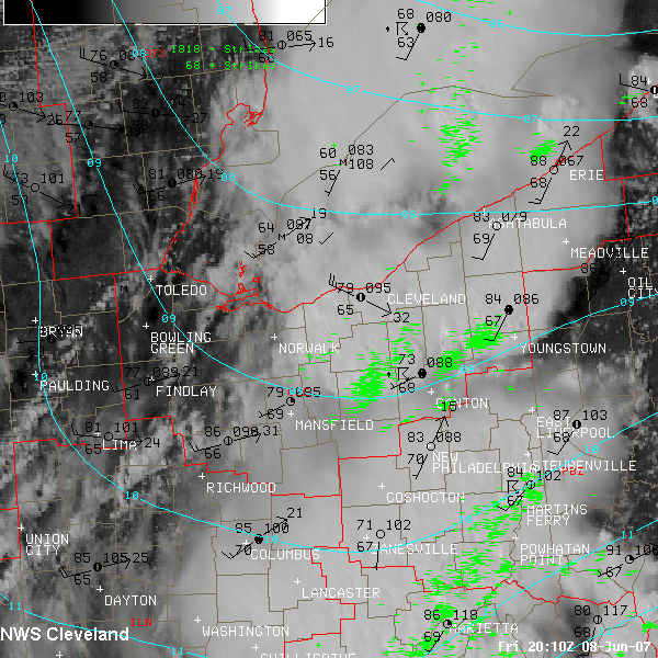
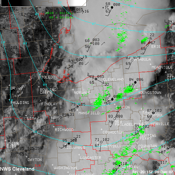
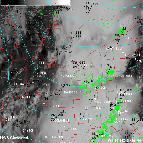
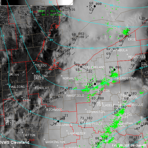
The service area of NWS Cleveland is outlined in red. It includes much of northern Ohio and two counties in northwest Pennsylvania.
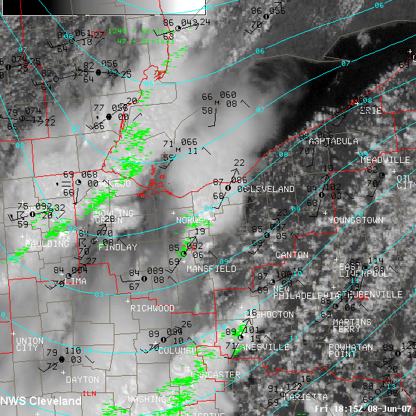
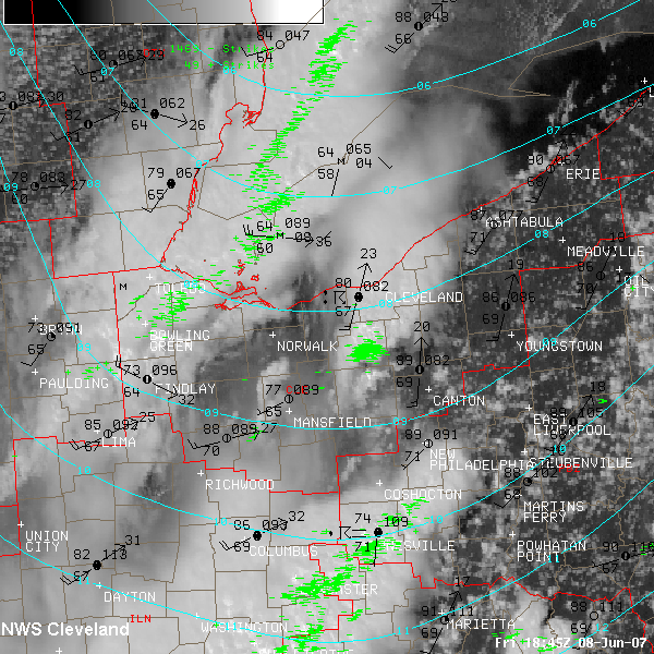
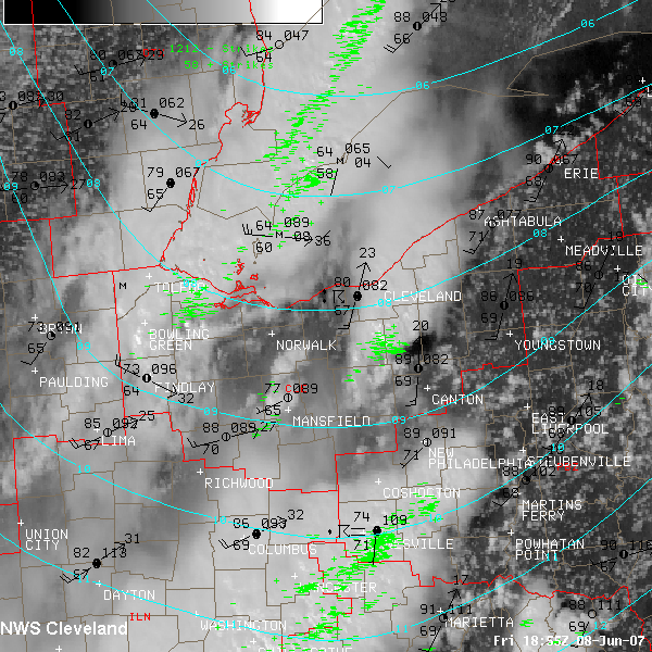
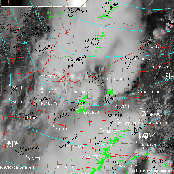
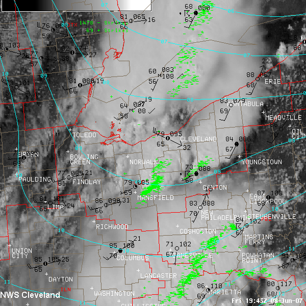
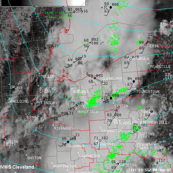
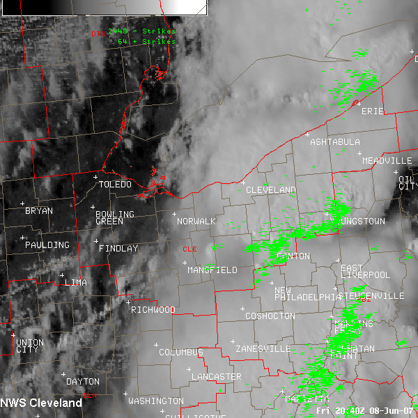
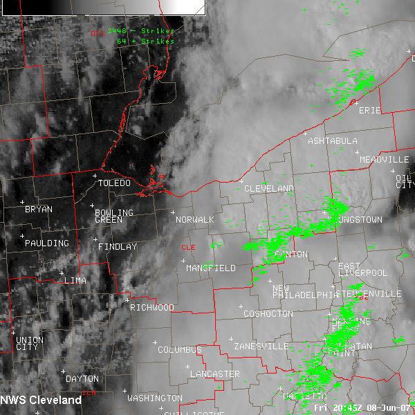
This set of images takes you from 145 PM EDT when the cold front was located across southeast Michigan and northern Indiana to 445 PM EDT.
The green pluses and minuses are 15 minutes worth of cloud to ground lightning being detected. The hourly METARs are also plotted. The upper-left value is the temperature. Wind gusts are plotted at the tip of the arrow.
Back to event page.

