After over two weeks of dry weather, northern Ohio received a deluge of rainfall, flooding large expanses of counties from Lucas county in northwest Ohio through Huron county to Cuyahoga county.
There were numerous reports of severe weather in the form of damaging winds and large hail. A NWS Storm Survey revealed two tornadoes touched down, one in Holmes county (F2) and the other in Stark county (F1). Elsewhere across northern Ohio, widespread straight line wind damage downed many trees and power lines, and several buildings sustained structural damage.
Holmes County Tornado - F2 |
|||||||||||||||||||
|
The tornado touchdown was just west of Mt. Hope and tracked east to near Winesburg. The vast majority of the damage was F1, with a few areas of F2 damage. |
||||||||||||||||||
Stark County Tornado - F1 |
|||||||||||||||||||
|
Initial touchdown was just west of Brewster and the tornado lifted near Navarre. The tornado track was embedded within areas of downburst wind damage. |
||||||||||||||||||
Flooding |
|||||||||||||||||||
|
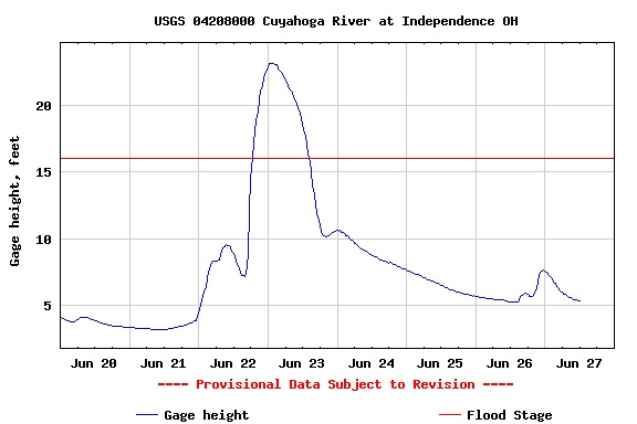
On Wednesday, June 21, a warm front was located across western Ohio focusing showers and thunderstorms with heavy rainfall across northwest Ohio. That complex of storms pushed east with the front Wednesday evening. That placed northern Ohio in the warm sector, allowing warm and very moist air to be pumped into the region. As the cold front associated with this system approached Ohio, it slowed down, allowing additional storms to form and track repeatedly over the same locations. The cold front finally passed south across Ohio Friday morning. Click here for a loop of the surface frontal progression. The complex of thunderstorms which developed over northern Ohio on the 21st brought torrential rainfall in excess of 6 inches in 6 hours across much of northwest and north central Ohio between Lucas County (Toledo Area) and Ashland County (60 miles southwest of Cleveland). Massive urban flooding was reported in Sylvania and Toledo in Lucas County, Port Clinton in Ottawa County, and Norwalk in Huron County. Primary and secondary roads throughout the region were impassable, and many water rescues and evacuations took place. Flooding across this area was by far the worst since 1969, when 10 to 14 inches of rain fell under a similar weather pattern. Norwalk was particularly hard hit, with over 800 homes flooded or evacuated Wednesday night. Water flowing out from the Norwalk Reservoir Spillway was at a level not seen since 1969, when the dam failed.
Radar estimates of rainfall from the 21st (between Noon and 8 am the next morning) were as much as 5 to 7 inches (blue colorfill) with isolated higher amounts. The swath of rainfall went through Lucas, Sandusky, and Huron counties.
Notable 2 day precipitation totals for the area: |
|||||||||||||||||||