The winter of 2022-2023 will be remembered for its extreme lack of snowfall and very mild overall temperatures. The winter started out promising for snow lovers with early season cold in mid-October followed by several bouts of cold air in mid-to-late November. This led to lake effect snows across the primary snowbelt of Northeast Ohio and Northwest Pennsylvania. The first snowflakes of the season occurred during the nighttime hours of October 17-18 when 1 to 2 inches of wet snow fell in the higher terrain of the snowbelt from Geauga County through Erie and Crawford Counties in Northwest Pennsylvania. After a warm up in late October through the first half of November, additional cold air got the lake effect snow machine cranking November 16-20. An intense band of lake effect snow set-up along the lakeshore of Ashtabula and Erie Counties from the evening of November 16 through the early morning of November 17 with snowfall rates of 2 to 3 inches per hour at times. This deposited over 18 inches of snow in Monroe Township and over 16 inches in Ashtabula and Springboro Township, with 13 inches falling at the Erie International Airport. These heavy snow totals largely occurred in only 12 hours and resulted in portions of Interstate 90 needing to be closed for several hours. Lighter lake effect snows then continued to impact the lakeshore areas of Erie County Pennsylvania off and on over the next couple of days. Eventually the band shifted southward and intensified in the early morning hours of November 20. This resulted in widespread accumulations across most of the snowbelt east of Cleveland where 5 to 10 inches was common. The highest totals were 12.1 inches in Thompson Township, 11.5 inches in Montville, and 10 inches in Rock Creek. Temperatures averaged below normal for October and around normal for November.
As the calendar flipped to December, the cold and snow disappeared for most of the month. It looked as though December would be virtually snowless for the second year in a row, but then the most impactful storm system of the entire winter hit the region just in time for Christmas. A powerful arctic cold front swept across northern Ohio and Northwest Pennsylvania in the early morning hours of December 23 as low pressure tracked up the frontal boundary and rapidly intensified while lifting across Ontario Province. This resulted in temperatures dropping from the upper 30s and low 40s late on December 22 into the sub-zero range by daybreak on December 23. Rain showers quickly changed to snow showers as this arctic air moved in leading to a flash freeze on area roadways which caused numerous accidents. Moderate to occasionally heavy snow and wind gusts of 40 to 60 mph led to whiteout conditions and significant blowing and drifting snow during the morning of December 23. Blizzard conditions were observed near the lakeshore. The poor visibility and blowing snow caused a major traffic accident on the Ohio Turnpike involving over 50 vehicles. This resulted in 4 fatalities and over 70 injuries. Wind gusts very slowly subsided on Christmas Eve but remained above 30 mph through the day which caused pockets of low visibility to continue as well as additional blowing and drifting. Snowfall from this storm generally averaged 2 to 6 inches, but drifts as deep as 1 to 2 feet were reported. In addition to the strong winds and blowing snow, this system brought brutal cold to the region. Sub-zero temperatures combined with the wind created wind chill values of 25 to 40 degrees below zero during the peak of the event. This led to 2 exposure-related fatalities as well as a number of burst pipes across the region. Several hundred accidents, slide-offs, or disabled vehicles were reported during the two day event with around 200 injuries resulting. Temperatures remained in the single digits until Christmas morning before temperatures moderated to above normal levels once again to close out the month. Temperatures averaged around normal to slightly above for the month of December, so the Christmas extreme cold event was brief and offset by an otherwise mild month.
After the New Year, the winter became very warm and uneventful. January and February both averaged 6 to 9 degrees above normal in all of northern Ohio and Northwest Pennsylvania. Akron-Canton ranked in the top 5 warmest Januarys on record, but February was even more impressive with Akron-Canton, Cleveland, Mansfield, and Youngstown all recording their second warmest February on record. It is no surprise that this kept snowfall light and sporadic, but a low pressure system did produce 3 to 6 inches of snow across much of North Central Ohio on January 22 followed by another system which produced a quick hitting 2 to 5 inches of wet snow in Northwest Ohio on January 25. February recorded very little snowfall areawide.
March was more seasonable, but temperatures still averaged slightly above normal across the entire region with below normal snowfall. There was one significant late season lake effect snow event March 18-19 because the mild winter inhibited ice formation on Lake Erie. This event produced snowfall totals of 6 to 10 inches across much of the primary snowbelt of eastern Cuyahoga, Lake, Geauga, and Ashtabula Counties into Erie and Crawford Counties in Northwest Pennsylvania. April featured above normal temperatures with only a trace of snow in most areas making everyone think that winter was finally done, but a slow moving upper level low pressure system May 1-3 produced a rain/snow mix during the night time hours. Snow amounts of 1 to 2 inches fell in the higher elevations of Geauga and southern Lake Counties on May 2 giving winter one last appearance before finally ending for good.
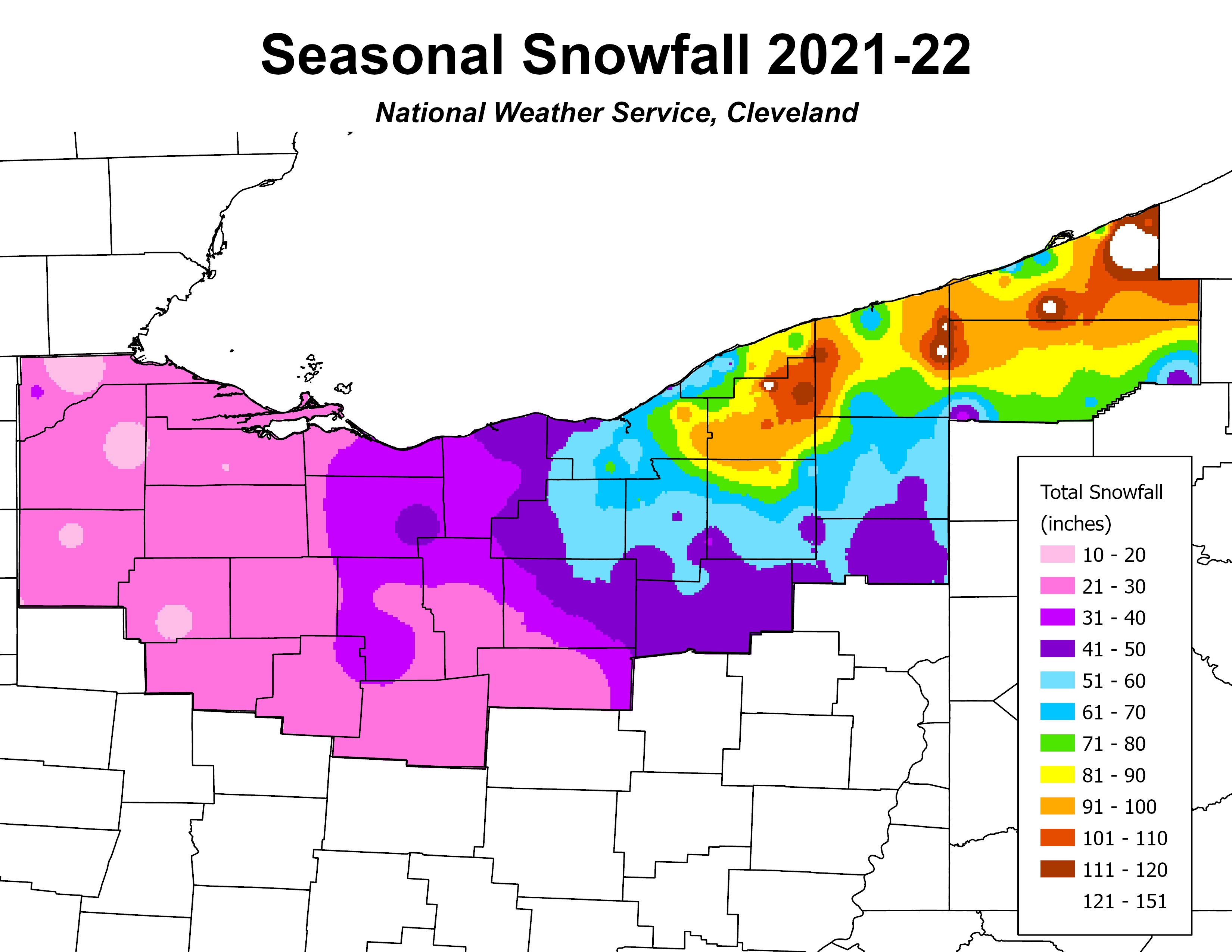
Seasonal snowfall totals were impressively low for the winter as a whole. Most of northern Ohio only received 10 to 25 inches of snow which is 30 to over 40 inches below average! The snowbelt counties east of Cleveland generally received 30 to 60 inches, but normal amounts in these areas are typically 70 to over 100 inches. Some portions of interior Erie County, Pennsylvania saw 80 to 125 inches of snow, but the remainder of Northwest Pennsylvania was well below normal with seasonal totals under 65 inches.
Summary of Snowfall at Climate Sites
(Preliminary until Certified by NCEI)
| 2022-2023 | October '22 | November '22 | December '22 | January '23 | February '23 | March '23 | April '23 | May '23 | Totals |
| Toledo (TOL) | 0 | 0.4 | 1.2 | 7.9 | 0.9 | 3.9 | T | 0 | 14.3 |
| Mansfield (MFD) | T | 0.6 | 4.1 | 9.0 | T | 0.8 | T | T | 14.5 |
| Cleveland (CLE) | T | 1.8 | 4.7 | 11.0 | 1.2 | 4.0 | T | T | 22.7 |
| Akron-Canton (CAK) | 0.9 | 1.9 | 5.4 | 9.5 | 0.6 | 2.9 | 0.1 | T | 21.3 |
| Youngstown (YNG) | 1.5 | 1.8 | 5.4 | 9.1 | 0.4 | 4.6 | T | T | 22.8 |
| Erie, PA (ERI) | T | 22.9 | 6.5 | 11.1 | 1.7 | 9.8 | T | T | 52.0 |

