***Maine Severe Weather Preparedness Week...How to Stay Informed***
Part of a good severe weather safety plan is knowing what to expect ahead of time. There are a number of tools and resources to help you prepare for severe weather, whether it’s several days away, or happening in your neighborhood right now.
Outlook Phase – One to Three Day Forecasts
The Storm Prediction Center has several outlooks that show the possibility of severe weather several days in advance: https://www.spc.noaa.gov/ In addition, the NWS Caribou Forecast Office Caribou is constantly monitoring for the potential of severe weather. For the latest updates, visit https://www.weather.gov/car
How to Receive Severe Weather Watches/Warnings
How will you know when severe weather is about to strike? Here are a few resources:
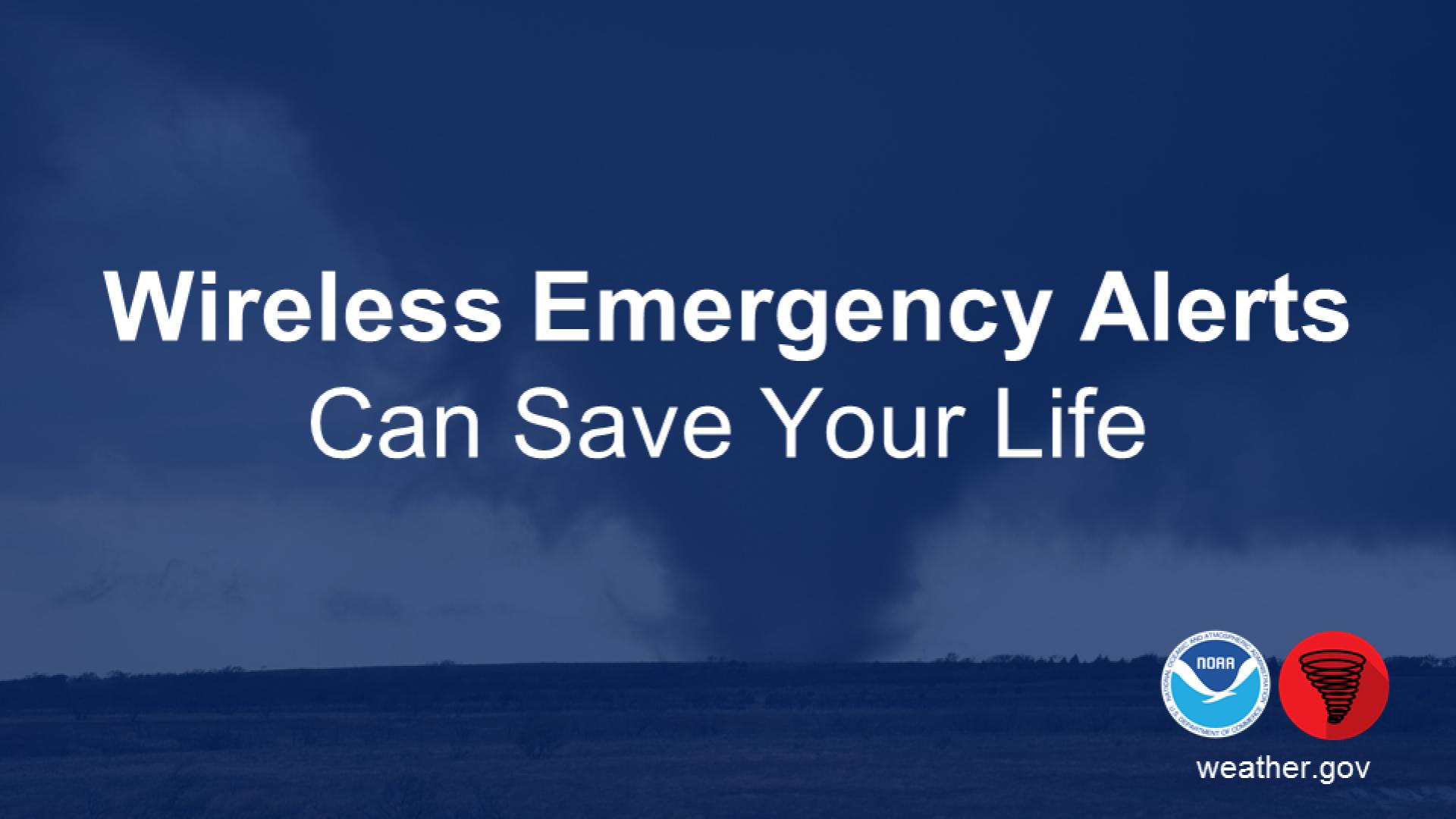
* Wireless Emergency Alerts (WEA) – WEA will automatically alert you on your cell phone if you are within a Tornado or Life Threatening Flash Flood Warning. https://www.weather.gov/wrn/wea
* FEMA Weather App and/or Private Weather Enterprise Apps – You can download weather apps for your phone that provide you alerts when severe/tornado/flash flood warnings are issued by the NWS for your area. FEMA app can be downloaded here: https://www.fema.gov/mobile-app
* All our warnings and watches are on our website at https://www.weather.gov/car and can be found on our X feed @NWSCaribou.
* NOAA All Hazards Weather Radio is a worthwhile investment that may one day save your life. A battery operated NOAA weather radio with tone alert capabilities is one of the quickest and most reliable ways to receive severe weather information. https://www.weather.gov/nwr/


 Coastal Flood