...A STATISTICAL PREVIEW OF CARIBOU'S OCTOBER WEATHER...
The most rapid downward slope of daily maximum temperatures occurs during the month of October with the average high falling from 59 degrees on the 1st to 45 by months end. The average low temperature falls from 39 on the 1st to 30 by months end.
The warmest temperature ever observed during the month of October was 82 degrees on October 9, 2011. The coldest temperature ever observed in October was 14 degrees on October 22, 1940 and again on October 19, 1972.
Snow is possible at any time during the month of October, but is rare during the first half of the month, and becomes a much more likely event mid to late month. The snowiest October was in 1963 when a total of 12.1 inches of snow fell during the last 3 days of the month. The deepest snow on the ground was also in 1963 with a snow depth of 9 inches on the 30th and 31st.
Since 1940 a trace of snow has been observed in Caribou in all but 8 years. Measurable snowfall (one tenth of an inch of greater) has been observed 62 percent of the time. The largest calendar day snowfall was 9.4 inches on October 29, 1963.
Tropical systems or the remains of tropical systems occasionally can affect the area with heavy rainfall. The likelihood of a tropical or ex-tropical system diminishes during the course of the month.
Thunderstorms are not unheard of in October, but are not a frequent occurrence with less than one thunderstorm day (0.7) observed during the month.
OCTOBER: CARIBOU’S TOP 5 WARMEST (AVERAGE TEMPERATURES):
51.4 DEGREES in 2017
48.8 1947
48.4 1968
47.8 1995
47.6 2007
OCTOBER: CARIBOU’S TOP 5 COLDEST (AVERAGE TEMPERATURES):
38.3 DEGREES 1972
38.7 1940
39.1 1976
39.1 2009
39.2 1974
OCTOBER: CARIBOU’S TOP 5 WETTEST
8.73 INCHES 1990
7.38 2005
6.58 2003
6.35 1970
6.28 1981
OCTOBER: CARIBOU’S TOP 5 DRIEST
0.63 INCHES 1955
0.88 1994
0.90 1947
1.15 1974
1.31 1997
…OCTOBER STATISTICS…
….TEMPERATURES (1981-2010 NORMALS)
AVERAGE HIGH……………………….....................................52.0
AVERAGE LOW………...........................................................34.6
MONTHLY AVERAGE…………………………………………..43.3
…PRECIPITATION…
MONTHLY AVERAGE………………………………………….....3.53 INCHES
AVERAGE DAYS WITH MEASURABLE PRECIPITATION…..13 (13.1)
LARGEST CALENDAR DAY RAINFALL………………………..4.05 INCHES, OCTOBER 3, 1970
AVERAGE SNOWFALL…………………………………………..1.7 INCHES
MOST SNOWFALL………………………………………………..12.1 INCHES, 1963
…MISCELLANEOUS OCTOBER AVERAGES…
NORMAL HEATING DEGREE DAYS………………………..…673
NORMAL COOLING DEGREE DAYS……………………….…0
MEAN WIND SPEED……………………………………………..8.1 MPH
AVERAGE NUMBER OF DAYS W/THUNDERSTORMS….....0.7
AVERAGE NUMBER OF DAYS W/DENSE FOG…………..…2 (1.9)
MEAN NUMBER OF CLOUDY DAYS………………………….18
…SUNRISE AND SUNSET…
OCTOBER 1ST…………………………………………………6:31 AM/6:11 PM
OCTOBER 31ST ……………………………………………….7:13 AM/5:17 PM
LOSS OF DAYLIGHT…………………………………………1 HOUR AND 36 MINUTES
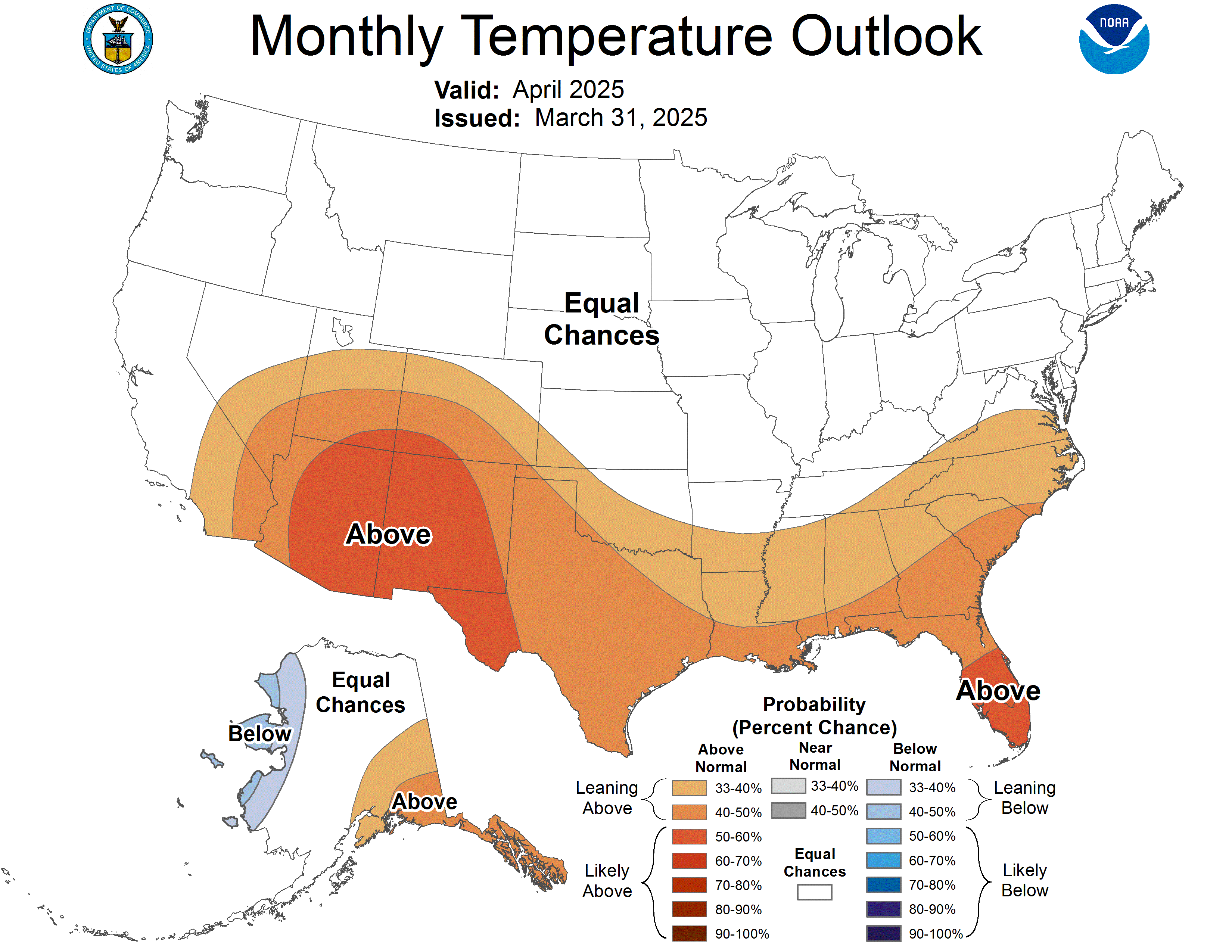
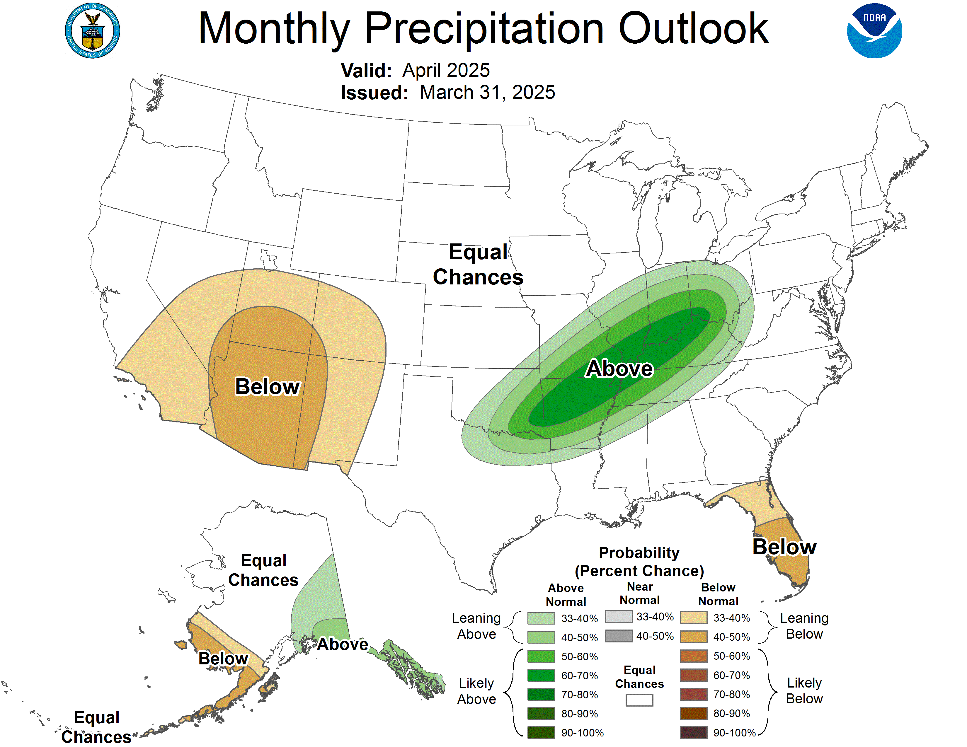
The outlook from the Climate Prediction Center indicated that there are no strong climate signals that would point toward an unusually cold or mild October. The odds have been slightly tilted toward above average precipitation.

