A computer system upgrade will cause limited impacts to services between April 28, 2025 and April 30, 2025 Read More >
...A STATISTICAL PREVIEW OF CARIBOU'S AUGUST WEATHER...
Like most locations across the northern tier of the U.S., temperatures begin a downwardslope during the month of August that accelerates during the 2nd half of the month.
The warmest temperature ever observed during the month of August was 95 degrees on a few occasions, and most recently on August 2, 1975. The coldest temperature ever observed in August was 34 degrees observed several times over the years from August 25th through the end of the month, and most recently on August 25, 2003. A low temperature below 40 has never been observed from August 1st through the 12th. A light frost is a possibility during the last 10 days of the month.
Tropical systems or the remains of tropical systems occasionally can affect the area with heavy rainfall and gusty wind. The chance of a tropical system impacting the area generally increases during the course of the month. The all-time wettest month was August 1981 with a total of 12.09 inches, which also included the all-time wettest 24 hour period at Caribou with 6.89 inches, which may have been associated with moisture from Hurricane Dennis that passed off the Middle Atlantic coast.
The frequency of thunderstorms…and especially severe thunderstorms begins to drop off in August, especially so during the 2nd half of the month. August ranks as the 3rd most active month in terms of the reports of thunderstorms that produce damaging winds, large hail, and tornadoes.
AUGUST: CARIBOU’S TOP 5 WARMEST (AVERAGE TEMPERATURES):
68.2 DEGREES IN 2015
68.0 2012
67.2 1944
66.6 2016
66.6 1990
AUGUST: CARIBOU’S TOP 5 COLDEST (AVERAGE TEMPERATURES):
58.5 DEGREES IN 1964
58.6 1941 & 1982
58.7 1956
58.9 1957
AUGUST: CARIBOU’S TOP 5 WETTEST
12.09 INCHES IN 1981
9.58 2011
8.45 1958
7.86 1977
6.72 1991
AUGUST: CARIBOU’S TOP 5 DRIEST
0.55 INCH IN 2002
0.93 1957
1.39 1975
1.51 2001
1.52 1944
…AUGUST STATISTICS…
….TEMPERATURES (1981-2010 NORMALS)
AVERAGE HIGH……………………….....................................74.3
AVERAGE LOW………...........................................................52.9
MONTHLY AVERAGE…………………………………………..63.6
…PRECIPITATION…
MONTHLY AVERAGE………………………………………….....3.76 INCHES
AVERAGE DAYS WITH MEASURABLE PRECIPITATION…..13
LARGEST 24 HOUR RAINFALL………………………..………..6.89 INCHES, AUGUST 16-17, 1981
…MISCELLANEOUS AUGUST AVERAGES…
NORMAL HEATING DEGREE DAYS………………………..…96
NORMAL COOLING DEGREE DAYS……………………….…53
MEAN WIND SPEED……………………………………………..6.5 MPH
AVERAGE NUMBER OF DAYS W/THUNDERSTORMS….....4 (4.2)
AVERAGE NUMBER OF DAYS W/DENSE FOG…………..…2 (2.4)
MEAN NUMBER OF CLOUDY DAYS………………………….15
…SUNRISE AND SUNSET…
AUGUST 1ST…………………………………………………5:12 AM/8:04 PM
AUGUST 31ST ……………………………………………….5:50 AM/7:13 PM
LOSS OF DAYLIGHT…………………………………..……1 HOUR AND 29 MINUTES
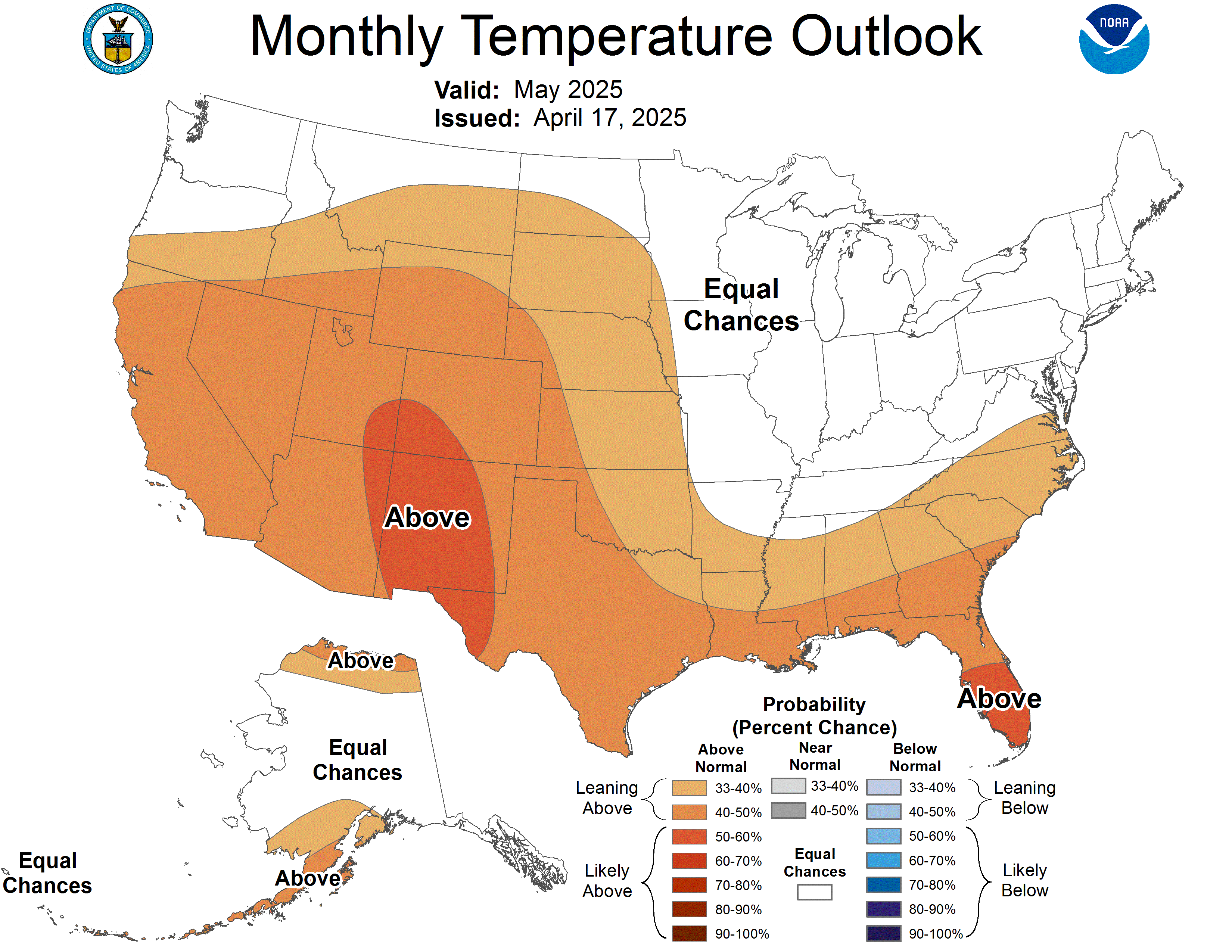
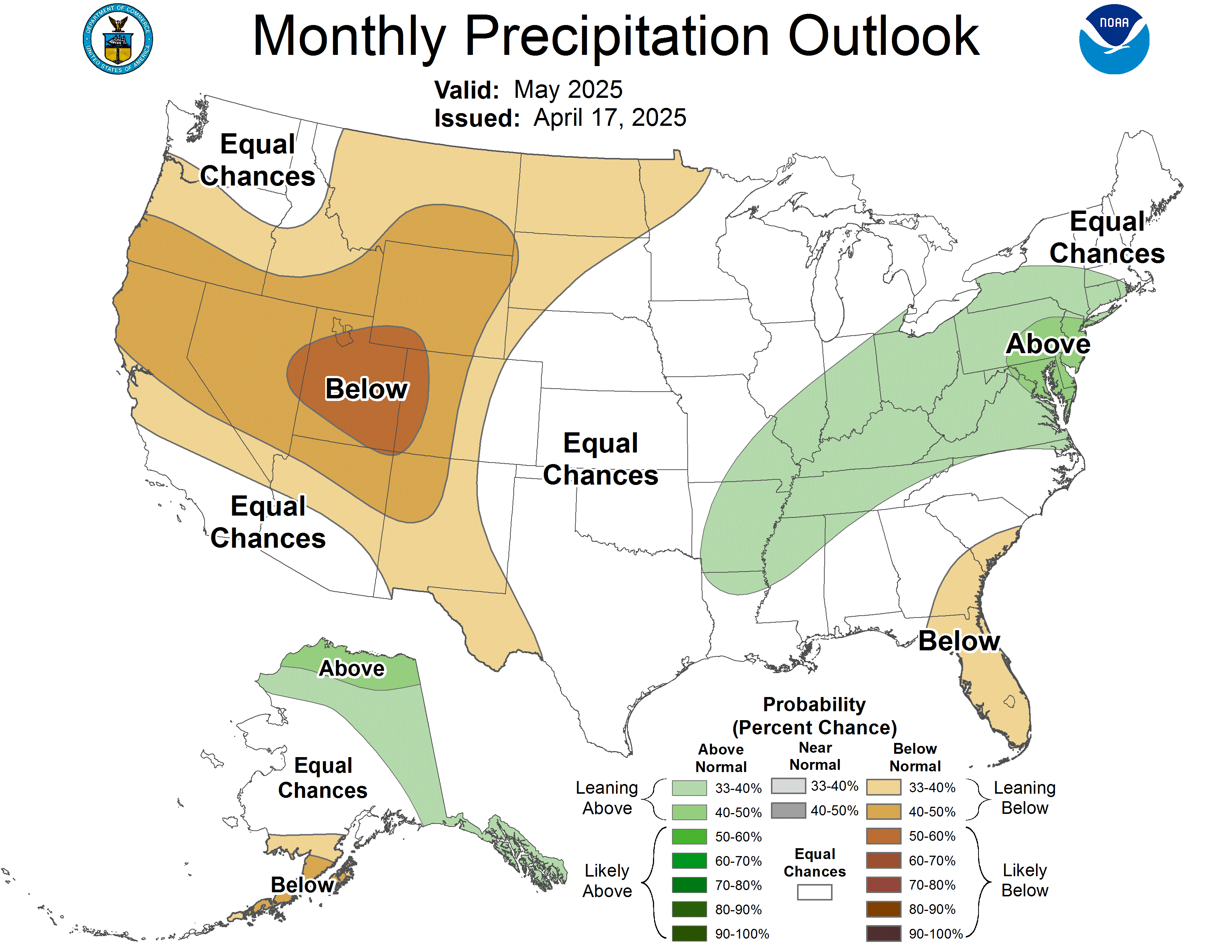
The outlook from the Climate Prediction Center for August calls for an increased chance of above average temperatures. There are no strong climate signals that would point toward an unusually dry or wet August.

