Columbia, SC
Weather Forecast Office
The National Weather Service in Columbia confirmed that an EF1 tornado touched down in Columbia, South Carolina on March 3rd, 2019.
 |
Click image for larger view
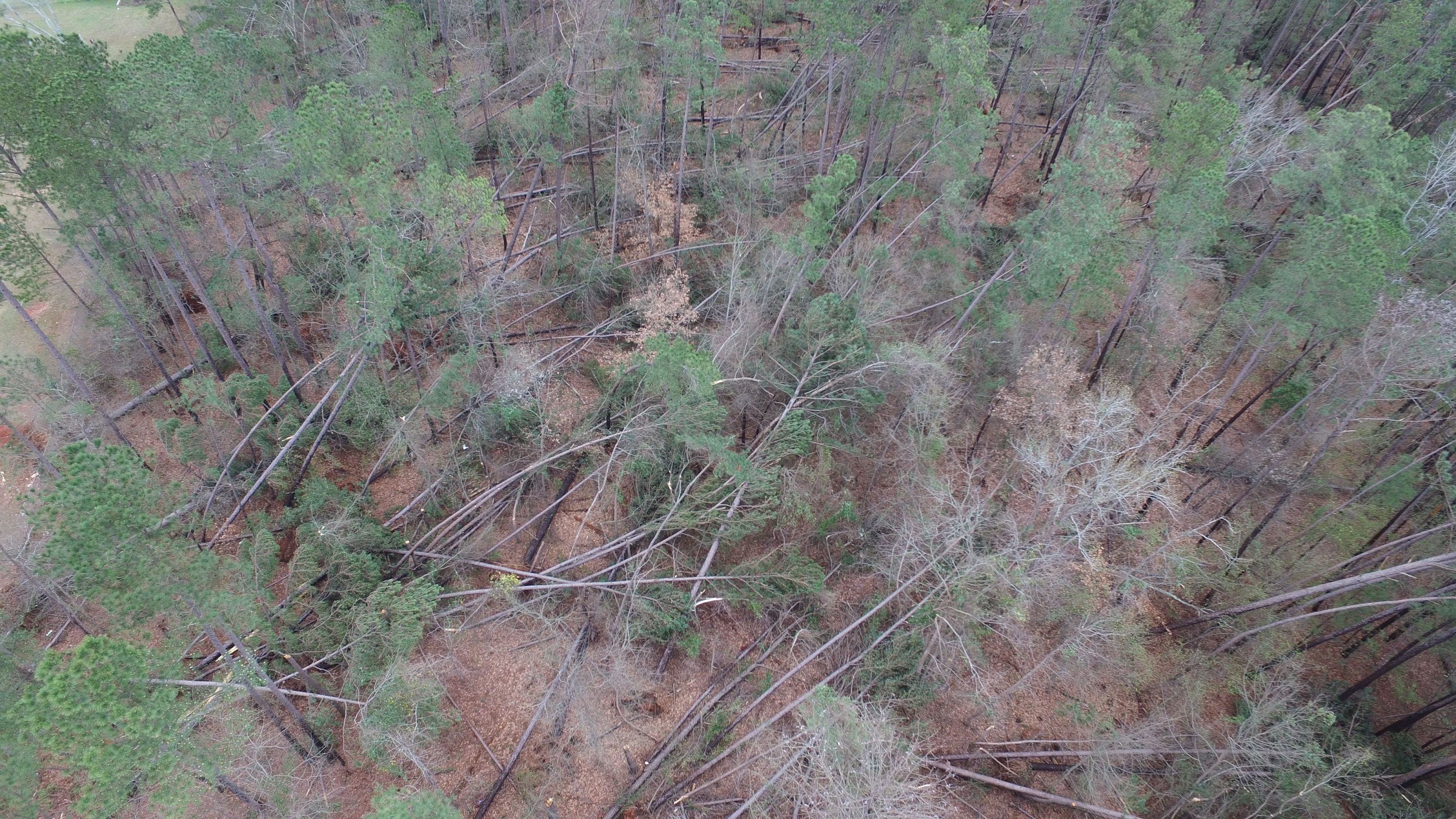
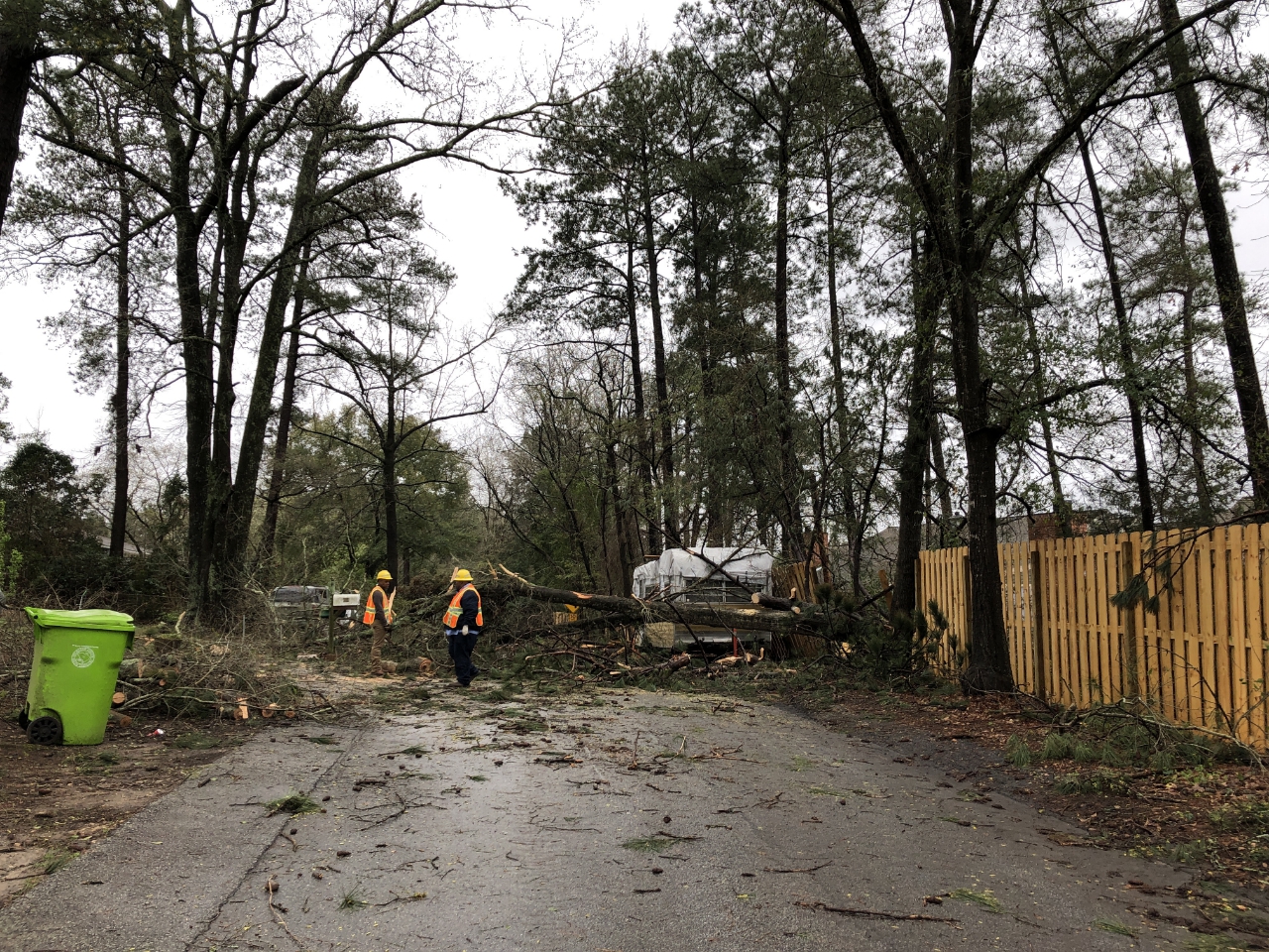
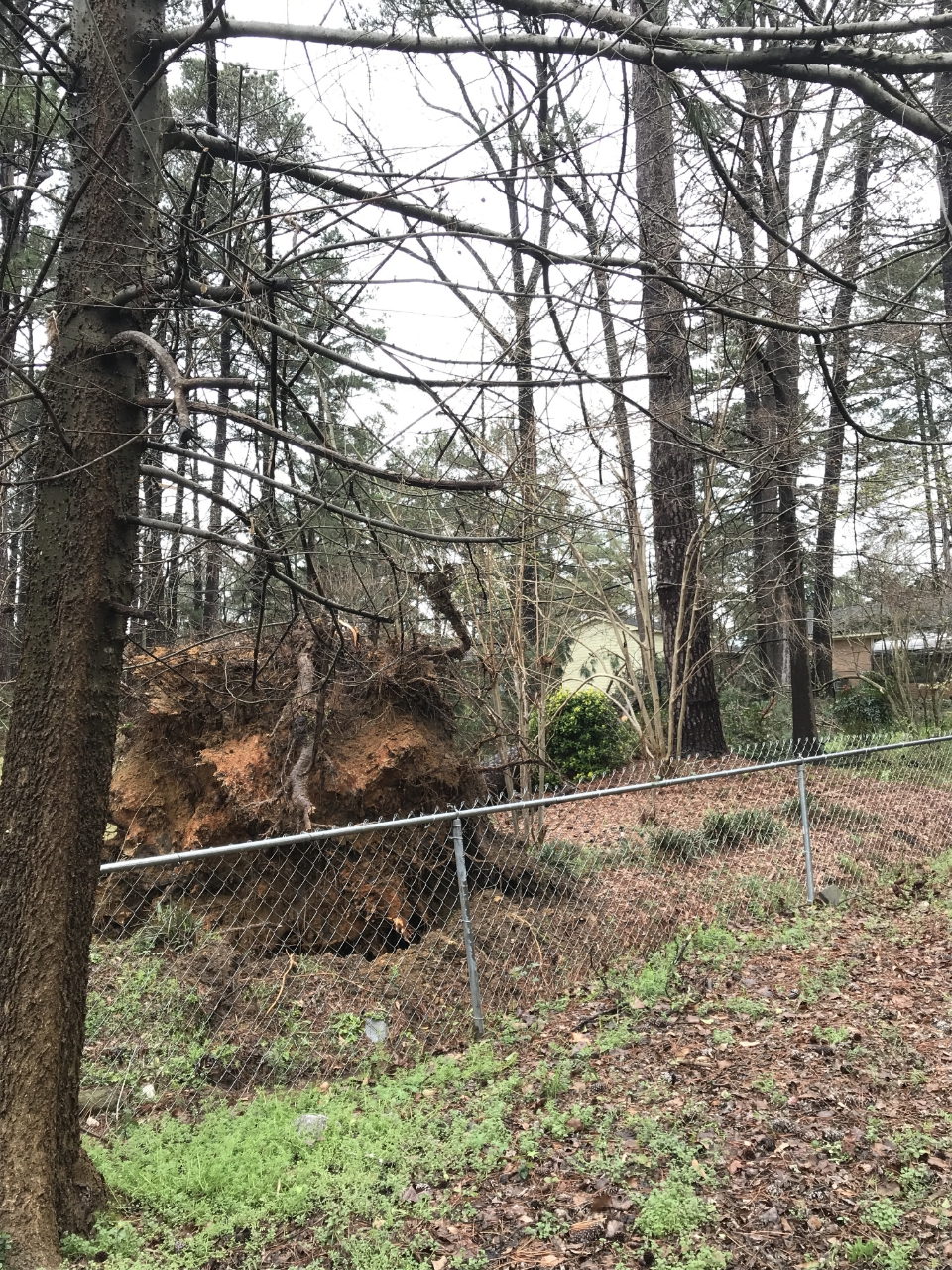
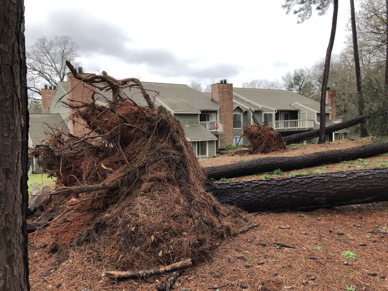
A tornado touched down near the Saluda River just south of the I-26 and I-126 interchange, north of Riverbanks Zoo. The tornado then tracked to the east for approximately 1.5 miles, crossing I-126, Janice Dr., Betsy Dr., Saluda River Rd., Timothy Dr., Moore Hopkins Ln. and Greystone Blvd., before dissipating near W Shawnee Rd. The tornado produced significant damage along its path, snapping and uprooting a significant amount of hardwood and softwood trees. Many of the trees fell onto vehicles and homes. Major structural damage occurred to several of the homes along the path due to the fallen trees. Additional straight line wind damage occurred east of the tornado to near Bull St.
Statistics Summary of the EF-1 Tornado in Columbia, SC on March 3rd, 2019
| Location | Estimated Start Time | Maximum EF-Scale Rating | Estimated Maximum Wind Speed | Maximum Path Width | Path Length | Fatalities | Injuries |
|---|---|---|---|---|---|---|---|
| Columbia, SC | 7:13 PM | EF1 | 105 MPH | 150 yards | 1.46 miles | 0 | 0 |
*This information is preliminary and subject to change pending final review of the event and publication in NWS Storm Data.
| Photos from across the Region (click for a larger image) | ||
| Aerial view of downed trees | Aerial view of downed treesTrees | Aerial view of downed trees |
| Aerial view of downed trees | Aerial view of downed trees | Aerial view of damaged homes |
| Aerial view of damaged homes | Downed Trees | Uprooted Tree |
| Uprooted Tree | Uprooted Tree | Uprooted Tree |
| Downed Trees | Snapped and Downed Trees | Snapped Trees. |
| Debris in Trees |
|
|
Hazards
Georgia
South Carolina
National Warnings
Hazardous Outlook
Tropical Weather
Weather Briefing
Provide Storm Reports
Email Alerts
Enhanced Hazardous Weather Outlook
GIS
KML/KMZ Data
Shapefile Data
Current Conditions
Observations
Satellite Images
Five Points
River and Lake Levels
River and Lake NWPS
Coop Reports
Lake Observations
Met Calculator
Mesonet Data
Radar
Charlotte TDWR
Columbia Radar
Nationwide
Forecasts
Winter
Activity Planner
Graphic Forecasts
Text Products
Aviation
Marine
Fire Weather
Air Quality
Forecast Discussion
RSS/XML
Experimental FRET
Hydrology
SC Streamflow
GA Streamflow
Drought Info
River and Lakes NWPS
Climate
Climate Plots
National
Local Climo
CoCoRaHs
Weather History Calendar
SERCC
NCEI
US Dept of Commerce
National Oceanic and Atmospheric Administration
National Weather Service
Columbia, SC
2909 Aviation Way
West Columbia, SC 29170-2102
(803) 822-8135
Comments? Questions? Please Contact Us.


