National Weather Service United States Department of Commerce

Strong southwest to west winds will continue along the western foothills in south central Montana through Tuesday. Travelers, especially those in high-profile vehicles and towing trailers, should expect to encounter hazardous crosswinds on portions of I-90 and US-191. Please check forecasts and road reports before traveling.
A cold front will be followed by a push of strong west winds across the region on Monday. Gusts will reach or exceed 60 mph along the western foothills, while areas east of the foothills see 30 to 50 mph gusts, even near the Dakotas border. Plan your travel and outdoor activities accordingly. Tuesday will be another windy day across the region.
An extended period of mountain snowfall can be expected for the western mountains through Tuesday night. Persistent light to moderate snowfall will bring totals in excess of a foot for some locations. Strong winds will create blowing snow.
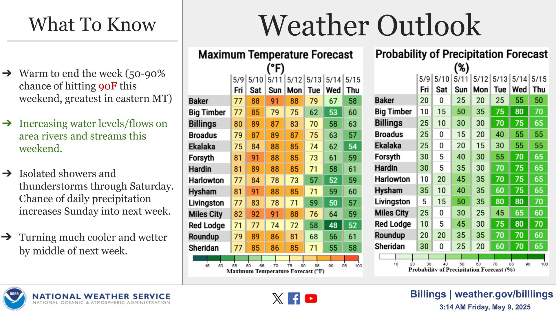
Warmer temperatures are leading to significant snowmelt and runoff over frozen ground. The threat of localized flooding from this process will increase into next week. If you have interests along waterways and in flood prone areas, be prepared for the potential of rising waters.
As the warmer temperatures return, be aware of falling roof snow and ice. If necessary, take precautions to protect yourself, pets, and property from any potential damage.


Text Product Selector (Selected product opens in current window)