Overview
|
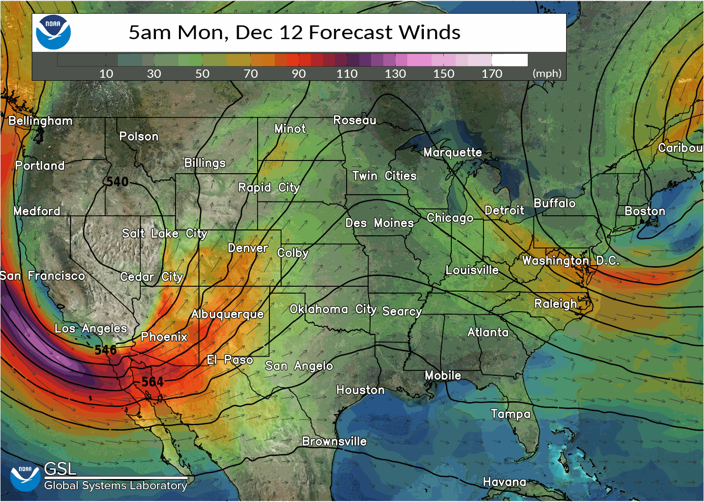
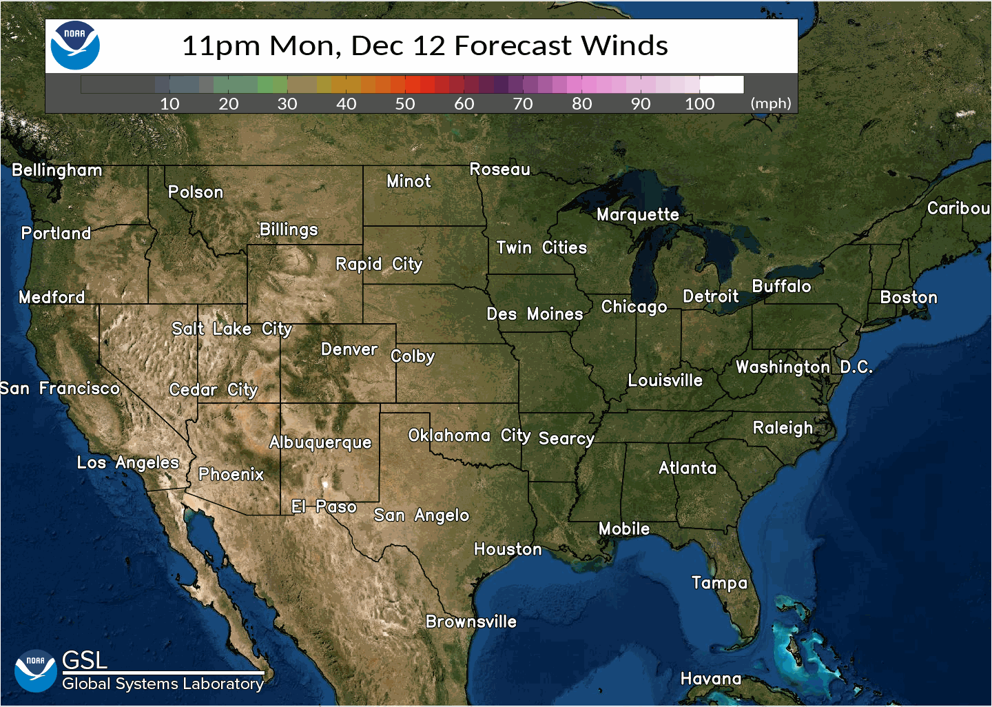
A Colorado Low brought heavy snow to portions of the area starting early Monday morning (December 12th) and persisting through Thursday night, December 15-16th. Blizzard conditions impacted southeast Montana, especially on Thursday, which included strong and gusty winds along with the visibility being reduced to 1/4 mile or less at times. Portions of I-90 were closed for a prolonged period of time due to the blizzard. |
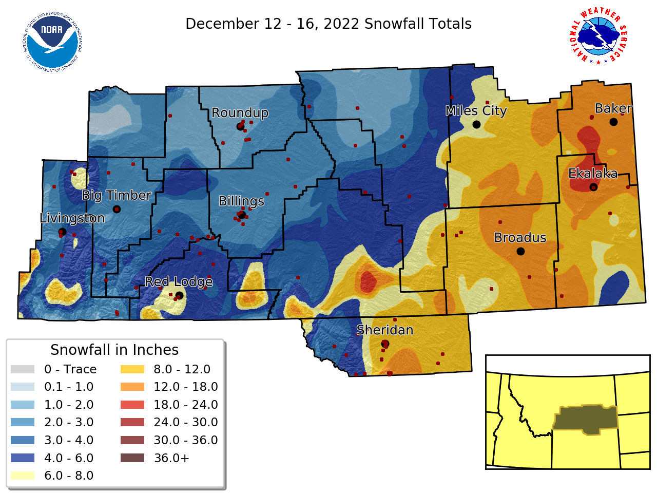
.png) Storm total snowfall. |
Storm Overview
 |
 |
.gif) |
.gif) |
| This is a loop of the GEFS 500mb heights and winds showing the cutoff low working its way across the country. | GFS model depiction of the Colorado Low and its northeastward track. You can also see the tight pressure gradient develop between the low and the high. | GFS loop of integrated vapor transport. You can see some moisture get wrapped around the low as the heavier snow began in Montana. | Generalized loop of the radar during the event. For a detailed look at what happened, please see the Radar tab. |
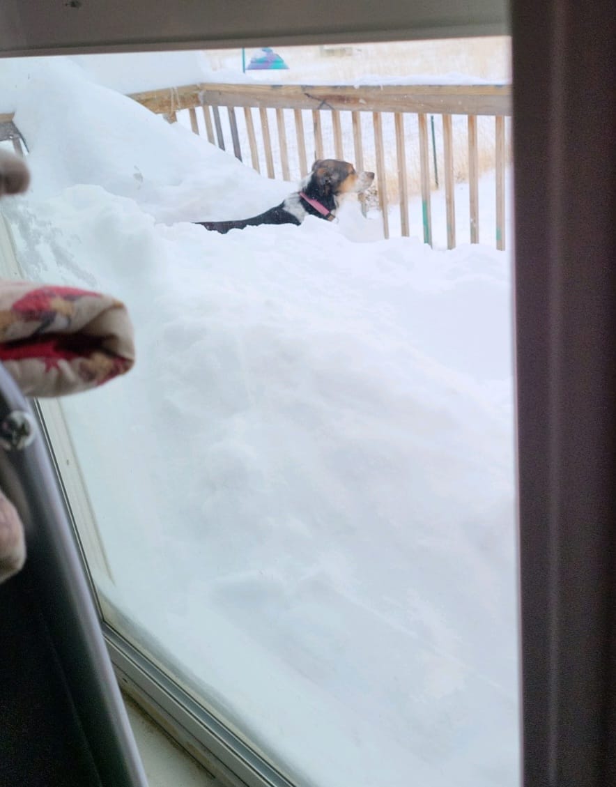
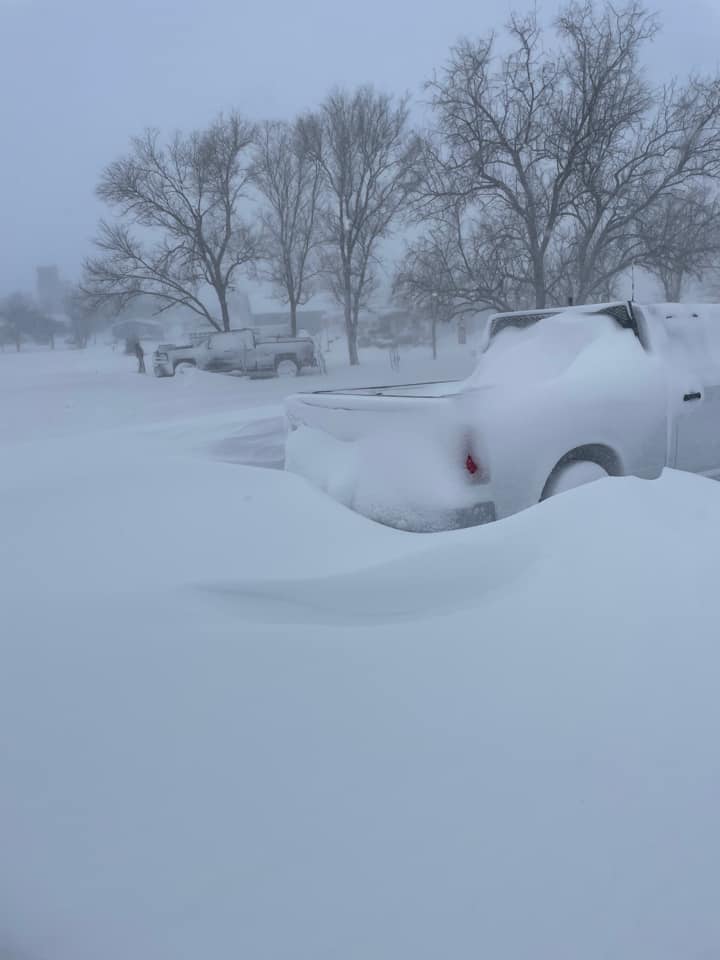
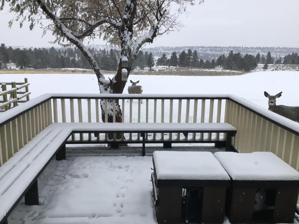
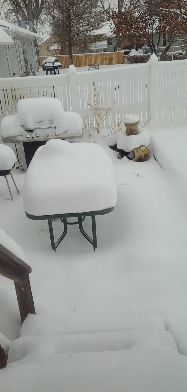
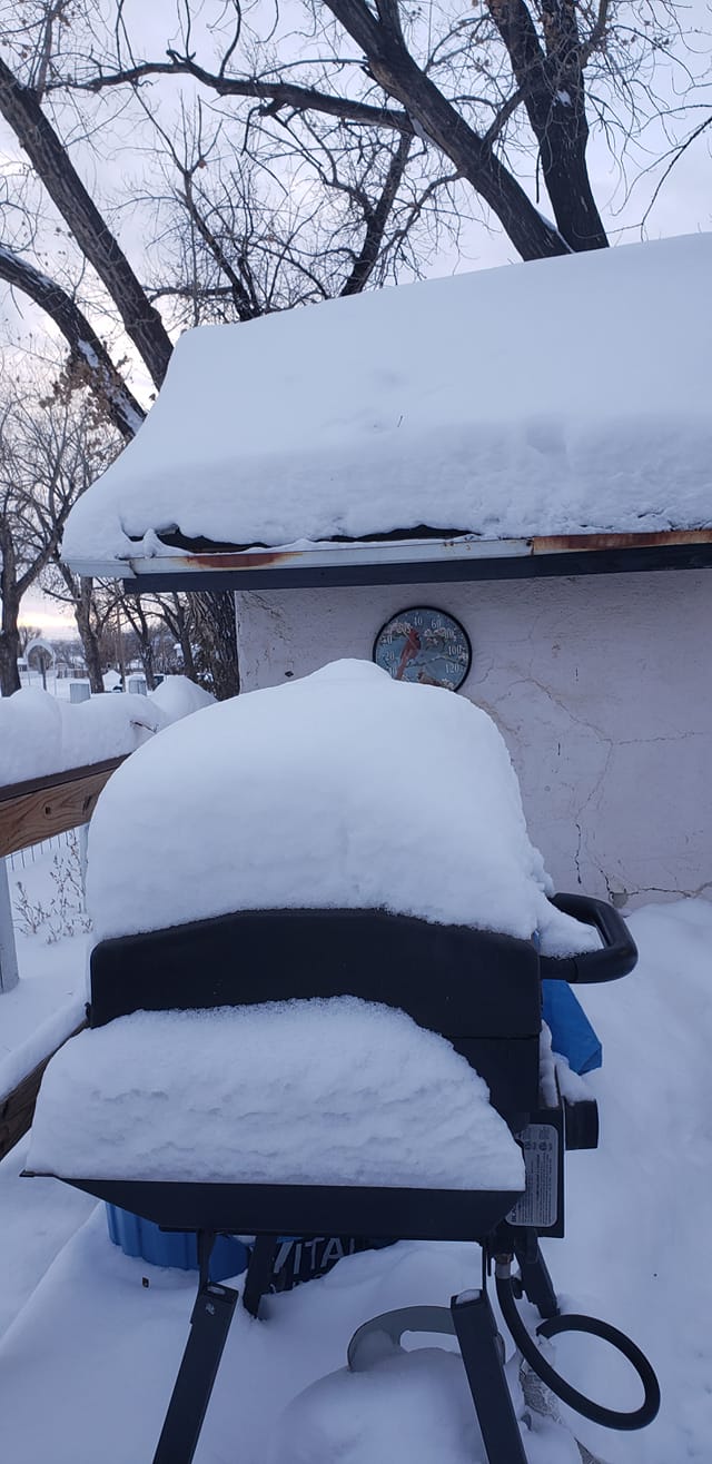
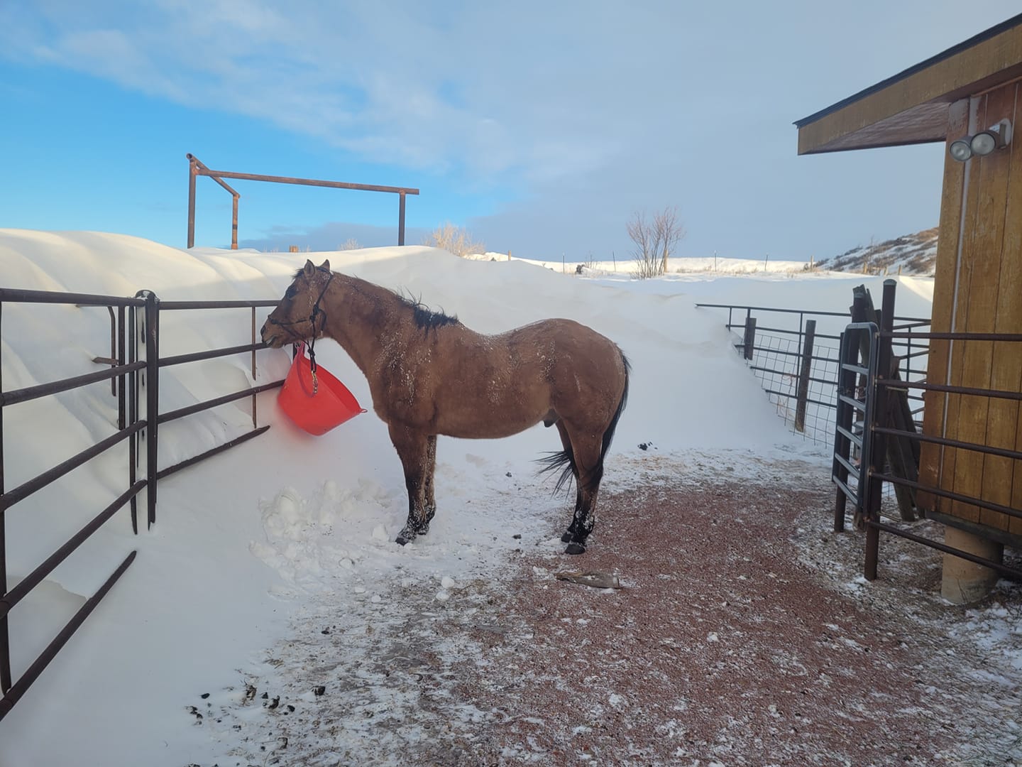
Photos
 |
 |
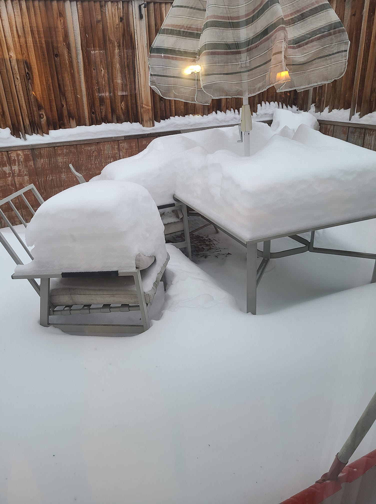 |
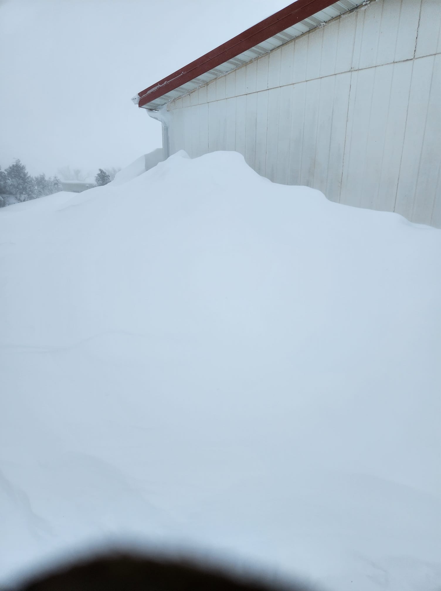 |
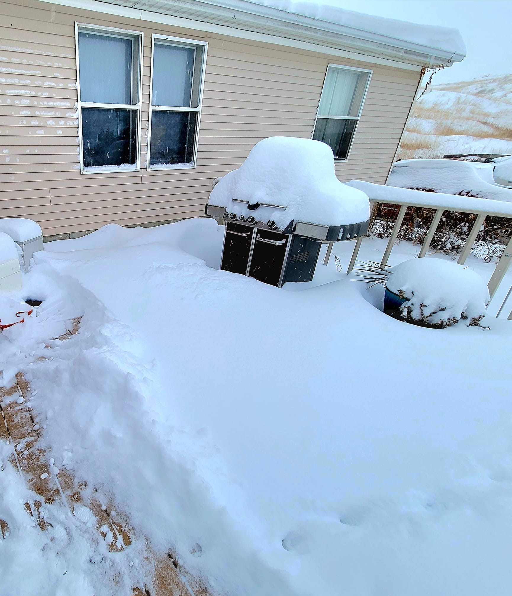
| 14" of snow had fallen by 8 AM Wednesday (Dec 14th) 14 miles SSE of Broadus, MT. (Dana W on Facebook) |
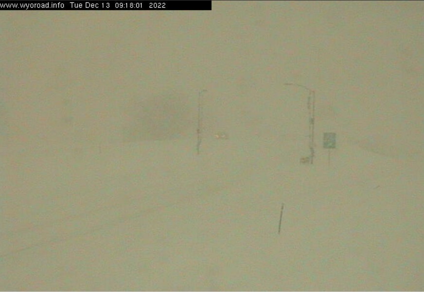
WYDOT webcam image of I-90 in Sheridan, WY at 9:30 am on Tuesday, Dec 13, 2022. (WYDOT) |
Sheridan, Wyoming. (FB via Connie M.) |
Baker, Montana. (FB via Bekki R.) |
 |
 |
 |
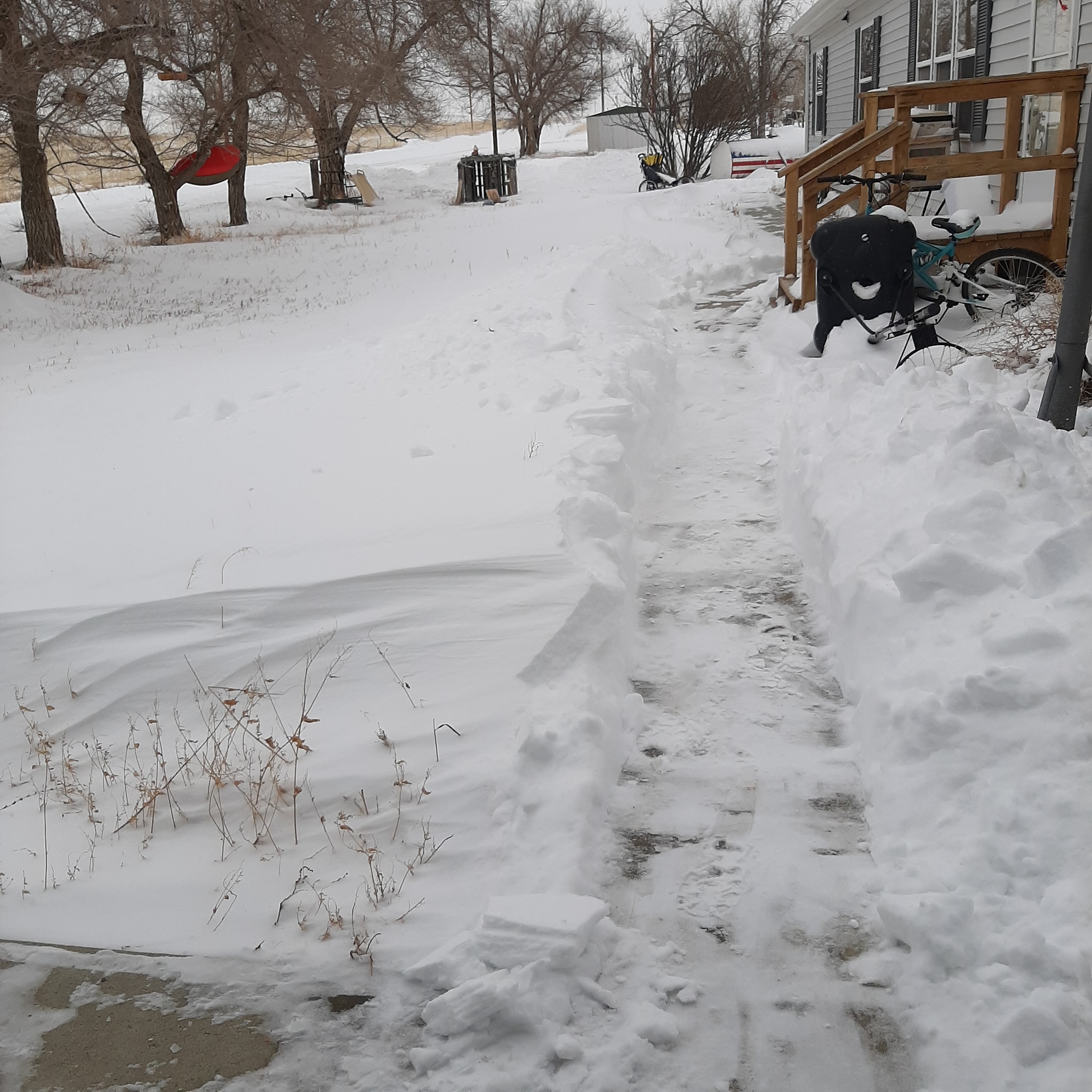 |
| Fairview, Montana. (FB via Kellie W.) |
Baker, Montana. (FB via Trevor N.) |
Molt, Montana (FB via Jerry U.) |
Clearmont, Wyoming. (FB via Amy R.) |
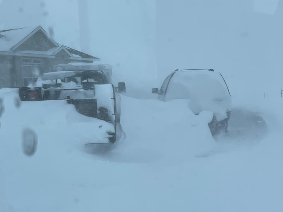 |
 |
 |
 |
| Baker, Montana. (FB via Brittanie J.) |
Miles City, Montana. (FB via Courtney H.) |
Broadus, Montana. (FB via Kathy H.) |
Banner, Wyoming. (FB via Heather A.) |
Radar
It is important to note that when looking at radar for these snow events, many areas in northern Wyoming or southeast Montana may appear to not have any precipitation ongoing, however, the precipitation is just too shallow and the radar "shoots over the top" of this precipitation.
7 AM Mon through 8 AM Tue
.gif) |
.gif) |
.gif) |
.gif) |
| Radar Loop 7 AM Monday through 1 PM Monday. | Radar Loop 2 PM Monday through 8 PM Monday. | Radar Loop 8 PM Monday through 2 AM Tuesday. | Radar Loop 2 AM Tuesday through 8 AM Tuesday. |
8 AM Tue through 8 AM Wed
.gif) |
.gif) |
.gif) |
.gif) |
| Radar Loop 8 AM Tuesday through 2 PM Tuesday. | Radar Loop 2 PM Tuesday through 8 PM Wednesday. | Radar Loop 8 PM Tuesday through 2 AM Wednesday. | Radar Loop 2 AM Wednesday through 8 AM Wednesday. |
8 AM Wed through 2 AM Thur
.gif) |
.gif) |
.gif) |
| Radar Loop 8 AM Wednesday through 2 PM Wednesday. | Radar Loop 2 PM Wednesday through 8 PM Wednesday. | Radar Loop 8 PM Wednesday through 2 AM Thursday. |
Storm Reports
...PRELIMINARY STORM INFORMATION...

...FOR EVENTS THAT OCCURRED FROM 1200 PM MON DEC 12 2022
   THROUGH 1159 PM THU DEC 15 2022...

   Notes:  Location of reports are referenced from city center.
           Snowfall reports from SNOTEL sites are estimated.


...BIG HORN COUNTY...
   ***** Storm Total Snowfall Reports *****      Time           Snowfall
      Fort Smith 0.5 ENE                         7 AM Thu        4.1  in

...CARBON COUNTY...
   ***** Storm Total Snowfall Reports *****      Time           Snowfall
      Red Lodge 3.0 SW                           7 AM Thu        8.0  in
      Red Lodge 1.0 S                            5 PM Wed        7.6  in
      Red Lodge 4.8 W                            1 AM Thu        7.0  in
      Fromberg 2.7 NE                            7 AM Thu        5.8  in
      Luther 3.4 SSW                             1 AM Thu        5.0  in
      Joliet 2.2 WNW                             7 AM Thu        4.5  in
      Bridger 2.3 N                              7 AM Thu        4.0  in
      Bridger 4.0 SSW                           10 AM Tue        3.0  in

...CARTER COUNTY...
   ***** Storm Total Snowfall Reports *****      Time           Snowfall
      Ridge 3.8 NE                               7 AM Thu       17.5  in
      Ekalaka 0.2 ENE                            5 PM Wed       13.7  in
      Ekalaka 16.3 SSE                           5 PM Wed        5.0  in

...CUSTER COUNTY...
   ***** Storm Total Snowfall Reports *****      Time           Snowfall
      Kinsey 2.3 W                               7 AM Thu        6.3  in
      Miles City 19.5 NW                         8 AM Wed        6.0  in

...FALLON COUNTY...
   ***** Storm Total Snowfall Reports *****      Time           Snowfall
      Plevna 0.4 SSW                             7 AM Thu       16.5  in

...GOLDEN VALLEY COUNTY...
   ***** Storm Total Snowfall Reports *****      Time           Snowfall
      Ryegate 18 NNW                             7 AM Tue        2.0  in

...MUSSELSHELL COUNTY...
   ***** Storm Total Snowfall Reports *****      Time           Snowfall
      Roundup 8.1 SE                             6 AM Tue        2.5  in
      Klein 5 SE                                 7 AM Wed        2.0  in
      Roundup 3.0 NNE                            8 AM Tue        1.7  in
      Roundup 3.3 SE                            10 PM Tue        1.6  in
      Roundup 6.2 ENE                            7 AM Thu        1.5  in
      Roundup 1.5 NNE                            8 AM Tue        1.5  in
      Roundup 0.6 NW                             7 AM Tue        1.5  in
      Roundup 15 SW                              7 AM Tue        1.0  in

...PARK COUNTY...
   ***** Storm Total Snowfall Reports *****      Time           Snowfall
      Wilsall 12.7 ENE                           1 AM Thu       11.0  in
      Livingston 6.6 ESE                         7 AM Thu        6.2  in
      Wilsall 12.3 NE                            1 AM Thu        4.0  in
      Livingston 12 S                            6 PM Wed        3.7  in
      Cooke City 2.1 N                           1 AM Thu        2.0  in
      Livingston 1 WSW                           8 AM Thu        1.9  in
      Wilsall 0.3 NW                             7 AM Thu        1.3  in
      Livingston 2.3 SSW                         7 AM Thu        1.0  in
      Cooke City 3.0 N                           1 AM Thu        1.0  in
      Springdale 0.3 NE                          8 AM Tue        1.0  in

...POWDER RIVER COUNTY...
   ***** Storm Total Snowfall Reports *****      Time           Snowfall
      Broadus 18.8 NNW                           7 AM Thu       20.0  in
      Broadus 14.2 SSE                           8 AM Wed       14.0  in
      Ashland 9.7 ESE                            5 AM Thu       13.0  in
      Boyes 1.7 NNE                              8 AM Thu       10.3  in
      Moorhead 9.5 NE                            6 PM Wed        4.5  in

...ROSEBUD COUNTY...
   ***** Storm Total Snowfall Reports *****      Time           Snowfall
      Ashland                                   11 AM Wed       11.0  in
      Colstrip 19.8 ESE                          6 PM Wed        4.0  in
      Colstrip 1.0 N                             8 AM Wed        3.8  in
      Melstone 5.7 E                             7 AM Thu        3.7  in
      Forsyth 0.4 NNE                           10 PM Wed        3.5  in

...SHERIDAN COUNTY...
   ***** Storm Total Snowfall Reports *****      Time           Snowfall
      Story 2.1 WSW                              8 AM Thu       19.5  in
      Story 0.9 W                                7 AM Thu       18.0  in
      Big Horn 0.8 W                             8 AM Thu       15.1  in
      Sheridan 1.0 N                             6 AM Thu       15.0  in
      Sheridan 1.7 NW                            8 AM Thu       14.1  in
      Sheridan 1.1 SSW                           8 AM Thu       13.4  in
      Clearmont 5.1 NNE                          7 AM Wed       11.6  in
      Sheridan 1.6 S                             8 PM Tue       11.0  in
      Sheridan                                   6 PM Tue       10.5  in
      Sheridan 3.4 SSW                           7 AM Thu        9.5  in
      Clearmont 20 S                             9 AM Wed        9.0  in
      Sheridan 13.8 NNE                          7 AM Thu        8.5  in
      Sheridan                                   9 AM Tue        7.0  in
      Sheridan 8.2 SSW                           7 AM Tue        6.9  in
      Ranchester                                 8 AM Tue        5.0  in
      Story 2.1 W                                7 AM Thu        4.0  in
      Burgess Junction 6.7 ESE                   1 AM Thu        2.0  in

...STILLWATER COUNTY...
   ***** Storm Total Snowfall Reports *****      Time           Snowfall
      Columbus 0.9 NW                            7 AM Thu        4.0  in
      Fishtail 18.1 SW                           4 PM Thu        3.5  in
      Columbus 7.2 E                             7 AM Thu        3.5  in
      Columbus 7.5 E                             7 AM Thu        3.0  in
      Reed Point 5 SE                            6 AM Thu        3.0  in
      Park City 6.0 WSW                          4 PM Wed        2.7  in
      Park City 2.7 ESE                          9 AM Tue        2.0  in
      Park City 0.5 S                            7 AM Tue        2.0  in

...SWEET GRASS COUNTY...
   ***** Storm Total Snowfall Reports *****      Time           Snowfall
      Nye 13.6 W                                 1 AM Thu        3.0  in
      Nye 15.7 SW                                1 AM Thu        3.0  in
      Melville 10.1 ENE                          7 AM Tue        2.5  in
      Melville 4.7 W                             6 PM Tue        2.3  in
      Big Timber 0.3 ESE                         7 PM Tue        1.5  in

...TREASURE COUNTY...
   ***** Storm Total Snowfall Reports *****      Time           Snowfall
      Hysham 25.0 SSE                            8 AM Thu        7.0  in
      Hysham 0.3 SE                              8 AM Thu        1.3  in

...YELLOWSTONE COUNTY...
   ***** Storm Total Snowfall Reports *****      Time           Snowfall
      Billings 1.7 W                             7 AM Tue        3.5  in
      Billings 3.2 NNE                           7 AM Tue        3.0  in
      Billings 2.6 NW                           11 PM Wed        2.8  in
      Billings 4.5 NE                            8 AM Thu        2.7  in
      Pompeys Pillar 14.6 N                      7 AM Thu        2.7  in
      Billings 3.9 SW                           11 PM Wed        2.1  in
      Billings 5.1 S                             7 AM Wed        2.0  in
      Pompeys Pillar 1.2 E                       6 PM Tue        2.0  in
      Huntley 3.6 ENE                            8 AM Thu        1.9  in
      Billings 4.2 WSW                           6 AM Tue        1.8  in
      Billings 1.4 SE                            9 AM Thu        1.6  in
Decision Support Service
This is a timeline of messaging and product issuance leading up to this prolonged storm.
Wednesday, Dec 7 (T minus 5 days to start of storm)
Thursday, Dec 8 (T minus 4 days to start of storm)
Friday, Dec 9 (T minus 3 days to start of storm)
Saturday, Dec 10 (T minus 2 days to start of storm)
Sunday, Dec 11 (T minus 1 day to start of storm)
Monday, Dec 12 (Start of storm)
Tuesday, Dec 13 (Storm continues)
Messaging regarding the blizzard continued throughout the remainder of the duration of the storm. While little in the way of additional snow fell Thursday night into Friday (Dec. 15-16), blizzard conditions continued thanks to strong winds and significant blowing snow.
 |
Media use of NWS Web News Stories is encouraged! Please acknowledge the NWS as the source of any news information accessed from this site. |
|

